Houston: Extreme Weather, Environmental Justice, and the Energy Transition


Houston, Texas, has been called the “prophetic city.” It is a city that is reflective of America’s past, with its celebration of individualism and economic opportunity combined with legacies of extraction and racial disparities. As a testament to its continued dynamism, it is also a city that is rapidly changing, driven by its increasingly diverse and growing population. In Houston, the drivers of the twentieth-century city—cars and fossil fuels—will have to give way to those of the twenty-first century: extreme weather, environmental justice, and the energy transition.
In this studio, we explored the challenges and opportunities that come with this transformation along these three drivers and designed responses on various scales, with a focus on the areas around the Ship Channel, which runs from downtown Houston to Galveston Bay.
The climate crisis has manifested itself in Houston from repeated five-hundred-year flood events to cold snaps and subsequent grid failure. As in most places, such events disproportionately impact the city’s marginalized populations. In response, Houston has developed an ambitious resilience strategy and climate action plan supported by billions of dollars in funding. Climate adaptation, however, is challenging given the city’s geography and the state of its infrastructure. Climate mitigation might even be more difficult due to the dominance of the car and the petrochemical industry.
Houston’s lack of zoning, its history of structural racism, and its role as a center for distribution, logistics, and petrochemical industries have resulted in massive disparities in health outcomes, educational attainment, and economic opportunity—especially for the communities of color that have been bisected by highways or that are adjacent to the industrial areas of the Ship Channel. How can legacies of pollution be remediated, and how can these injustices be remedied?
The City of Houston, and even industry organizations such as the Greater Houston Partnership, acknowledge the need to transition away from fossil fuels. For a city shaped by the energy industry, especially around the Ship Channel, this will provide opportunities to reimagine large swaths of its urban area. Questions about this transition, however, abound. How can it unroll, and will it be fast enough? Who will drive this transition, and who will benefit? What are the spatial interventions that can trigger innovation?
This studio sought to begin to answer some of these questions. Taken together, these designs form a catalog of responses that can stimulate conversation about Houston’s transformation to a climate-resilient and “just city” in a post-carbon world.
Studio Instructor
Matthijs Bouw
Teaching Assistant
Youngsoo Yang
Students
Christopher Ball
Cristian Bas
Dylan Culp
Yijia Duan
Grant Fahlgren
Kai Guo
Percy Long
Wanjiku Ngare
TR Radhakrishnan
Skyler Smith
Tian Wei Li
Youngsoo Yang
Mid-Review Critics
Amna Ansari
Janice Barnes
Sean Chiao
Steven Duong
Dalia Munenzon
Albert Pope
Margaret Wallace Brown
Final Review Critics
Lauren Alexander Augustine
Janice Barnes
Sean Chiao
Gonzalo Cruz
Steven Duong
Gina Ford
Cleo Glenn Johnson-McLaughlin
Nancy Lin
James McLaughlin
Dalia Munenzon
Sarah Whiting
Ross Wimer
78 Economy
Yijia Duan, Skyler Smith, Youngsoo Yang
What If? Scenarios
86 Propositions
Projects
98 Activism by Design
Tian Wei Li, TR Radhakrishnan, Skyler Smith
126 Reuse by Design
Dylan Culp, Youngsoo Yang
138 Resilience by Design
Cristian Bas, Wanjiku Ngare
160 Adaptation by Design
Yijia Duan, Kai Guo, Percy Long
Christopher Ball, Grant


Houston. It was the first word heard on the moon (Houston, Tranquility Base Here. The Eagle Has Landed, proclaimed Neil Armstrong in 1969). The word continues to resonate with otherworldliness today. While Houston boasted the first electric streetcar system in 1891, the city now sprawls across 665 square miles and is associated with endless highways rather than public transit. Seemingly dominating its subtropical climate with air conditioning, Houston expanded with astonishing rapidity across the second half of the twentieth century as it took on the role of energy capital of the world.
Today, however, Houston’s sprawl and hermetically sealed towers have become visible emblems of how not to design for a planet in peril. An alarming rise in extreme weather events, combined with rapidly increasing temperatures (Houston averages temperatures that are already three degrees higher than they were at the end of the twentieth century) and numerous social and spatial inequities, make it urgently necessary to imagine alternative futures for the city.
These are the kinds of challenges that we love to sink our teeth (and brains) into as a design school, but it is an especially daunting enterprise to take on a challenge of Houston’s complexity in a fourteen-week studio. I want to thank our visiting design critic Matthijs Bouw for organizing a remarkable studio that used design strategies of adaptation, mitigation, and justice to envision how to reconfigure the Houston Ship Channel — the busiest waterway in the U.S. — as it transitions from hosting the biggest petrochemical complex of its kind to sites for clean energy, logistics, and natural systems. The studio additionally explored ways of addressing the appalling social, environmental, and economic inequities long experienced by the neighborhoods abutting the Channel.
Part of this ambitious semester was devoted to research, conducted in groups and resulting very quickly in an important shared resource. Experts joined the studio at points to expose the students to strategies of geological sciences, urban development, data science, and community engagement, among others. Our partnership with AECOM, which made this studio possible, afforded us access to still further information, expertise, and assistance.
The results were group projects, each devoted to one large component of this immense urban challenge: activism, reuse, resilience, adaptation, and culture. The studio results have to be appreciated in combination. While the projects displayed within this Studio Report are innovative and interesting individually, the studio was itself a deep dive into synthetic design: the collaborative work started with the research and continued with the projects and even with this book, each iteration grouping different members of the studio. By the end, every student had learned that for design to succeed in tackling the greatest and most urgent challenges of the day, it has to be approached synthetically, connecting disciplines, connecting expertise, connecting topics, and connecting individual designers.
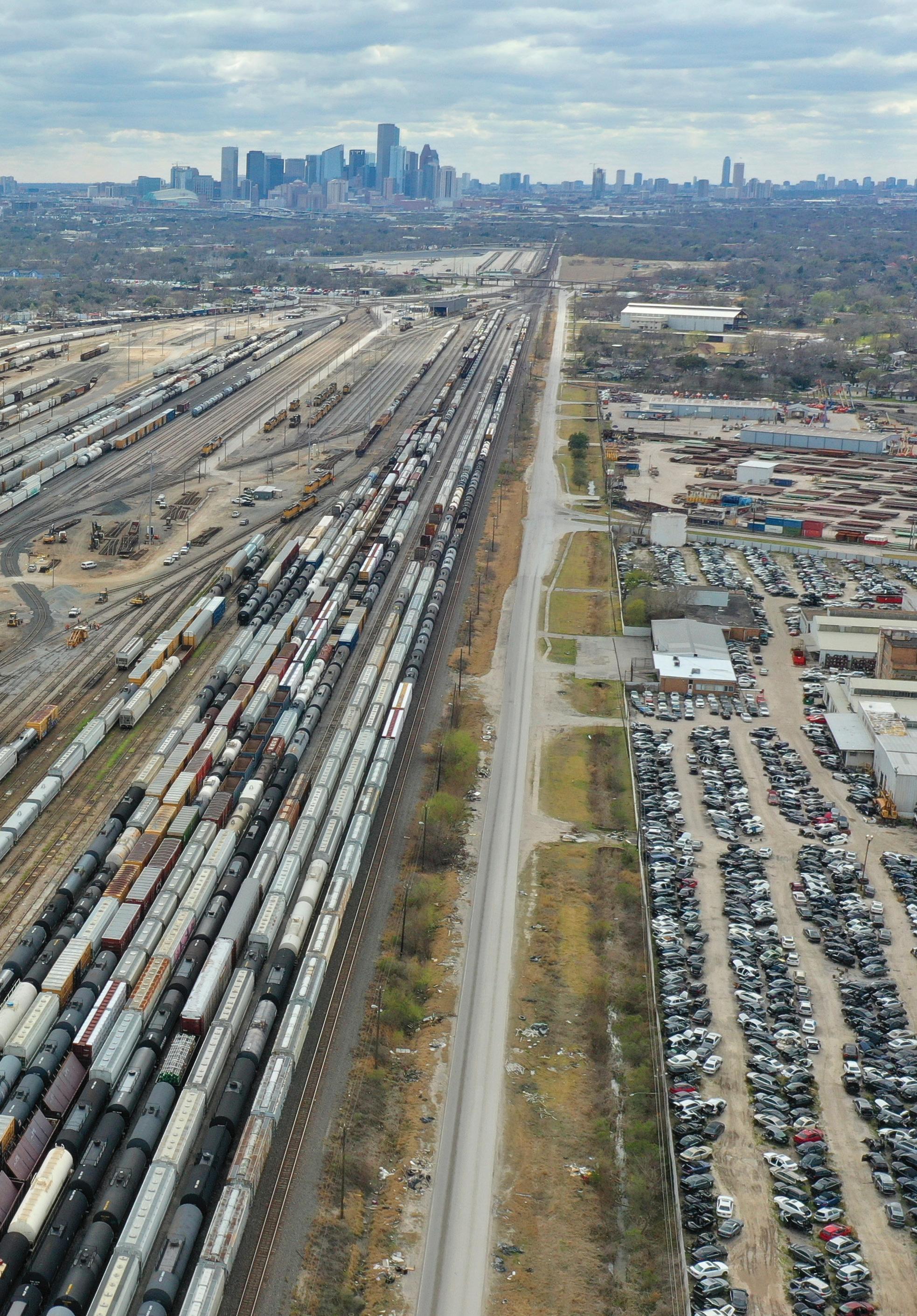
 Union Pacific Englewood Yard, looking toward downtown Houston.
 Bouw Studio Instructor
The climate crisis is not only changing what we design, but also how we design. Without stable environmental conditions, we must now design for constant change. Whatever we design now will have to perform, later in its useful life, in radically different climate conditions. What these conditions will be, and when certain conditions will be reached, we do not know. The pace and impact of a changing climate will depend largely on society’s ability to mitigate emissions and on often yet unknown feedback mechanisms in the Earth’s climatic system. Given that uncertainty, and the high costs of investing in worst-case adaptation scenarios, the buildings and infrastructures we design should not be designed for a final state, but rather as part of a succession of iterations in which any project becomes part of a process of constant change.
The uncertainty and unpredictability that characterizes the climate crisis makes it even more important to engage both the near term and the long term simultaneously. We need to understand how what we design can adapt, and how what we design (or decide not to design) can mitigate the climate crisis, which, in this complex system, also impacts the need for adaptation. Nowhere is that clearer than in Houston, where adaptation and mitigation are locked into a macabre dance.
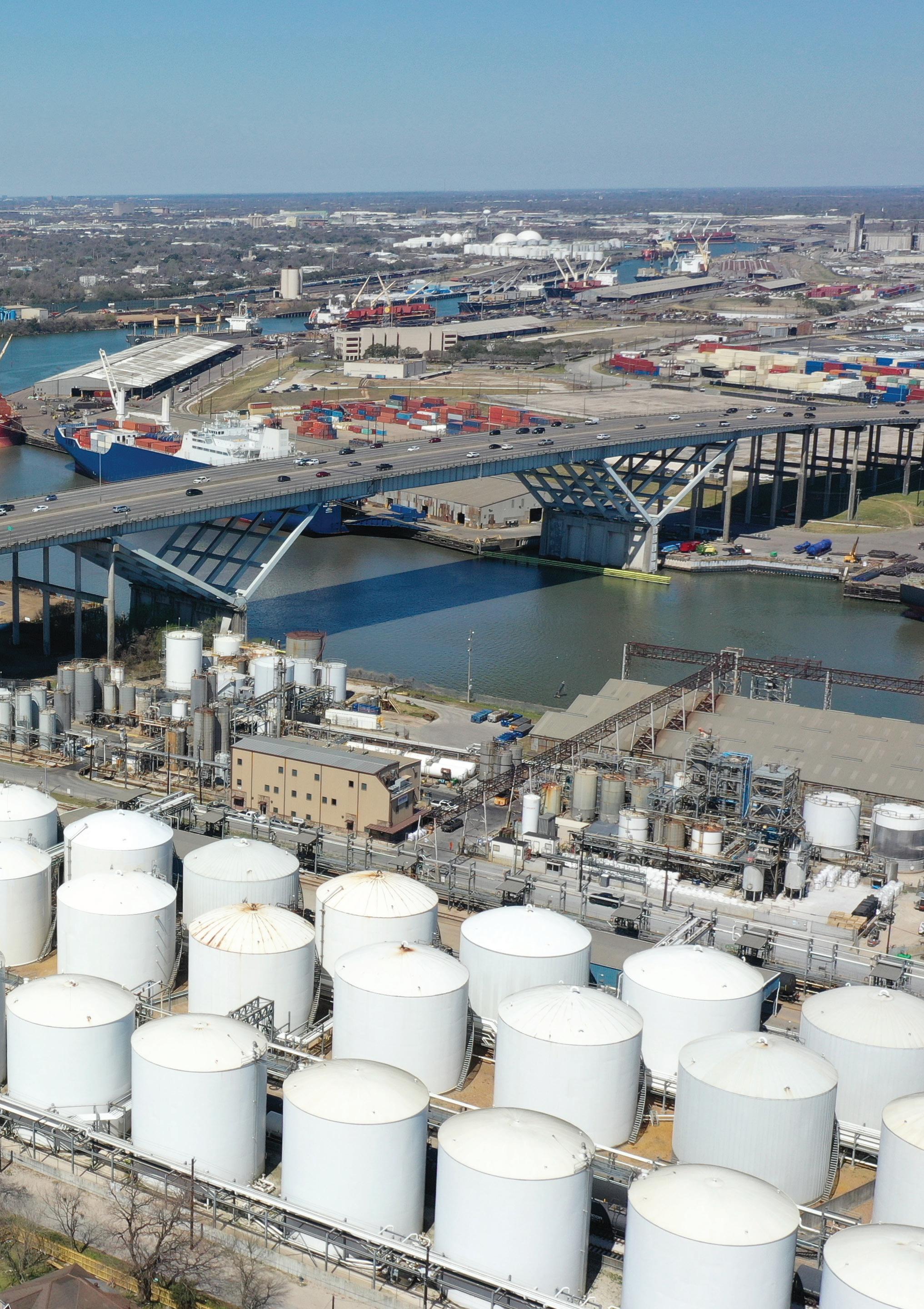
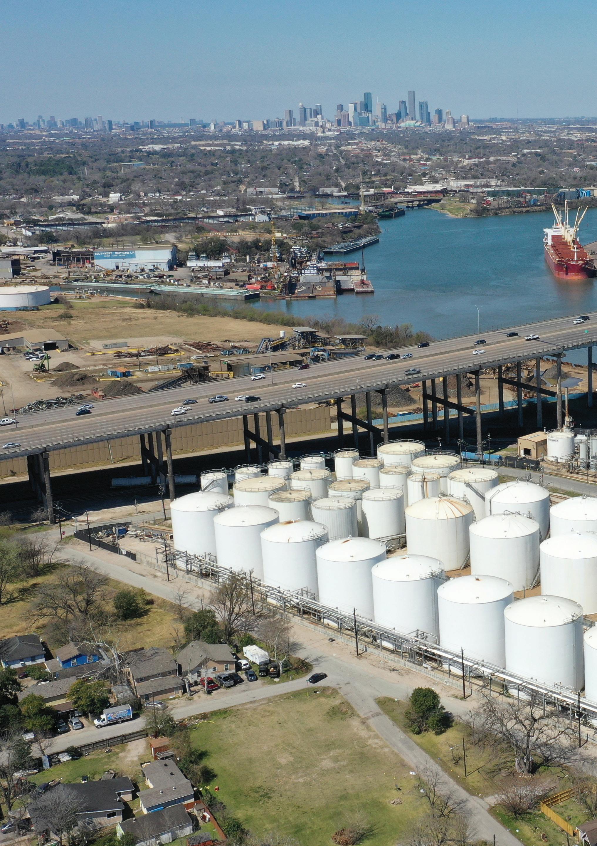 The Houston Ship Channel at the Sidney Sherman I-610 Bridge, Harrisburg-Manchester.
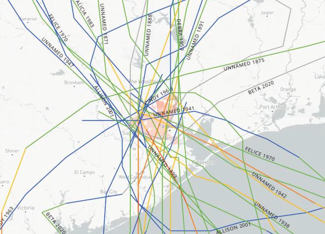
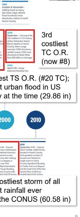
Houston is one of the US cities most impacted by the climate crisis. In the 2010s, a number of onethousand-year storms hit the area, including the Tax Day Floods and Hurricane Harvey. Harvey unleashed up to fifty inches of rain on the city, and the Harvey-related costs attributed to the climate crisis are estimated to be as much as $67 billion USD. In 2021, Winter Storm Uri resulted in the collapse of the energy system. And while 2008’s Hurricane Ike had limited impacts on Houston proper, sea level rise and increased
Climate Action Plan sets ambitious goals in four focus areas: transportation, the energy transition, building optimization, and materials management.1 Resilient Houston, a resilience strategy initiated after Hurricane Harvey, looks holistically at the various shocks and stresses that can befall the city and formulates its vision in five themes: “a healthy place to live, an equitable, inclusive, and affordable city, a leader in climate adaptation, a city that grows up, not out,” and “a transformative economy that builds forward.”2 The strategy was supported by a large donation from Shell Oil. Houston’s business community, through the Greater Houston Partnership, has developed more plans to help Houston adapt to the climate crisis. Its Regional Energy Transition Initiative (HETI) from 2021, for instance, proposes to invest in “carbon capture, use and storage (CCUS), hydrogen production and application, the circular economy (specifically plastics recycling), and energy storage solutions” and uses as an example ExxonMobil’s proposal for a $100 billion carbon-capture innovation zone along the Ship Channel.3
storm intensity have increased the risk to such an extent that the US Army Corps of Engineers is preparing a $34 billion Texas Coastal Project to protect the region.
Houston effectively represents both the impacts and causes of the climate crisis. The Ship Channel is home to the largest petrochemical industrial complex in the world. It is a city whose growth and urban form have been driven by the car and the air conditioner. The size of Houston’s fossil-fuel-generated wealth, its highways, and its monuments are testament to what we now see as the hubris of the twentieth-century city, with the climate crisis coming back to bite it.
To thrive in the twenty-first century, with climate change rapidly accelerating, the city will need to lead decarbonization efforts, build resilience, and rebalance its urban and natural systems.
In order to facilitate that process, Houston has made some ambitious plans. Its 2020
Such a proposal could be funded, in part, through private investment and, in part, through the federal government, which has allocated significant funding for carbon capture and removal in the 2021 Infrastructure Investment and Jobs Act. Critics, however, say the proposal is part of Big Oil’s tactics to delay the energy transition because it would allow the continued use of fossil fuels. Such massive projects are filled with uncertainty and take a long time to realize while locking in continued investment in fossil fuels, making the rapid drawdown of their use, as demanded by science and international agreements, much more challenging.
Other scenarios for the energy transition suggest that government subsidies are best directed away from what these same critics call historically unreliable corporations and toward more decentralized and local initiatives for renewable energy production and reduced energy use, such as rooftop or community solar, home weatherization and batteries, and changes in transportation and manufacturing. When combined with the significant deployment of solar and wind, such scenarios would suggest more rapid and drastic changes to the industry in the Ship Channel than are currently envisioned by the petrochemical industry itself.
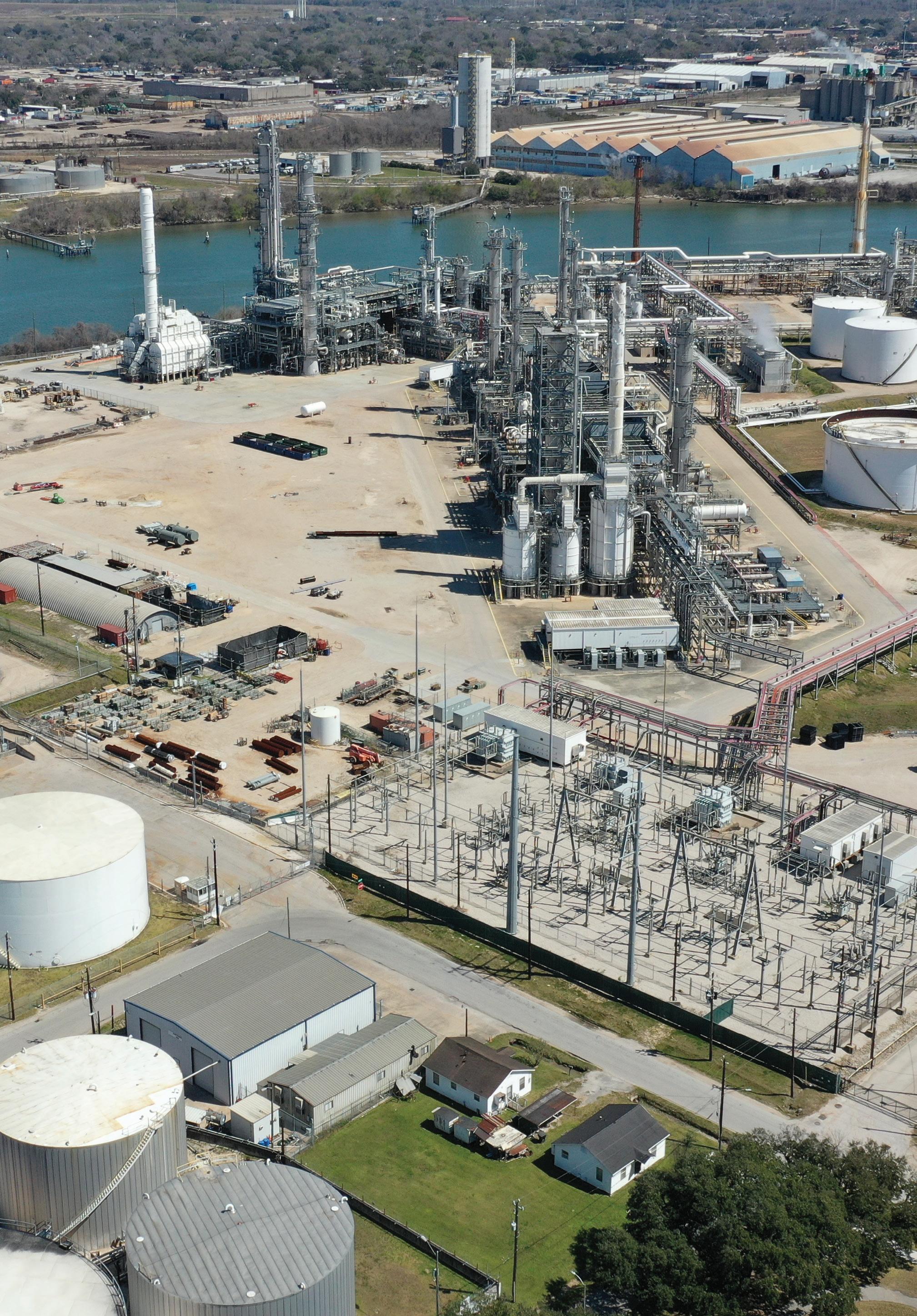 Manchester’s Valero Refinery surrounds a residential community.
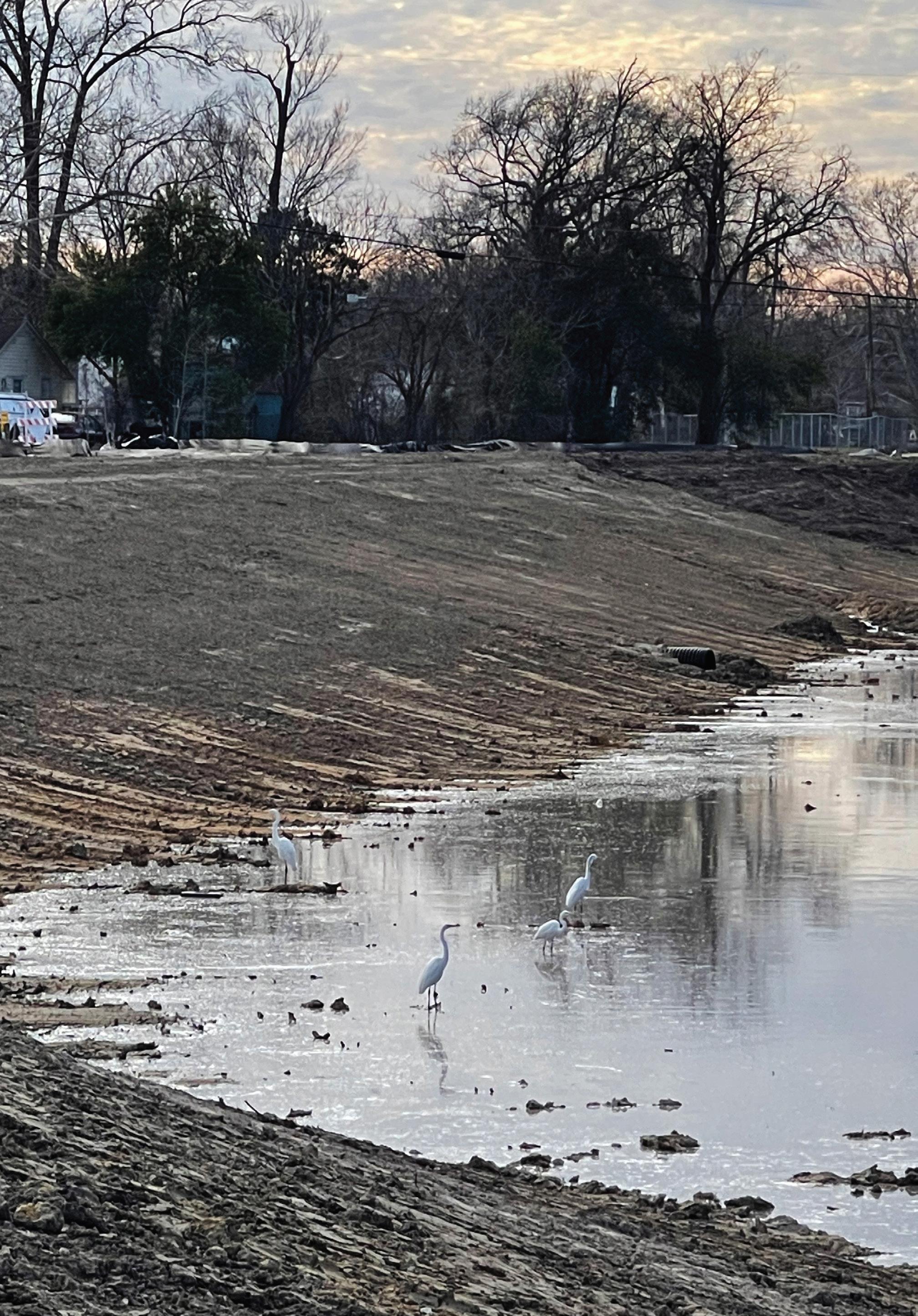 Wildlife returns as Hunting Bayou is renaturalized.
While we do not know how the energy transition will play out in the Ship Channel, we do know that the spatial impacts will be significant. The chemical giant Lyondell Basell’s announcement that its seven-hundred-acre Houston refinery would be shut down in 2023 seems a likely precursor to many land use changes to come.4 Such sites can be reused for clean energy or for functions that are ill-suited elsewhere. The drawdown of contaminating industries will also
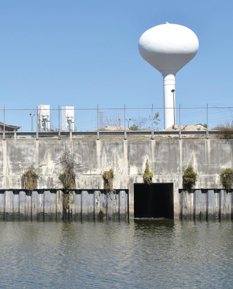
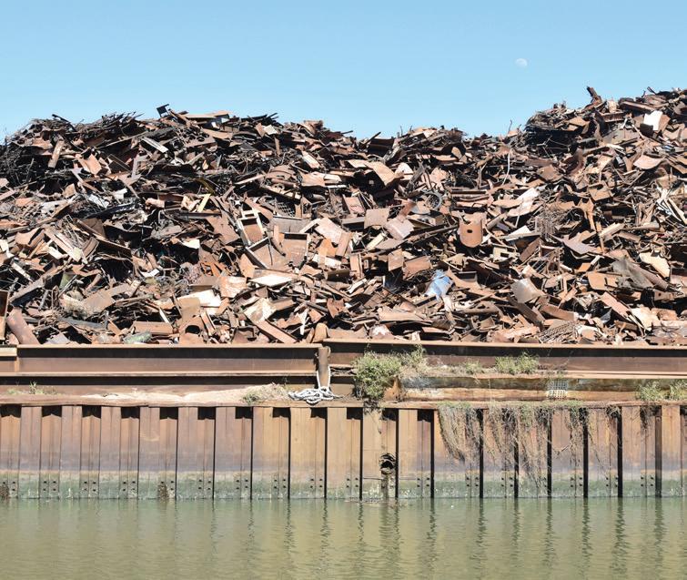
help the frontline communities, many of whom have been negatively impacted by industrial pollution affecting their soil, water, and air quality. The energy transition brings significant opportunities to these historically marginalized communities. Land use changes in the Ship Channel area can enable its isolated neighborhoods to better connect with one another, pursue economic opportunities, and adapt to climate change. Nature-based solutions to protect from floods and store water can be combined with recreational amenities and ecological restoration to increase biodiversity. Because they can capture carbon, these efforts would support the Port of Houston’s goal, as stated in April 2022, to be carbon neutral by 2050.5 And, in a more decentralized energy transition scenario, significant local investments, such as the Sunnyside Solar Project, might make the Ship Channel’s communities more livable and resilient while creating local jobs.
The studio Houston: Extreme Weather, Environmental Justice, Energy Transition was organized to help understand these changes and, by extension, the intersections between the three drivers of extreme weather, environmental justice and the energy transition. But its main aim is to explore desirable futures. As the studio brief formulates, architecture, landscape architecture, and planning students (most with a specialization in urban design) worked from “the hypothesis that these three drivers can result in a wholesale reconfiguration of the Ship Channel area, where sites left empty by the drawdown of fossil-fuel industries can be reimagined as sites for clean energy, logistics and natural systems. This process creates the opportunity for the communities near the downtown end of the channel to reconnect, remediate and regenerate.” The Dutch political scientist Maarten Hajer used his inaugural lecture as Distinguished Professor of Urban Futures at Utrecht University to describe the idea of “techniques of futuring,” which he defines as “practices bringing together actors around one or more imagined futures and through which actors come to share particular orientations for action.” Design is one such practice. Design helps us make the interdependencies within complex systems concrete by positioning its components in territory, space, and time, thus ground-truthing developments, claims, and ideas. It helps show where different ways of tackling problems can be optimized and integrated into widely beneficial solutions and inclusive visions. And through all that, because of its ability to visualize and make things concrete, it becomes a tool for social sharing, helping stakeholders understand issues and positions, and build the coalitions necessary for a way forward.
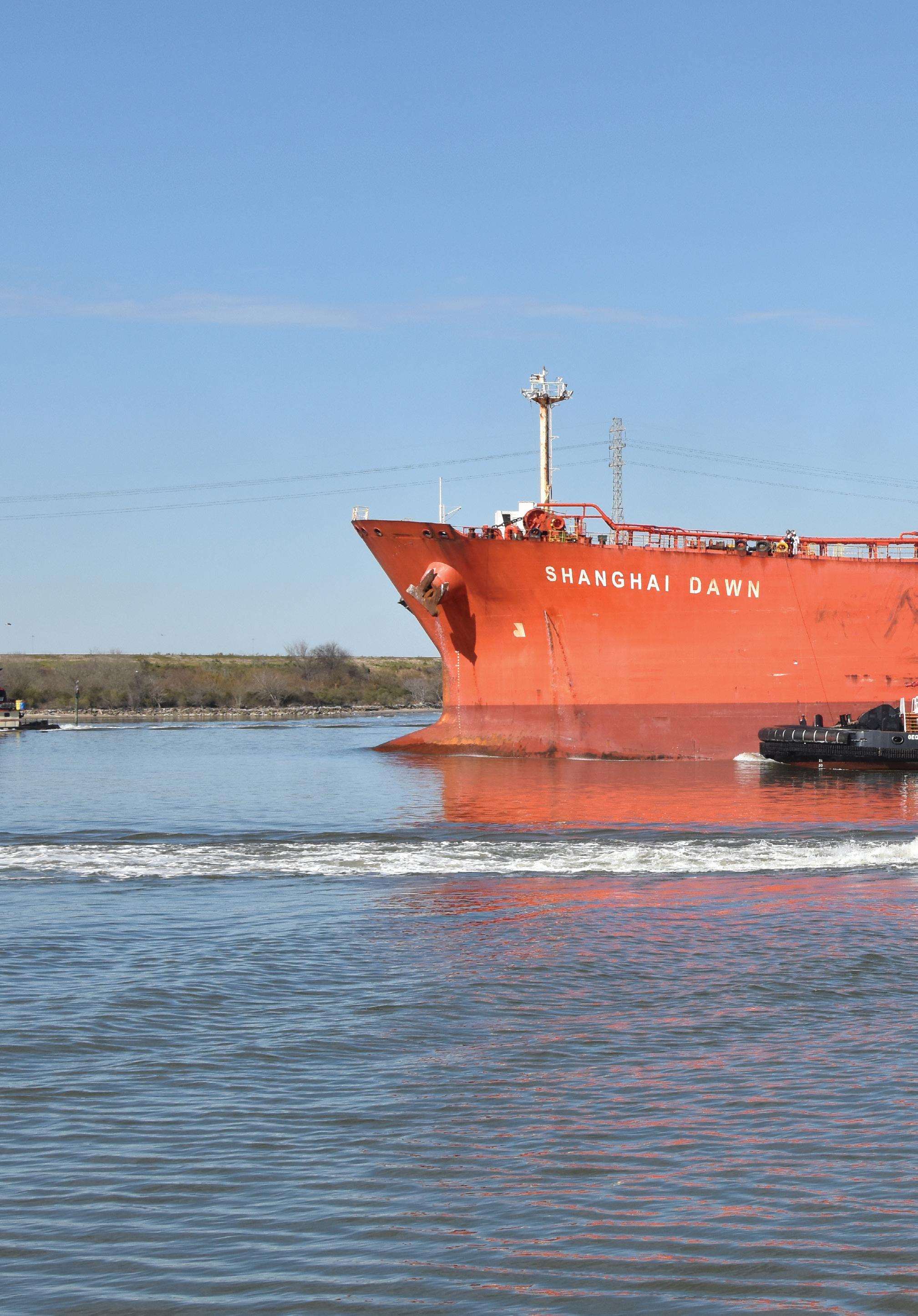 The Houston Ship Channel is the busiest waterway in the United States.
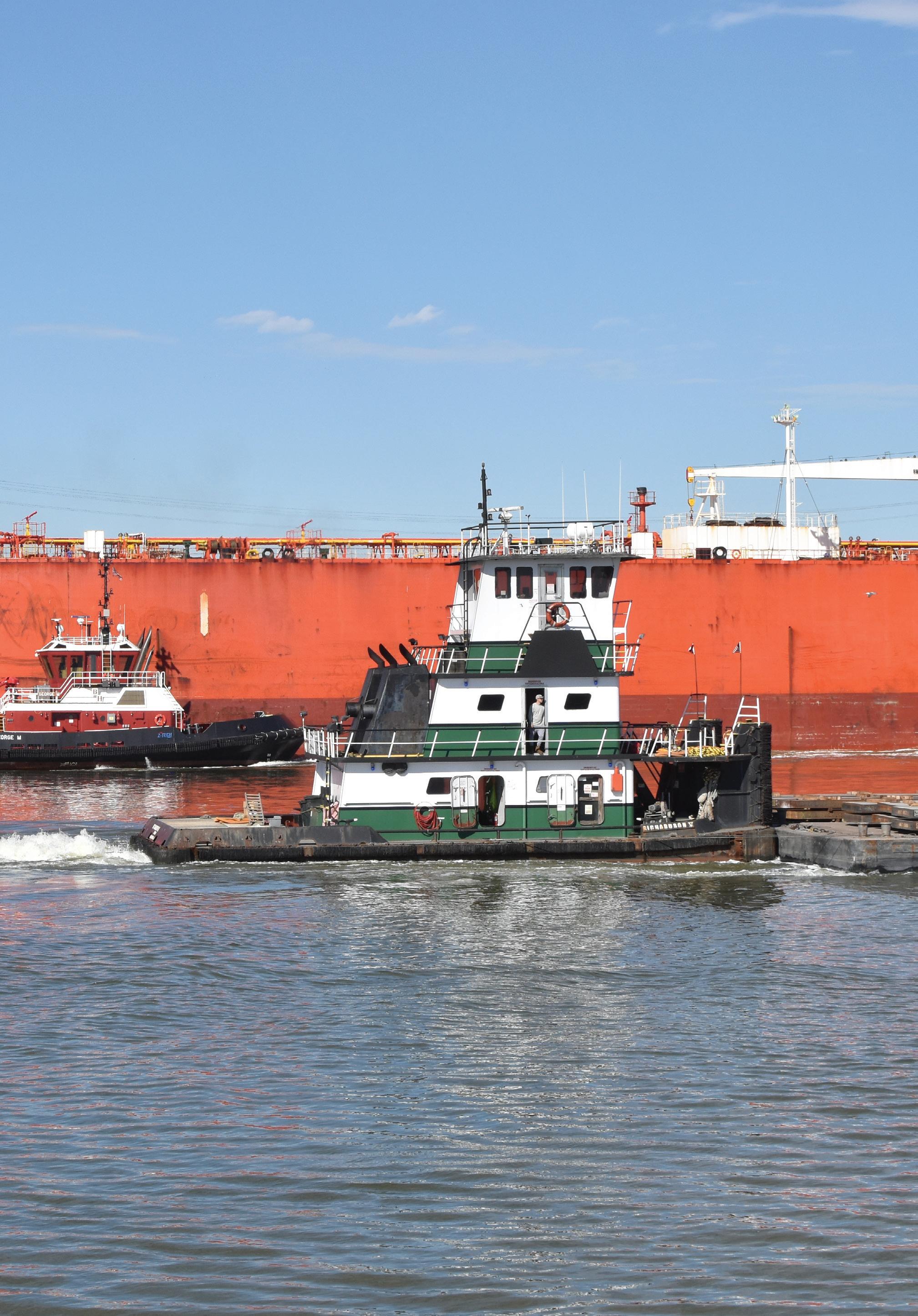
In this book, we share the results of the Houston studio. As the reader will appreciate, many of the considerations above have shaped the studio’s format and final outcomes.
It began with group-wide, collaborative research in which multi-disciplinary teams worked on a range of topics (Place, Environment, Economy and Capacity), capped off with a two-week “research by design” phase that used scenarios to jump-start the design process.
The future of the Ship Channel area is uncertain and exciting. As a global hub for energy, Houston’s transition will be driven by factors playing out at a worldwide scale. At the same time, because of this connectedness, innovations in Houston’s energy ecosystem can teach and inspire others, in turn driving up the speed of the transition globally. The ability to reduce emissions on this global scale will, in turn, impact the tempo and scale of the necessary adaptation to extreme weather events and other impacts of global warming. Houston’s success will therefore benefit both the world and the city itself. Playing out these uncertainties and interdependencies through a series of “what if” exercises in the studio allowed the students to appreciate the factor of time in their work.
Given the urgency of the climate crisis, the seemingly binary choice between an energy transition driven by big business or by local actors is overly limiting. A look at recently-passed federal acts show that the kitchen sink is being thrown at the problem. By refusing to follow just one path, we have been able to hold inclusive conversations with guests from government, business, and local communities that joined the studio and its reviews. In the process, the studio learned about the site’s history, the relationships between industrial and residential areas, and the opportunities offered by the energy transition. We began to understand the ways that the energy transition can be used to drive a just transition that works against legacies of environmental racism while preparing for a radically changed climate.
The inevitable drawdown of fossil fuel infrastructure and the accompanying changes in land use and infrastructure can allow for large-scale environmental restoration, including the use of nature-based solutions for remediation and flood control. While analyzing the geological, hydrological, and ecological history of the area and learning about different ways to “build with nature,” students began to envision ways to rebalance the built and natural environments by incorporating natural infrastructure at all scales.
The focus on communities and localized strategies for adaptation and mitigation put another issue forward. While a long-term vision for a post-fossil-fuel Houston is important, it is equally critical to develop ideas about what to do in the near future. This is not only because Houston is still vulnerable to climate shocks and stresses; it is also because change in the neighborhood—and the city—needs to be tangible and address ongoing community concerns in order to build trust and capacity for large-scale, long-term transformation. For this reason, the studio developed projects, in addition to a series of initial “what if” scenarios, that propose nearand medium-term steps as well as a theory and program of long-term change.
Working at various scales and timescales simultaneously while grappling with gray, green, and blue techniques, social and physical systems, and a keen understanding of uncertainty is difficult. That is why teamwork has been so critical to this studio. It is not just to cover the broad scope of knowledge necessary, but also to make use of the disciplinary diversity within the group of students. Navigating the complex and messy problems of this world requires new pedagogies and new attitudes from designers: we need to be more collaborative, more focused on the process and the conversation than on the siloed product. In this studio, the open environment produced a series of visions that helped spur productive conversations about what a thriving, resilient, sustainable and just Houston can look like in the future. We hope these vital conversations will continue beyond the studio, its guests, and its community partners.
1. Houston Climate Action Plan. 2020. Houston, TX: City of Houston.
2. Resilient Houston. 2020. Houston, TX: City of Houston Mayor’s Office.
3. Perspective on the Energy Transition Capital of the World: Houston’s Opportunity to Win by Catalyzing Capital Formation. 2022. Houston, TX: Houston Energy Transition Initiative, Greater Houston Partnership.
4. LyondellBasell Announces Plans to Exit Refining Business. 2022. LyondellBasell. April 21, 2022. https://www.lyondellbasell.com/en/news-events/ corporate--financial-news/lyondellbasell-announces-plans-to-exit-refining-business/.
5. Port Houston Commits to Carbon Neutrality by 2050. Port Houston. April 4, 2022. https:// www.porthouston.com/news-media-press/ press-releases/.
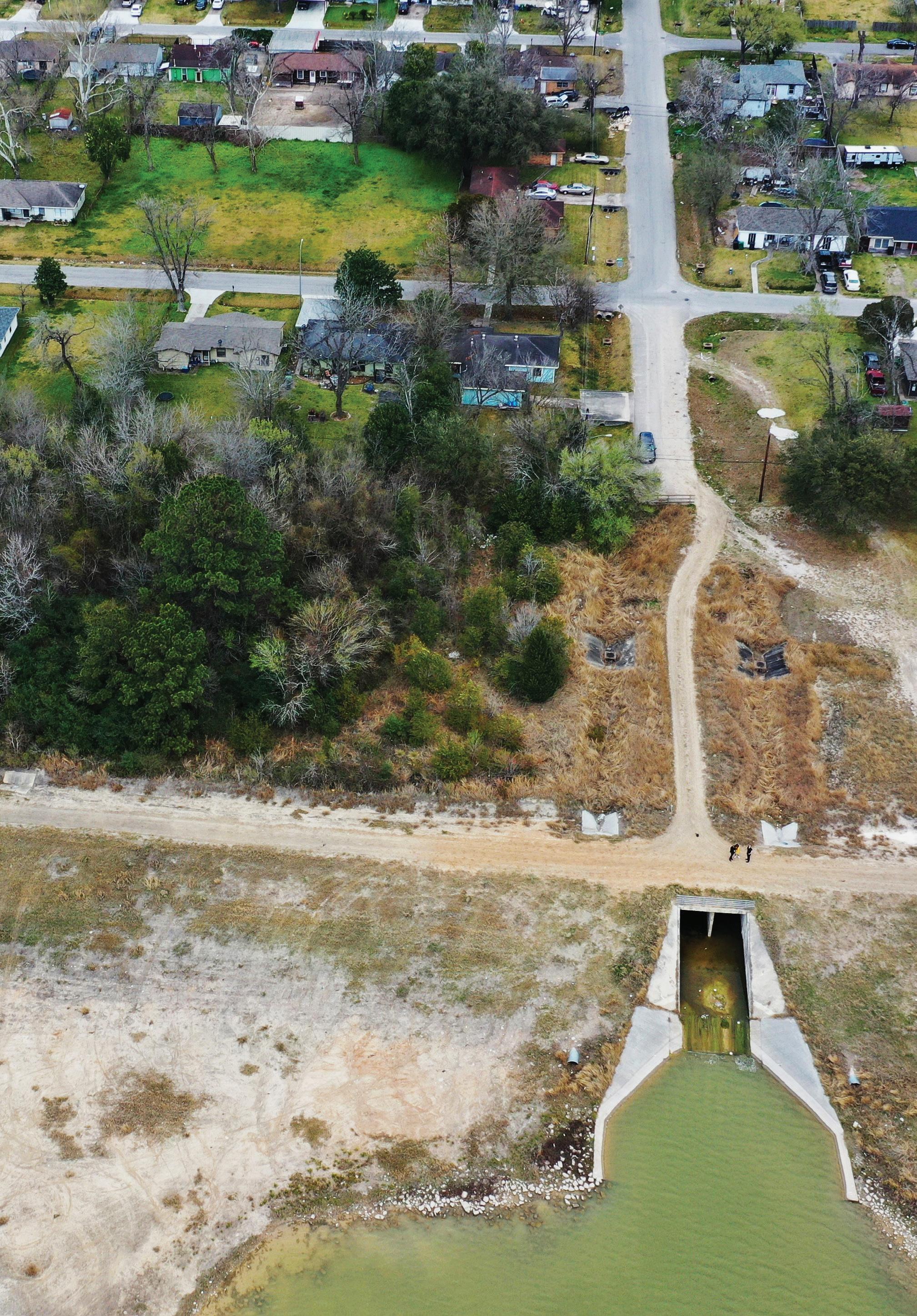 Detention ponds and rainwater infrastructure in Kashmere Gardens.
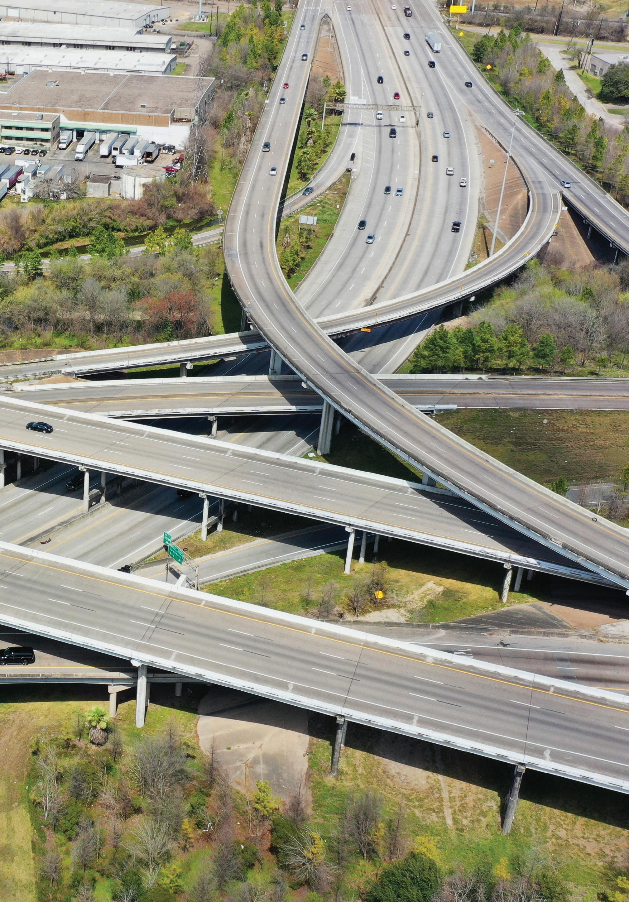
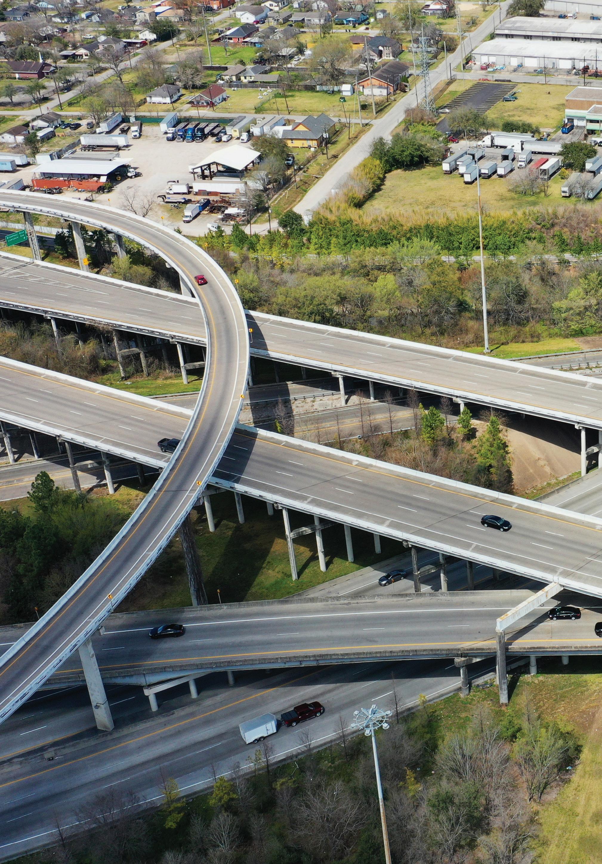 Loop 610 and La Porte Freeway interchange.
“Mama and daddy, let’s go! We’re gonna run late and we won’t make it to the market or Zydeco Fest 2040!” said Alicía.
“Alrighty, darling, I’m moving faster! Malcolm, after Alicía’s swim lesson, I have a board meeting. We’ll see you at the market with James and Camila?” asked Lupita.
“Yes, my love—I’m done with classes at the Power House at 2 p.m. I’ll take the train to the market with Alicía’s favorite auntie and uncle, Camila and James. Plus, you know Uncle Larry’s band is playing today. He’s reminded me so many times, you’d think they’re reincarnating the Chenier Brothers and all the other zydeco greats!” replied Malcolm.
On her way out, Alicía dashed back into the living room, screaming, “Bye, Grandma! I’ll see you at the market today, right?”
She replied, “Of course you will, Suga! Save your grandmama a dance!”
Grandma Adélaïde was no stranger to the complexity of being Houstonian. From the creativity and ingenuity born of the fusion of cultures and ideas to the generational trauma caused by Bayou City storms. Her people had migrated to Houston from Louisiana in 1927 after the Great Mississippi River flood. Like many Creole families, they settled in Frenchtown, one of the few places they could live in segregated Houston. Her childhood was filled with stories about the migration and the community’s resiliency in building their own joyful and communal spaces like Our Mother of Mercy Catholic Church. Even so, the storms would play a major role in how they understood themselves. She heard stories about Hurricane Carla from her parents; lived through Alicia, Allison, and Rita; and raised children during Ike, Harvey, and the worst of them all—Ernesto, the great storm of 2024.
The way Grandma Adélaïde told it to Alicía, after Hurricane Harvey in 2017, Houston was in shock from the devastation, but nothing could prepare them for what was to come. Promises were made about this time being different, but the city wasn’t ready when a thousand-year storm hit. It was a combination of a rain and coastal storm more destructive than Harvey. Lives were lost and forever changed as the bayous overflowed and found space wherever they could, destroying entire neighborhoods. The biggest industries—
Their goal was to have the city’s policies and actions treat flooding and other natural disasters as public concerns as opposed to individual burdens that only the wealthy had the resources to weather. Camila was part of an organizing collective that grew from West Street Recovery, a disaster recovery nonprofit formed during Harvey. It was comprised of several neighborhoods: Fifth Ward, Kashmere Gardens, and Manchester, among others. They preferred a futurist methodology—a mix of protests, com-
shipping and petrochemicals—were brought to a standstill. Ernesto surged up the Ship Channel, destroyed infrastructure, and spread harmful chemicals throughout Houston. Very little made sense in the aftermath, but one thing was clear: Bayou City had no choice but for things to be different this time.
In 2022, America’s first big climate bill passed, the Inflation Reduction Act. Houston would become the catalyst for national transformations in environmental justice models and the renewable energy and resilience technologies teed up by the bill. Alicía’s family had been part of it—protesting after the storm, organizing their communities for seats at the rebuilding table, and leading innovation and implementation of bold solutions.
Alicía’s Auntie Camila cut her teeth organizing low-income and Black and Brown communities after Ernesto to ensure resiliency and adaptation efforts centered their needs.
munity meetings, storytelling, and games. The collective created The Houston Energy Games to facilitate community-based articulation of the fossil-fuel-free and sustainable futures they imagined for themselves. But they knew imagining was just the beginning. Their organizing values included truth, reconciliation, and accountability between marginalized communities and powerful entities whose activities played a major role in climate change.
The Manchester neighborhood was the collective’s first major victory. It was so contaminated after Ernesto that the EPA declared it as a Superfund site. The entire community was relocated to Fifth Ward as agencies undertook clean-up and regenerative processes to mimic nature’s own energy and material sources—from urban forests to solar energy. The collective worked with relocated residents to outline their demands and envision a just rebuilding process and outcome. They also negotiated reparations

 Local pride runs strong in Houston.
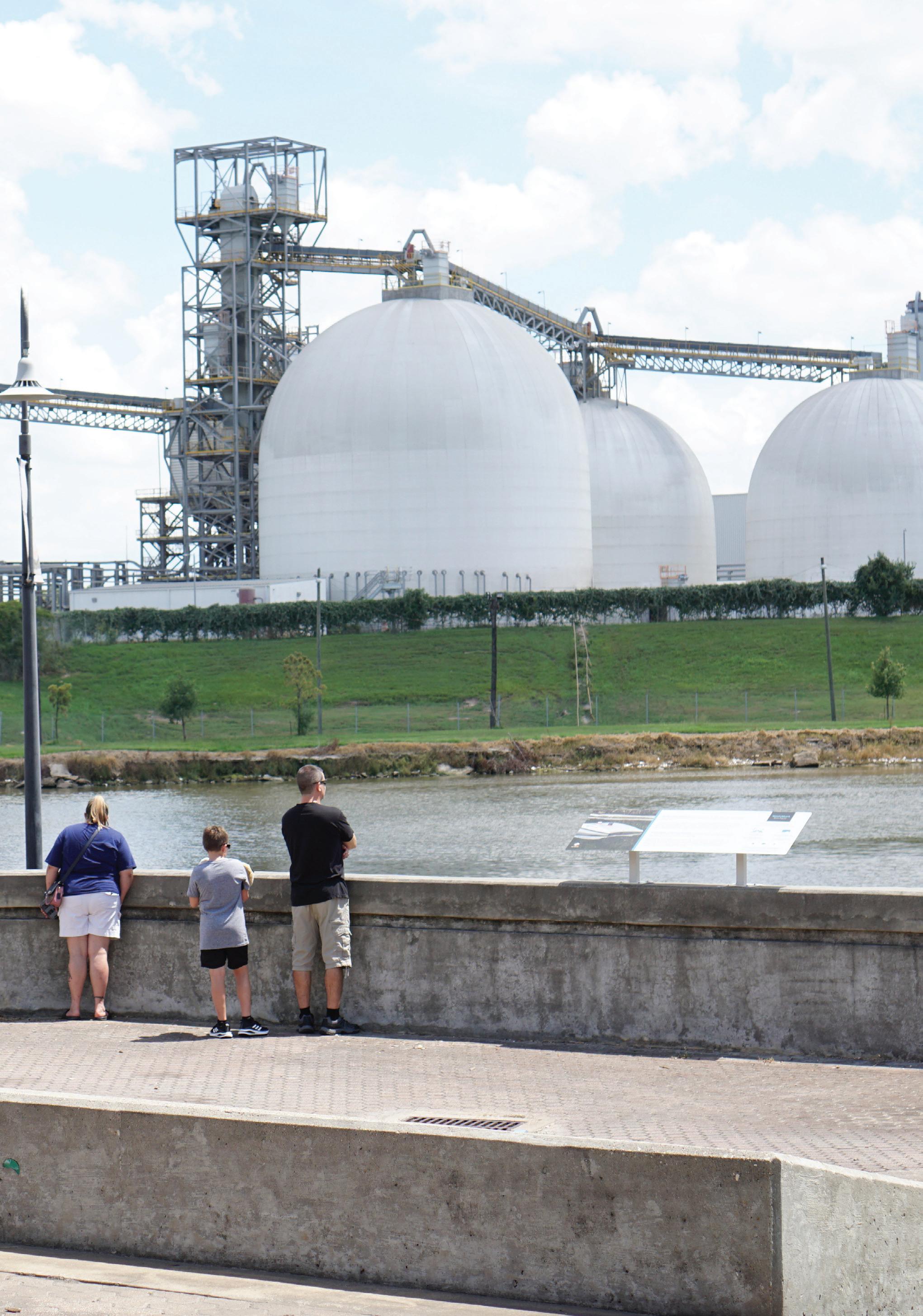
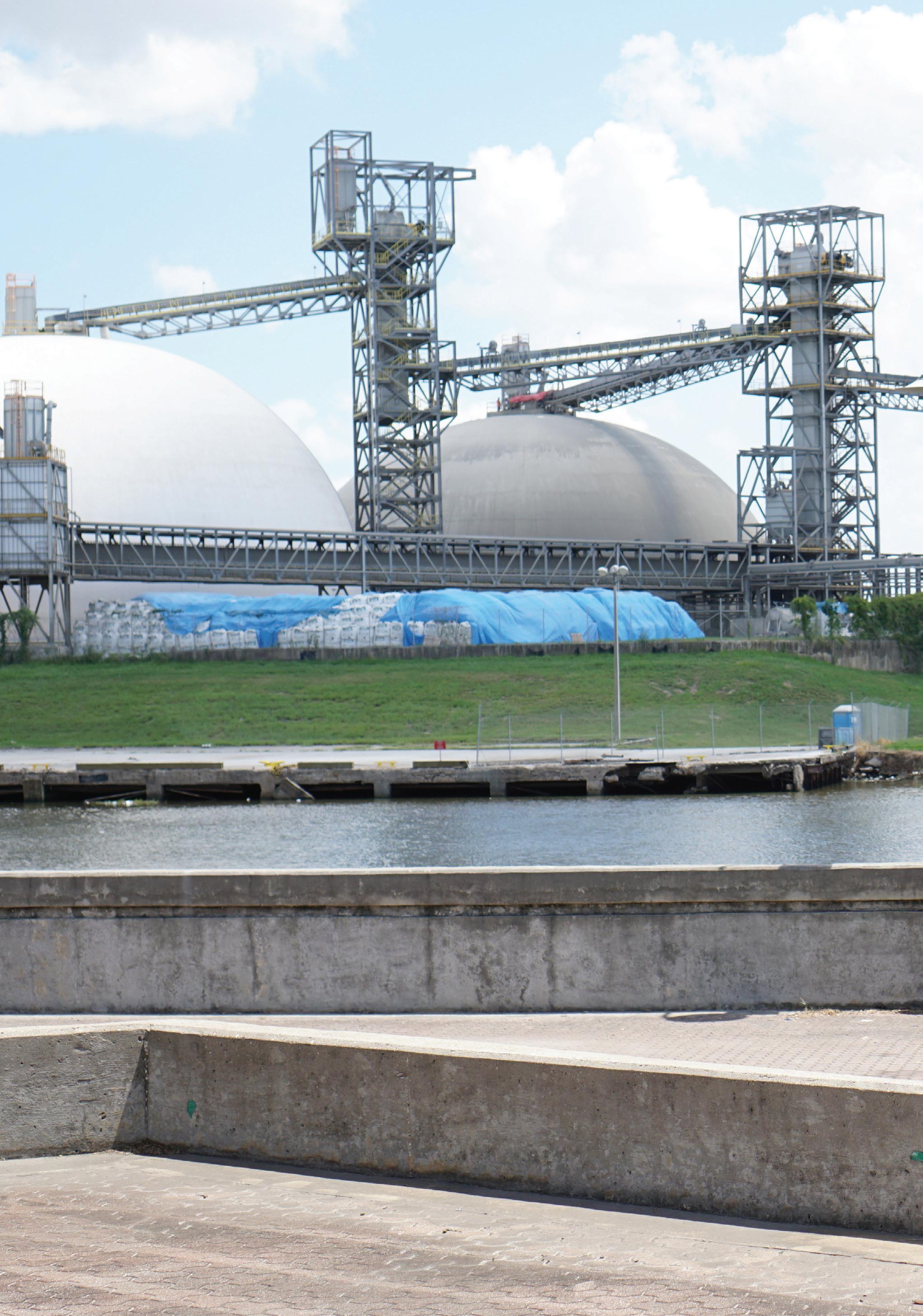 A family takes a tour down the Ship Channel.
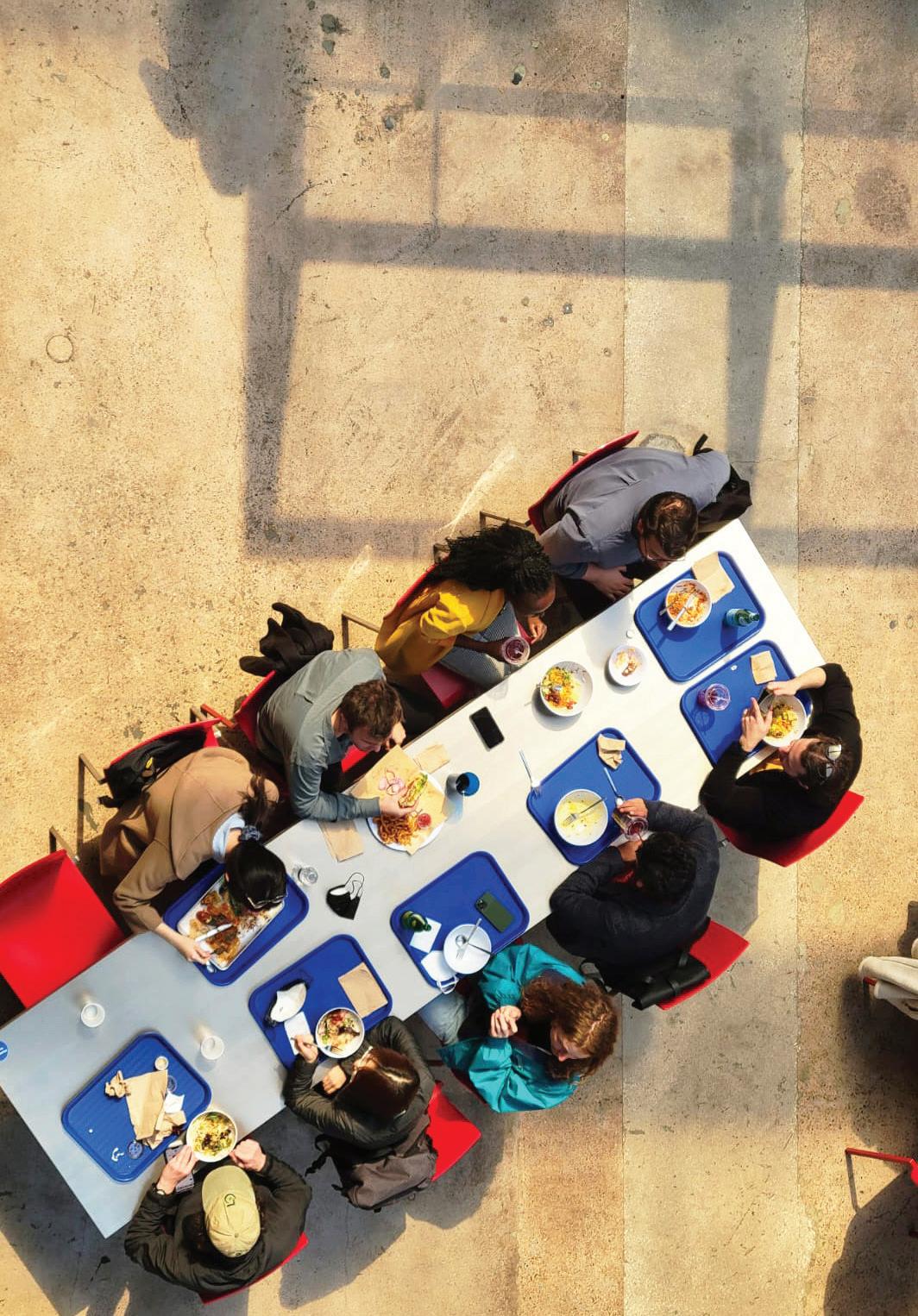 Lunch at POST Houston.
funded by the government and companies whose operations intensified the contamination. It became a model for communities harmed by the convergence of extreme weather, highly polluting industries, and climate change.
As a city resilience and adaptation officer, Lupita was at the forefront of these transformational models. She started college in the aftermath of Ernesto and went to protests and organizing meetings with her older sister, Camila. She often wondered how to make the visions and demands she heard from community members real. Lupita knew the costs would be out of reach for the city. So she got her degree in finance, focusing on resiliency and redistributive models.
She interned with the city’s Resilience by Design program. Their mandate was to meld innovative planning and finance tools with regenerative and restorative design practices. Her biggest contribution was designing the redistributive finance and governance tools, including reparations for direct harm like the cancer clusters in Fifth Ward and Manchester. She also helped develop newer tools like environmental, resilience, and social-impact bonds. Communities would have a stake in resilience and adaptation investments and receive dividends if they were successful in mitigating flooding and reducing contamination, thereby reducing recovery and insurance costs for the city. A local committee managed the proceeds from these investments in the equivalent of a neighborhood sovereign wealth fund housed at the post office bank. Years later, Lupita became a board member for her neighborhood’s fund— that of Kashmere Gardens, redesigned after it was overwhelmed by Harvey and devastated by Ernesto. New design features included elevated blocks and homes, small detention ponds, and green buffers and other nature-based methods of cleaning contaminated water. The most beautiful part was the rewilded park near Alicía’s school, Kashmere Gardens Fine Arts Magnet Elementary. She and her friends spent hours there during class and recess!
Alicía’s father, Malcolm, was a biomass technician. His field assignment was the Kashmere Gardens micro-grid, which provided power to their neighborhood. He was especially affected by the 2021 Texas Freeze, when nearly 250 people died; his own family struggled without heat and water for days. He was proud to be a small part of the reason Houston had not suffered a power crisis since. But his dream job was to become a transmission line engineer. The second iteration of the climate bill passed in
2025, focused on funding upgrades and catalyzing the innovation needed in the transmission network, so jobs in the sector were booming. Since Malcolm was Alicía’s primary caregiver, he worked part-time and took classes on weekends at Houston’s central biomass plant, the Power House in Manchester. That next step in his career would have to wait until Alicía was a little older. Until then, he relished the memories he got to make with his daughter in an H-town that was remaking itself, bit by bit.
James was a transplant from San Francisco with a passion for nature. After college, he moved to Houston in 2024 to work for a petrochemical company. James was drawn to the protests and would sometimes attend those near his office downtown. Camila noticed him and invited him to an organizing meeting to see where the real work happened. Having grown up in the Bay Area, he was no stranger to natural disasters made worse by human indecision. He watched as officials in communities ravaged by wildfires finally heeded the fire-management practices of Native communities who had been there for thousands of years. James wondered what working with nature might look like in Houston. He switched careers, becoming a designer focused on embracing Bayou City’s natural inclination for water.
Adélaïde, Malcolm, Lupita, Camila, and James knew better than to miss the monthly farmers’ market and zydeco concert at the Green House in Fifth Ward. It was home to the city’s largest plant nursery and a beautiful plaza for the festivities. For Malcolm and Lupita, it was one of the precious moments that threaded their Houston childhood with that of their daughter. For Adélaïde, it was a symbol of a promise finally kept after the traumatic storms she’d lived through. For Camila and James, it was a reason to keep building and fighting for the worlds they imagined.
It wasn’t lost on any of them that raising their families in Houston was a miracle made real in no small part by the collective power of Houstonians. They were grateful for it. Like so many others, their little girl, Alicía Adélaïde Francois, inherited the legacy of the Bayou City that learned to embrace and honor its waters. The storms didn’t stop coming, but Houston was readier than ever.

The studio began with a series of lectures by experts in hydrology, environmental pollution, infrastructure, urban design, and data visualization. The lectures initiated the studio’s research on these topics as they related to Houston. The lectures included Antonia Sebastian, Assistant Professor of Geological Sciences at UNCChapel Hill, on Houston’s hydrology; Han Meyer, Professor Emeritus of Urban Design at TU Delft, on delta urbanism; Danielle Getsinger, co-founder and CEO of Community Lattice, on overcoming barriers to community revitalization through data science; Rod McCrary, Tony Loyd, and Chris Levitz of AECOM Houston, on the Port of Houston’s infrastructure and resiliency. Additional lectures were delivered by studio instructor Matthijs Bouw on “Hackable Cities” and by data visualization designers Daniel Gross and Joris Maltha of Netherlands-based Catalogtree.
Antonia Sebastian
Antonia Sebastian is an Assistant Professor at UNC-Chapel Hill in the Department of Earth, Marine and Environmental Sciences. She has a Ph.D. in Civil and Environmental Engineering from Rice University and was a Netherlands American Foundation (NAF)/Fulbright Flood Management fellow at TU Delft. She has been studying Houston and flooding for over ten years.
An expert in Houston hydrology, Antonia Sebastian started off the lecture series by focusing on the ways that Houston’s urban form, hydrology, and historical development patterns have contributed to flood disasters since the city’s inception. Sebastian began by outlining Houston’s geographical context and hydrology. Located on Galveston Bay along Buffalo Bayou and its watershed, Houston sits on a flat coastal plain. There are twenty-one bayous (and their watersheds) that intersect the current boundaries of the city. Additionally, over the last one hundred years of settlement, large amounts of water and oil have been extracted from the ground beneath the city, causing increasingly severe subsidence in portions of the city. According to Sebastian, while Houston does see intense rainfall (primarily during the
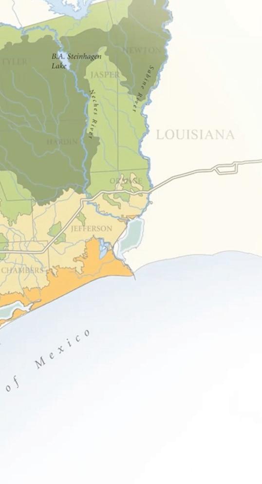
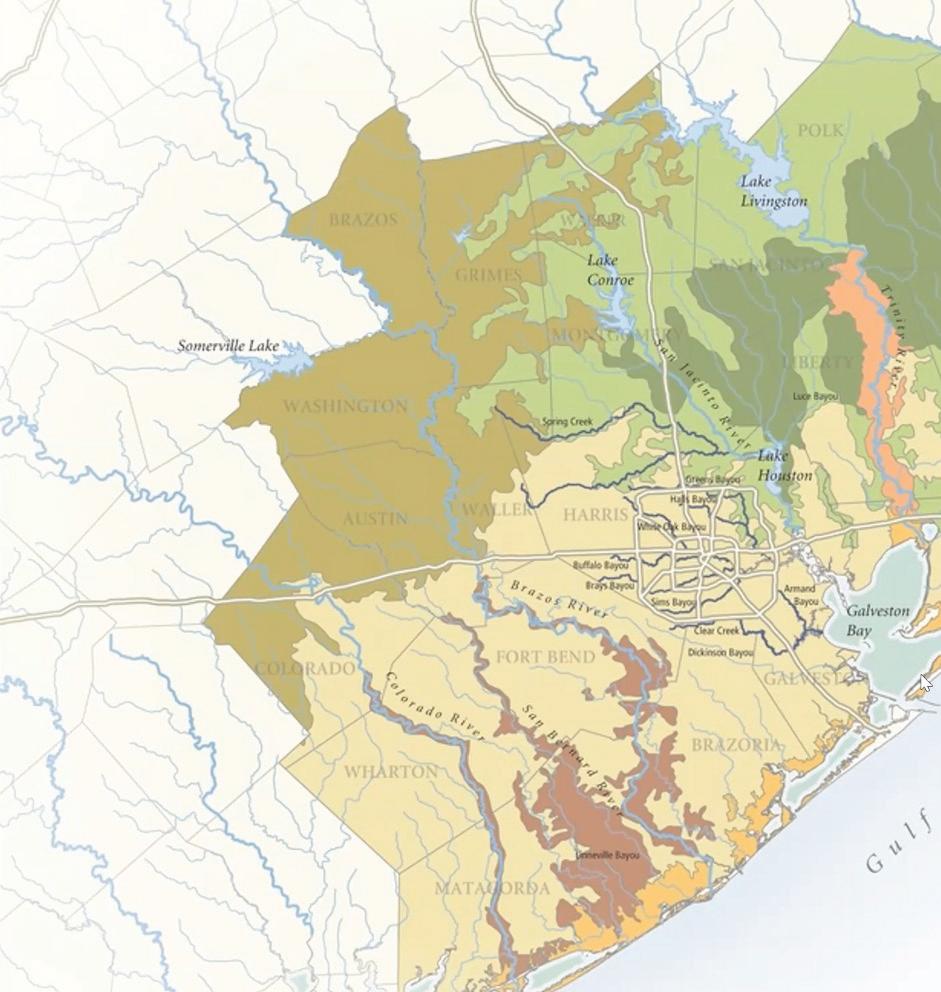
spring and throughout the hurricane season) and the area does have a geological history of flooding, it is land subsidence, urban development, botched flood management, and climate change that have turned these events into disasters. As Sebastian states, “flood disasters are created by
Houston to become a major metropolis.
Sebastian next reminded us that this growth would not have been possible without widespread flood mitigation projects. In response to repeat major flood events in 1930, 1932, and 1935, the Addicks and Barker reservoirs were established to the west of the city. In the 1960s, the Texas City levee was constructed and most bayous were channelized (with the exception of Buffalo Bayou). The reservoirs and levee allowed for westward and southern expansion, respectively, while the channelization of the bayou system allowed water to be quickly and efficiently redirected from the city and to the bay to minimize flooding.
human decisions and the placement of people and infrastructure in harm’s way.”
According to Sebastian, the emergence of Houston as a major American cityindeed, the largest in the southern United Statesis tied directly to this history of flooding and recovery. In the early twentieth century, a series of hurricanes hit Galveston, Houston’s neighbor to the southeast, and devastated the city. The “1900 Storm” remains the deadliest natural disaster in US history. Galveston, known at the time as the “Wall Street of the South,” was nearly wiped out. This event, and another major hurricane in 1915, provided inland Houston with the opportunity to emerge as the economic powerhouse and major port of southeastern Texas. However, in order for Buffalo Bayouinitially only three to six feet deepto become navigable, it had to be dredged and widened extensively and connected to the Gulf of Mexico. Today portions of the channel are upwards of fifty feet deep and over three hundred feet wide. The dredging of the Bayou into what would become the Ship Channel and its subsequent emergence as the engine of economic growth for the region have allowed
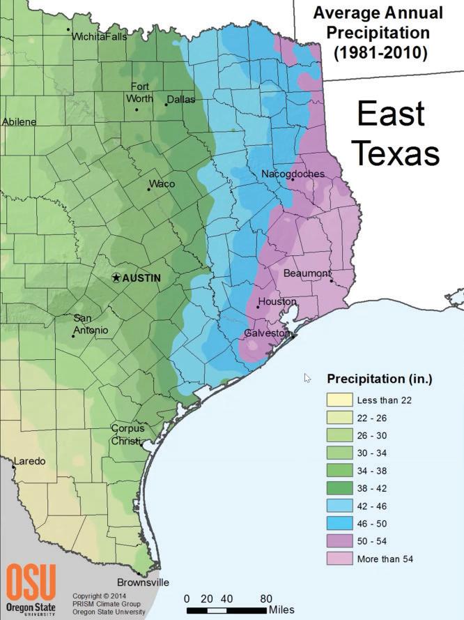
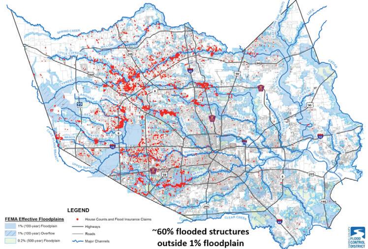
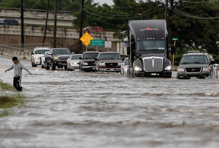
These interventions haven’t been enough, however, as the increase in flooding events over the last twenty years makes clear. Sebastian detailed different types of flooding and how their effects and impacts can differ. Fluvial (riverine) flooding results when the water level in the channel exceeds the elevation of the banks. Pluvial (street) flooding results when overland runoff overwhelms the capacity of the storm sewer network and ponds in the streets. Surge (coastal) flooding results when high wind events push water onshore. Compound flooding is a combination of two or more of those above. Recent storms have caused varying types of flooding: Tropical Storm Allison (2001) caused major fluvial flooding in the Texas Medical Center. Hurricane Ike in 2008 had a large storm surge, while the “Memorial Day flood” of 2015 and the “Tax Day” flood of 2016 were cases of intense pluvial flooding. Hurricane Harvey (2017) caused some of the worst pluvial flooding ever recorded.
Why has storm water discharge increased so dramatically in Houston? Sebastian highlighted three main reasons. First is increased urban runoff due to the nature of Houston’s sprawling development patterns. Second are (failed) historical flood management practices, such as
channelization and reservoir/pond construction, many of which are still considered “best practices” today. The third is climate change, a “threat multiplier” that will continue to worsen over the next century. Ultimately, these urban pattern shifts in Houston have reduced its ability to cope with climate-change-related disasters.
The studio asked Sebastian a number of follow-up questions on the topics presented.
Q: What bayou de-channelization efforts are underway?
A: Currently, projects are underway to de-channelize Brays, Sims, and the Lower WhiteOak Bayou, via the Interstate 45 expansion.
Q: Are there efforts to contain Houston’s sprawl?

A: Unfortunately, no, but onsite retention requirements for developers have increased.
Q: What are the risks for the petrochemical complexes along the Channel?
A: Each tank usually has a levee designed to prevent flooding. Therefore, most facilities can withstand some level of flooding unless the storm hits the Channel directly.
Q: What complications arise with coastal flooding and sea level rise?
A: While existing models that combine the two are limited, sea level rise will likely impede drainage from the bayou system.
Q: What are your thoughts on the Ike Dike?
A: Currently the Ike Dike cost-benefit doesn’t make sense, especially because it leaves major portions of the region at risk and the timeline for construction is too. Much of the vulnerability dynamics in the region could change over this period, and the hazards are also increasing. It will soon become outdated.
Q: Finally, absent political or financial constraints, what would your recommendations be for the City of Houston?
A: The City should adapt structures that are at risk for riverine flooding, avoid building new structures in flood hazard areas, and densify other areas that are not at risk. They should also re-envision where the dense urban centers are presently. Finally, Houston will flood no matter what. Whatever is built should be able to live with water.
Han Meyer is Professor Emeritus of Urban Design at Delft University of Technology (TU Delft), where he taught until 2019. While there, he was the leader of the research program “Delta Urbanism.” Previously, he worked at the Project Organization Urban Renewal of the City of Rotterdam for ten years. He currently conducts research on urban development in delta areas, giving lectures and publishing articles in and outside of the Netherlands.
Han Meyer is a leader in research and design work on the topic of “delta urbanism,” or the relationship between cities, ports, and urbanized river deltas. He spoke to the studio about his role in reimagining the port-city relationship in Rotterdam to cultivate an energy transition that also takes natural systems into account, thereby bringing the health of the regional ecosystem and waterways to the forefront of the process.
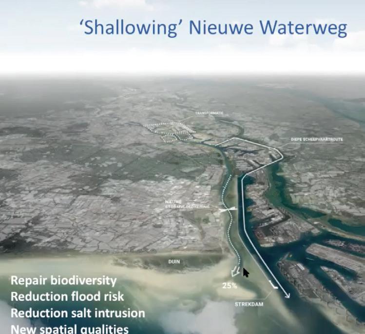
Meyer started by detailing the ways that cities located on deltas and coastal areas, such as Rotterdam and Houston, inhabit emergent and ever-changing landscapes that only first appeared since the retreat of the glaciers around ten thousand years ago. Because of this reality, it is vital to take a holistic approach to understanding ports and cities embedded in delta systems. This approach includes planning for biodiversity, preparing for the energy transition, reducing flood risk, ensuring freshwater supply, and prioritizing spatial quality. He referred to a report from the University of Utrecht that asks: “What does the river itself want?”1
Meyer described the Rotterdam delta region as “an enormous armor of interventions” that have allowed for massive economic growth but have also had adverse ecological
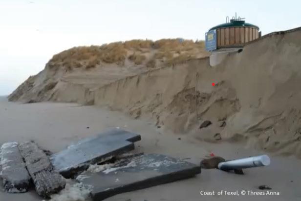
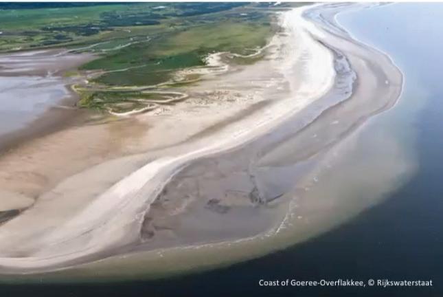
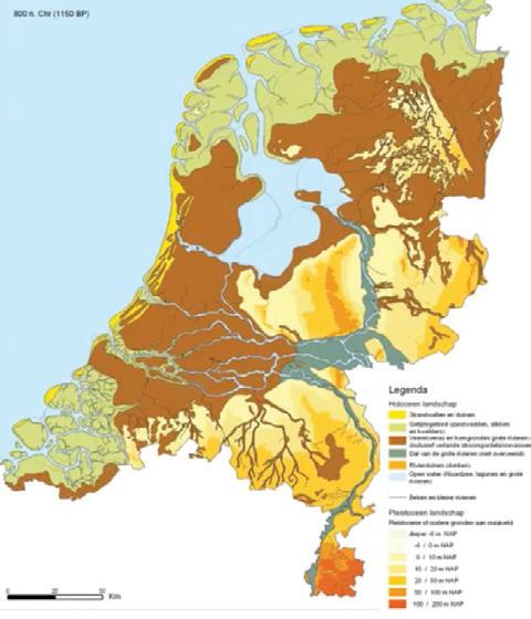
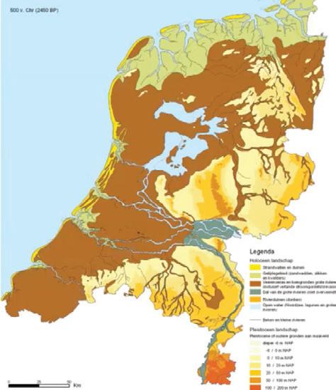
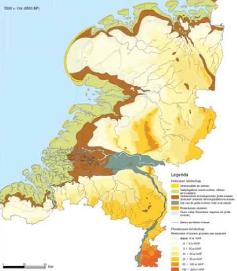

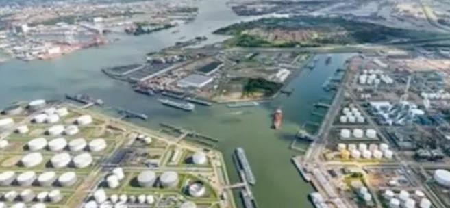


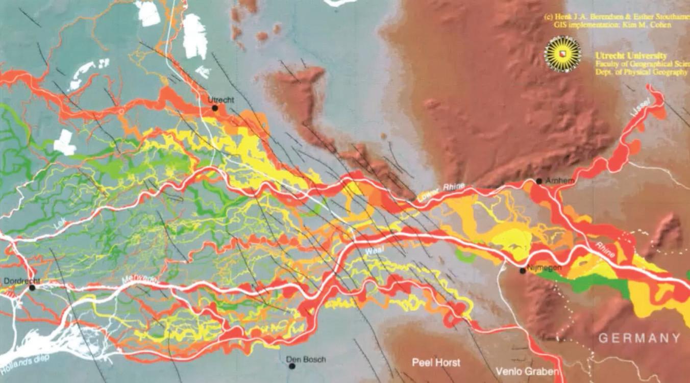
consequences. This process of “machination,” along with a long-term ignorance of the natural hydro-morphological system, has led to a “critical phase in the evolution of the Rhine-Meuse delta” that requires an immediate response.
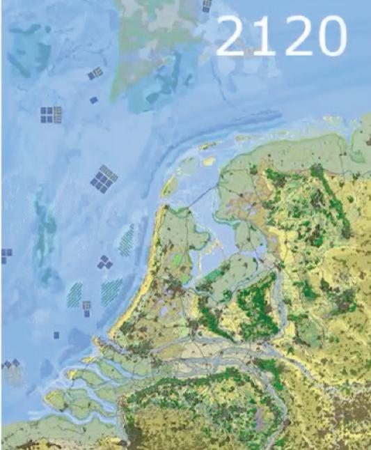
In the face of these challenges, Meyer and his team asked, “what does the river actually want?” Their response was a long-term, naturebased framework that would address the major water issues facing the territory: saline intrusion, flooding, loss of biodiversity, and a lack of a spatial relationship to the water. By shallowing (un-deepening) the channel and reducing outflow to the “New Waterway” (a highly engineered portion of the Rhine completed in the early twentieth century), the need for dredging would decrease, biodiversity could flourish, saline intrusion would diminish, and flooding would be less frequent and intense.
Meyer then noted several cities around the globe, such as Venice, London, Shanghai, and Houston, that are negotiating new relationships with their ports and deltas. He found Houston to be a “fantastic challenge” because nearly eighty percent of its bayous and streams have been lost to human development. He implored the group to ask, “what does this landscape want?” He speculated that the answers should include an understanding of hydrological and geomorphological systems and “solid blue-green frameworks” to ultimately discover what role the Houston Ship Channel can play in post-carbon Houston.
The studio asked Meyer a number of follow-up questions related to the topics presented.
Q: What is happening to Rotterdam’s petrochemical industry as it begins to wind down?
A: The industry is evolving toward greenhouse gas storage and hydrogen, but it still exists.
Q: How do people in Rotterdam feel about the energy transition?
A: I can’t speak for everyone, but the port presently struggles to keep employees. Those who live near it don’t like the pollution. A shift toward green energy could allow the port to retain employees and build a better image.
Q: Finally, what suggestions do you have for how to manage stormwater in Houston?
A: I suggest thinking of the Ship Channel as an open door to the sea and assessing how that relationship can evolve for better outcomes.

The twentieth century’s mechanical view on the city will have to make way for the twentyfirst century’s organic view on the city.
Asking, “what does the river actually want?” Meyer and his team proposed a naturebased framework for the Rhine delta.
Danielle Getsinger
Danielle Getsinger is the co-founder and CEO of Community Lattice, a consulting firm specializing in using data science to overcome environmental barriers to community revitalization. Getsinger is a licensed professional geologist and MBA recipient with over fifteen years of experience working on complex environmental issues ranging from technical assessment and cleanup of brownfields to community-wide strategies for addressing environmental injustice, climate adaptation, and resiliency. Getsinger also serves on various economic development committees and nonprofit boards, giving her a unique perspective on how to align grassroots interests with government strategies and funding opportunities.
Danielle Getsinger has over fifteen years of experience in environmental consulting. She has worked with a wide array of clients across the country to cultivate equitable solutions to environmental justice issues. She spoke with the studio to discuss her work in Houston as part of Community Lattice, an environmental consulting services group that she founded with Shannon Loomis in 2019. Community Lattice helps communities find simple solutions to complex environmental issues by leveraging publicly available data to visualize toxic sites across communities and helping to identify funding resources.
Getsinger began her lecture by noting that it is an interesting time to be working in Houston. By her telling, the City is realizing that “they have dirty soil” and that brownfield sites must be dealt with as Houston densifies and reclaims old industrial sites. Brownfields, as defined by the EPA, are “a property,
In Houston’s vulnerable Fifth Ward neighborhood, the EPA’s map of officially recognized brownfield sites (left) contrasts sharply with brownfield sites as recognized in Community Lattice’s database
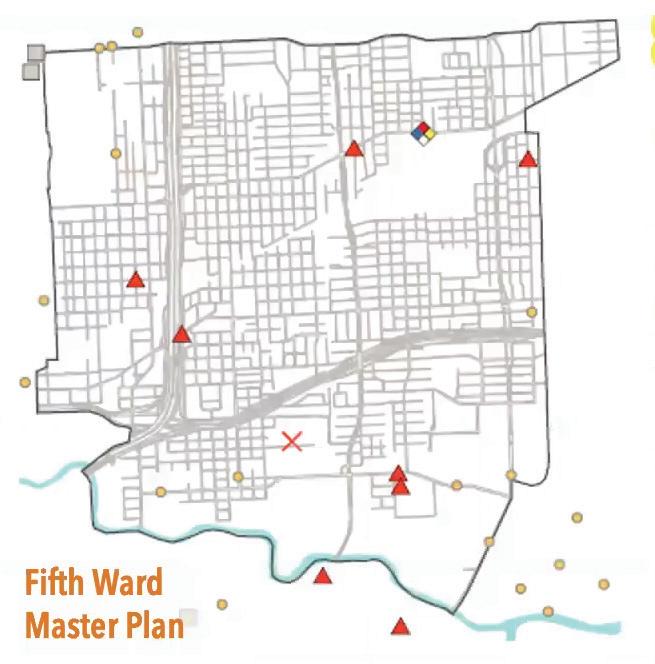
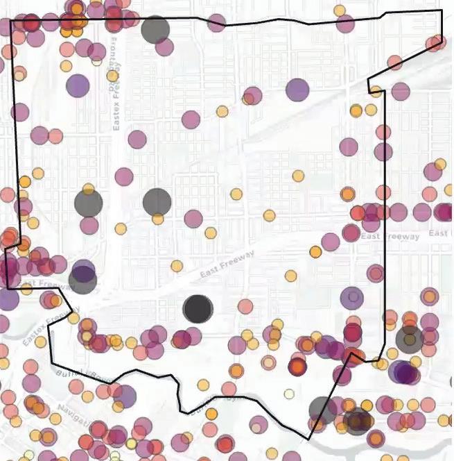
the expansion, redevelopment, or reuse of which may be complicated by the presence or potential presence of a hazardous substance, pollutant, or contaminant.”1 Given such a broad definition, many properties can qualify as brownfields. This complicates the development process in a number of ways and lowers land values significantly. To remedy this, the EPA has incentivized the redevelopment of polluted sites through the Brownfields Redevelopment Program. This program gives grants to municipalities, non-profits, and state and local governments. Community Lattice helps their clients understand how they can leverage these grants. Recently, they put together a Brownfields Strategic Plan for the City of Houston.
Getsinger gave some examples of relevant projects in Houston, such as the Fifth Ward Cultural Arts District, St. Elizabeth’s Hospital, the Brownfields to Parks Initiative, and Sunnyside Landfill. All of these projects required
EPA funding to study and manage potential pollution on those sites. As such, there are thousands of brownfield sites out there that aren’t recognized by the EPA simply because they have not received EPA funds. This is similar to how Superfund sites are differentiated from brownfields. Superfund sites are designated for cleanup by the EPA and receive funding from the Comprehensive Environmental Response, Compensation, and Liability Act (CERCLA). In contrast, brownfields are any site where environmental contamination is present. To remedy this lack of visibility, Community Lattice has built a comprehensive tool for identifying brownfield sites, which they built over several years by compiling data on historic polluting land uses and then rating them on a scale of high to low potential for chemical/pollutant releases. The tool is called Platform For Exploring Environmental Records, or PEER, and is available online at https://lattice.shinyapps.io/peer/
Q: What is a developer required to do in order to develop a polluted brownfield site?
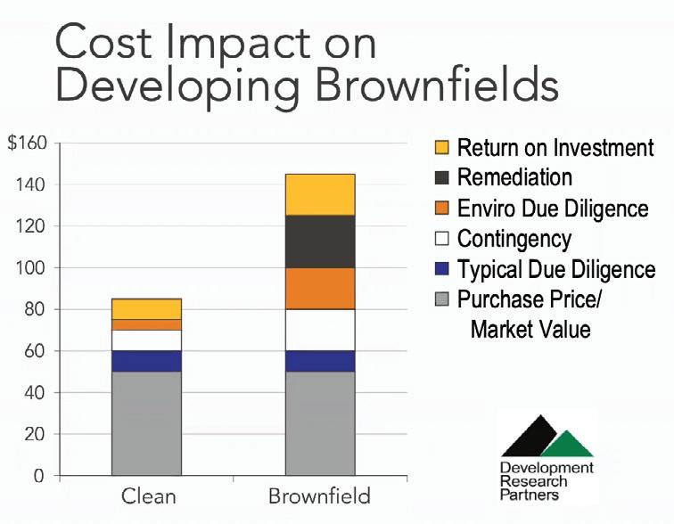
A: There are a lot of regulations around developing polluted sites. But essentially a developer, if they want to use EPA funds, must go through a Liability Protection Review and must adhere to American Society for Testing and Materials (ASTM) standards when undergoing cleanup. The review protects the developer from liability if pollutants are found on the site after the fact. But if the review finds any contamination, the developer must remedy it, which can be very costly.
Brownfield sites often face significant remediation costs which serves as a barrier to redevelopment, particularly in already disinvested neighborhoods.
difficult and long-term organizing to identify and address each site’s particular pollution issues. She noted that much of the work that needs to be done is related to awareness. Brownfields, as noted above, can be ambiguous to define and therefore hard to make visible. In addition, Superfund sites, which are specifically designated by the EPA for cleanup, can be confused easily with brownfields.
Getsinger next answered several questions from the studio.
Q: Your visualizations, surprisingly, did not show a lot of brownfield sites in EPA GIS data along the Ship Channel. Why is this the case?
A: The brownfield data provided by the EPA only documents sites that have received
Q: What is the best way to balance economic benefits versus the health impacts of living near contaminated land (i.e. workers living close to industrial jobs)?
A: There are a lot of environmental justice organizations working on issues around this question, like Air Alliance Houston and TEJAS. In Houston, the biggest threats of living near industrial sites are air pollution and industrial explosions. However, there is a lot of community pride in the industry, so navigating this balance is difficult.
1. Smart Growth, Brownfields, and Infill Development. n.d. Epa.gov. United States Environmental Protection Agency. Accessed February 2, 2023. https://www.epa.gov/ smartgrowth/smart-growth-brownfields-and-infill-development.

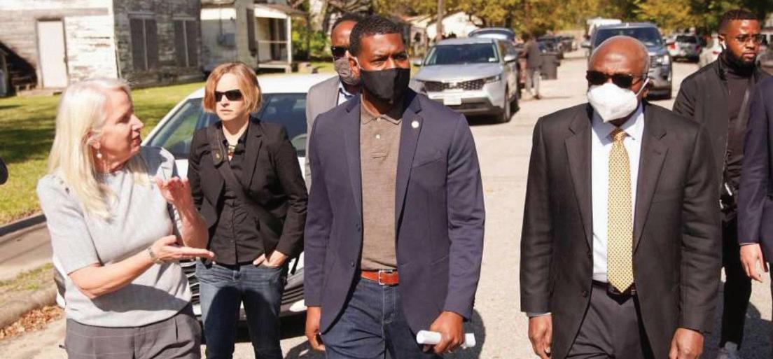

Rod McCrary, PE, is a Vice President at AECOM and oversees the company’s work with the Port of Houston on the Houston Ship Channel. Tony Loyd, PE, was Vice President at AECOM and Head of the Houston Office until 2022. Chris Levitz, PE, CFM is a Project Manager at AECOM and works on the firm’s Gulf Coast projects, specializing in coastal engineering, planning and resiliency.
Rod McCrary, Tony Loyd and Chris Levitz of AECOM Houston led the studio through a series of presentations about the infrastructure and resiliency of the Port of Houston and the Houston Ship Channel. AECOM Houston is a major design partner of the Port of Houston and has been intimately involved with design and construction efforts related to the Ship Channel’s various expansion and infrastructure projects over the last several decades. The Port of Houston Authority is a quasi-public authority, shared between the state of Texas and Harris County, and is responsible for the entire fifty-two miles of the Ship Channel. Since 2010, the Port of Houston has been planning Project 11, the eleventh major expansion of the Ship Channel, working with Congress, the Army Corps of Engineers, AECOM, and other design partners.
The presentation began with some background on the industries that the Port of Houston and the Ship Channel support. Seventy percent Ship Channel cargo is “liquid bulk,” including gasoline, diesel, gasoil, residual fuel oil, or other similar kinds of liquid cargo, making the Port of Houston the largest petrochemical complex in the world. Twenty percent of cargo (and growing) is containerized cargo, three percent is project cargo, four percent dry bulk, and the remaining three percent is general cargo. Altogether, this makes Houston the first-ranked US port in foreign waterborne tonnage, with 193.8 million short tons in 2021. Ships arrive from all over the world, with thirty-seven percent from East Asia (increasing due to Panama Canal improvements); twenty-six percent from Europe, the Middle East, and Africa (EMA), twenty-one percent from Latin America; twelve percent from the Indian subcontinent; and four percent from all other regions. The Ship Channel has an
enormous economic influence as a “national treasure,” impacting 1.35 million jobs in Texas and 3.2 million jobs nationwide while contributing $339 billion in value to the Texas economy and $802 billion in value across the US.1
The Channel has seen significant changes, having been repeatedly deepened in five-foot increments over its one-hundred-year history. A containerized cargo boom since 1957 has driven one of the fastest-growing segments of the port. However, its chief export remains chemical resins that are made into plastic products. Today there are half again more imports than exports, but imports and exports were equal as recently as twenty years ago. Because of this tremendous growth, the Port and Army Corps are already looking past Project 11 and toward a Project 12 expansion. Presently, the Ship Channel vessel size is limited to eleven hundred feet long due to bends in the channel, but Project 11 includes necessary widening to accommodate twelvehundred-foot Post-Panamax vessels (a standard size) and two-way traffic, both necessary for the present volume. Project 12 would look to deepen the channel up to fifty-five feet. Project 11 is estimated to cost $1 billion, while Project 12 would run at least $1 billion or more due to the dredging of the continental shelf, which would be required to allow deeper-draught vessels to continue out to the Gulf of Mexico over twenty miles offshore.
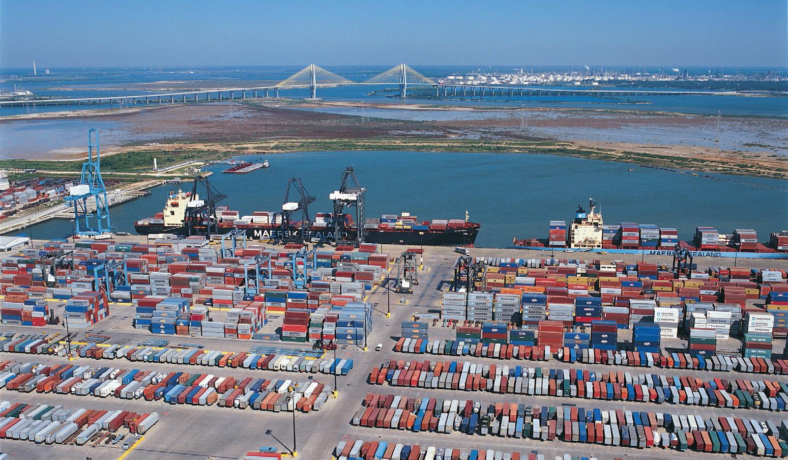
The Houston Ship Channel (HSC) is federally owned, so any changes must be done in conjunction with the Army Corps of Engineers. As such, for Project 11 fifty percent of the cost is
shared by the federal government. The first step towards completing the project was a feasibility study that AECOM completed between 2015 and 2020. The Channel gets narrower further inland, down to three to four hundred feet wide instead of over five hundred feet wide. It has been dredged about as deeply as it can be with existing constraints, but future plans would deepen the Channel from 41.5 feet in the upper reaches to 46.5 feet for the remaining length.
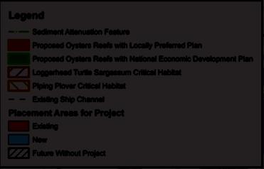
As a result of a partnership among the Port of Houston, US Army Corps of Engineers, and the Beneficial Users Group (or BUG, which includes the Environmental Protection Agency, National Marine Fisheries Service, National Resource Conservation Service, Texas Parks and Wildlife Department, the Texas General Land Office, and the US Fish and Wildlife Service), all dredged material from maintaining and upgrading the Channel is used to create artificial bird islands and salt water marshes in Galveston Bay. Today, these islands are home to nearly ten thousand nests, several bird species (including great blue herons, great egrets, snowy egrets, tricolored herons, and brown pelicans) and the largest gathering of nesting bird pairs in the entire Galveston Bay system. There has been a net loss of saltwater marsh across the years, but Project 11 will result in 300 acres of additional bird islands and oyster reefs made from clay core and rock, including three bird islands. As channel widening typically disrupts oyster growth, which occurs on the sides of the waterway, Project 11 will also include the creation of eighteen twenty-acre oyster reefs at Dollar Point and San Leon.
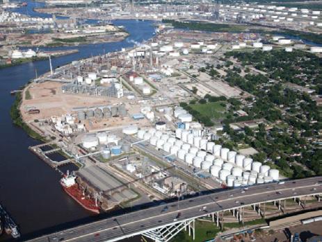
The Ship Channel has a number of private terminals serving petrochemical facilities.


Dredge material from Project 11’s expansion of the Ship Channel will be used to supplement and build new bird islands and environmental habitat in Galveston Bay. Oyster reefs are also proposed.

The Port aims to proceed with Project 11 using a compressed construction schedule. The Federal Water Resources Development Act (WRDA) ensures that projects with benefit to cost ratio above 1:1 are more likely to receive funding and appropriations, so pursuing a compressed schedule would be likely to use more local funds. Doing so, however, could cut up to five years from the project. Targeting improvements for Post-Panamax vessels and other improvements are beyond present federal commitments.
National and global competition drives these dredging and expansion projects; otherwise, private industry would move to competing ports such as Corpus Christi, New Orleans, Savannah, or Los Angeles. Ships are continuing to get bigger to drive down costs, a process accelerated by widening of Panama Canal. This, in turn, forces ports to expand their capacity.
The Port of Houston is financed by tolls and fees for its use, as well as leasing of facilities. It uses debt financing, revenue bonds, and private industry investment for construction. Port ES2G is the Port’s Environment, Social, Safety and Governance program. Since 2016, the Port’s carbon footprint is down by fifty-five percent. In April of 2022, the Port of Houston committed to carbon neutrality by 2050.2 Port officials plan to achieve a net-zero GHG footprint by 2050 by upgrading technology, improving infrastructure and equipment, and using alternative fuels and clean energy sources.
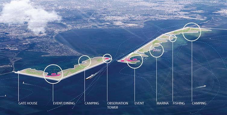
The presentation continued with an overview of the resiliency projects, both planned and underway, around the Galveston Bay and Port of Houston. One major such project is the Texas Coastal Study, also known as the “Ike Dike,” a $26 billion storm-surge protection proposal to build a dike at the mouth of the Galveston Bay to combat hurricane storm surge risk. Every year, hurricanes shut down the Ship Channel for several days, and Hurricane Harvey caused severe siltation, restricting the draught of the Channel and requiring it to be dredged at major expense. Much of the criticism of the “Ike Dike” proposal comes from its enormous price tag in addition to the fact that it does not protect Houston from storm surge originating within Galveston Bay itself. As a result, a team from Rice University has proposed the Galveston Parks Plan in addition to the Ike Dike, pairing a system of artificial island parks as a storm protection system. The plan proposes a ten-thousand-acre public park, event venues, marinas, and destination sailing, going beyond disaster planning to balance an array of civic needs. By using a consensus resilience planning approach instead of just an
engineering solution, the plan would engage both community and ecology. Hydrological challenges remain outstanding, however, and it would require significant effort to de-engineer the Ship Channel. The planning study was funded by the city, county, and developers, but the federal government has already completed a separate study and concluded that the Ike Dike remains the preferred alternative (PA). Since the Rice University project is only preferred locally, a series of hurdles remain to prove its viability to the federal government.
The session concluded with questions regarding the future of energy in Houston.
Q: How is the decarbonization conversation playing out in Houston?
A: There has been a pullback in offshore drilling as well as some investment in carbon capture. Shell is studying refinery plant consolidation by considering plant hibernation, but not yet phasing them out. Additionally, ExxonMobil, headquartered in the Houston area, has proposed an Innovation Zone along Ship Channel with a $100 billion carbon capture and storage plant. Some plants are already being phased out; for example, LyondellBasell recently announced that they will be closing their Ship Channel refinery due to market factors. Carbon markets are coming to Texas, with a big focus on “blue carbon” investments including financial incentives to maintaining coastal wetlands, prairies, etc. The Port of Corpus Christi wants to become the leading green port in the country by leveraging Texas’s success with wind energy to create more capacity to serve that market. Because of state-level Texas politics, you will never see Port of Houston talking about these things in the same way as in Los Angeles or the Pacific Northwest. However, we see the energy transition happening quickly because of a quickening regulatory environment and culture.
1. “Port Statistics.” n.d. Port Houston. Accessed February 2, 2023. https://www.porthouston. com/about/our-port/statistics/.
2. Port Houston Commits to Carbon Neutrality by 2050. 2022. Porthouston.com. Port Houston. April 4, 2022. https://www.porthouston.com/ news-media-press/press-releases/.
Matthijs Bouw
Matthijs Bouw is a Dutch architect, urbanist and founder of ONE Architecture and Urbanism. Established in 1995, ONE is an award-winning design and planning firm focused on the use of design for climate adaptation and mitigation. Bouw is Professor of Practice at the University of Pennsylvania Weitzman School of Design and lectures and teaches internationally. His latest book, co-authored with Jonathan Barnett, Managing the Climate Crisis: Designing and Building for Floods, Heat, Drought, and Wildfire was published in 2022 by Island Press.
After the “Research” and “What If” phases of the studio, Matthijs Bouw, studio instructor and founder of ONE Architecture and Urbanism, gave a lecture about the work ONE has done designing within circular economic models in Amsterdam. The presentation focused on the “Hackable City,” a joint research initiative that studied circular economies, community-driven coalitions, and development patterns to combine top-down smart-city tech with bottom-up “smart-citizen” initiatives. This work served as a model for the students as they embarked on the studio’s project development phase.
Buiksloterham, a post-industrial neighborhood in Amsterdam, has been undergoing redevelopment and transition for the last two and a half decades. The area was built on
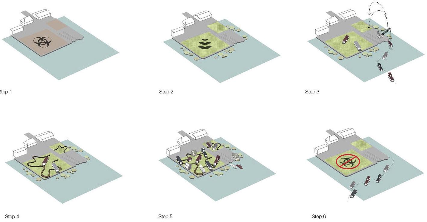
Step 1: The abandoned and polluted site lies underutilized. Step 2: A remedial wetland is constructed to clean polluted soil. Step 3: Secondhand houseboats are refurbished and put in the park. Step 4: A raised boardwalk connects the houseboats. Step 5: Events are organized, pollution is reduced, and a new community forms. Step 6: After ten years, the houseboats move to a new location and the soil is given back to the city, cleaner than before.
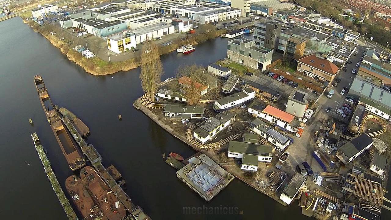
 residents lived in a self-built neighborhood of secondhand houseboats above.
Step 1
Step 4
Step 2
Step 5
Step 3
Step 6
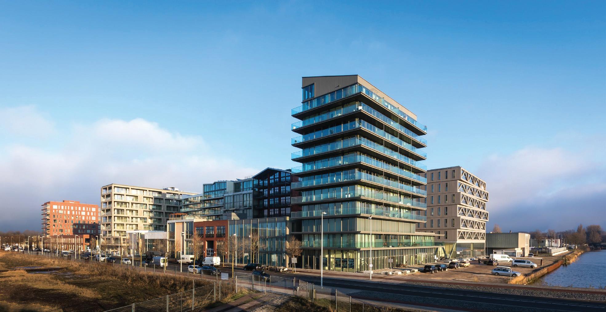
fill during the 1950s and was initially the site of industrial facilities and an airport. This legacy left significant environmental pollution and required intense clean-up measures to make it suitable for residential use. The original redevelopment plan was proposed in 2005 but never came to fruition due to the 2008 real estate market crash. As a result, the first redevelopment initiative to move forward was small-scale and a bit unusual: a group of regular citizens came together and built a temporary “floating” development on De Ceuvel, a heavily polluted parcel of land. Made up of secondhand houseboats connected by a network of boardwalks, the neighborhood blossomed while a constructed remedial wetland below worked to remove pollutants and restore the soil. This community created, in short, a circular environmental infrastructure model that included greywater remediation (via the wetlands) in addition to sewage and organic waste processing for fertilizer and biogas. They also grew their own food enough to supply a café and restaurant that soon became a local hotspot, putting the neighborhood “on the map” and demonstrating the feasibility of small-scale circular models of development.
Drawing from the success of the De Ceuvel community, the City of Amsterdam began to sell plots of land in Buiksloterham individually instead of pursuing a top-down, master planned development. This created a culture of social innovation that prioritized creativity and spontaneity. Neighborhood pioneers built their own houses, experimenting with form and materials while cultivating a distinct spirit of community. In one example, a resident built their house entirely from secondhand materials sourced from eBay and bankrupt building suppliers. These nascent communities began to self-organize and advocate for a park system and infrastructure improvements.
Within this community-driven context, ONE Architecture and Urbanism was brought in as a design consultant (without involving a conventional developer). Using a bottom-up approach, including a robust lineup of community engagement tools such as “serious gaming,” ONE designed a flexible apartment building plan that accommodated a wide range of users and uses. During the design process, community stakeholders collaborated to create efficiencies such as shared geothermal power, pile foundations, joint workspaces, and shared guest
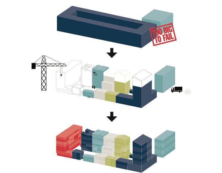
apartments for visitors between the apartment building and its nearby contexts. This reduced construction costs and conserved water and electricity. After construction, the apartment building was recognized as among the most energy-efficient in Amsterdam.
These first development projects in Buiksloterham generated significant interest in this unusual form of city-making. Citizens even set up temporary homes to wait in line for plots to open for sale. To study these emergent phenomena, ONE, in conjunction with The Mobile City, an organization focused on technology and cities, received funding to begin the “Hackable City” project, a research initiative to explore the dynamics between citizens, design professionals, institutions, and digital technologies and new media. This research culminated in “The Hackable City Research Manifesto and Design Toolkit,” a publication that took a close look at how digital tools are improving the built environment in areas such as urban farming, social dynamics, borrowing services, and sustainable water use. The study documented an emerging network of shared economies that were changing the way cities were governed by creating spaces for improvement, implementation, and institutionalization. This sharing economy created feedback loops that led to continuous city-making at a community level: individuals organize into collectives, collectives organize to enact communal benefit, and communal benefit leads to fundamental change, transcending its small-scale beginnings. Ultimately, this research showed that sharing knowledge (sharing economies) are sustainable, affordable, flexible, andperhaps most importantlynot reliant on global capital.
The unfolding city-making in Buiksloterham is an important case study for designers. It demonstrates that their role should move beyond designing physical environments to include researching and designing community-driven city-making processes. Designers should find synergistic roles, such as the inventor, lobbyist, communicator, organizer, or planner, to stage bottom-up interventions.
The session concluded with questions about the project and its processes for community-driven development.
Q: From the lessons learned in this project, do you think such a model is replicable outside of the context of Amsterdam?
A: We do, and we think about this question a lot. The answer should be yes; the possibilities for this framework in places like Houston and New York are great because real estate in these
cities is often so valuable. If you do it smartly perhaps in land with no intrinsic value (like the polluted De Ceuvel site) social processes can be organized to create value, and that value can be returned back to the local contexts. Take, for example, the Triboro Line study for New York City (now the Interborough Express) organized by the Regional Plan Association (RPA) for the city’s Fourth Regional Plan in 2017, which ONE collaborated on. This proposal used similar tools and ideas to organize and connect development sites in the outer boroughs, where there is less real estate activity, via an underutilized rail corridor. These locally-oriented models allow for community-driven densification and decrease carbon emissions while creating community-building capacity and well-being. The study also used several American typologies, like community land trusts, to ensure value generation stays local.
Q: What was it like to work with the municipality to change its preference for top-down development?
A: It was a complex process. When money was tight, most of the development was smaller-scale anyway. But when money came back, they started selling larger plots again to developers. Community groups fought against this quite a bit and had some successes and failures. But many people bought into the idea and now the municipality dedicates eighty percent of its sites to this type of bottom-up development.

ONE’s design and engagement process involves a series of steps to engage, refine ideas, and build institutional capacity with communities.
The mixed-income neighborhood that resulted in Buiksloterham is an important case study for designers by demonstrating how their role can move beyond just designing physical environments to designing community-driven development models.

Catalogtree
Catalogtree, based in Arnhem, The Netherlands, is an interdisciplinary design studio founded in 2001 by Joris Maltha and Daniel Gross. They work on commissioned and self-initiated projects centered on self-organizing systems using the framework “form equals behavior.” Maltha and Gross have lectured and taught widely. Their work is in the collection of the Cooper Hewitt, Smithsonian Museum of Design, The Archive of Het Nieuwe Instituut, and the Museum of Design Zurich.
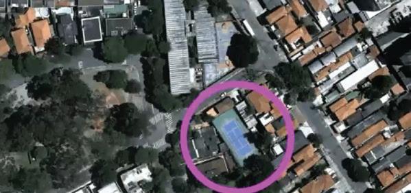
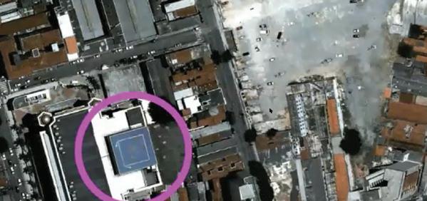
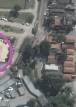
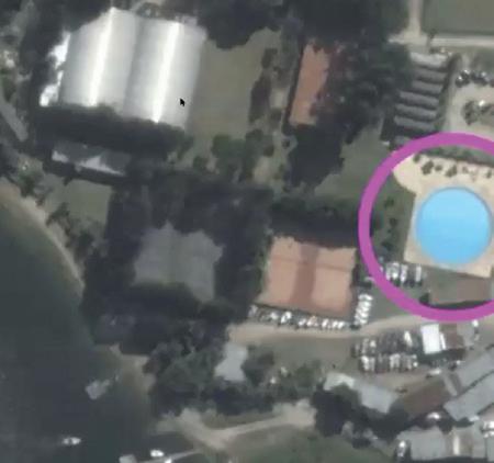
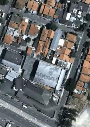
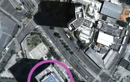
Catalogtree is a multidisciplinary design studio founded by Joris Maltha and Daniel Gross and based in Arnhem, The Netherlands. The studio is focused on experimental toolmaking, programming, typography, and the visualization of quantitative data. Joris and Daniel virtually visited the GSD to give an overview of their work and provide critiques of and support for data visualization and graphic clarity in the students’ projects. In their lecture, Catalogtree told a story of a project they worked on to build an algorithm to detect helipads in Sao Paolo, Brazil. The algorithm didn’t work as expected: tasked with identifying blue helipads, it picked up tennis courts, swimming pools, and other things that were irrelevant to their work. It also
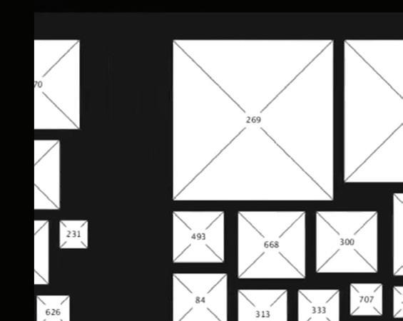
turned out that not all helipads in the city were blue, as they initially expected. Their algorithm ended up locating over one thousand blue objects in the City of Sao Paolo. While it returned a lot of data points, in the end, there was not much they could do with that information. They gave another example of their work, the design of the book Local Code: 3,659 Proposals About Data, Design, and the Nature of Cities by Nicholas de Monchaux. The book highlights thousands of vacant lots in Los Angeles, San Francisco, New York, and Venice, all of which were identified using GIS data analysis. To organize these sites, Catalogtree sorted them by price. Lower-priced sites were assigned a larger size in the layouts while more higher-priced sites were smaller on a descending scale. They recommended using systems like this: simple organizational principles to make layouts that define hierarchies on a page. The last example that they gave was the story of an intoxicated driver that, while under the false impression that they are being chased by the police, drove erratically through a cornfield for half an hour. Catalogtree showed an aerial image of the car tracks looping through the field, tracing the driver’s looping path. They used this to say that it is a complex undertaking to draw good diagrams based on vague, bad, or incomplete data.
Their lesson to the studio: data is never purely objective; it requires smart decisions to make sense of it.

Catalogtree developed an algorithm to identify helipads in the city of Sao Paulo. While it generated thousands of data points, flaws in their underlying assumptions meant the database was unusable.


The example of the case of an intoxicated driver who was under the impression he was being pursued through a cornfield playfully demonstrates how it is difficult to draw proper conclusions if the input data is faulty.






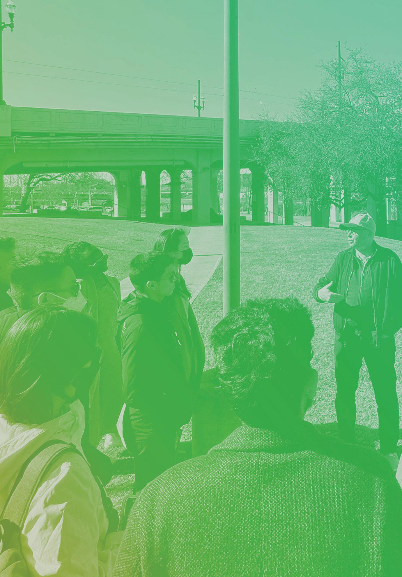
One of the aims of the studio was not only to teach students about resilience, but also to emulate critical components of designing for resilience: working through scales and systems, collaborating with different disciplines, and innovation through design. Students worked in interdisciplinary teams of three across urban design, landscape architecture, and urban planning to research a theme on Houston and communicate the resulting analyses in a way that could be used by the entire studio. The four themes were place, capacity, environment, and economy.
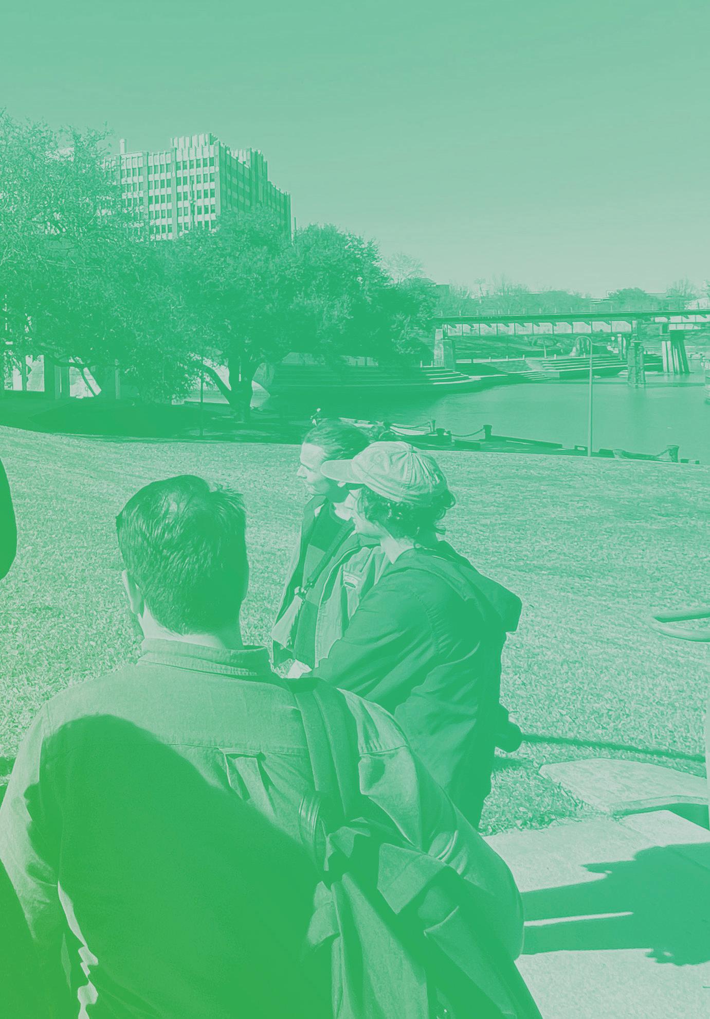
For centuries, the watershed surrounding the Ship Channel has been exploited for commerce. This has brought great wealth to the region at a significant environmental cost. The climate crisis has made it clear that we will need to rethink our urban and natural systems to find a new balance. Nature-based solutions are increasingly being used to mitigate and adapt to climate change, reduce pollution, and increase biodiversity, and such techniques will be a critical tool in renegotiating this balance. The Place team aimed to understand and map the natural and human history of the area, with a special focus on the interactions between natural and man-made systems. The group also began to identify which areas are likely to change as we transition away from fossil fuels and explored how concepts of “building with nature” might be applied. The history of the Ship Channel has made it abundantly clear that the ecological and natural environment of Buffalo Bayou has been sacrificed for the city’s economic development, transforming what was once a three- to five-foot-deep bayou into a forty-five-foot deep and over five-hundred-foot-wide industrial channel. This has propelled Houston to become one of the country’s largest metropolitan areas while simultaneously heightening risks of flooding and environmental disaster for those in and around the Channel.
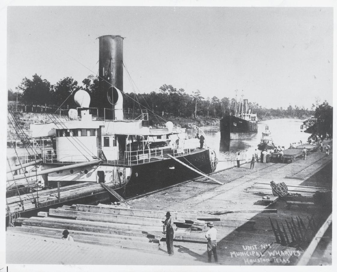
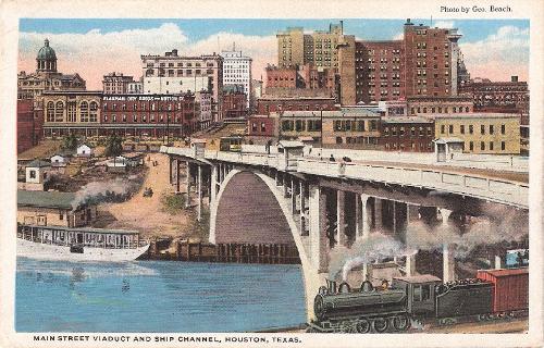
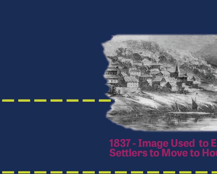
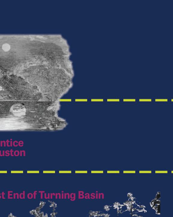
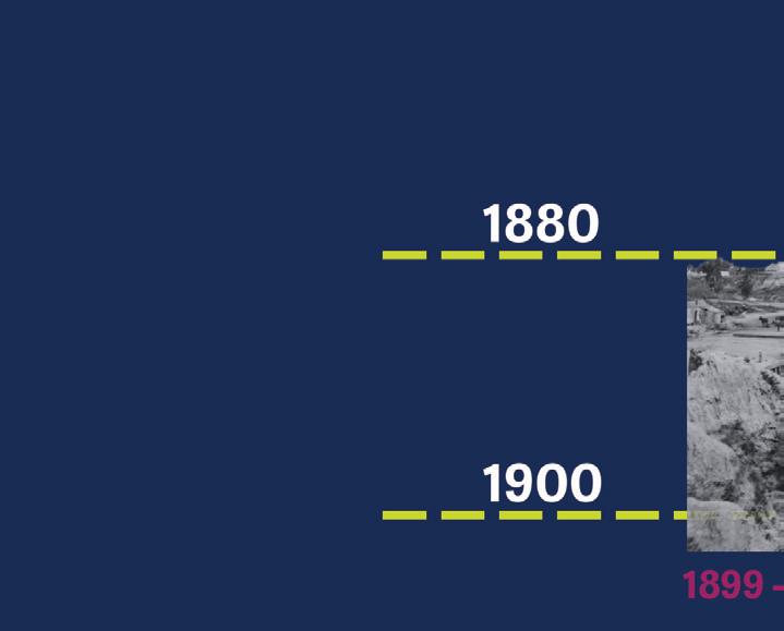
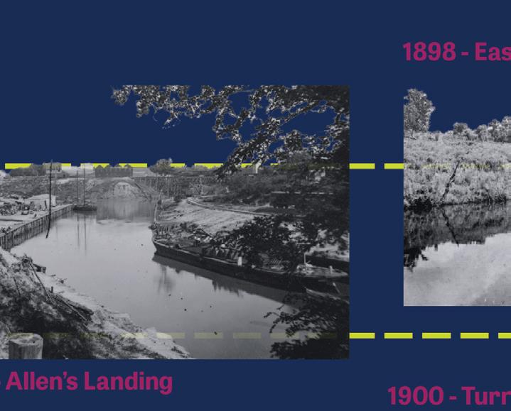
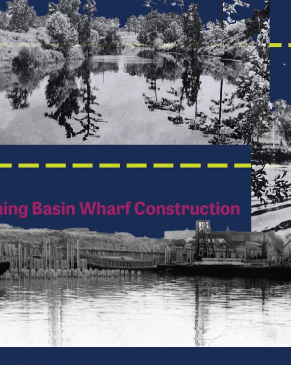
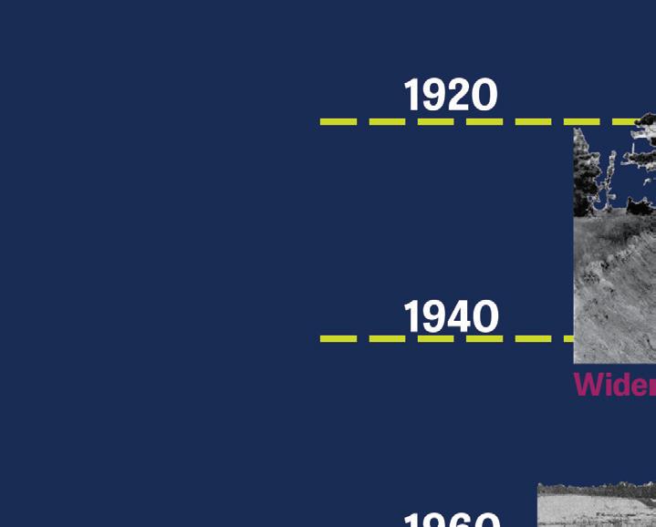
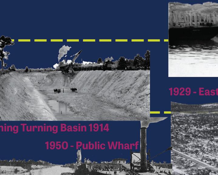
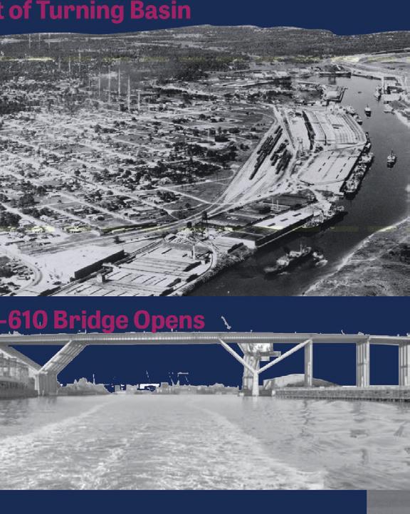

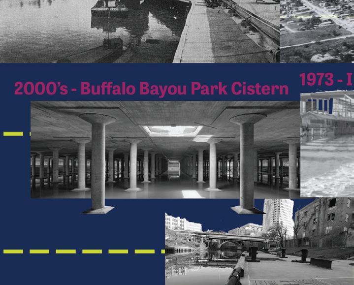
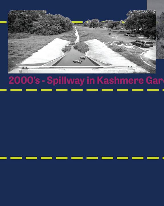


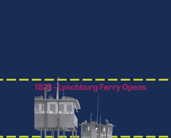

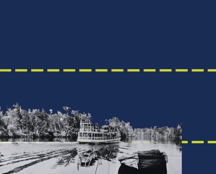
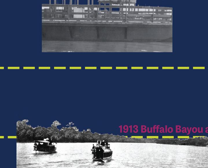
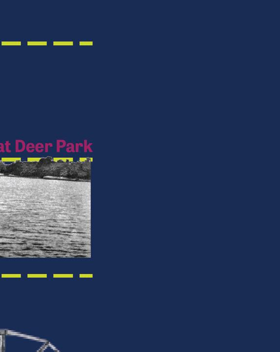
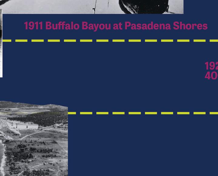
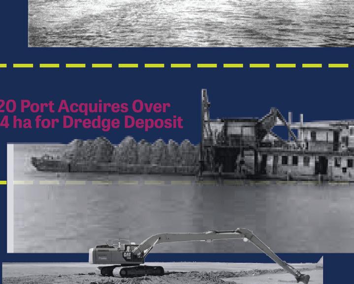

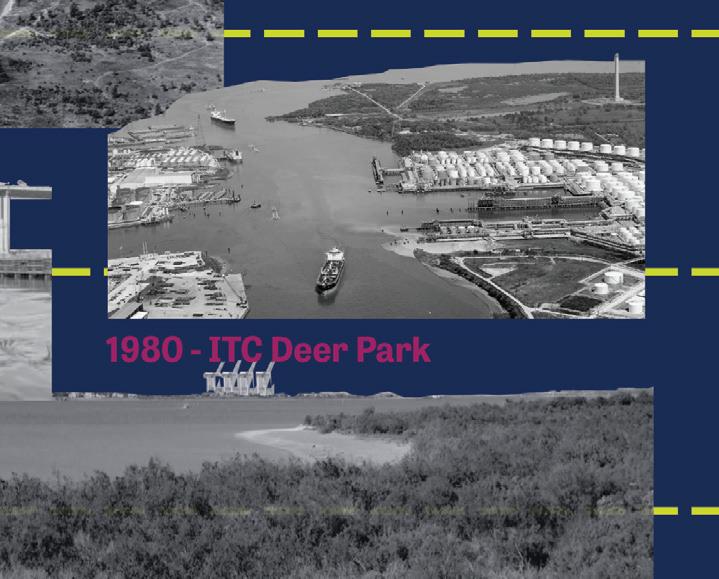
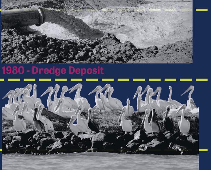

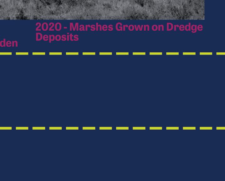
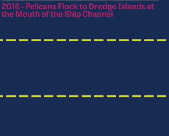 The history of the Ship Channel is intertwined with that of Houston.
Pollution and CO2 emissions are a constant presence along the Ship Channel. The networks of infrastructure and bayous criss-cross the region providing essential services, while the risk factor for disaster is high.




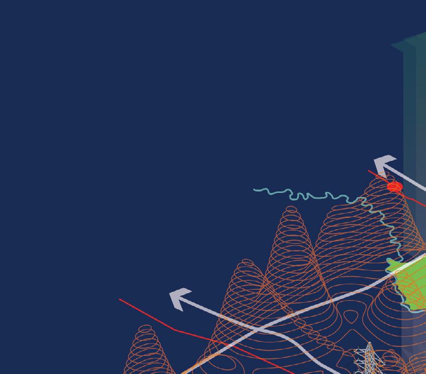
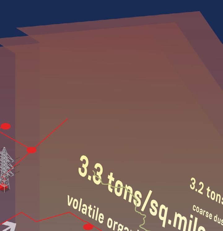
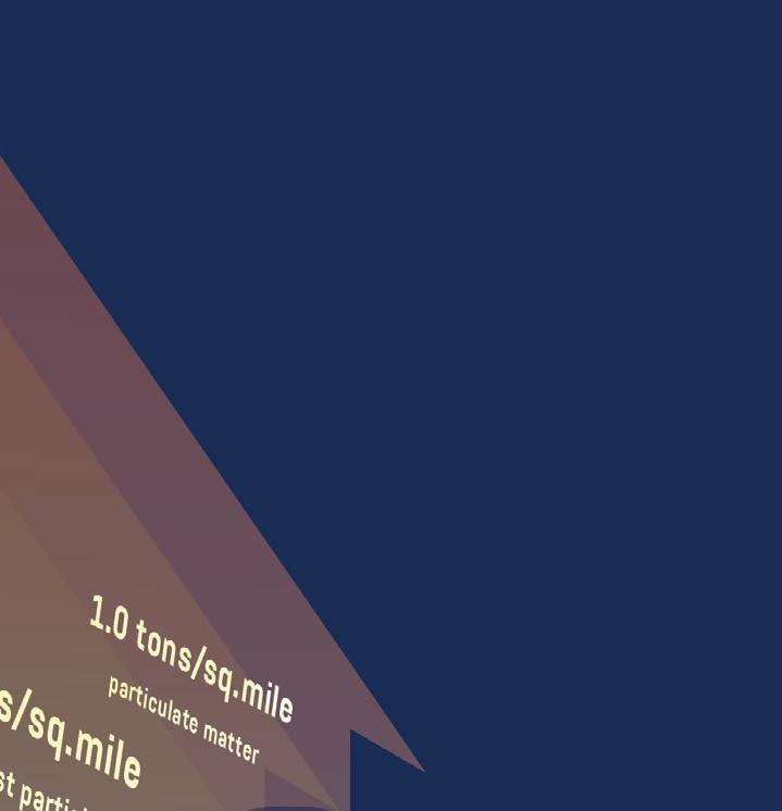

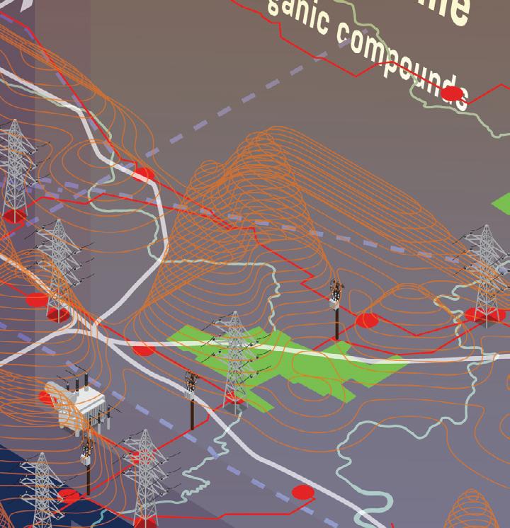
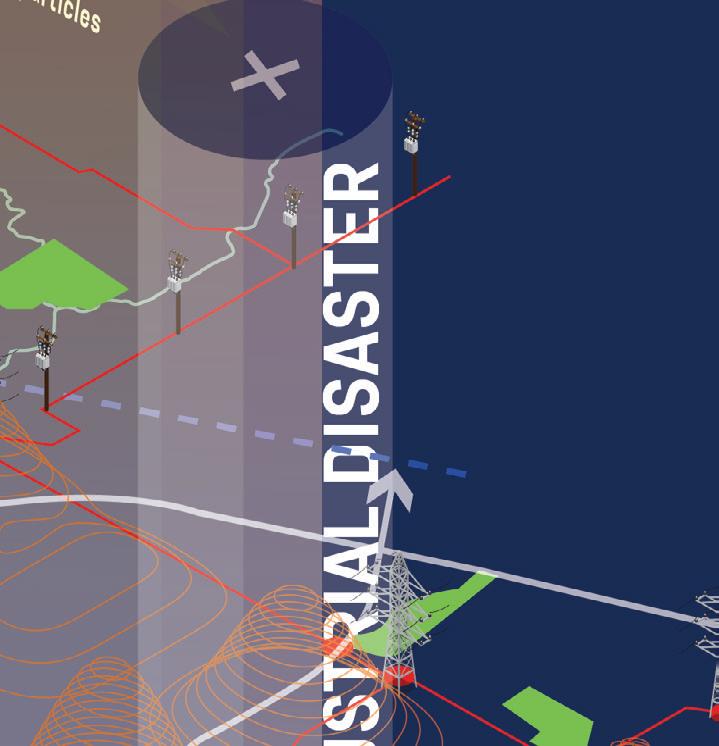
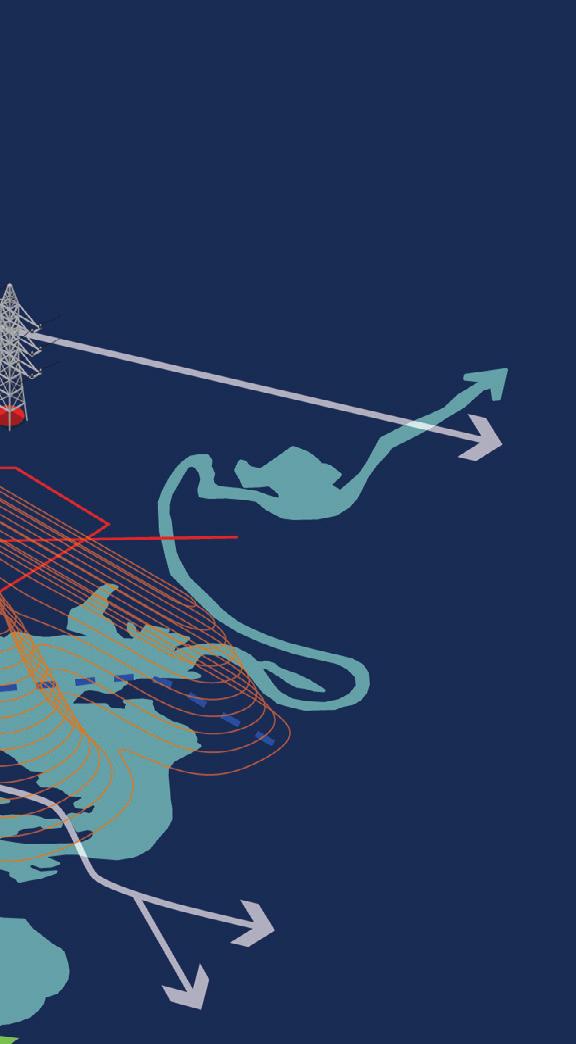
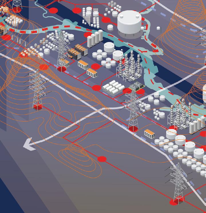
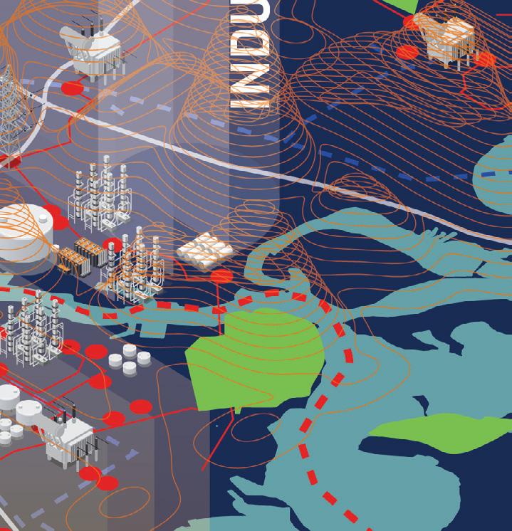


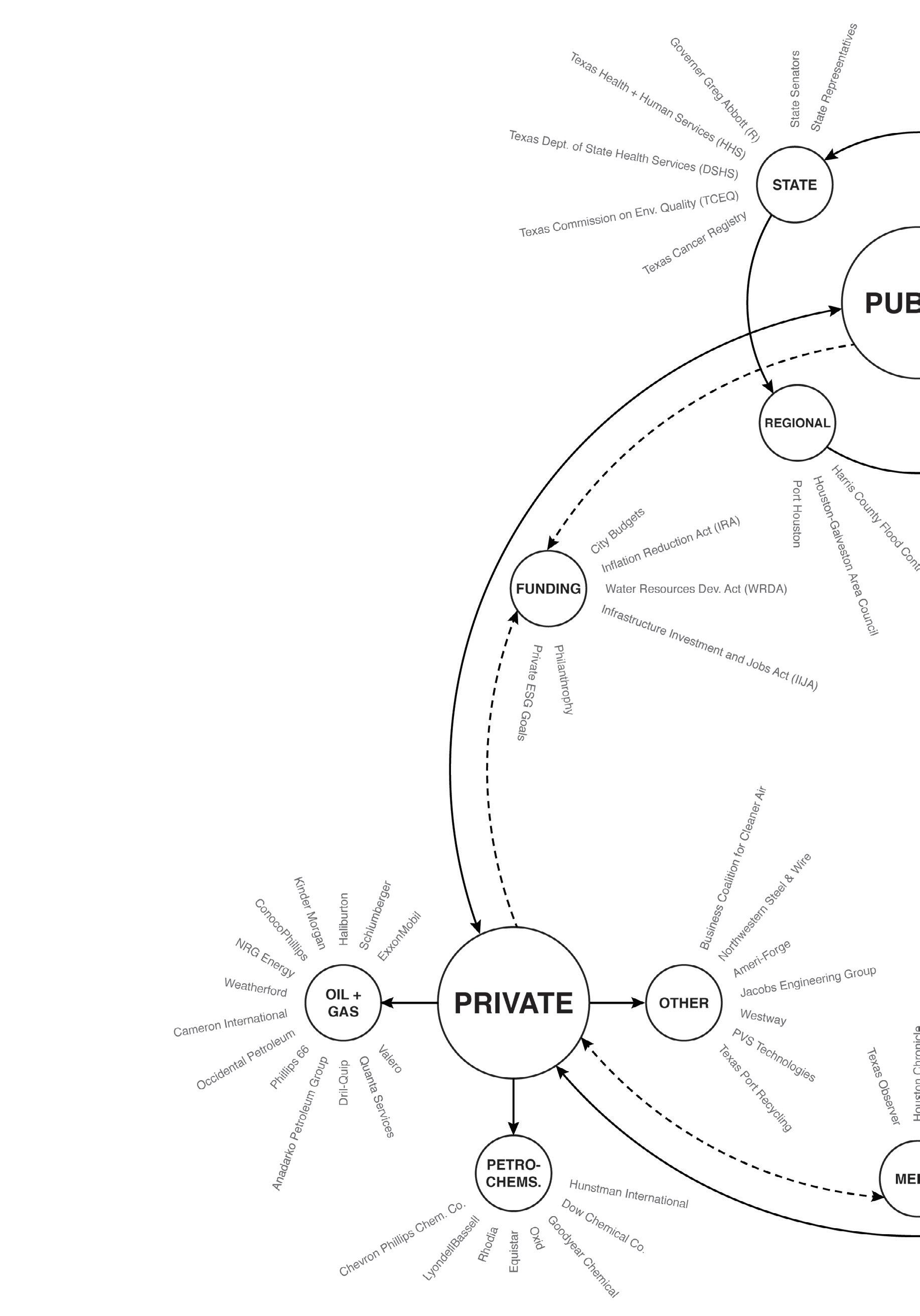
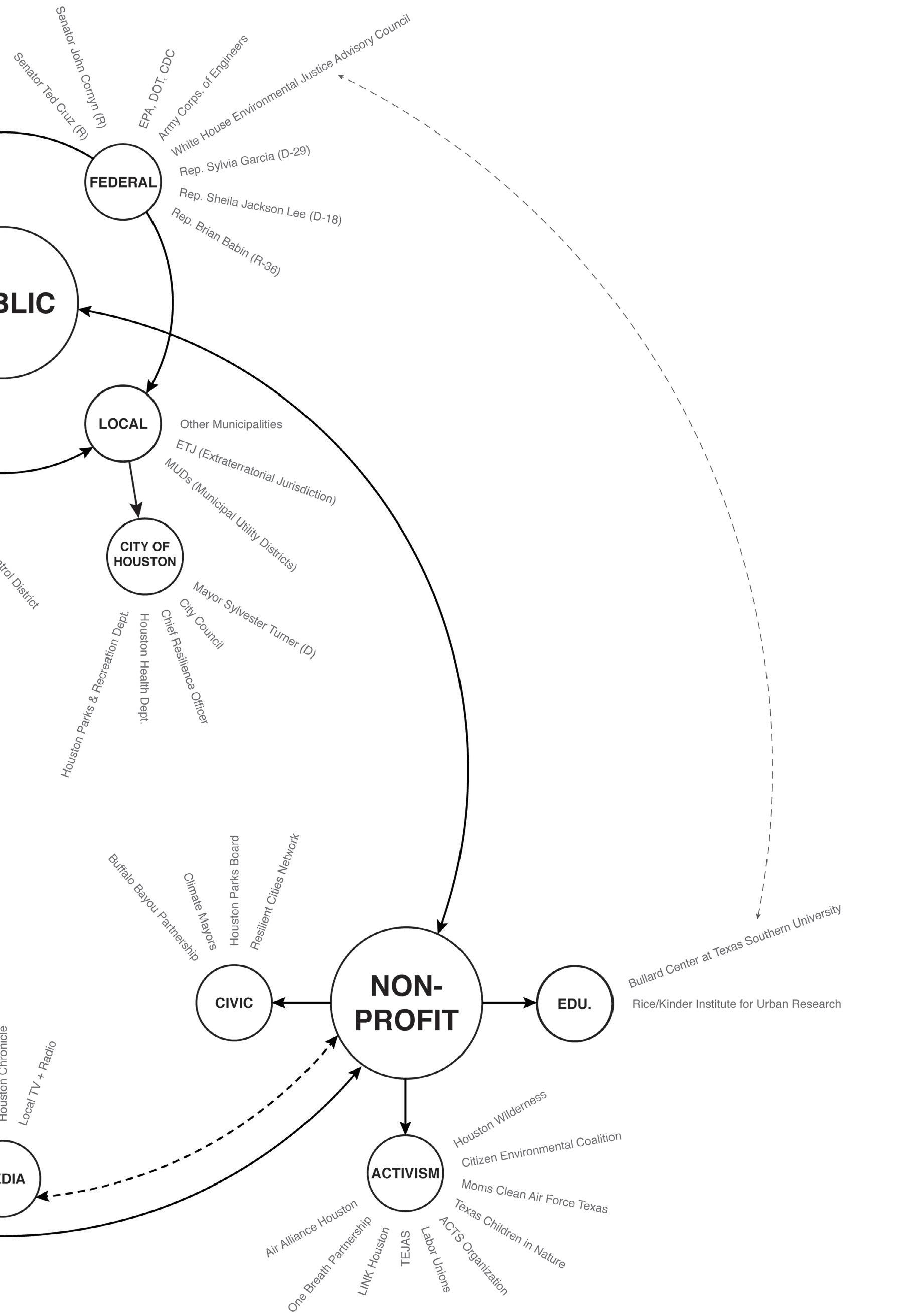
Houston is known as “the city with no zoning,” which is, according to many, a prime reason for its economic dynamism and many opportunities for minorities. It has also resulted in many problematic adjacencies and externalities. Contrary to what many people think, however, no zoning does not mean a free-for-all: there are many tools and actors that influence land use. The Capacity team analyzed Houston’s zoning, land use, and regulatory regime while exploring the different actors (communities, business associations, government institutions, and funders) that help shape the city to learn about its capacity for change.
Like many cities, Houston must attempt to balance the needs and desires of a diverse set of actors with varying degrees of influence and often competing priorities. The lack of a zoning ordinance allows for an innovative but problematic mix of land uses that can only be controlled with tools like subdivision ordinances, deed restrictions, residential buffering ordinances, airport zones, parking requirement ordinances, flood zone development restrictions, historic districts, central business districts, and tax increment financing (TIF) districts. Such tools often put decision-making power in the hands of private landowners, which, combined with a fragmented political administration, often results in market-driven urbanization. However, as the Houston Ship Channel is a federally-administered resource, there exists significant capacity for change—if there is sufficient political will to enact it.
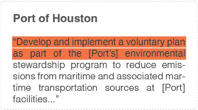
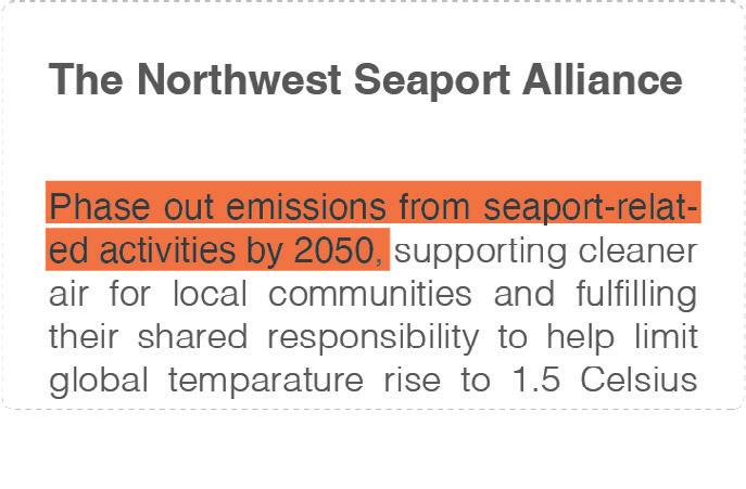
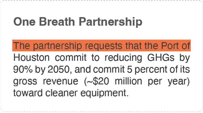
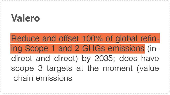
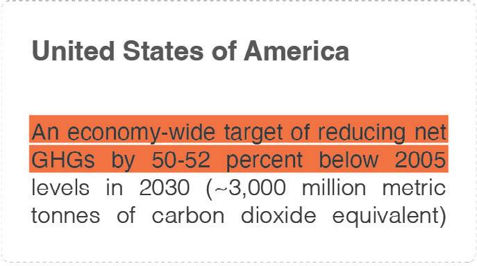
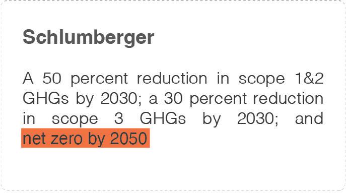
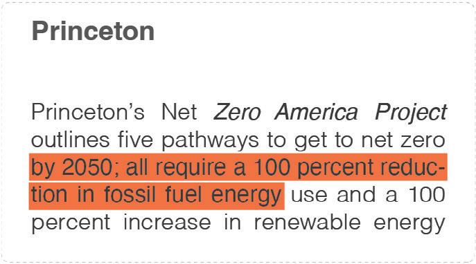
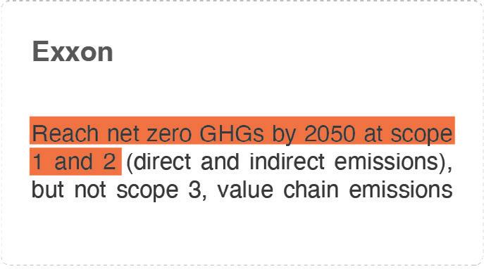
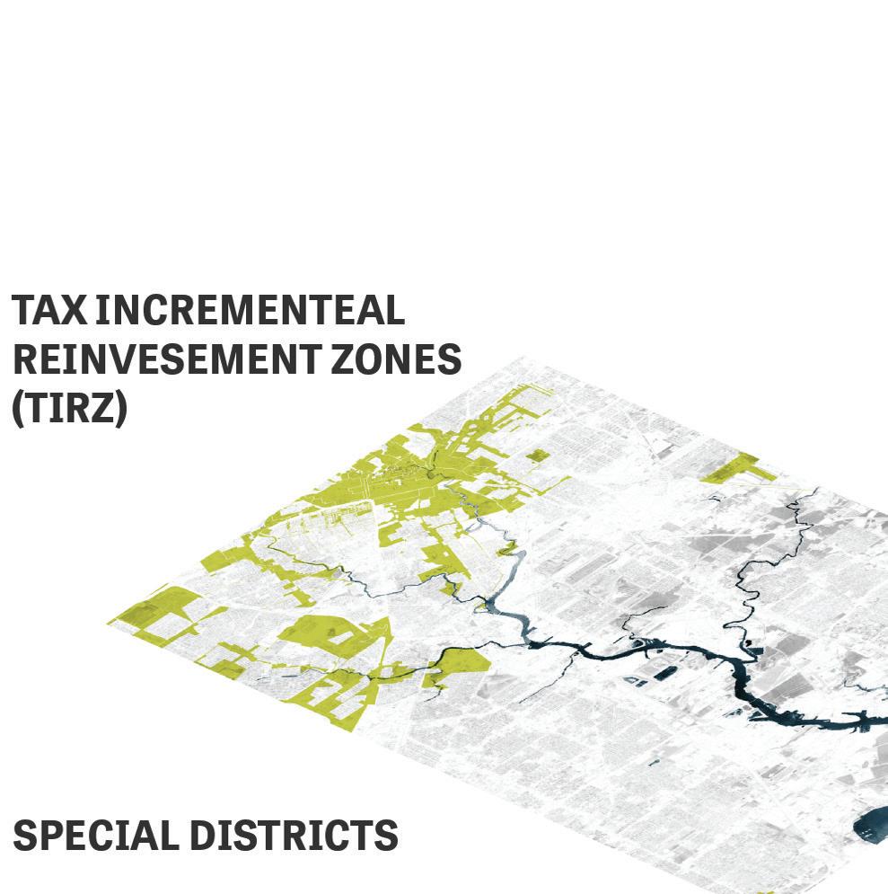

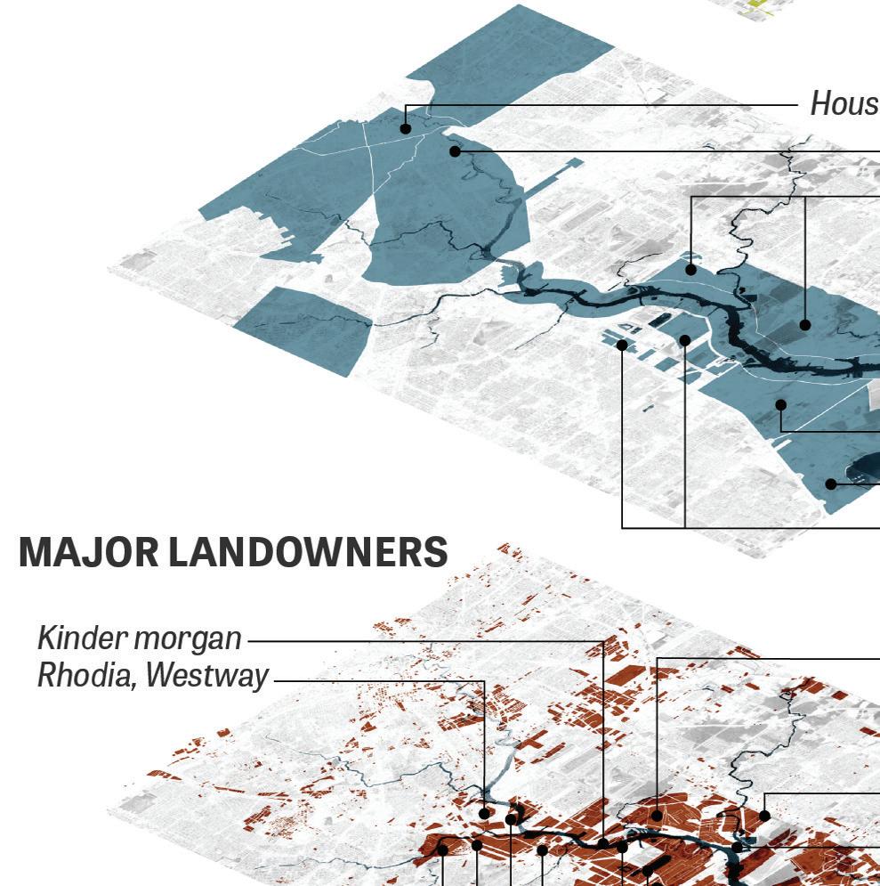
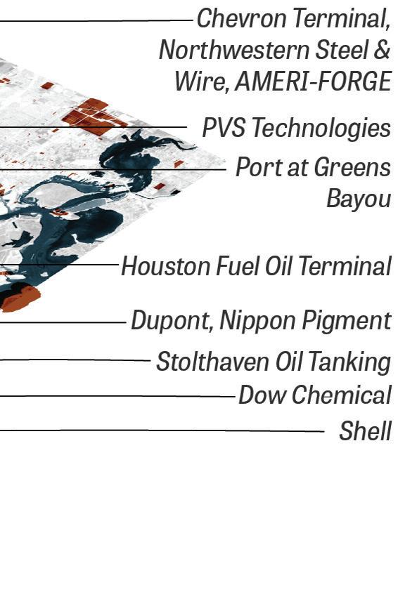
The City’s fragmented administrative structure puts much of the power in the hands of landowners, resulting in marketdriven urbanization. The Ship Channel however, as a federallyadministered resource, could be vehicle for change—if there is sufficient political will to enact it.
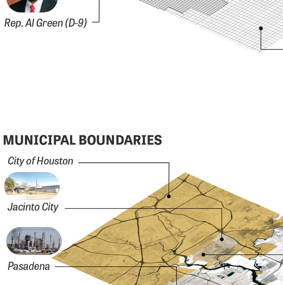

To drive change, Houston must attempt to balance the needs and demands of a diverse set of actors with varying degrees of influence and often-competing priorities across public, private, and non-profit sectors.
Many of Houston’s climate risks have made the national news in the past decade. The Tax Day floods and Hurricane Harvey have revealed the city’s vulnerability to stormwater flooding. The Texas cold snap of 2021 and the resulting grid failure was not as widely predicted. Many additional climate risks are not frontof-mind, including heat stress and storm surge. In addition, Houston’s population suffers from the environmental impacts of industry and transport, often in ways that exacerbate economic, social, and health inequities.
The Environment team aimed to produce a comprehensive risk analysis and explored what is and can be done to reduce these risks. Overall, Houston’s present patterns of development and sprawl are compounding risks that are already inherent in Houston’s geography. Without removing buildings from the floodplain, providing greater space for stormwater runoff, prioritizing the separation of industrial and residential uses, and remediating environmental pollution, risks to Houstonians will grow exponentially as climate change worsens extreme weather.
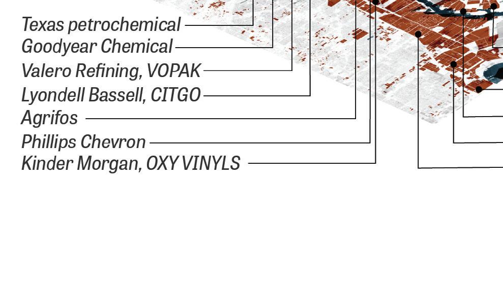
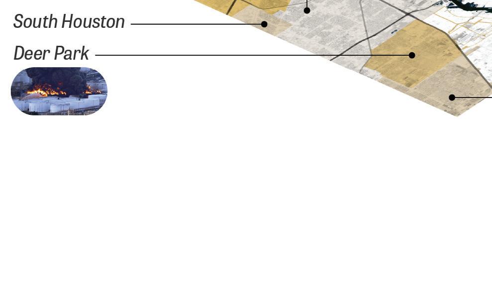
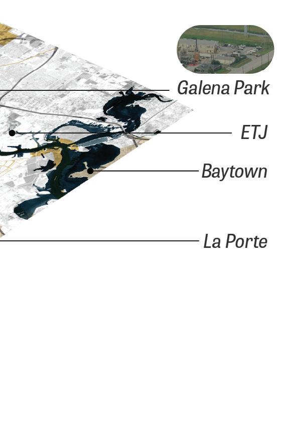
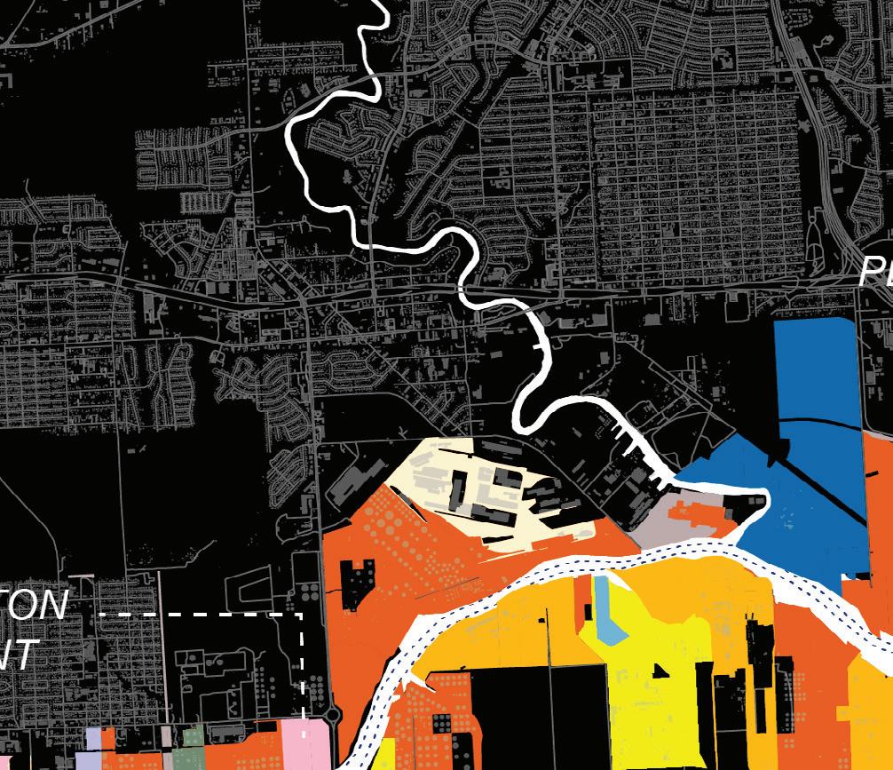
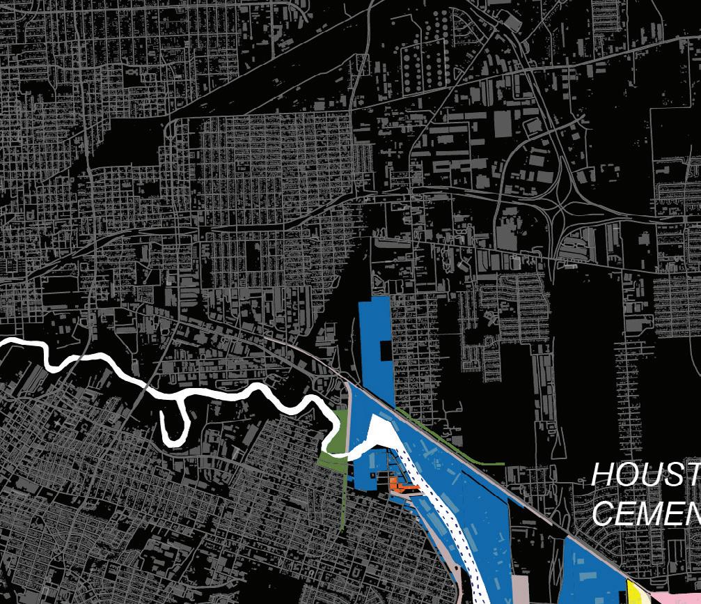
Industrial land use in Houston is concentrated primarily around the Shipping Channel
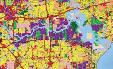
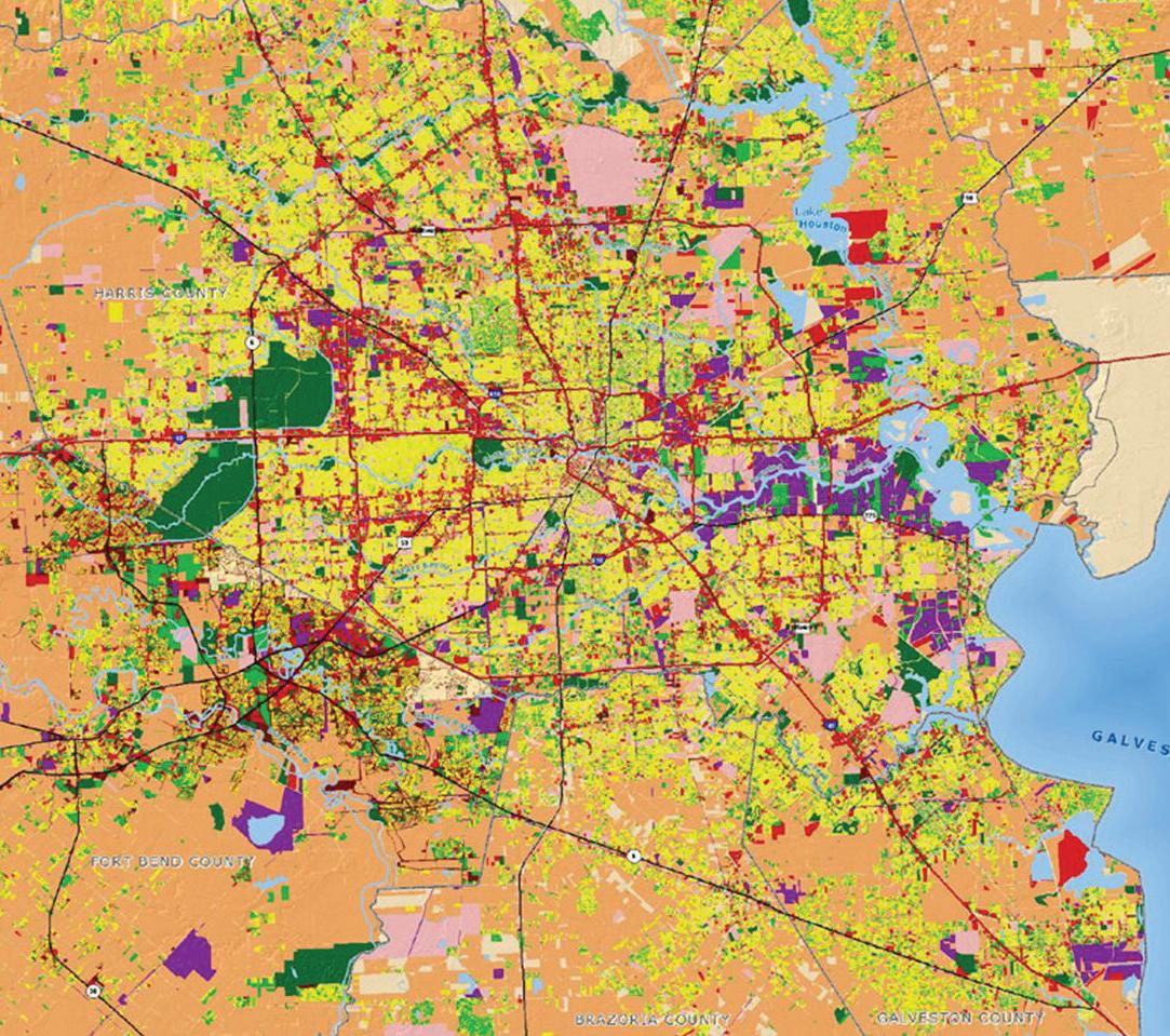
Commercial Interstates
Industrial/Utility/ROW
Residential
Farm Ranch Lands
Other land uses (e.g. schools, hospitals)
Parks, Reserves, Recreational spaces
Vacant
Undevelopable
Undetermined Land Use
State Highways
Other Roads
County Boundaries
Major Rivers & Bayous
Water
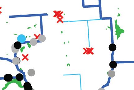
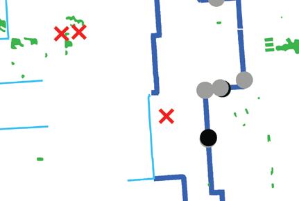
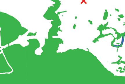
Flood Risk: Composite Map The map shows the distinct elevated risk faced by communities along the Ship Channel. Past storm events have triggered flood emergencies throughout vast areas of East Houston and Harris County, an intersectional risk that remains very high despite efforts post-Hurricane Harvey.


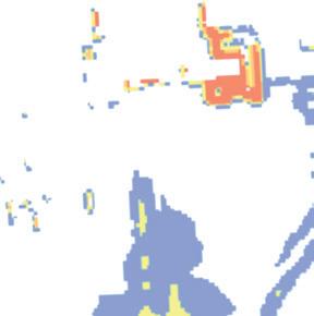
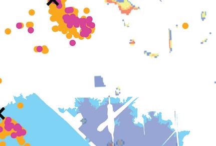

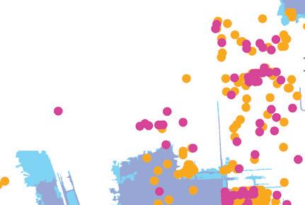
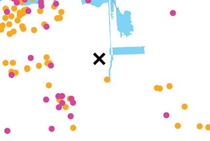
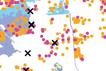
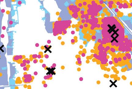

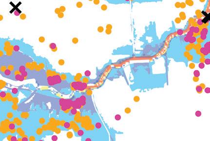

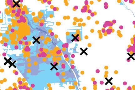
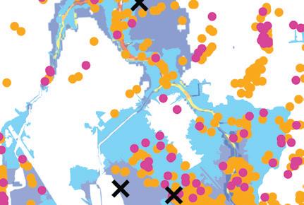
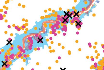

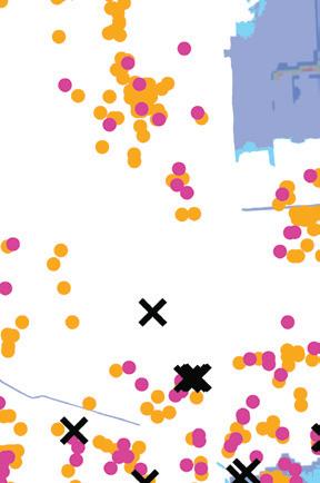
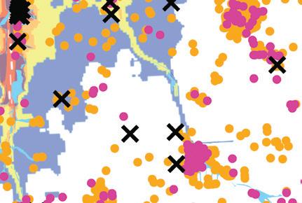
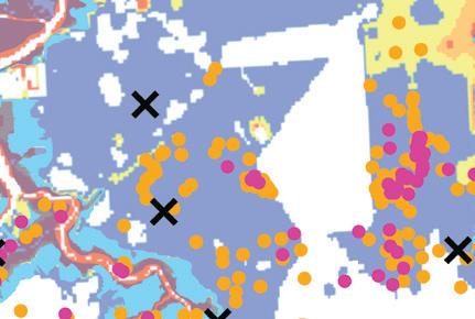
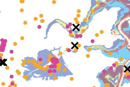
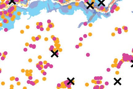
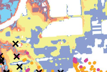
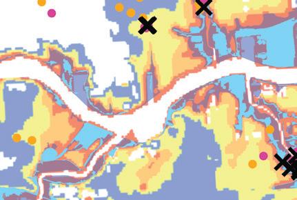
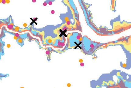
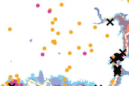
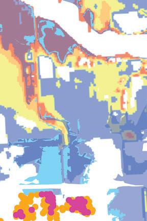
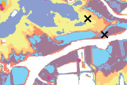
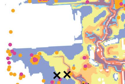
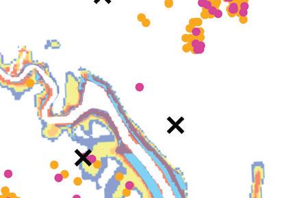
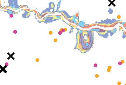
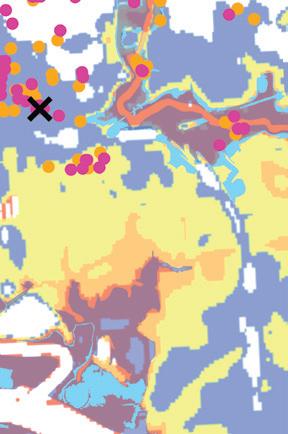
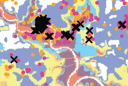
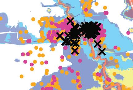
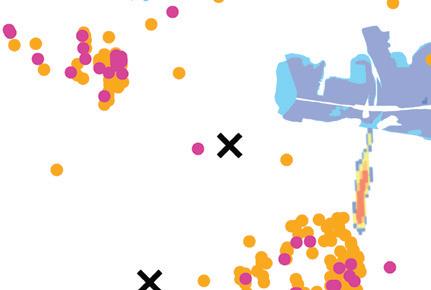

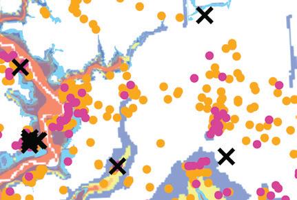
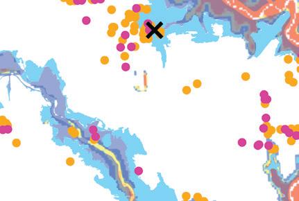
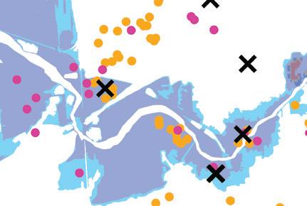
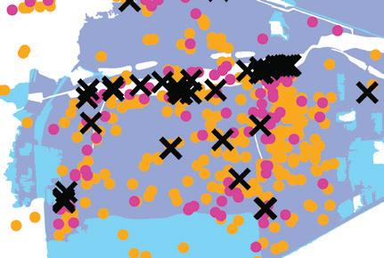
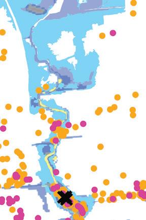
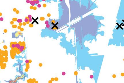
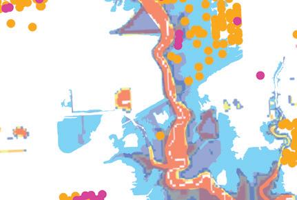


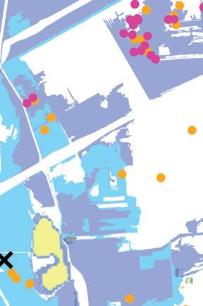
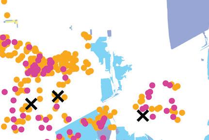

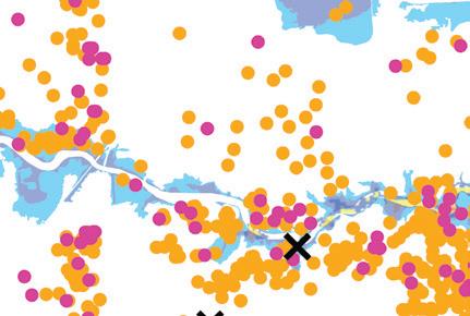
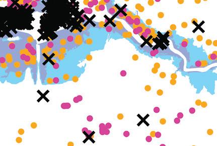
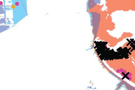


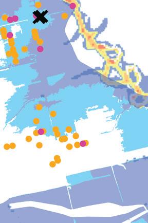
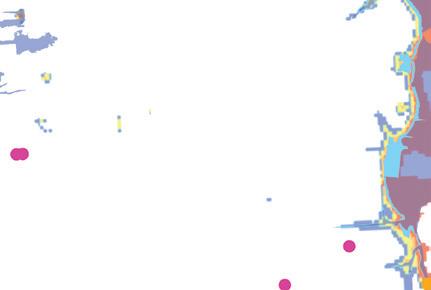
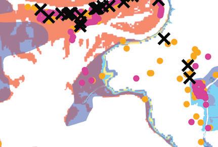


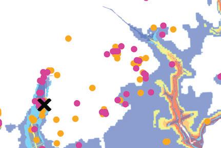
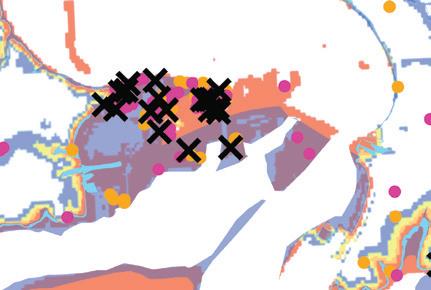

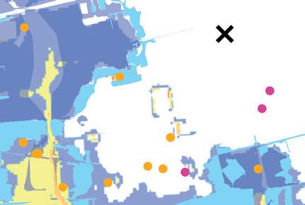
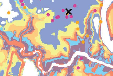

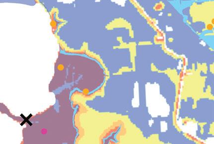
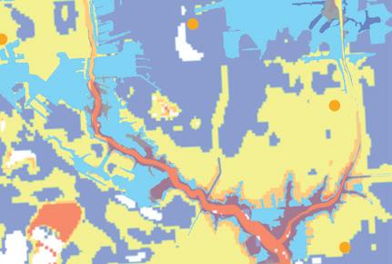

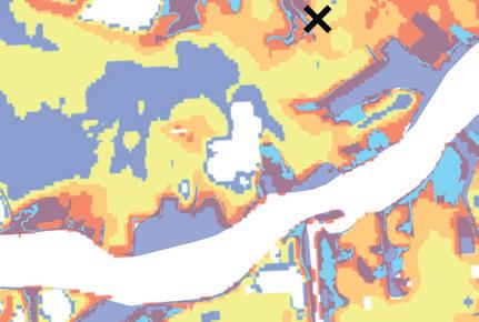
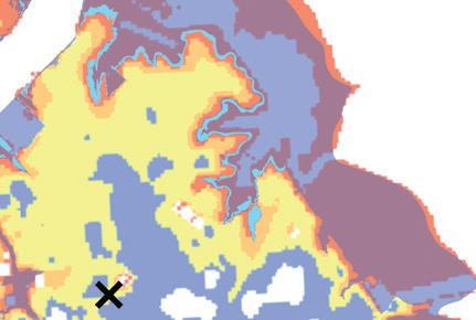
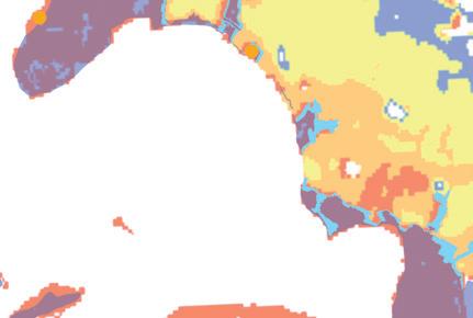
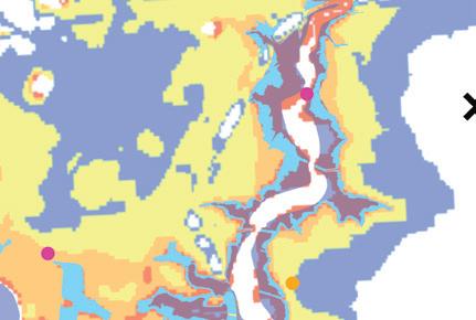
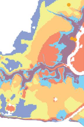
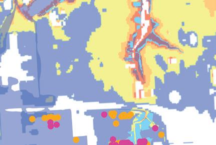
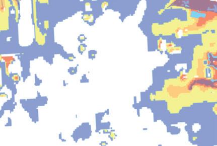

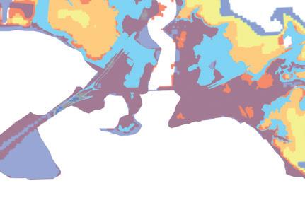
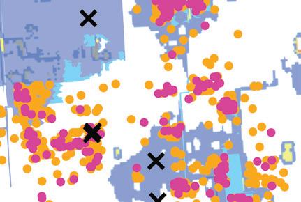
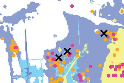
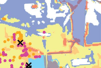
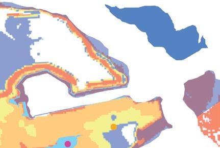


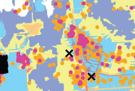
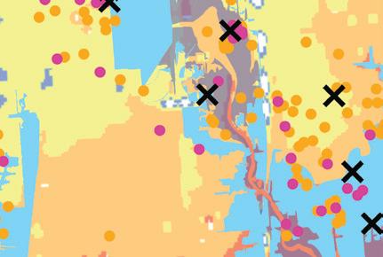
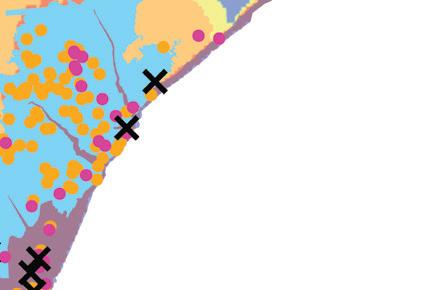
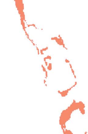
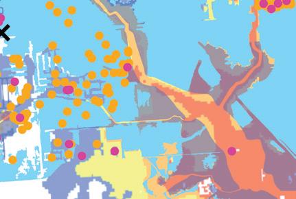
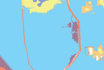
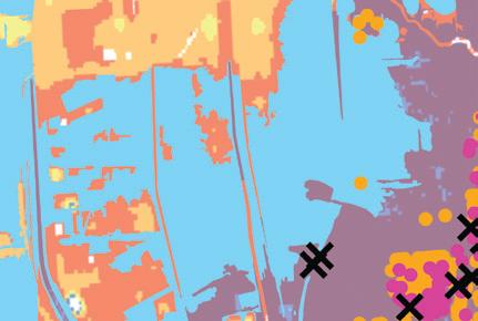

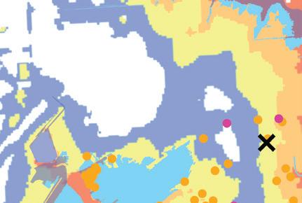

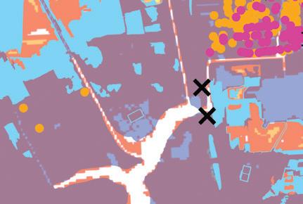
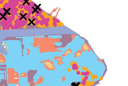


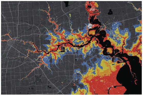
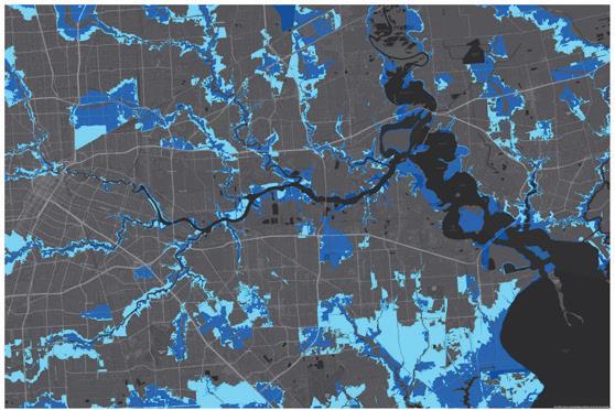
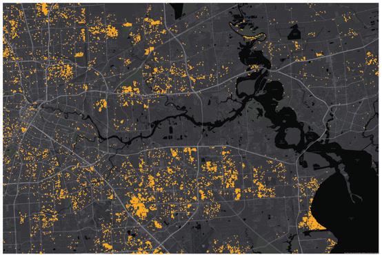
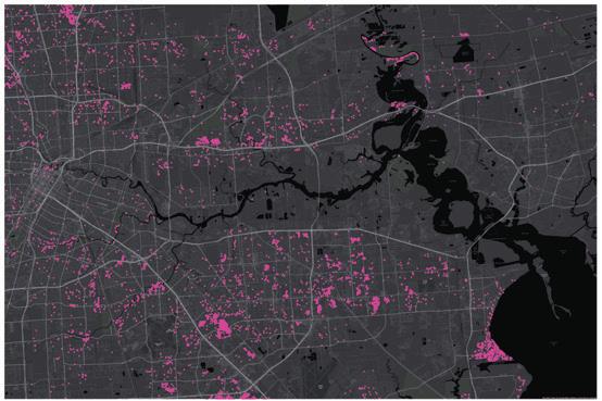
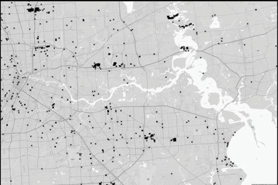


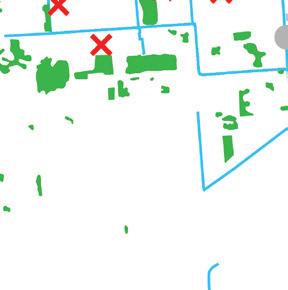
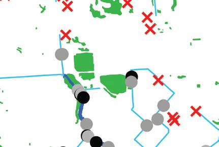
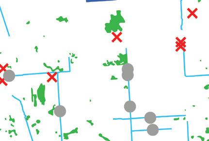
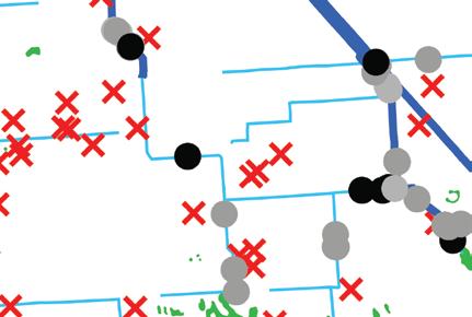
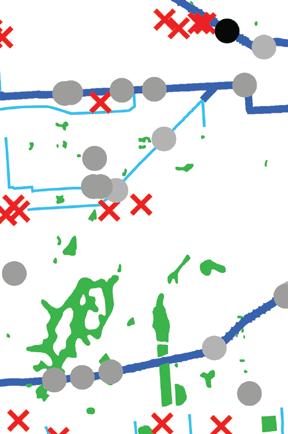
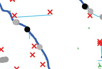
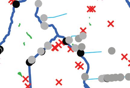

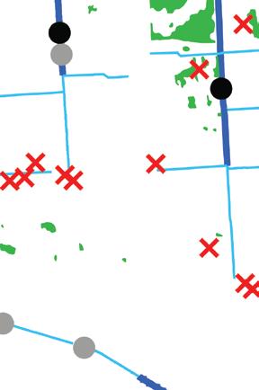


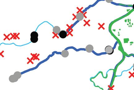
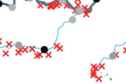
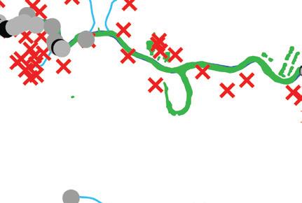
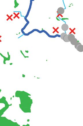
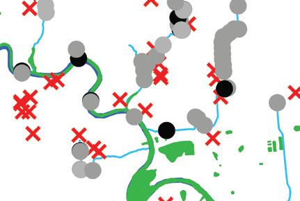
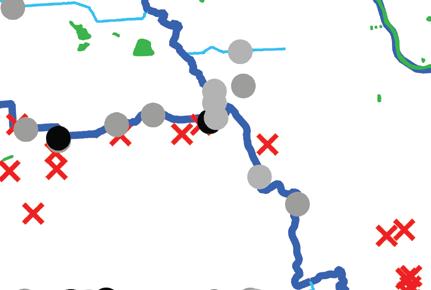
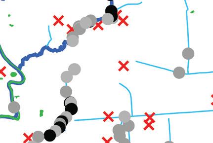
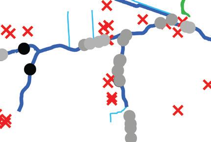
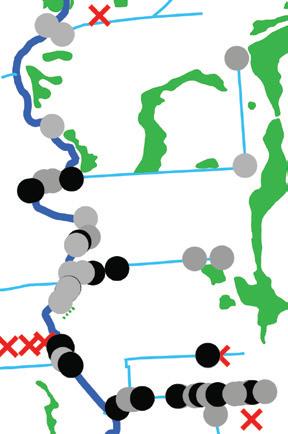
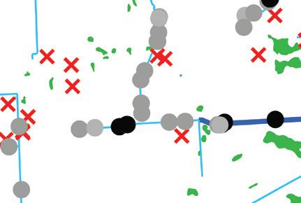
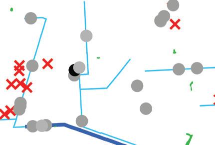
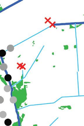
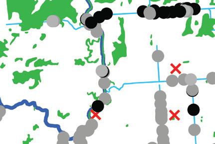
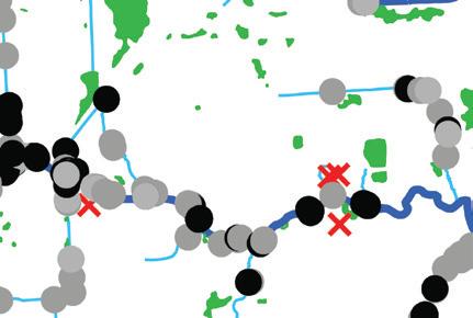
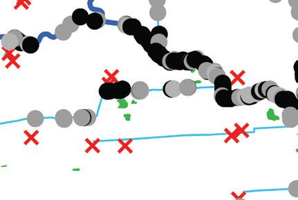
The map shows that risk factors are often layered and concentrated along bayous, wetlands, and waterways. These intersecting risk factors bolster the necessity for robust, maintained public drainage infrastructure.
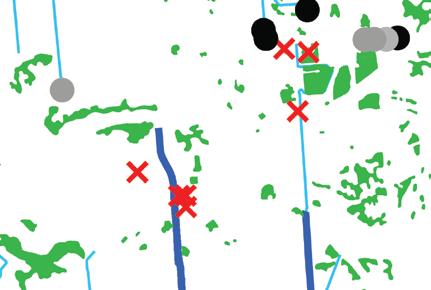
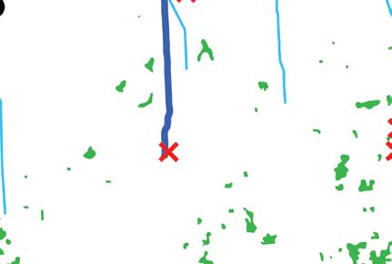
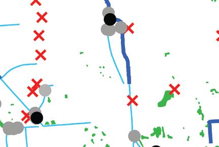
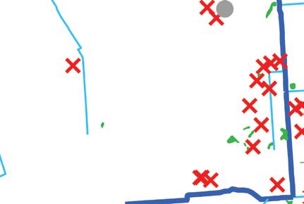
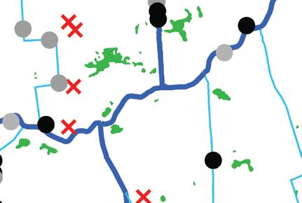
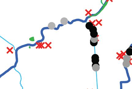
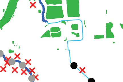
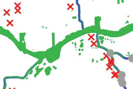

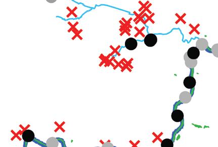
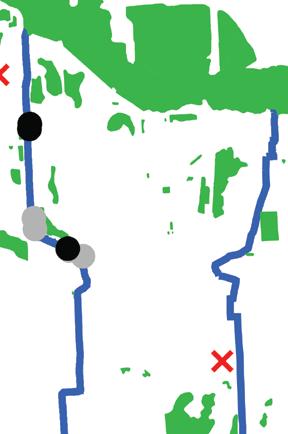
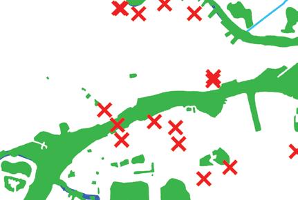
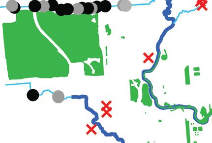
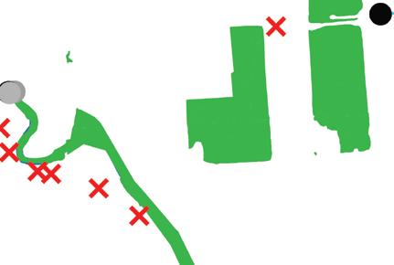
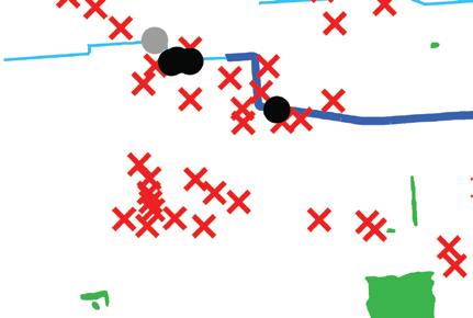

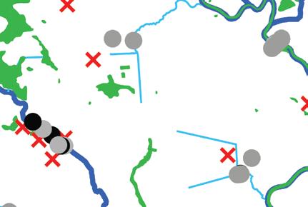
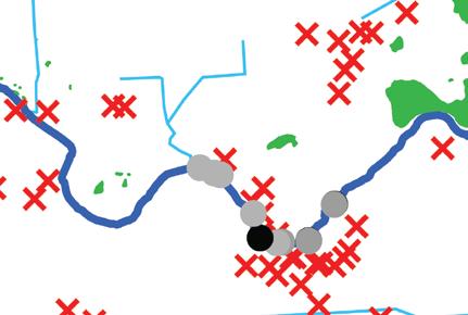
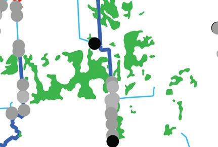
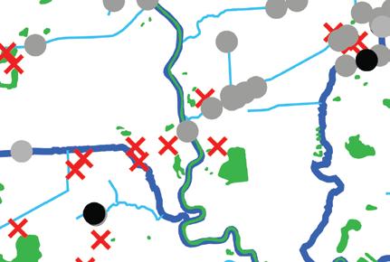
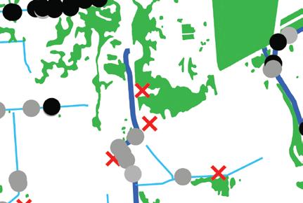
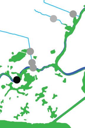
01: Existing waterways and wetlands in Harris County.
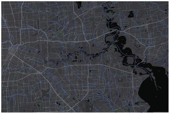
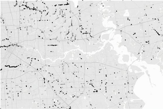
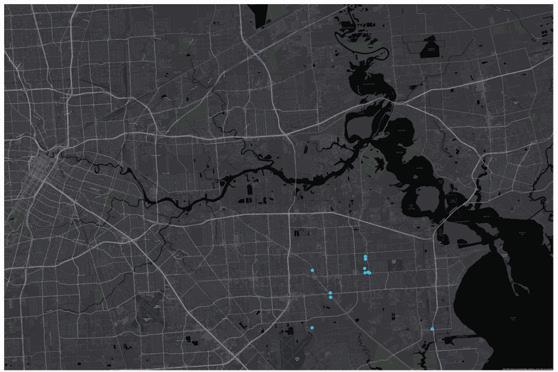

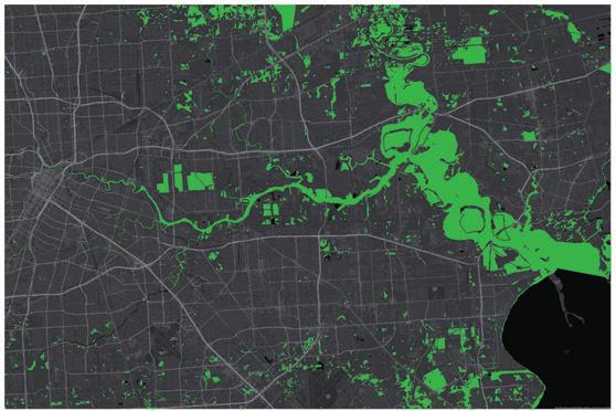


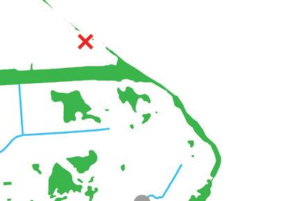
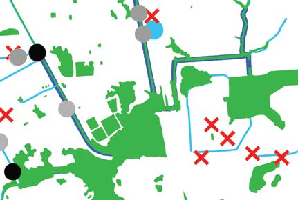

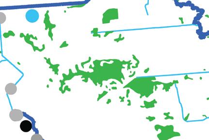

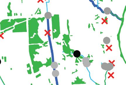
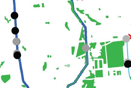


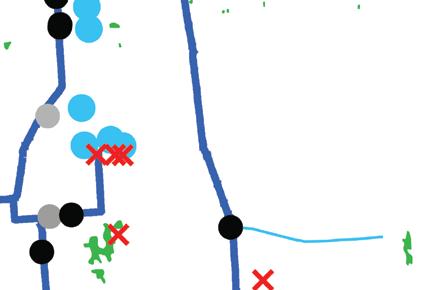


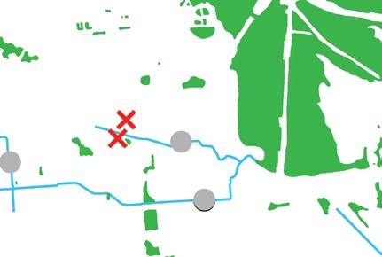

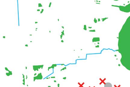
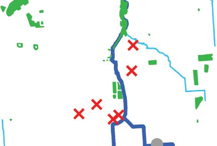
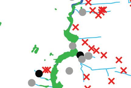

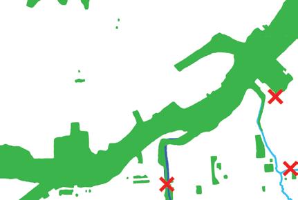
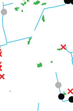
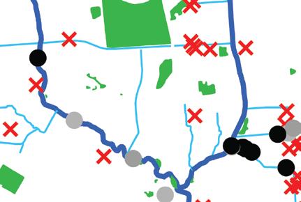
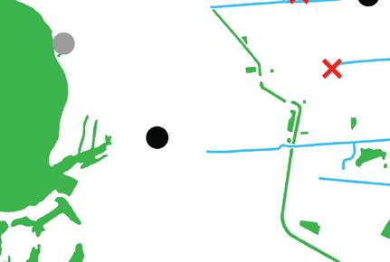

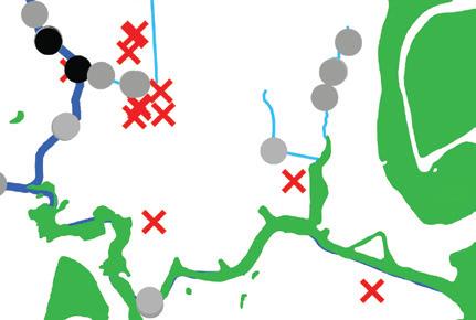
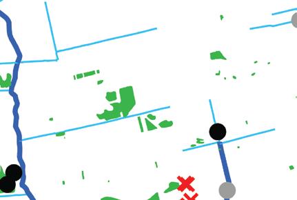
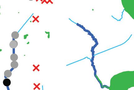
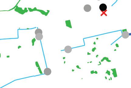
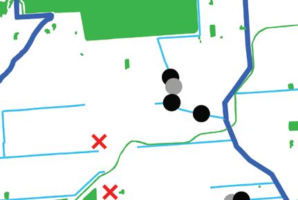
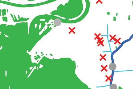
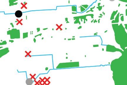
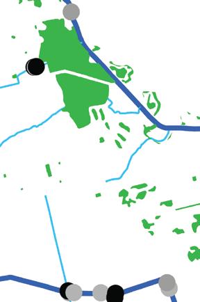
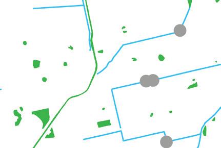
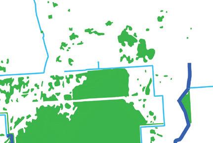
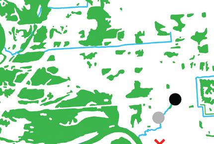
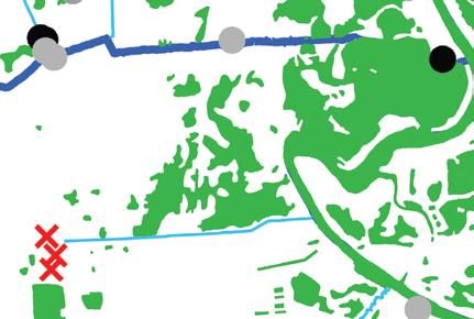
02: The list of endangered species includes 2 amphibians, 16 birds, 3 fish, 5 mammals, 7 reptiles, and 13 plants.

03: Debris and erosion after a catastrophic storm event can clog storm drains and block roads.
04: Many hazardous material sites are within high-risk areas for flooding and near wetlands.
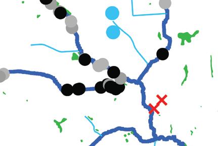
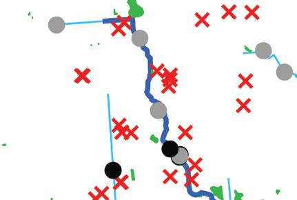

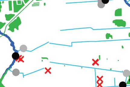
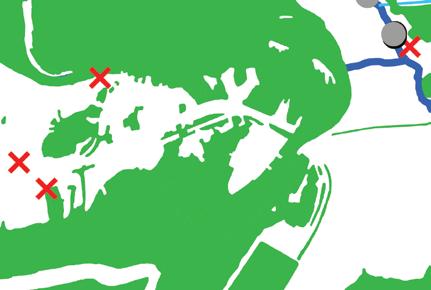
05: Streams and bayous that are part of the stormwater runoff management and sewer system of the county.

Despite its inland location, the Houston Shipping Channel has become an infrastructural behemoth thanks to massive dredging projects as well as its location near the oil fields of Texas. The Channel is now a pivotal hub in the US economy and contributes to over one million jobs in Texas alone. The Ship Channel Complex, according to the Port of Houston, is the first-ranked port in foreign and domestic waterborne tonnage, totaling over 276 million tons of imports and exports in 2020. The scale and magnitude of this industrial center is difficult to comprehend.
The Economy team sought to map Houston’s role in the global network of trade and transport, understand the systems that underlie the site’s current economic activities, and plan out the local spatial impacts and opportunities that come with the energy transition and the circular economy. As the global economic system shifts from fossil fuels in response to the climate crisis and towards principles of circularity, the impacts on Houston will be significant. The analysis documents the broad range of existing land uses that border the channel and then places them on a drawdown-scenario scale that predicts when and where land use changes are most likely to occur.
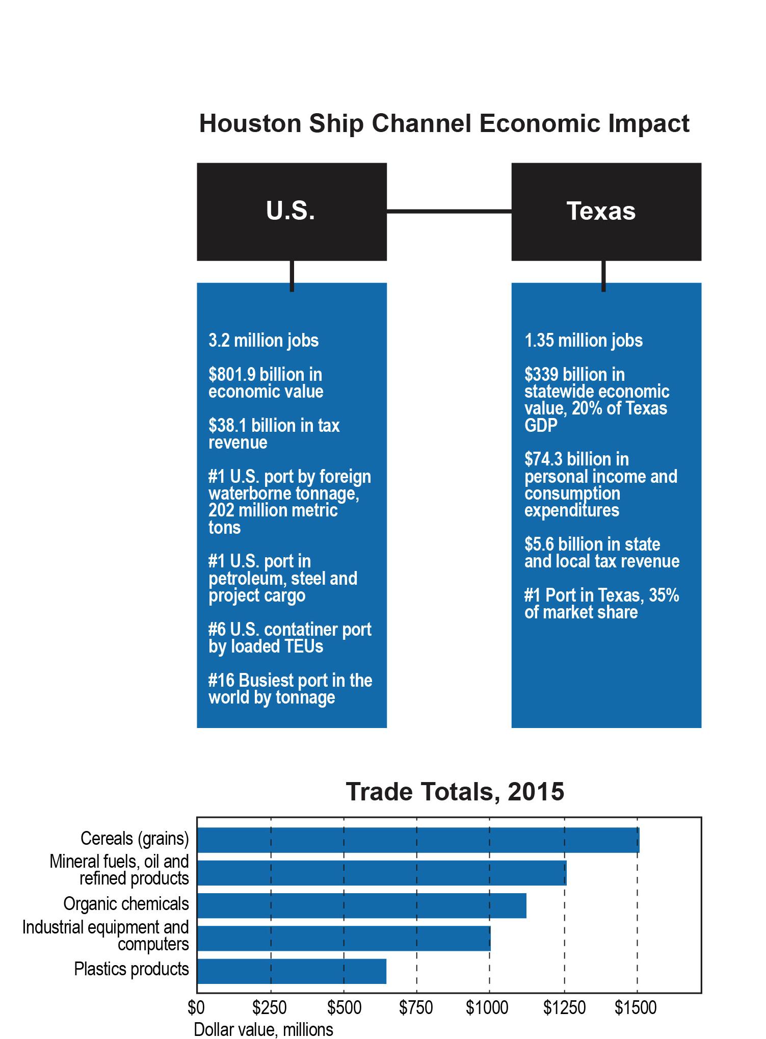
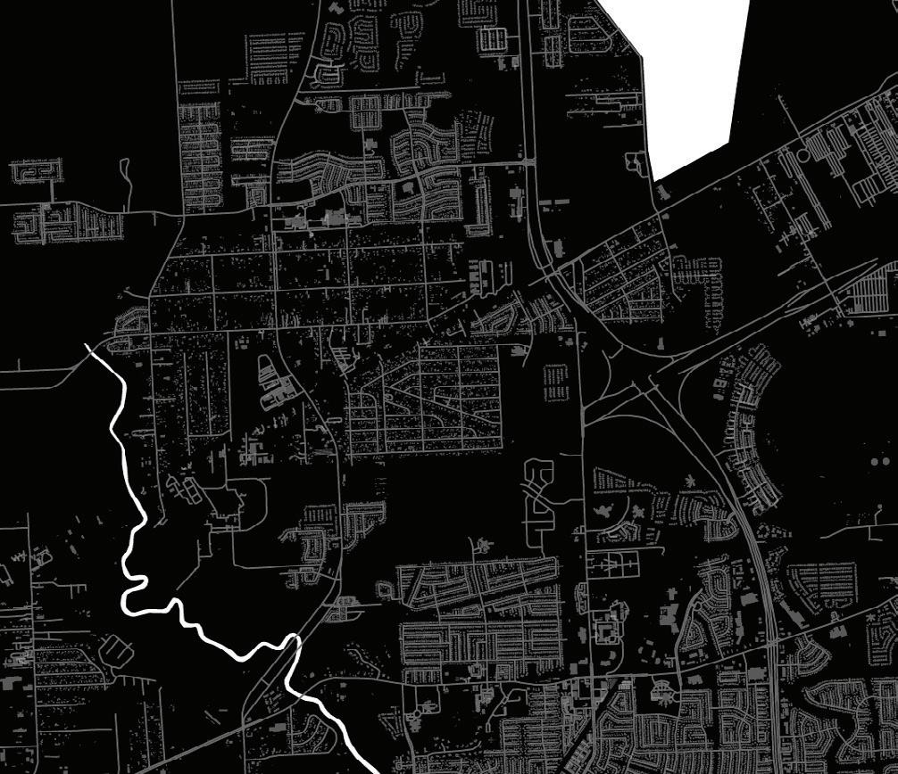
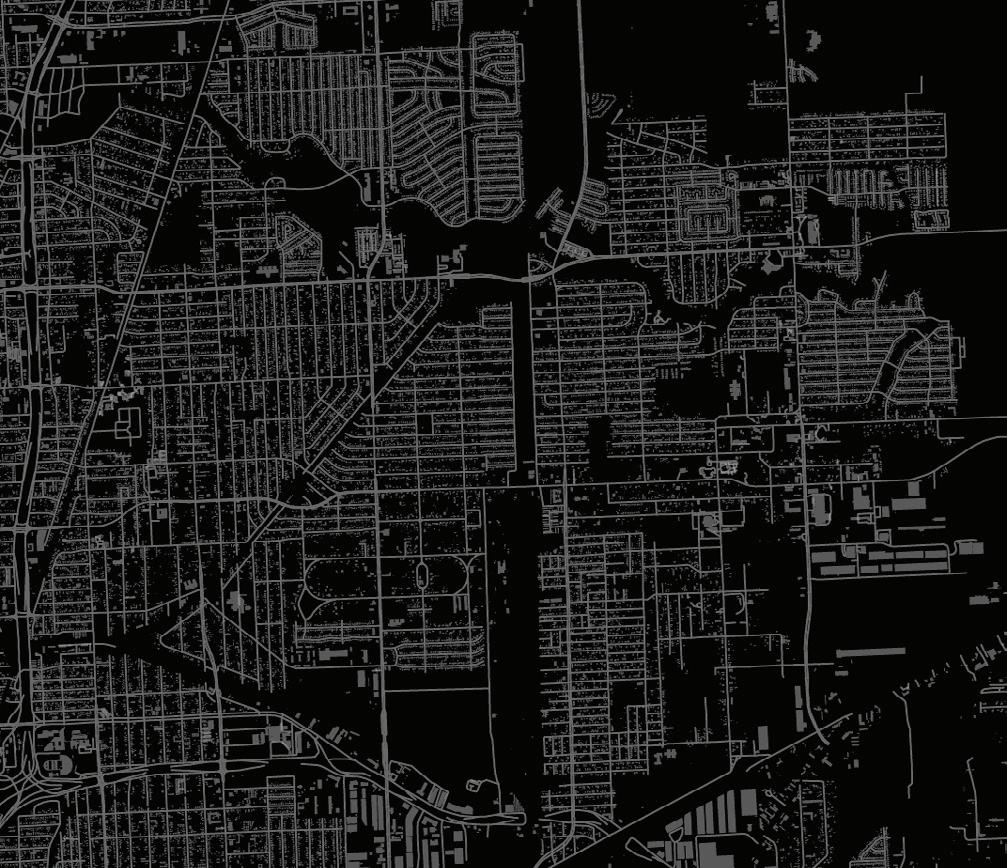
The industrial complex along the Ship Channel is the largest in the Americas. While oil, gas production, and refining is dominant, the Channel houses dozens of other industry types.

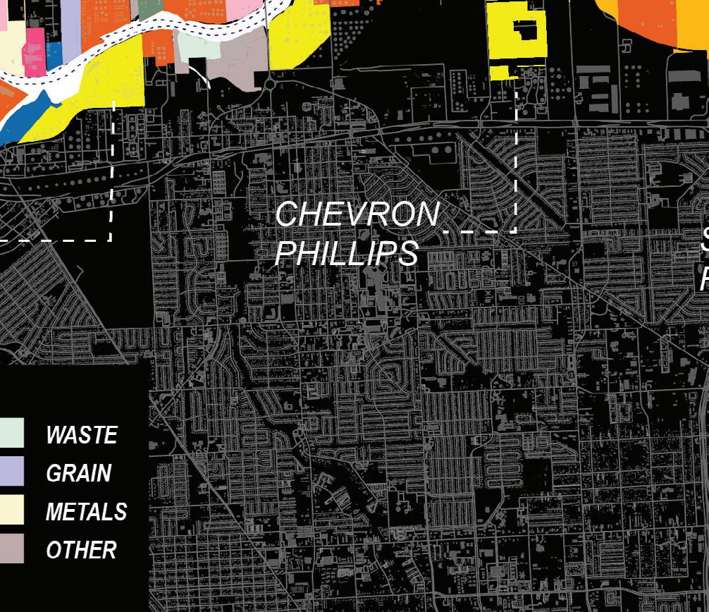
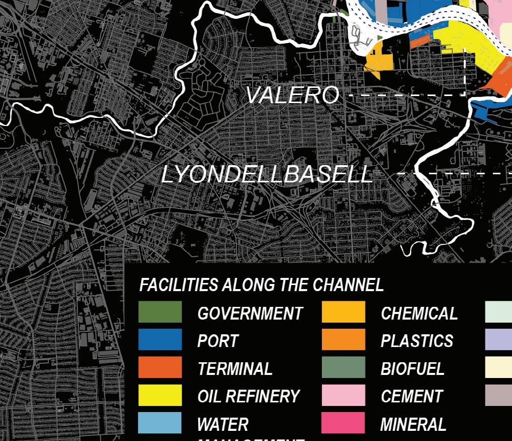
Ship Channel Industries
re commoditia sus aut ut id eveles autestrum quatiur re vent qui doleni reres.
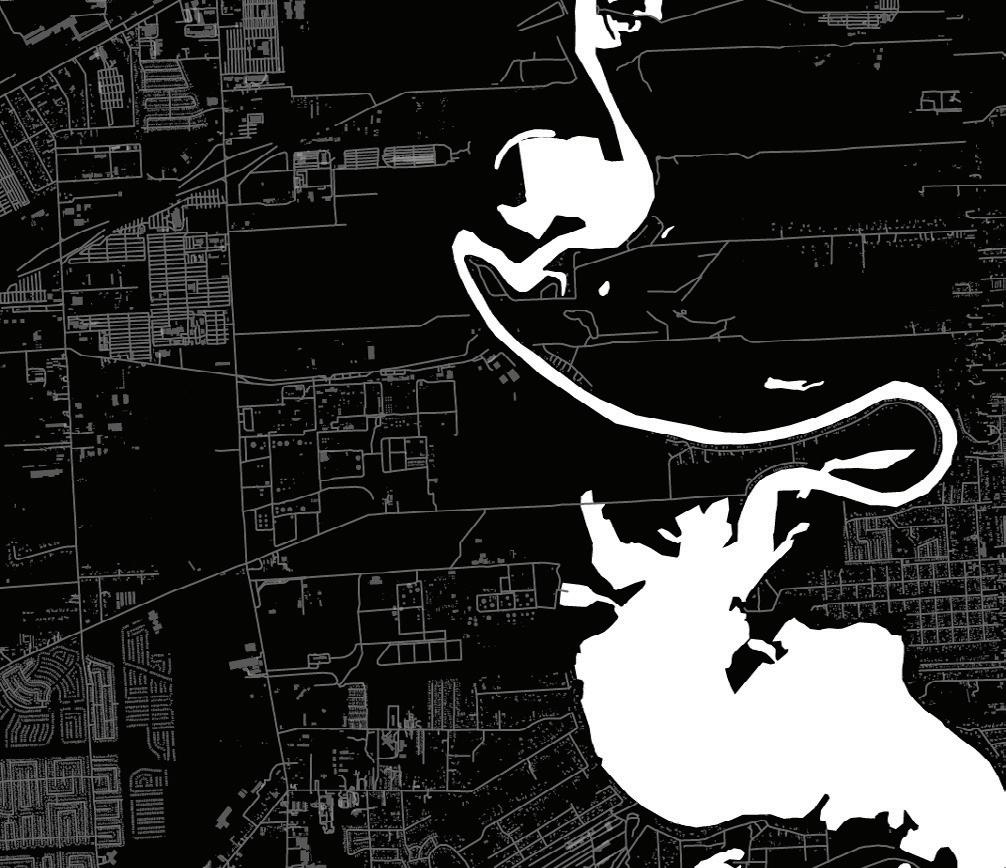

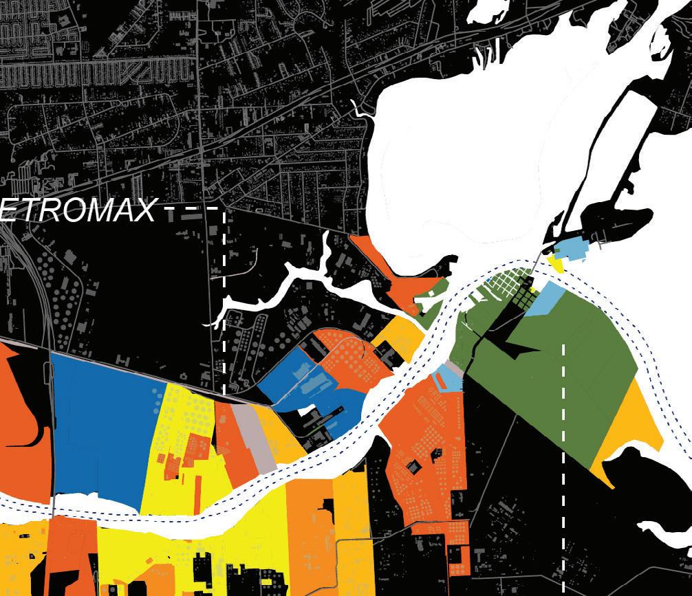
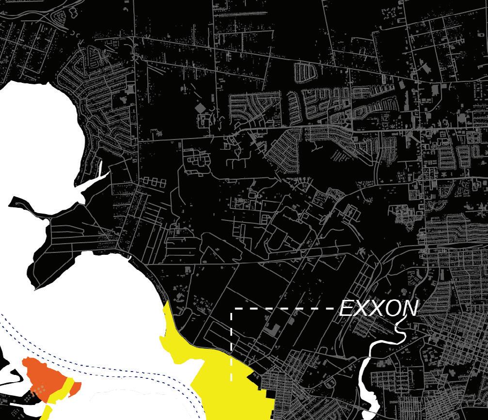
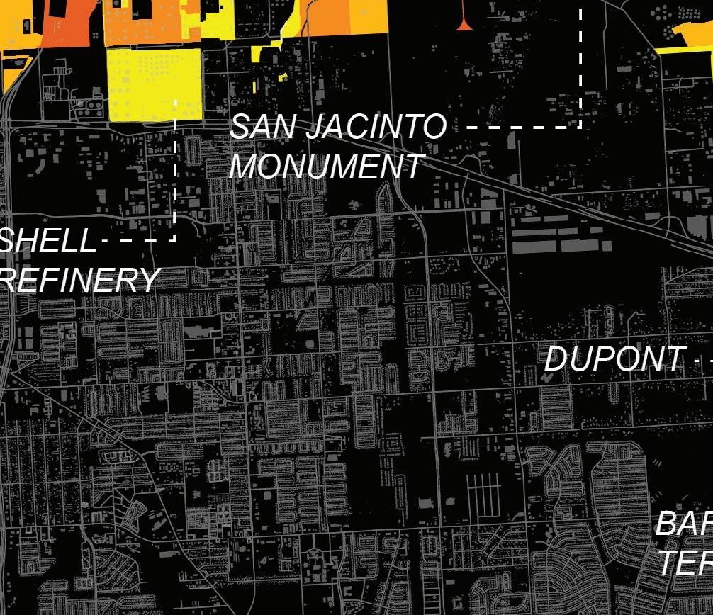
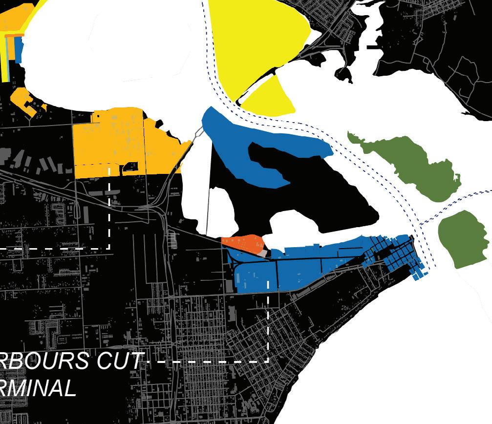

Drawdown Scenario Our drawdown scenario proposes an ambitious thirty-year timeline to phase out fossil-based, carbon-intensive, and polluting industrial facilities.

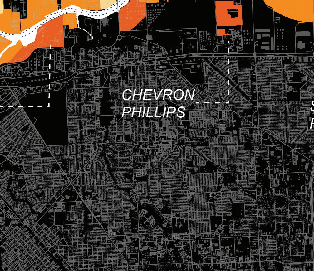
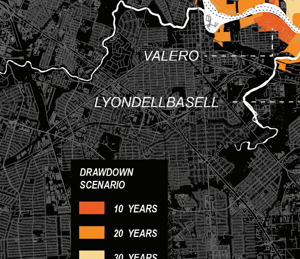
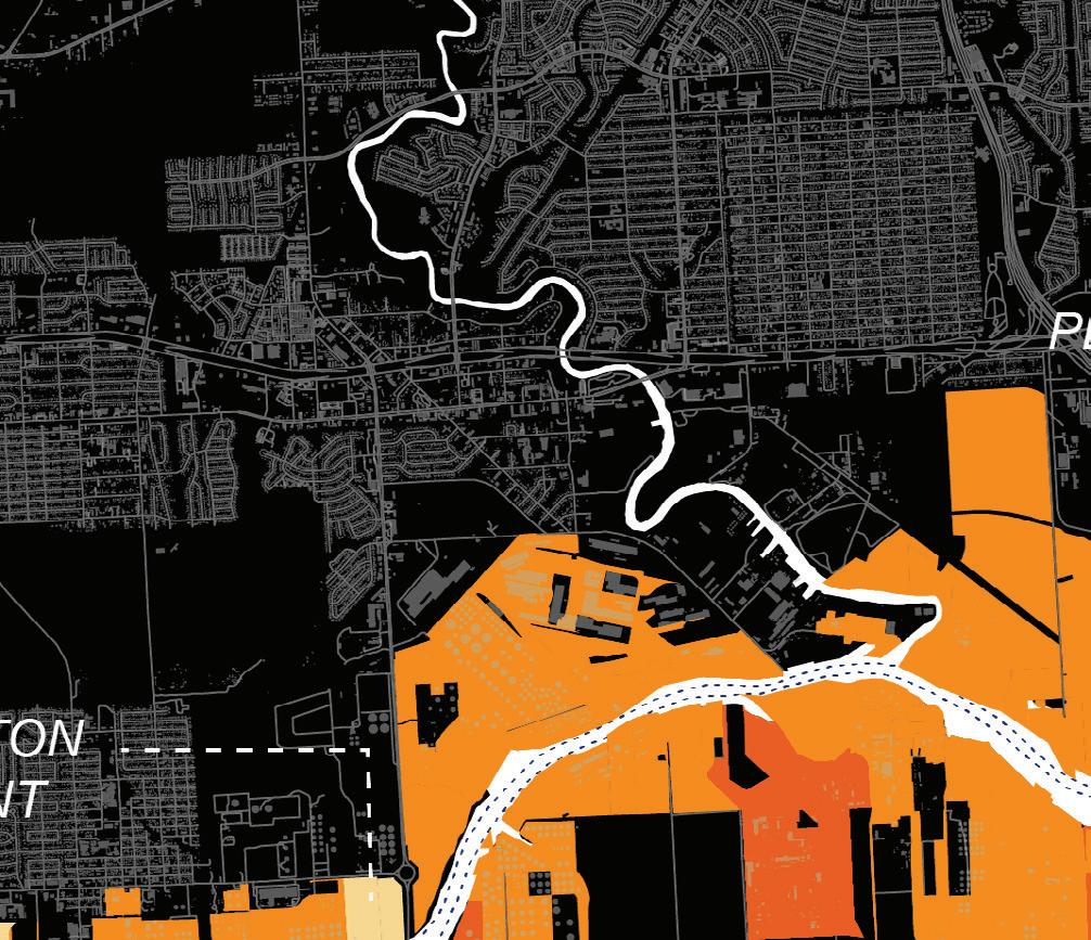
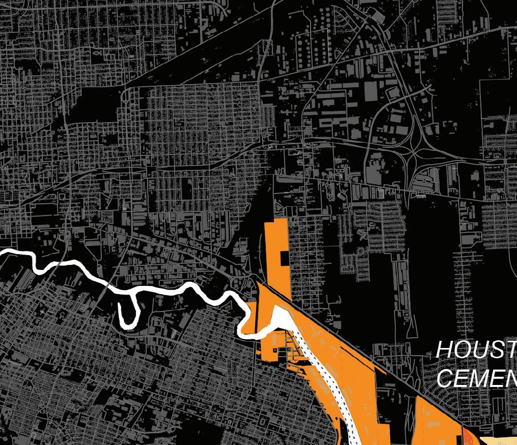


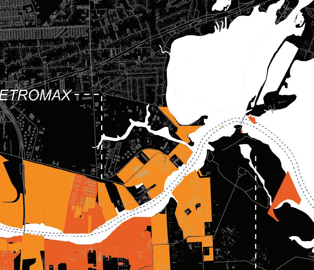
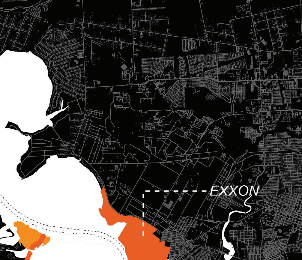
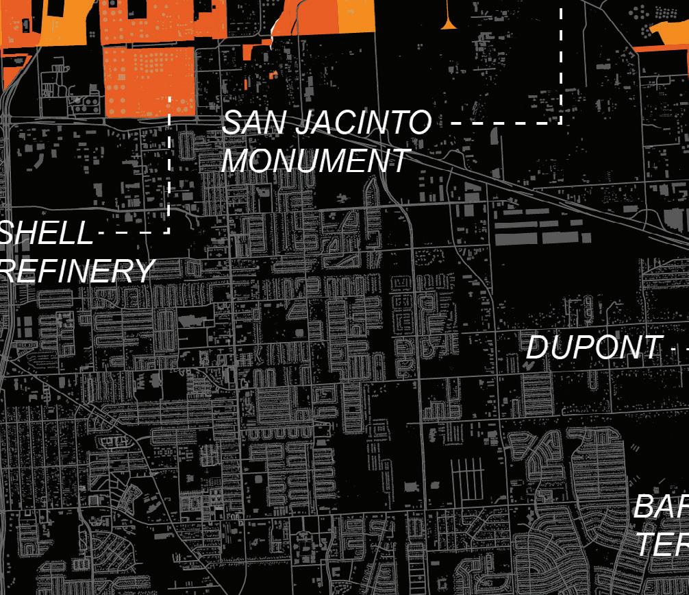
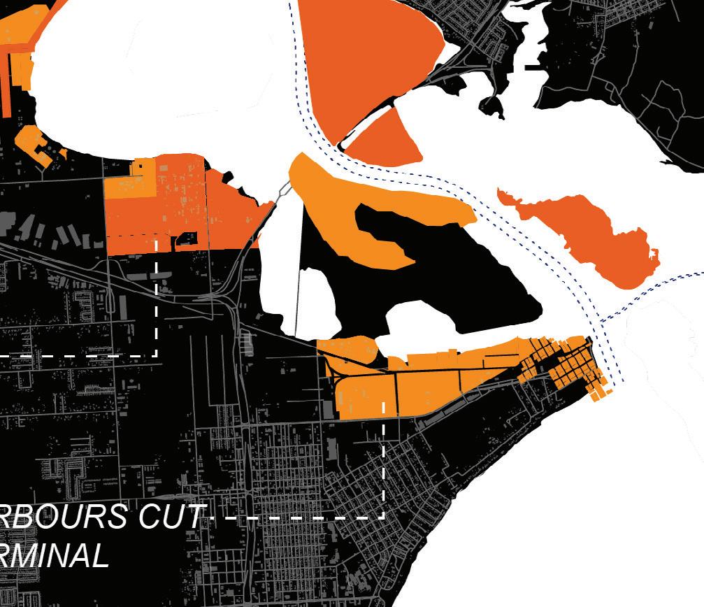


Following the Research phase, pairs of students engaged in a speculative two-week design charette exercise to synthesize learnings from the research and explode preconceptions about the potential magnitude of change possible. Asking “what if...?” based upon a particular, or sometimes extreme factor, these scenarios form a preliminary investigation into questions later expanded on in the full-term projects.

The “What If?” scenarios served as a form of “research by design” in which design tools such as spatialization, imagination, and visualization were used to explore the behavior of, and interdependencies between, urban systems based on various factors. In constructing these scenarios, students used design to understand the potential magnitude of change, its spatial implications, its impact on other systems and various urban assets, and the opportunities that come with it. The following questions served as the driving scenarios of each pair’s investigation:
• What if Houston’s growth in the next fifty years were focused on the Ship Channel region?
• What if Houston became car-free by 2050?
• What if fossil fuel activities were required to draw down in Houston before 2050?
• What if Houston were required to prioritize healthier soils?
• What if Houston learned to live with the water?
By integrating landscape, architecture, and planning tools, the city could embrace its natural features that allow water in, while protecting its people and landscapes from the most catastrophic impacts of pluvial events. In our proposal, the city would do so by redesigning vulnerable spaces as “detention basins” to store significant amounts of water and re-distribute it through Harris County’s stormwater manage-
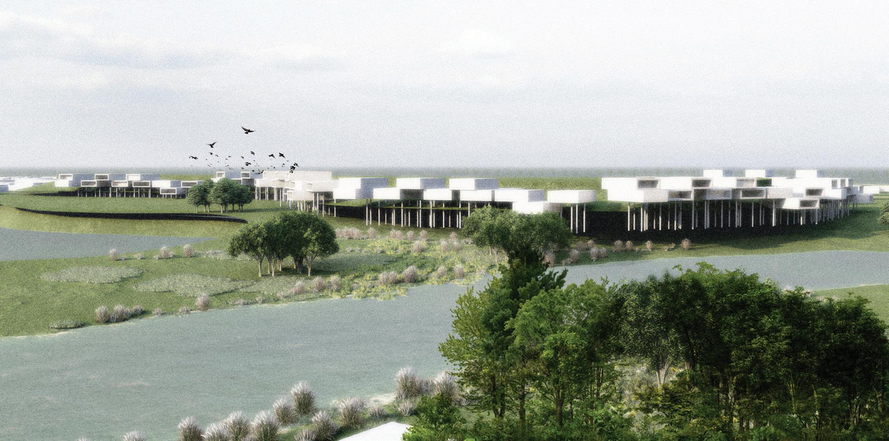
ment systems. This proposed redesign should also include new residential prototypes, tool kits, and strategies to live with and over water. Funding should be a combination of public bond financing, federal government funds, and private funding from the varying industrial actors in Houston that have contributed to the increase in impervious surfaces throughout the city.
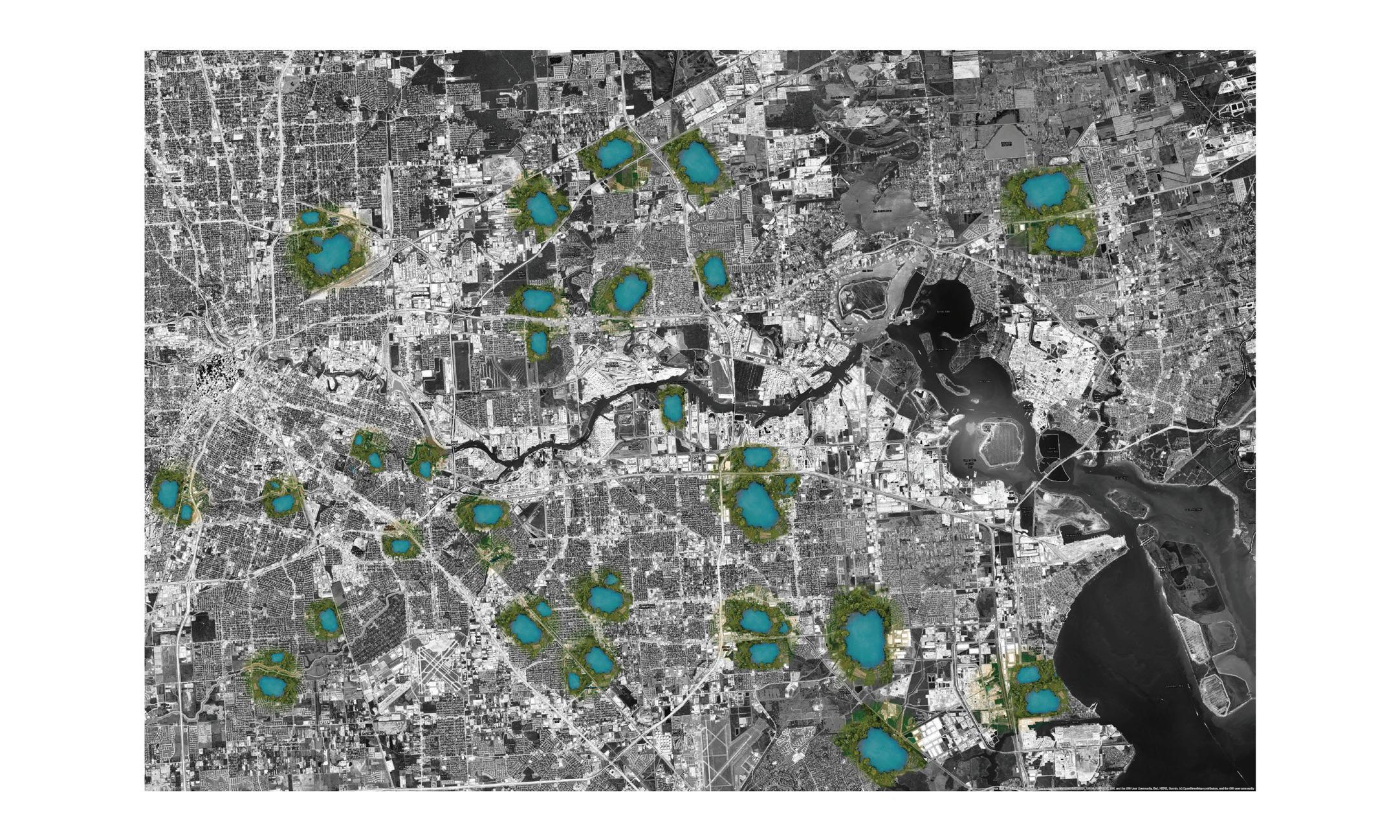
Through researching soil compaction, Superfund sites, and traffic levels and proximity, we found that much of Houston is at risk for groundwater pollution, soil compaction, and polluted soils. Our proposition uses the health of the soil as a catalyst for energy transition and ecological transformation. The framework provides a series of tools such as constructed
wetlands and productive crops as well as community forests and prairies, using plantssuch as the canola flower (brassica napus)best suited to phytoremediation. These interventions at scale would provide protection and remediation functions while beautifying sites across the city.
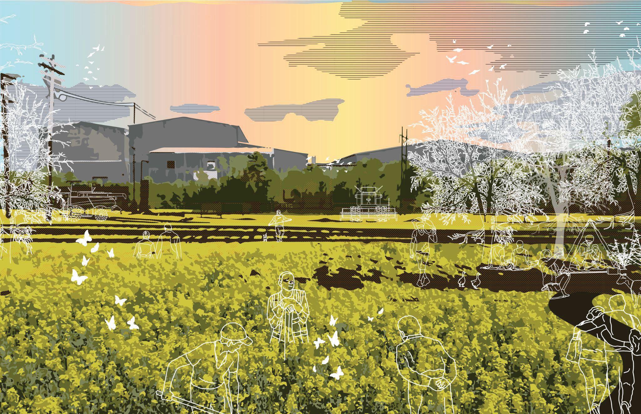

What if fossil fuel activities were required to draw down in Houston before 2050?
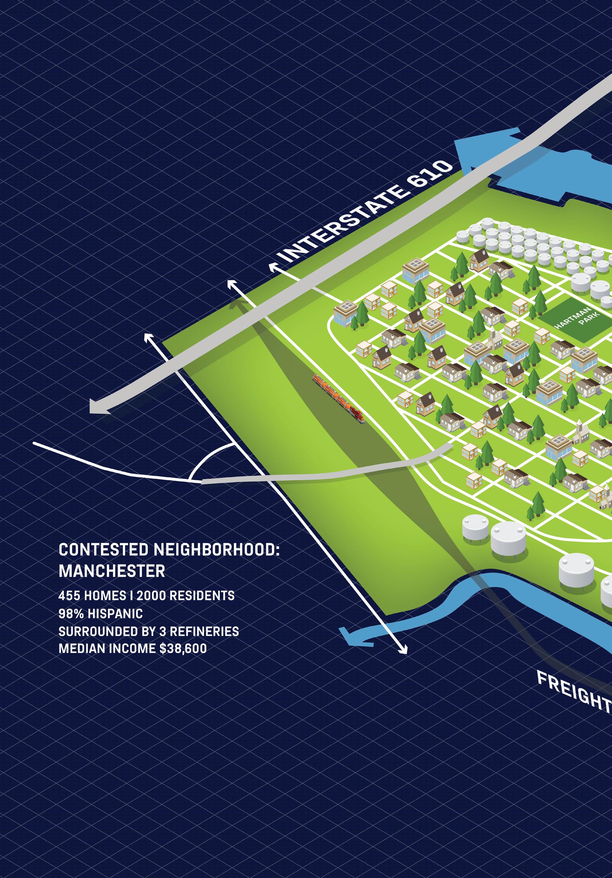
TR Radhakrishnan, Skyler Smith
The energy landscape is dominated by fossil fuels, which can make it hard to imagine a future without them. Houston is exemplary in this regard; the self-titled “Energy Capital of the World,” its economy has been reliant on corporate fossil fuels since the turn of the twentieth century. By framing the ques-
tion through necessity, it becomes easier to imagine this future. Our proposal centers on a “just transition” for the contested neighborhood of Manchester, often the poster child for environmental racism, to study its relationship to energy networks, ecological systems, and emerging circular economies.
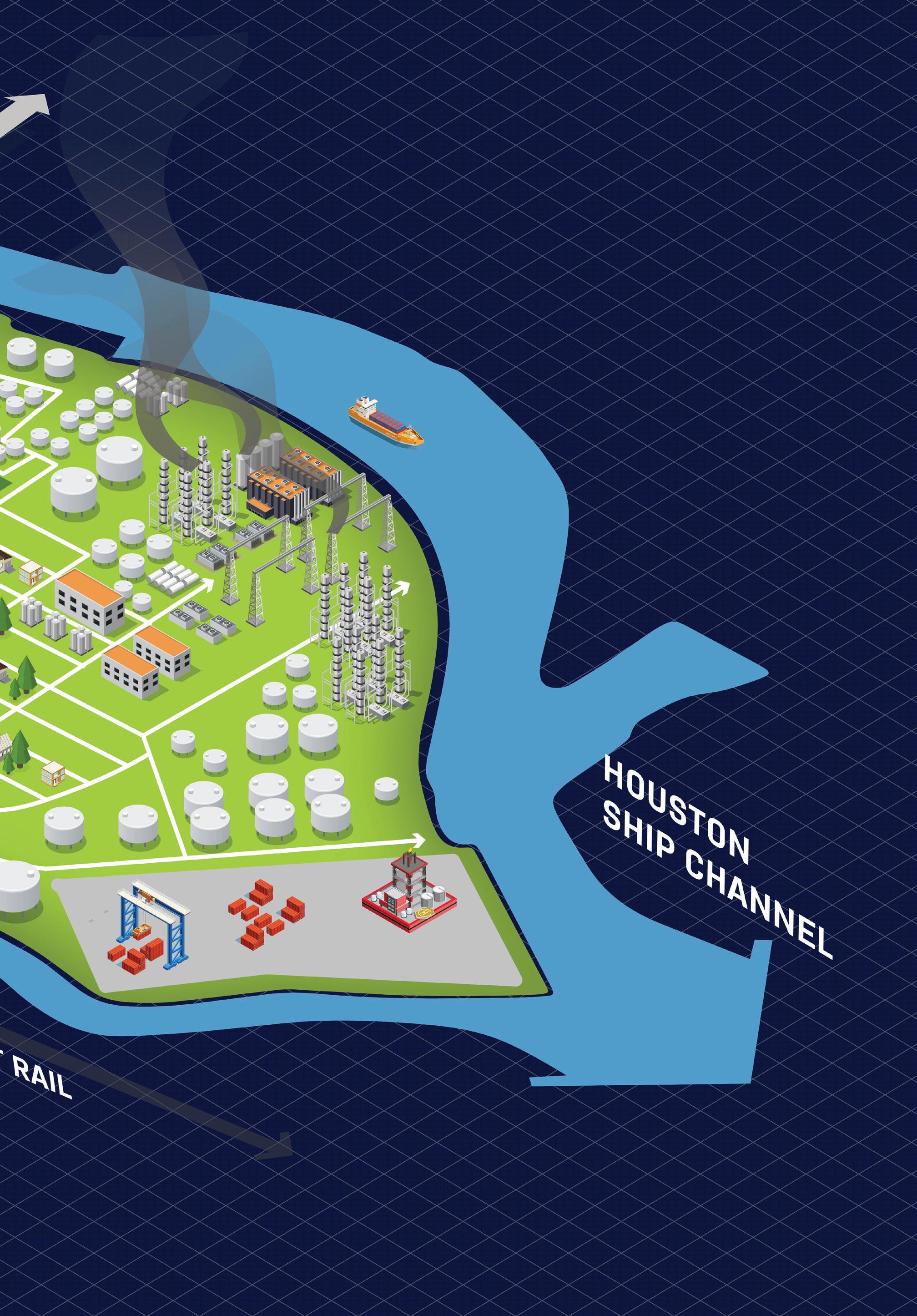
What if Houstons growth in the next fifty years were focused on the Ship Channel region?
Christopher Ball, Grant Fahlgren
TODAY
Metro Population (2020): 7,122,240
Ship Channel Region Area: 800 km2
S.C. Region Population (2020): 820,000 (est.)
Population Density (2020): 1,000 people per km2
Floor Area Ratio (2020): 0.1
2070
Metro Population (2070): 15,090,000 (+7.5% per 5 yr)
Additional Population (2070): +7,960,000
S.C. Region Population (2070): 8,780,000
Population Density (2070): 11,000 people per km2
(Comparable to Brooklyn, NY: 14,100 pers./km2)
Floor Area Ratio (2070): 1.25
In 2024, a devastating stormworse than Hurricane Harveystrikes the Greater Houston area. Municipal, state, and federal governments initiate coordinated efforts to ensure the Ship Channel remains a critical economic base and interchange of trade. With the support of industry and communities, they create a Special Economic Zone to encourage the region’s redevelopment. The zone intends to:
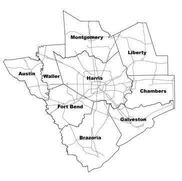
• Ensure the rebuilt port is more resilient to future disasters and risings seas.
• Support an accelerated post-carbon energy transition by Ship Channel companies.
• Leverage population growth and the increased tax base to fund major preventative resiliency projects.
The decision is made to relocate most port facilities further out into Galveston Bay (an already present trend). This thereby permits the remediation and renaturalization of Buffalo Bayou and its reimagining as a high-density mixed-use transit-oriented neighborhood with nature at its core.

Redeveloped Dredge Transit Corridor


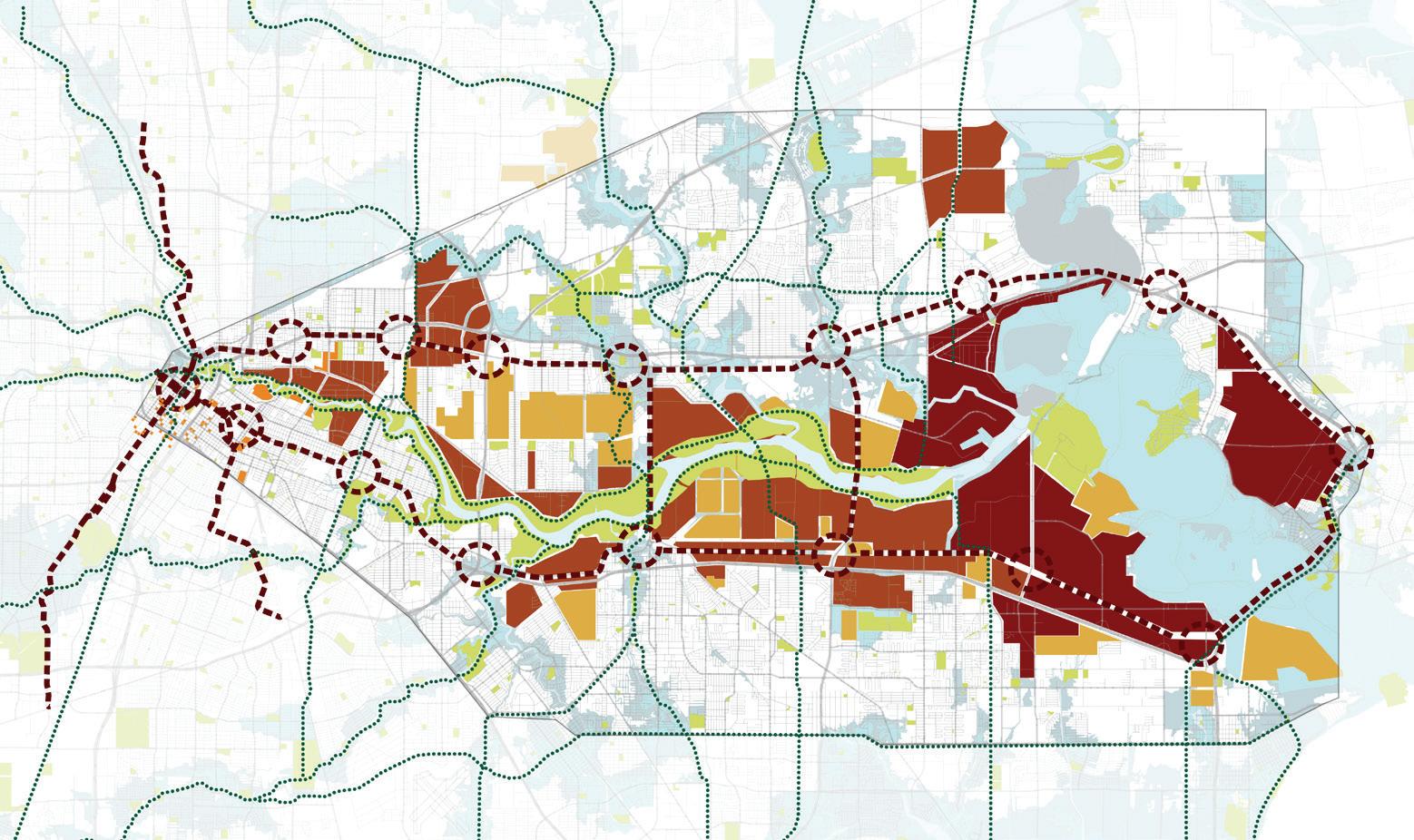
Concentrated Port
Redeveloped Industrial Open Space

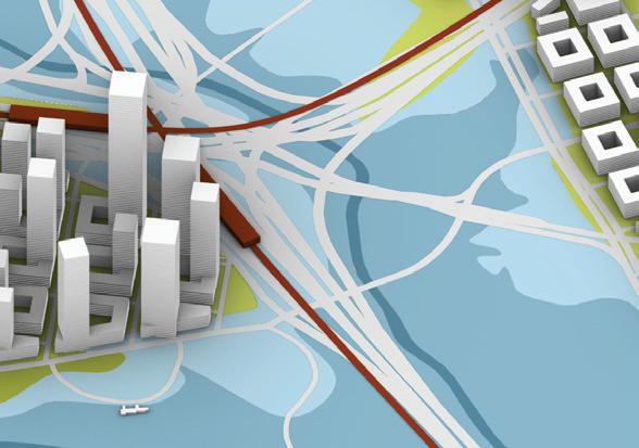


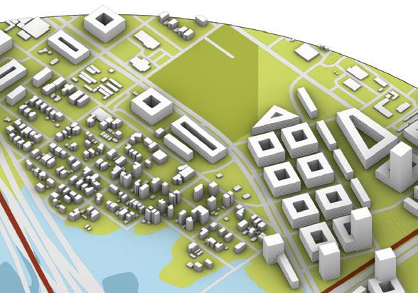
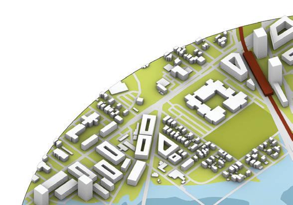

Working in interdisciplinary teams and informed by their “What If?” propositions, students next proposed a brief and chose appropriate sites to develop into projects. Taken together, these designs form a catalog of responses that can stimulate conversation about Houston’s transformation to a climate-resilient and “just city” in a post-carbon world.


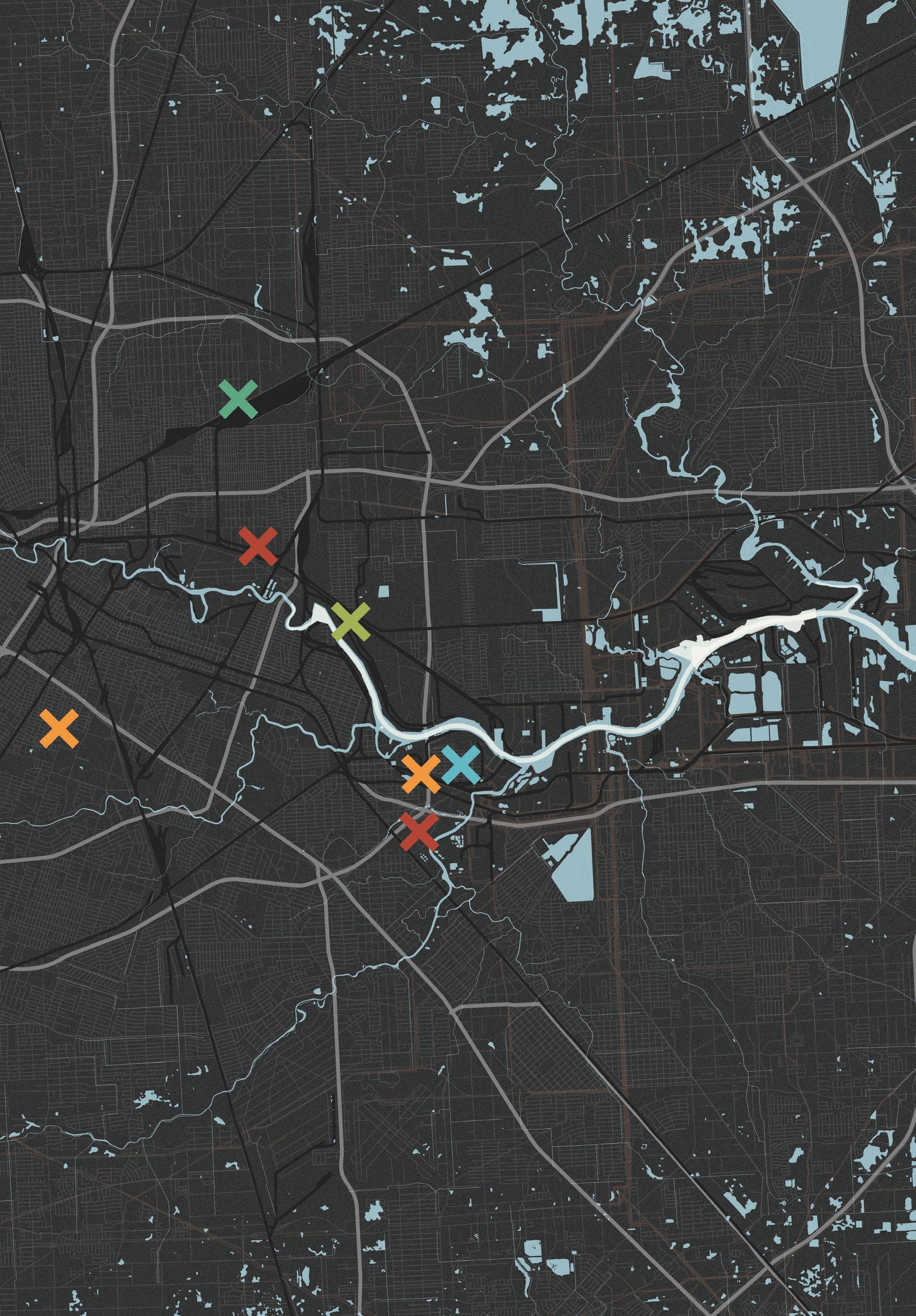
Resilience by Design
Culture Shift by Design
Turning Basin
Adaptation by Design
Reuse by Design
Ship Channel Highways
Roadways


Raillines
Pipelines
Wetlands and Waterways
Activism by Design
Adaptation by Design
Culture Shift by Design
Brays Bayou Buffalo Bayou Sims Bayou Manchester Second Ward Hunting Bayou Pasadena I-610 Fifth Ward Kashmere Gardens Third Ward La Porte / Pasadena I-10 Greens Bayou Galena Park Jacinto City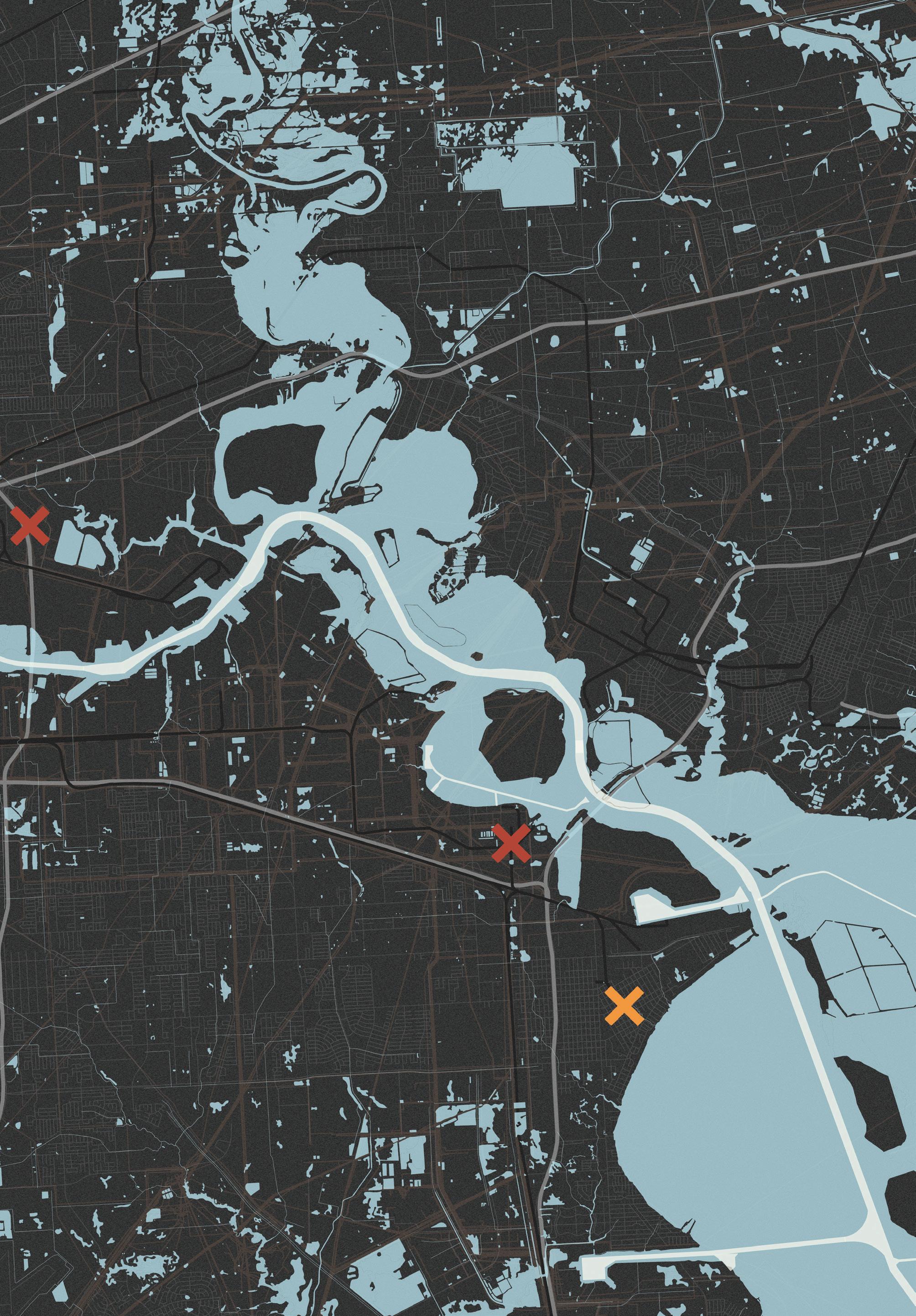


Our project focuses on the neighborhood of Manchester as a case study for a community-built just transition. Through research on community-led tools and interventions, we have identified three projects that incorporate circular economies around food, energy, and waste while building collective power. Our design work focuses on humanscale, practical interventions that prioritize health, care, and regeneration.
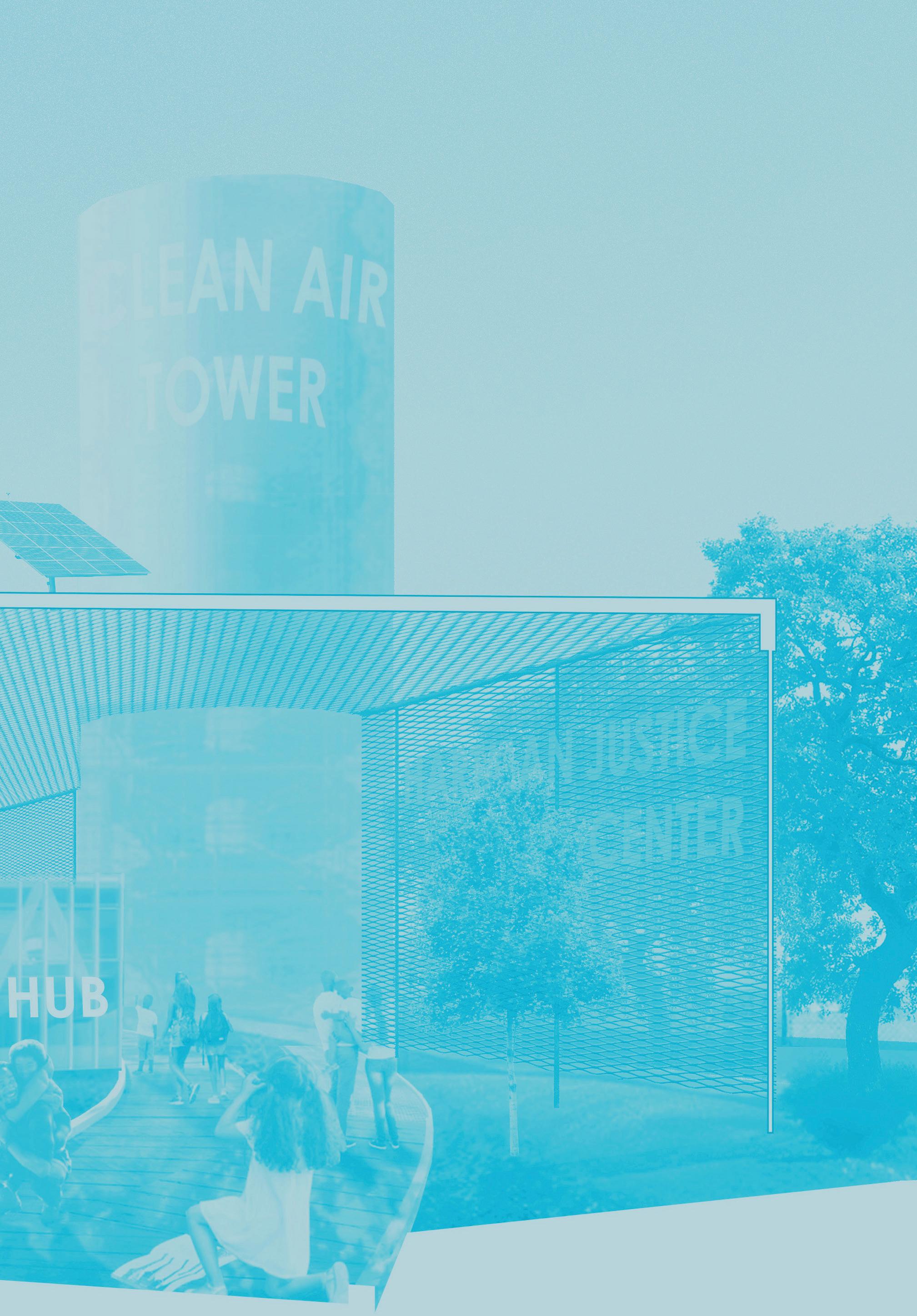
Houston, the “energy capital of the world,” stands at the front line of global energy trends and climate issues due to its high-risk geographic location and deep entanglement with petrochemical economies. The Houston Ship Channel, a conduit connecting the Port of Houston with the Gulf of Mexico, houses the largest stretch of petrochemical facilities in the Americas. While the Ship Channel provides over two million direct and indirect jobs, these industries heavily pollute adjacent communities’ water, land, and air. This creates severely unjust health outcomes and poses immense risk due to storm surge vulnerability.
As the energy transition unfolds, the Ship Channel and its adjacent neighborhoods face immense change. Popular discourse, research, and economic planning seek to maintain and entrench Houston’s identity as the “energy capital of the world.” Our group actively questions this identity and proposes a new paradigm. In a world actively confronting the social and environmental consequences of unchecked fossil economies, is it practical or even ethical to continue to perpetuate this paradigm of energy dominance, resource extraction, industrial density, and persistent pollution? Or is another world possible? We suggest that such a world is not only possible but inevitable. Houston must envision a future of energy independence and circularity rather than dominance. To test these ideas, our team engaged in a research and development phase that explored community-oriented tools to help usher in a “just transition”: a shift from extractive to regenerative energy conditioned by the principles of environmental justice.
“There is no level playing field. Any time our society says that a powerful chemical company has the same right as a low income family that’s living next door, that playing field is not level, is not fair.”
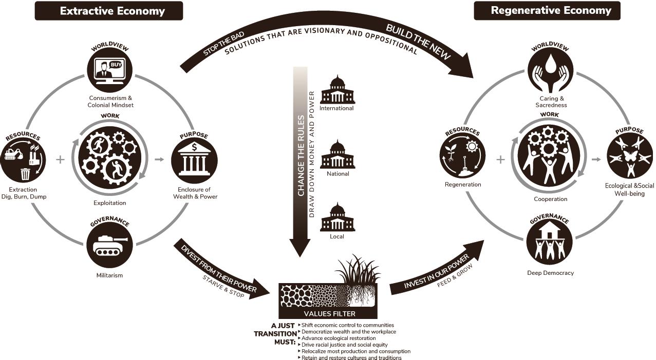
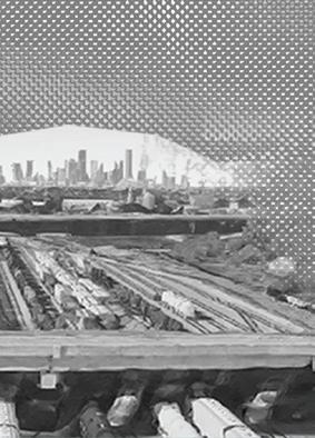



- Dr. Robert Bullard


The Ship Channel project began 150 years ago, each iteration enabling the massive expansion of Houston’s economy, capacity, culture, and footprint.


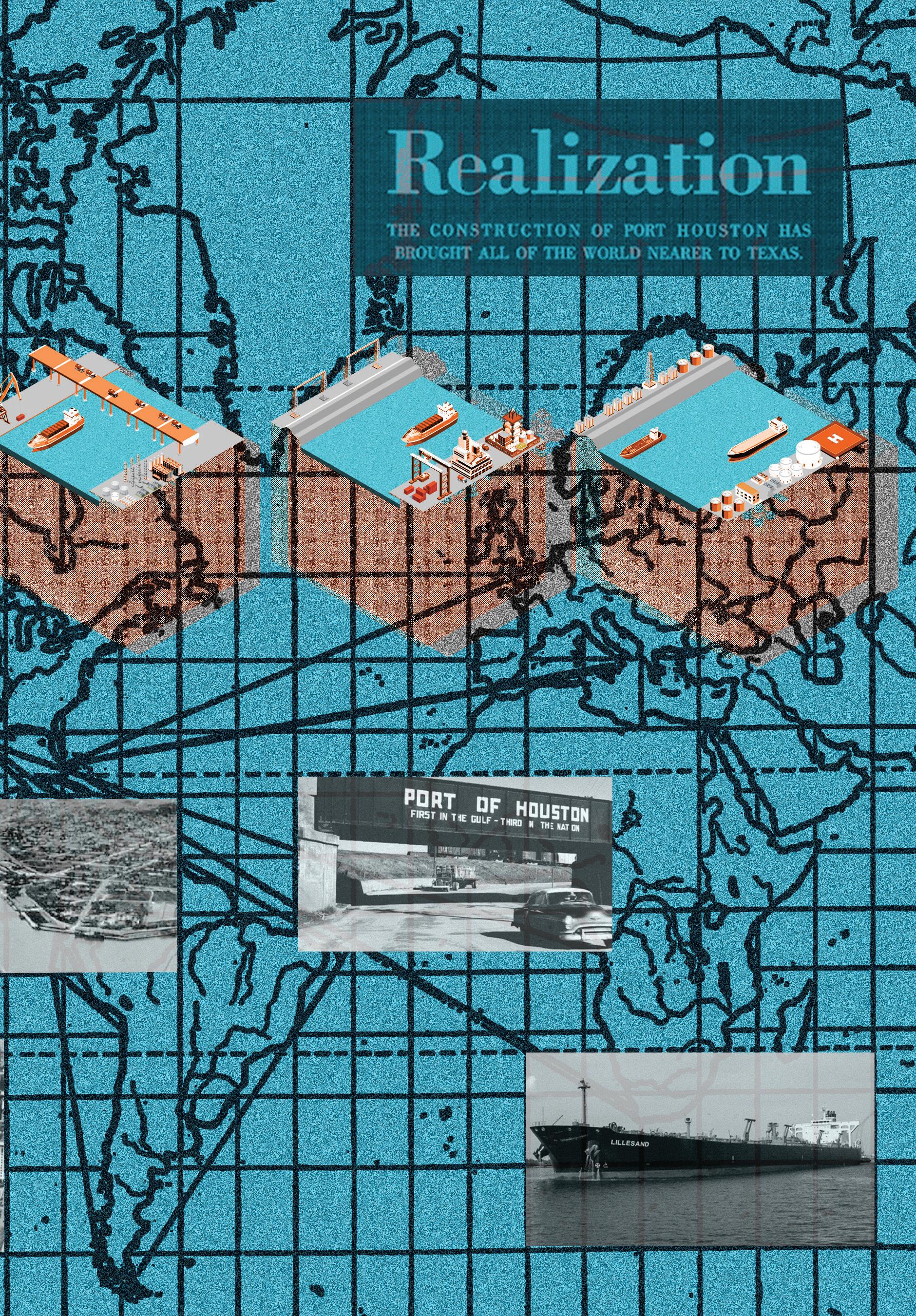
“Just transition” strategies were originally developed by trade unions and climate justice groups. These strategies center “fence-line” and frontline communities—that is, those most affected by pollution and climate change—as the world economy transitions from fossil fuels to alternative fuel sources. This requires planned economic strategies prioritizing worker and community health and equity rather than corporate gains and profit. In short, the “just transition” concept frames the energy transition as an opportunity to build more equitable and regenerative communities.
Houston’s Manchester neighborhood, bounded by the Ship Channel, Loop 610 freeway, a railyard, and a Valero Refinery, stands to benefit from an equitable transition to cleaner energy sources. Manchester’s history is deeply tied to the nearby Port of Houston, and historic health outcomes for community members have been bleak. Our group used Manchester as a case study to explore the ways that specific design interventions could support a just transition. Over the course of our research, we identified three major themes: community, energy, and food. These are basic needs and rights that all healthy communities share. Our three interventions address each of these themes.
As a speculative method for building partnerships and a shared consensus around the future, we developed the “Houston Energy Game,” a cooperative board game that requires players to enact a just transition.
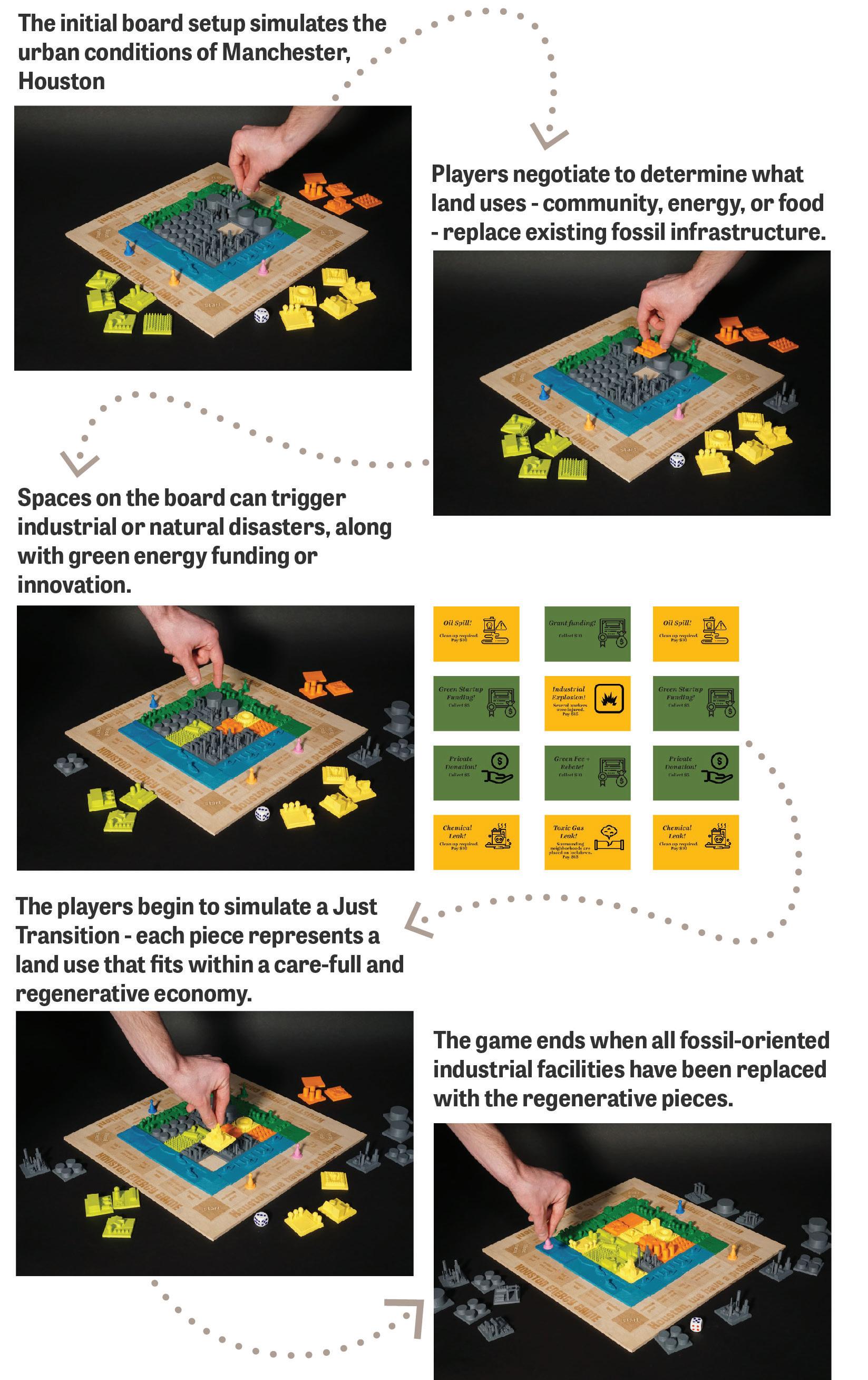
The Port of Houston, which owns and operates the Ship Channel, recently announced plans to achieve carbon neutrality by 2050.1 While a step in the right direction, the plan does not commit to a just transition. Instead of focusing solely on carbon neutrality goals, our plan centers community power and autonomy in order to work toward an equitable future for Manchester.
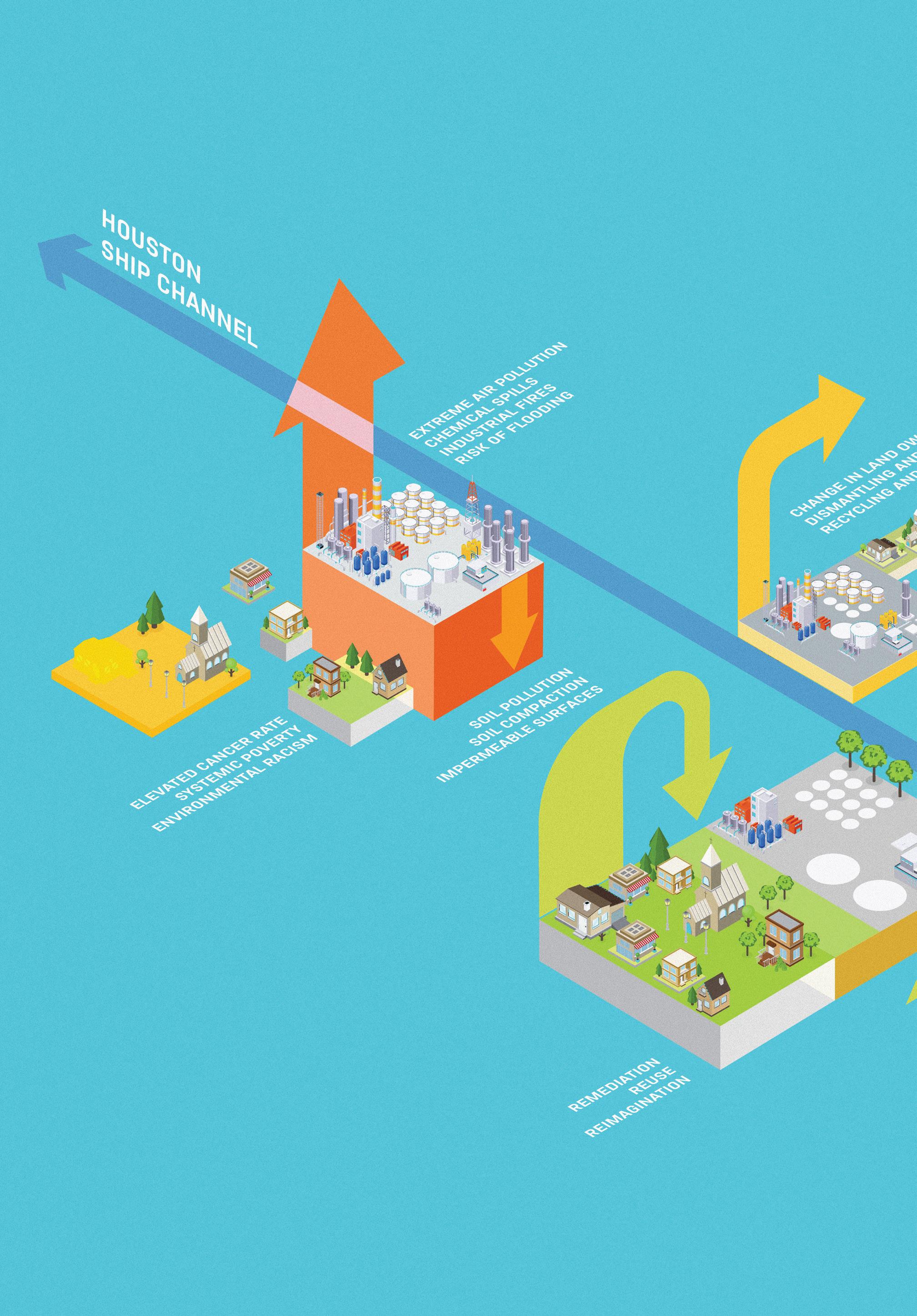
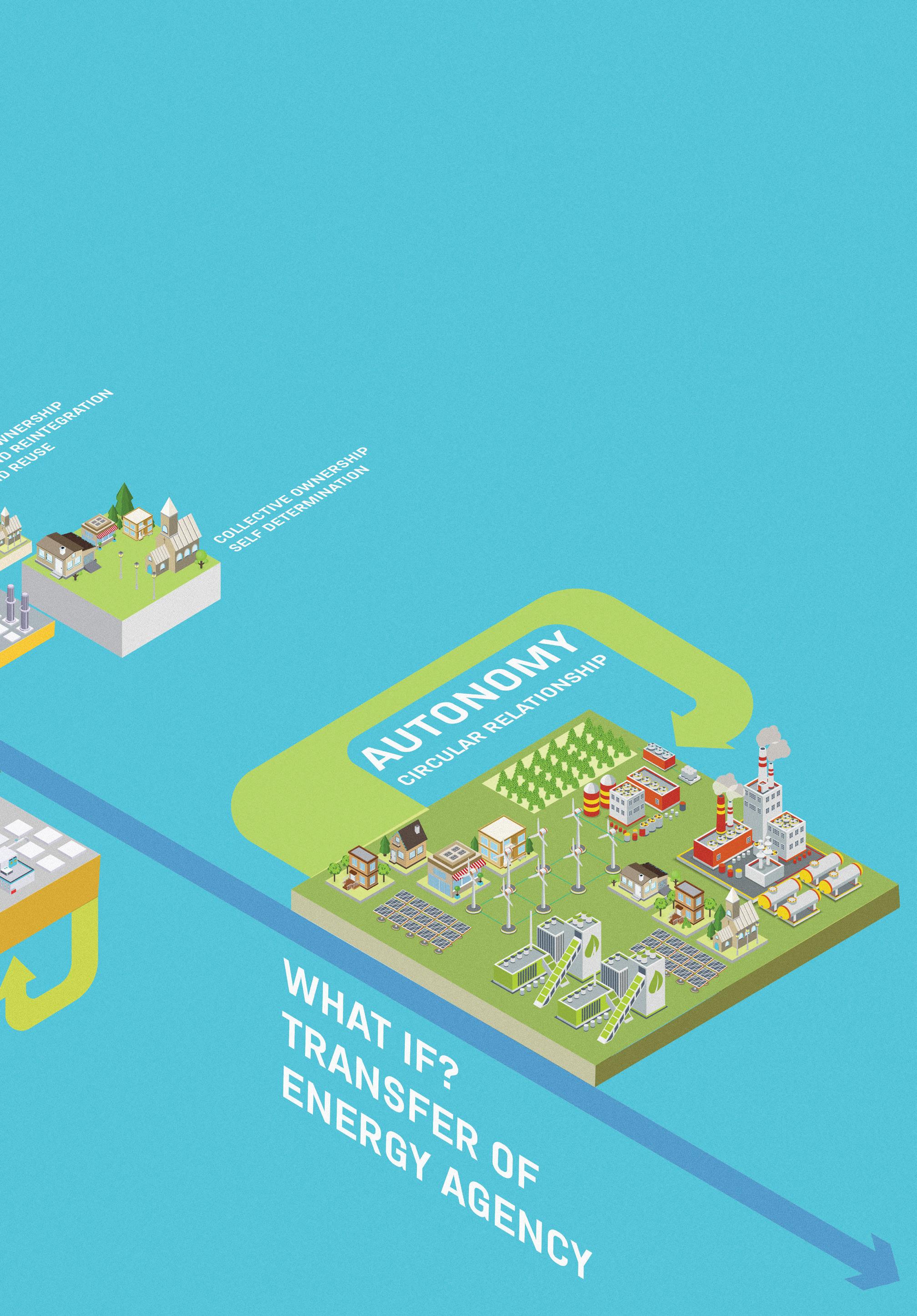
Manchester is among the most affected communities along the Ship Channel. The community is surrounded by industry, highways, and dense port infrastructure such as the Valero Refinery. Nearby industrial pollution has been linked to elevated cancer and asthma rates.2 Our proposal “Another Hartman” identifies Hartman Park, a beloved community space supported by funding from Valero, as a possible site for the beginning of environmental reparations. Occupying an existing parking lot, the proposal extends the existing community center into a Center for Justice with free health clinics, a chapel, air purification, an energy knowledge center, and community farming. In doing so, “Another Hartman” aims to bolster community agency and power.
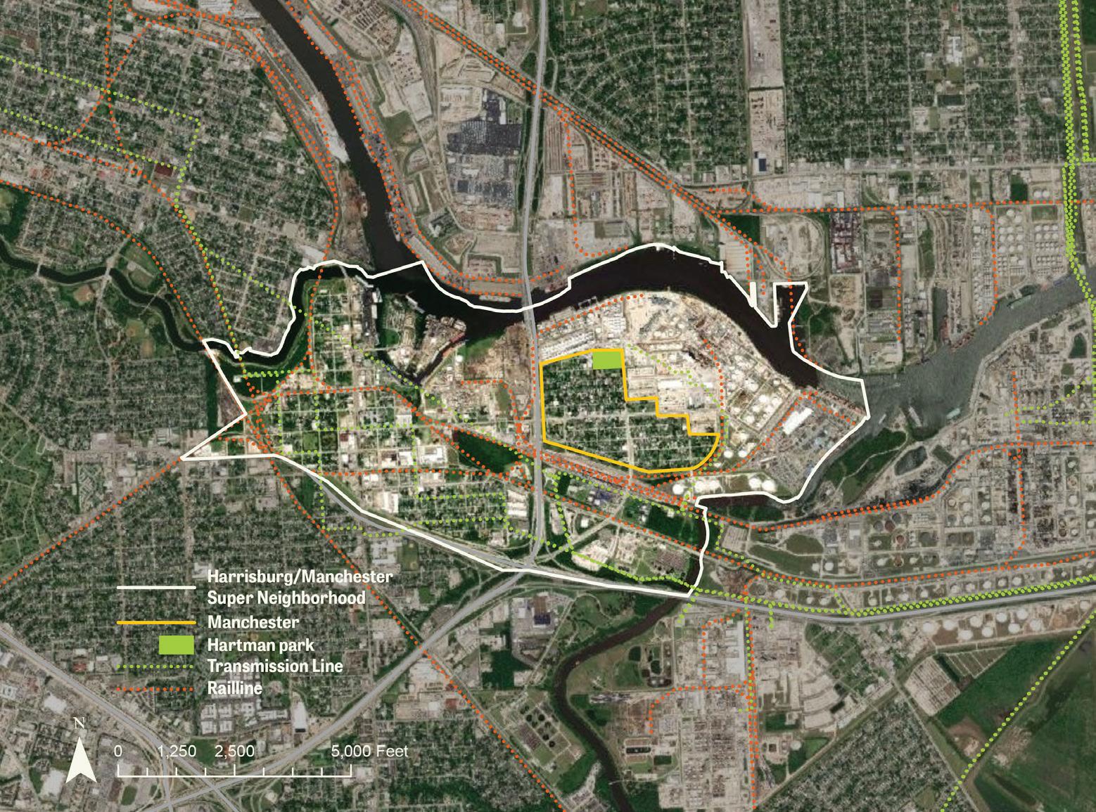












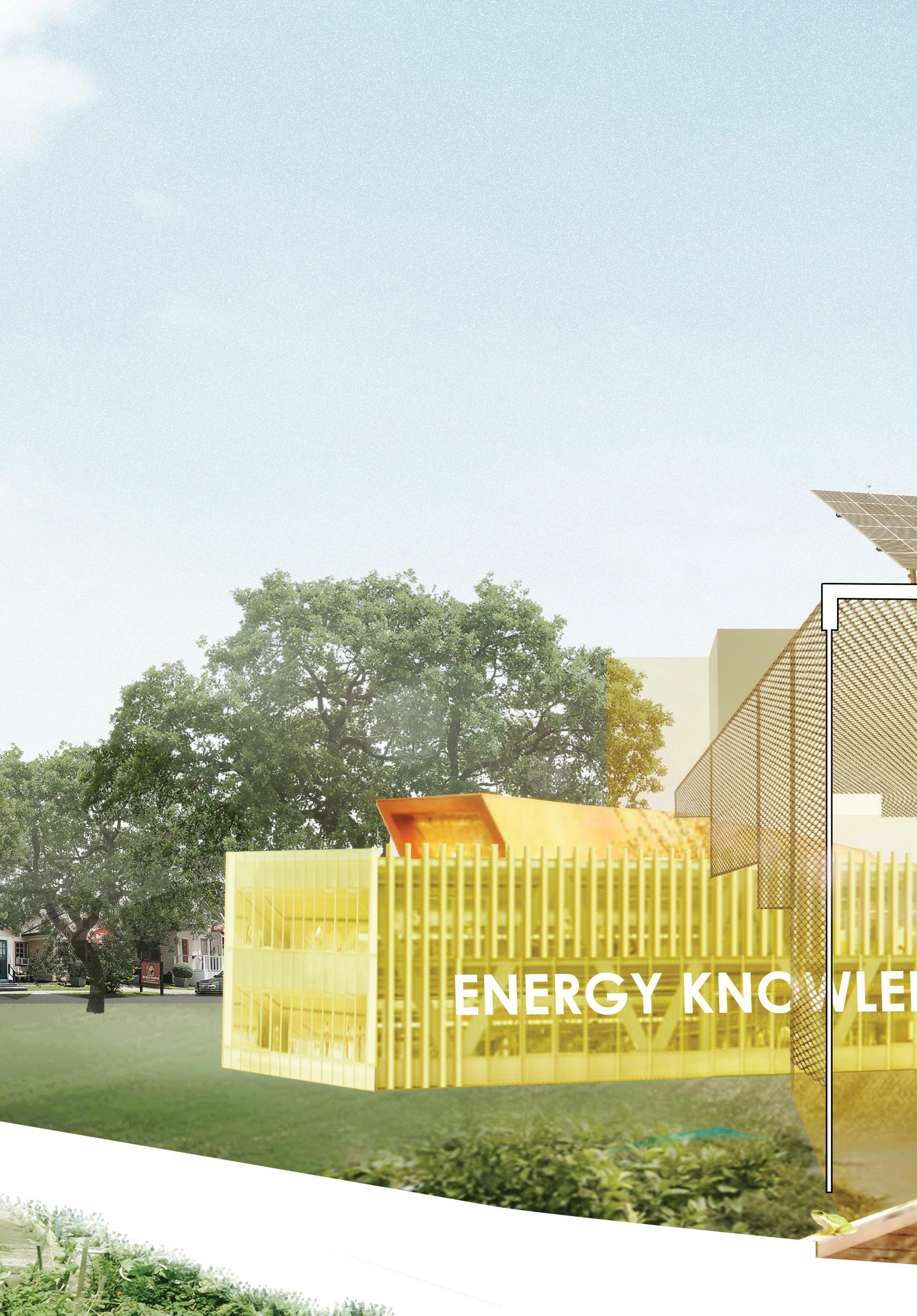 Another Hartman includes a range of programmed buildings that increase capacity for a just transition.
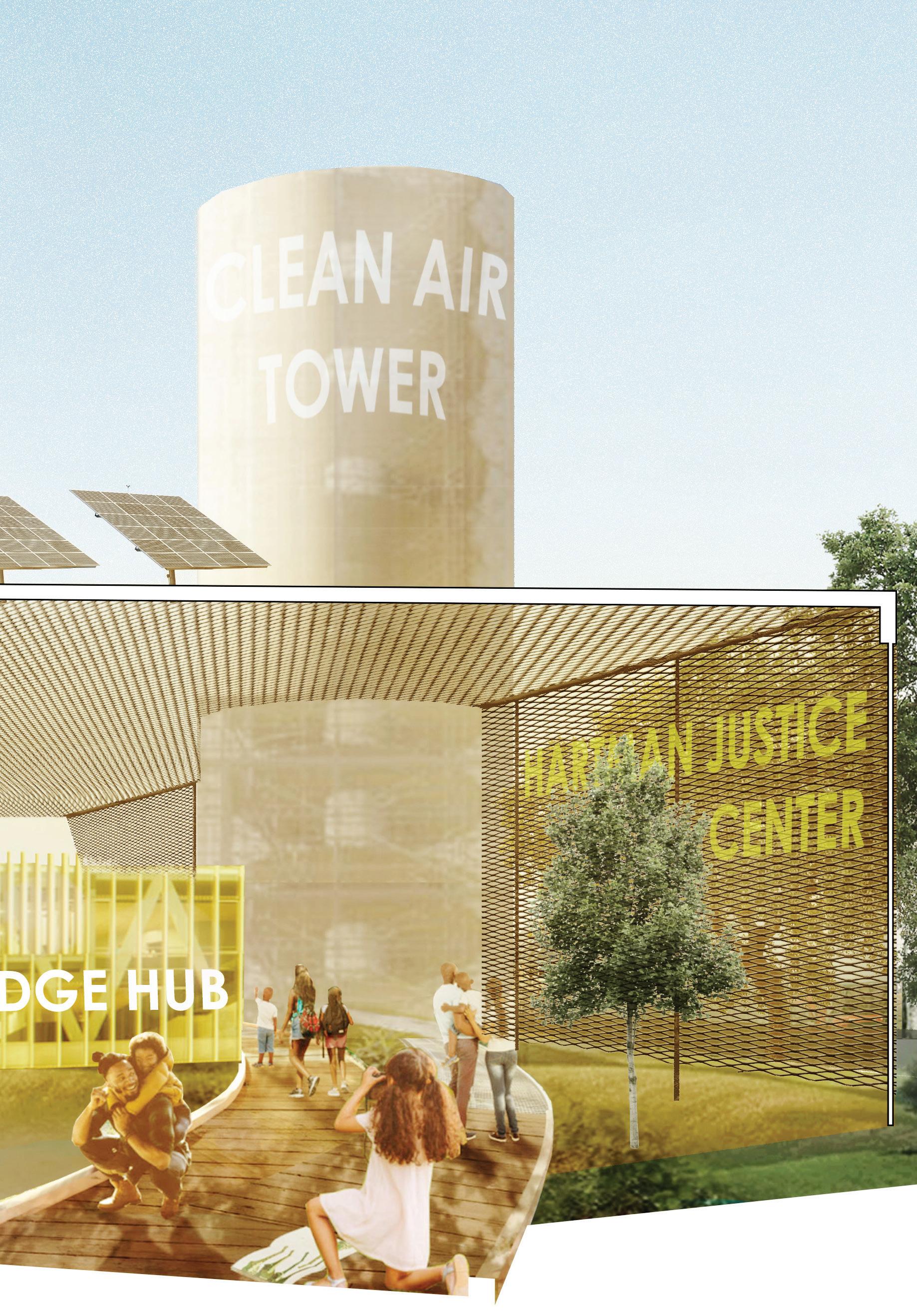
Envisioning the inevitable fossil-fuel drawdown in Manchester, we imagined that local coordinated solar-panel installation could quickly grow into a community-wide initiative. As a part of the City of Houston’s Climate Action Plan, our Manchester Power Co-op (MPC) would help install photovoltaic systems on 90% of Manchester’s roofs. This would allow Manchester to function both as a community- and utility-level power generator. Redox Flow Batteries (ideal for use in power grid systems) use an organic, non-toxic, non-flammable electrolyte liquid, leaving the surrounding areas safe for human and plant life. The MPC will tend their battery sites like gardens, creating a productive energy landscape.
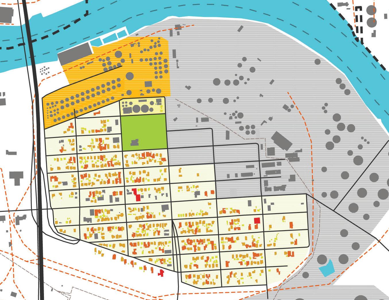
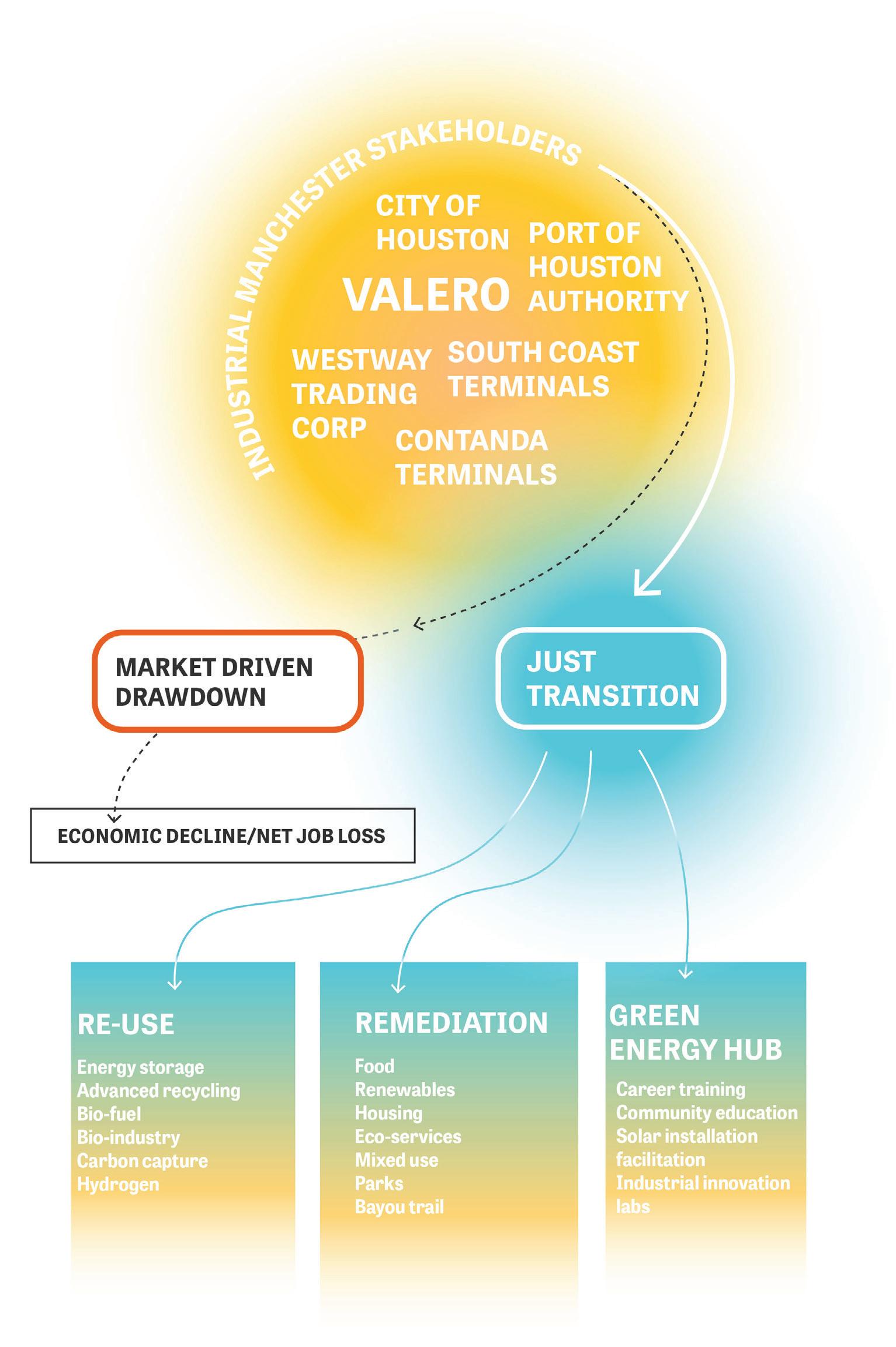
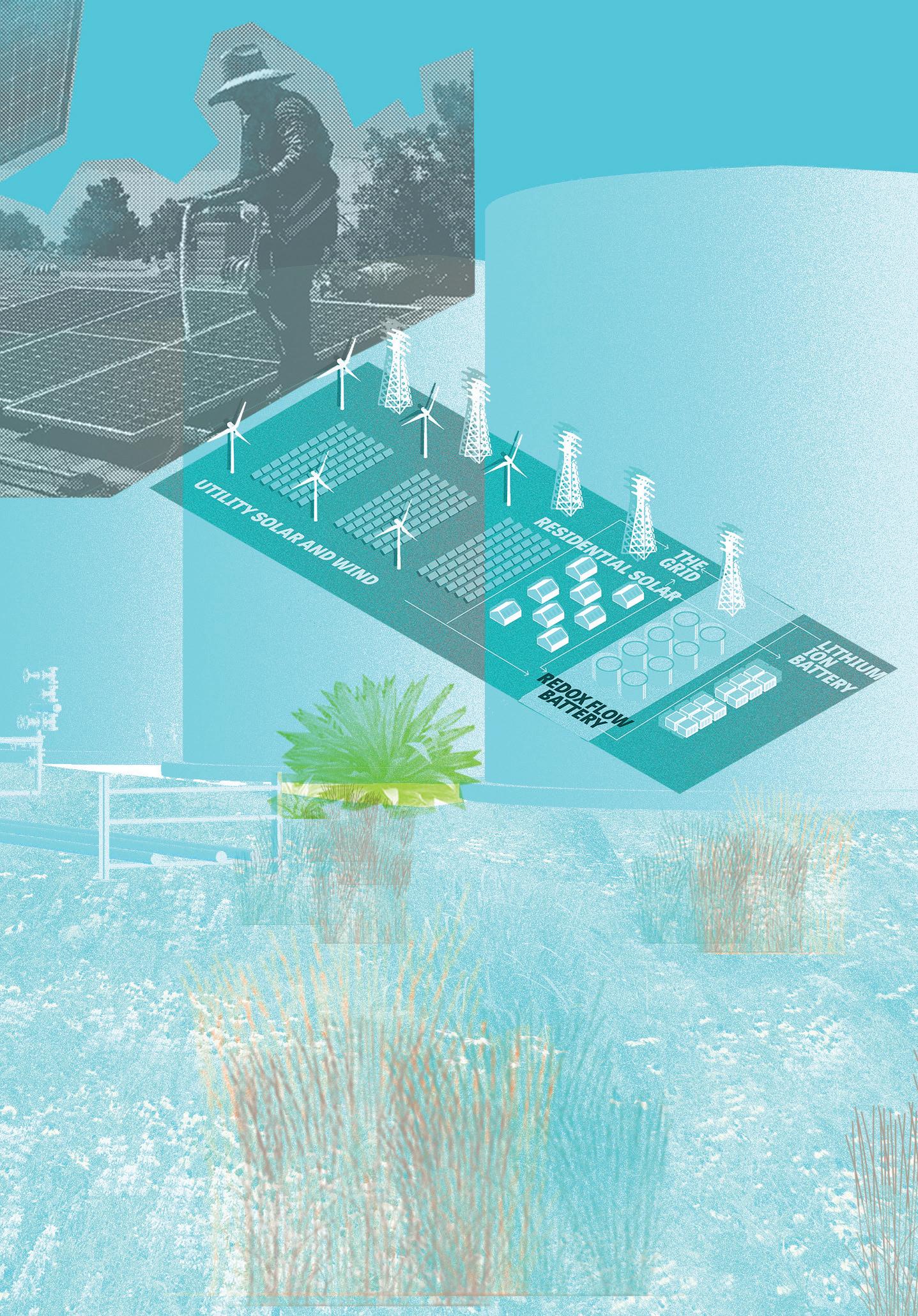 Existing oil storage tanks are reused as redox flow batteries to ensure energy supply and resilience.
Manchester suffers from soil contamination and a lack of public space. In response to these challenges, we propose establishing a soil remediation land trust on the conservation land trust model to create safe, contaminant-free open spaces that also work to improve Manchester’s food security. Manchester’s land trust is envisioned as a nonprofit holding title to land for remediation and community farming. The trust would connect enrolled private yards, vacant lots, and streetscapes into a connected pocket park network. In the first phase, native and non-native grasses would phyto-remediate the contaminated soils on vacant industrial sites and residential land to yield parcels with soils safe enough to grow nursery plants. In the second phase, urban forests and nursery plants would be planted on remediated sites and streets to provide urban cooling. In the third phase, following remediation, the soil would be clean enough for public parcels to transition to recreational community use, while private lots could be used for crops and orchards.
The goal of the Soil Remediation Land Trust is to encourage community ownership and investment in neighborhoods by empowering residents to control and improve the quality, quantity, and usability of their open spaces.
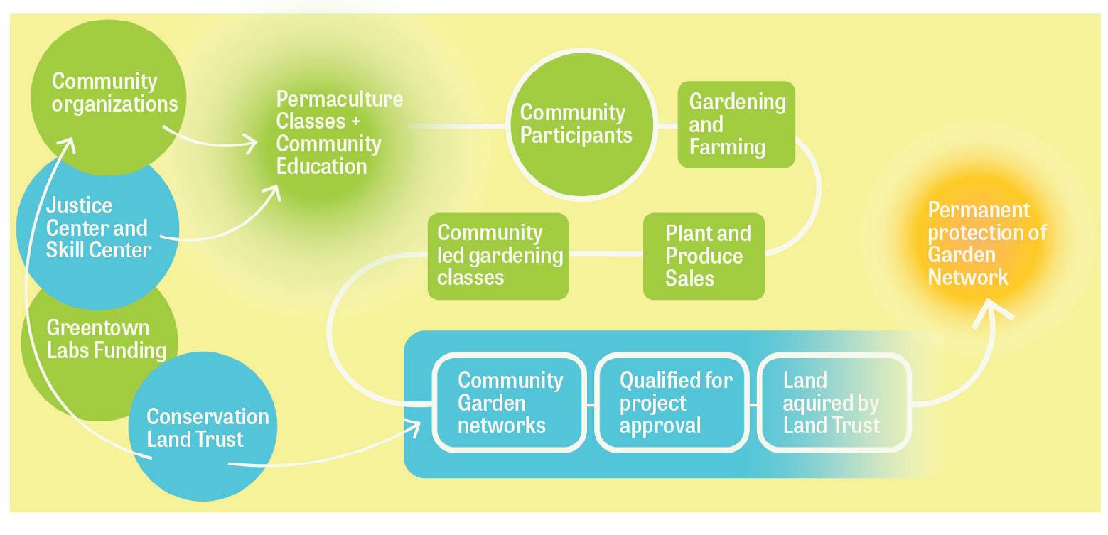
Manchester Food Desert Food Retailer Food Pantry


Farmer’s Market
Other Food Deserts
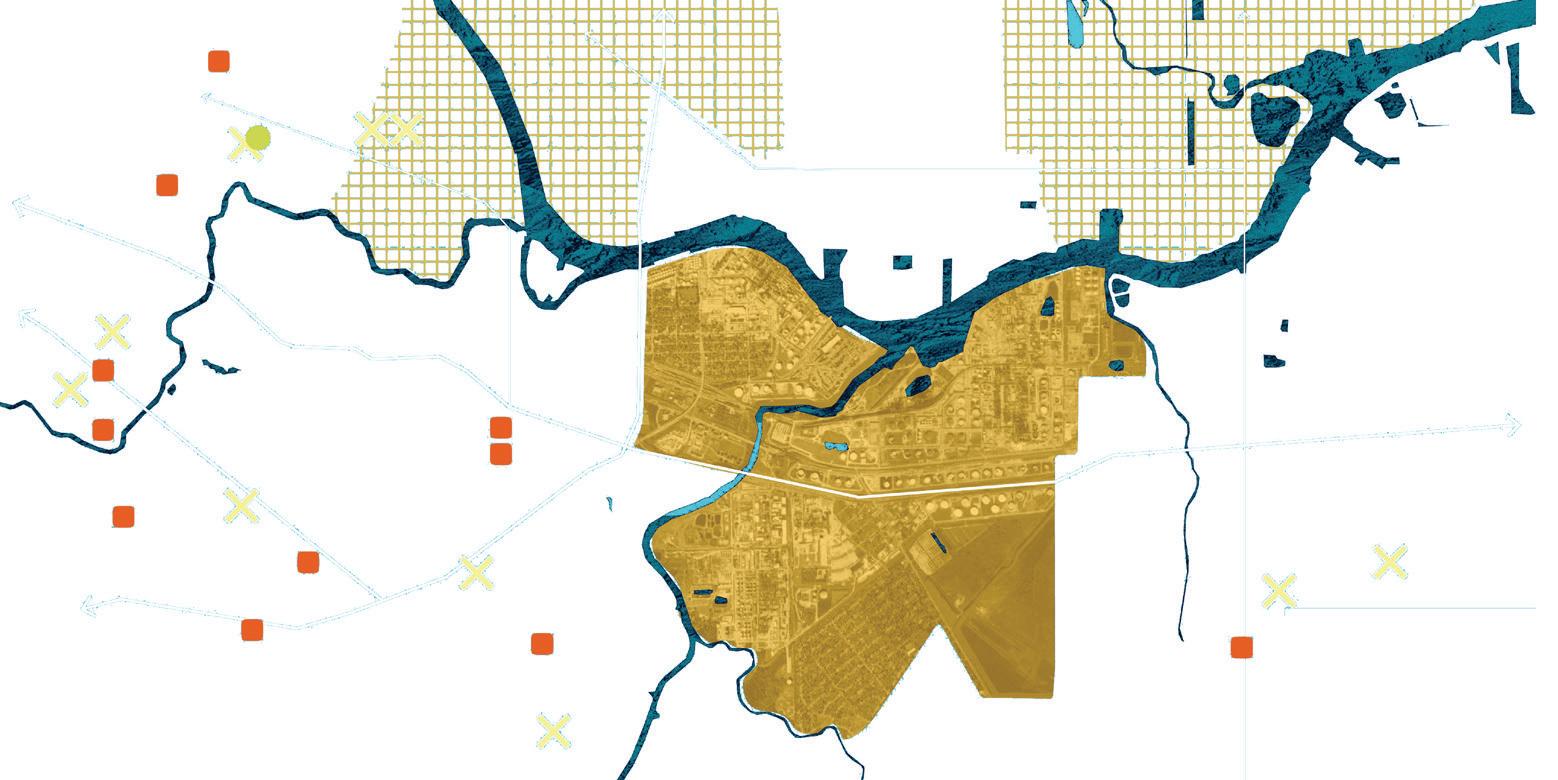
Manchester
Manchester residents do not have easy access to healthy food sources.
High Soil Contamination
Low Soil Contamination
Large portions of Manchester’s soil is not suitable for growing edible plants.
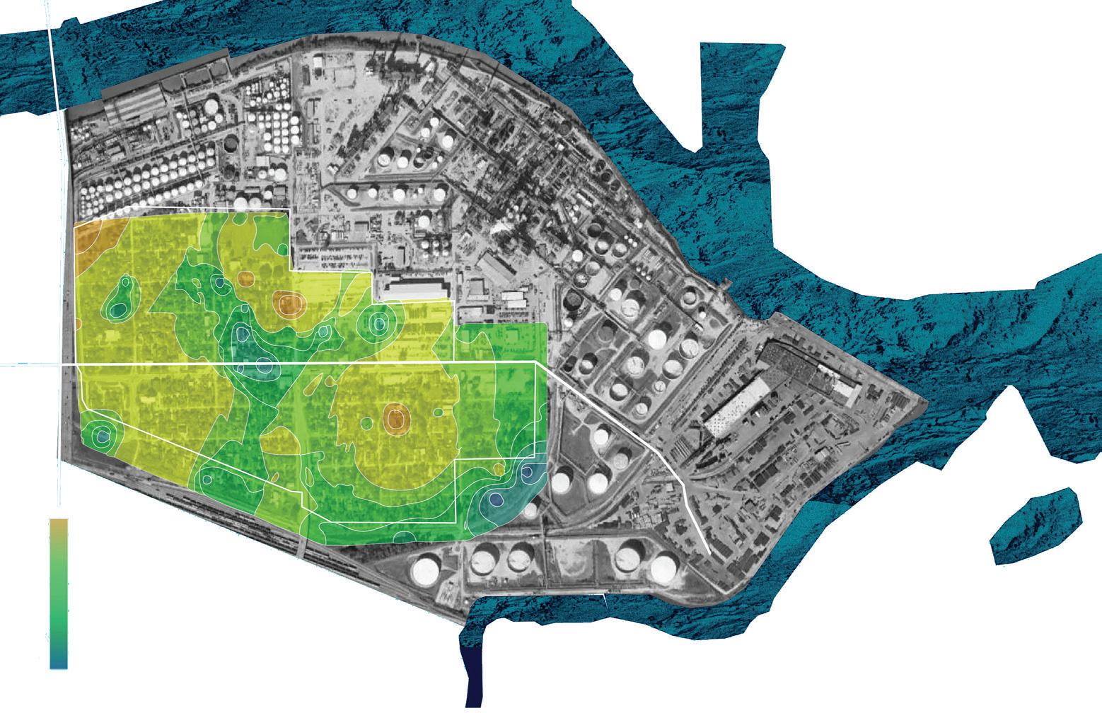
Phase 1
Phase 1 targets residential and industrial sites. Roots of native and non-native grasses phyto-remediate the contaminated soil and street trees are planted to provide shade and clean air.

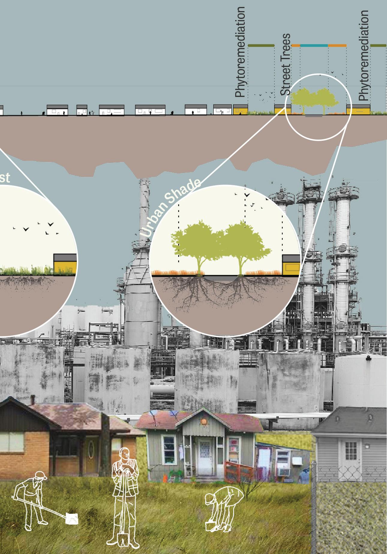
The phyto-remediation rollout continues. After 20 years, soil is clean enough for nurseries and urban farms. Street trees reach a mature canopy size, collectively becoming an urban forest. More residents enroll in the remediation landtrust program.
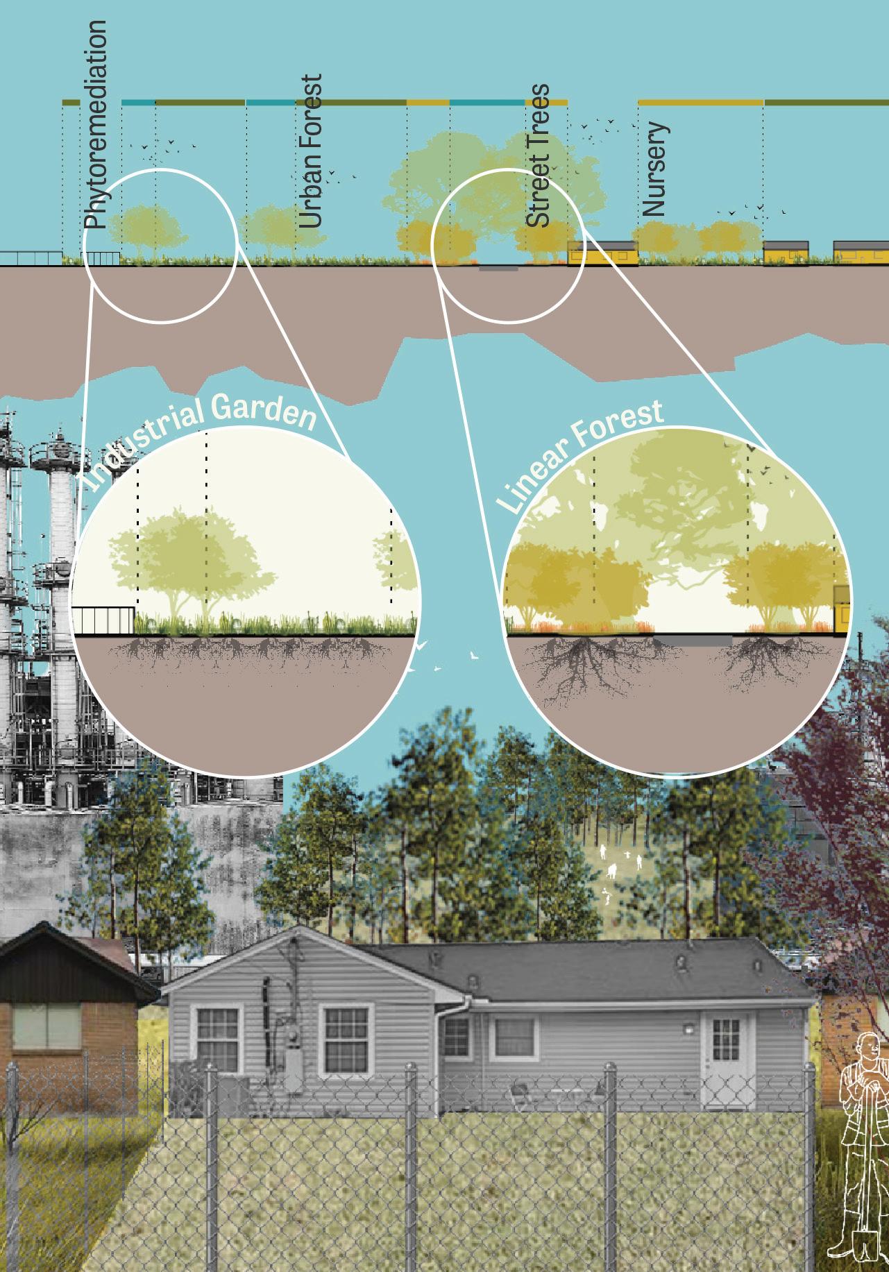
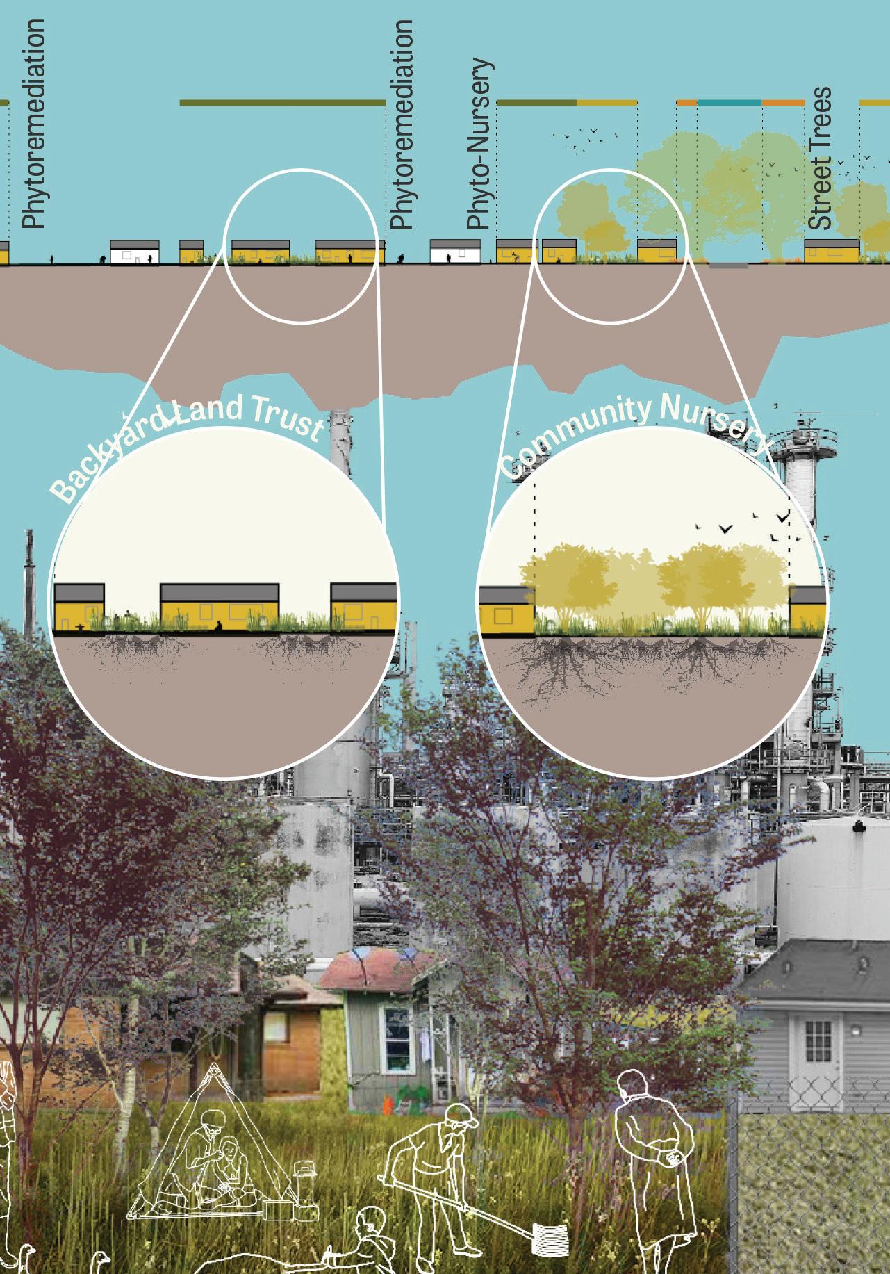
In around 40-50 years, soil throughout the neighborhood is clean enough for robust ecosystems to thrive. Streets are fully shaded and a network of gardens provide plenty of food.
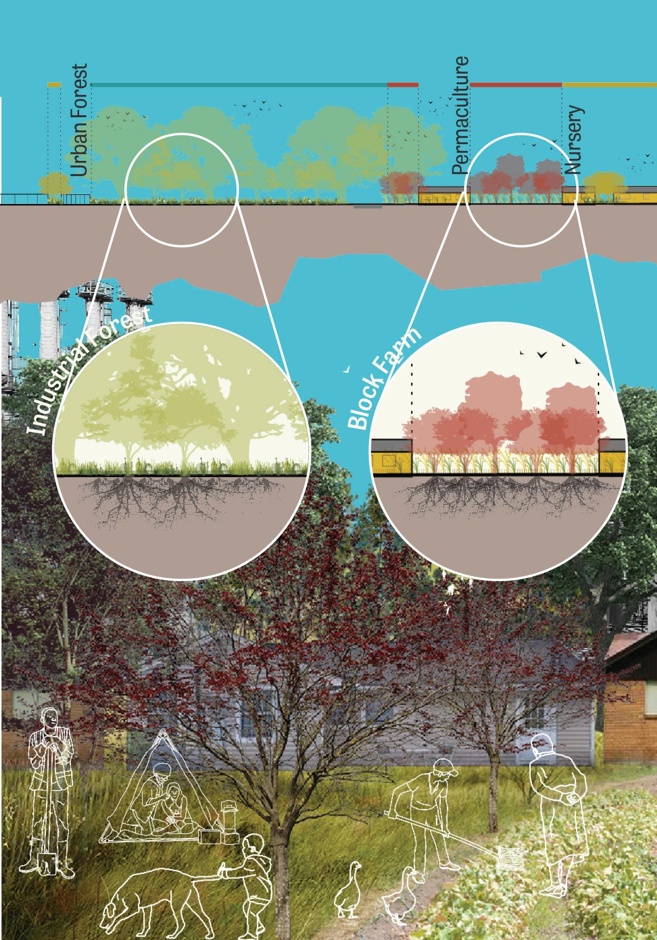
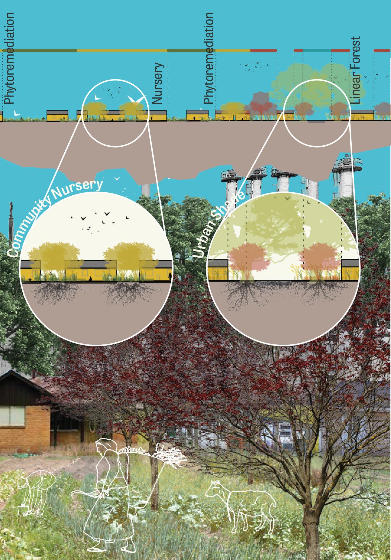
We presented the project via reproducible and accessible pamphlets that detail the research, analysis, and project proposals. We envision these being disbursed to activists and community groups in Houston.
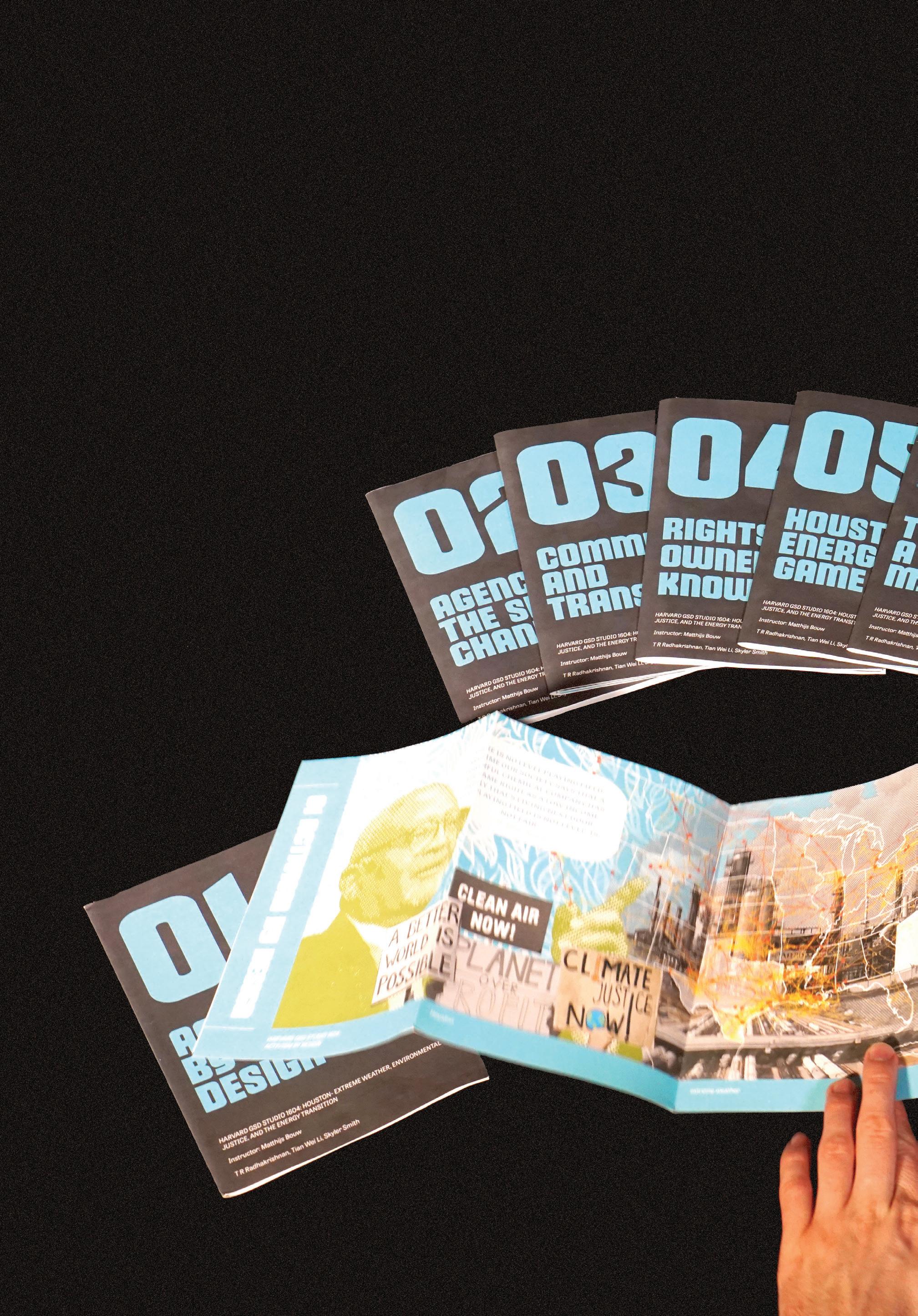
1. Review of Port Houston Commits to Carbon Neutrality by 2050. 2022. Porthouston.com. Port Houston. April 4, 2022. https://www.porthouston. com/news-media-press/press-releases/.
2. Whitworth, Kristina W., Elaine Symanski, and Ann L. Coker. 2008. “Childhood Lymphohematopoietic Cancer Incidence and Hazardous Air Pollutants in Southeast Texas, 1995–2004.” Environmental Health Perspectives 116 (11): 1576–80. https://doi.org/10.1289/ ehp.11593.


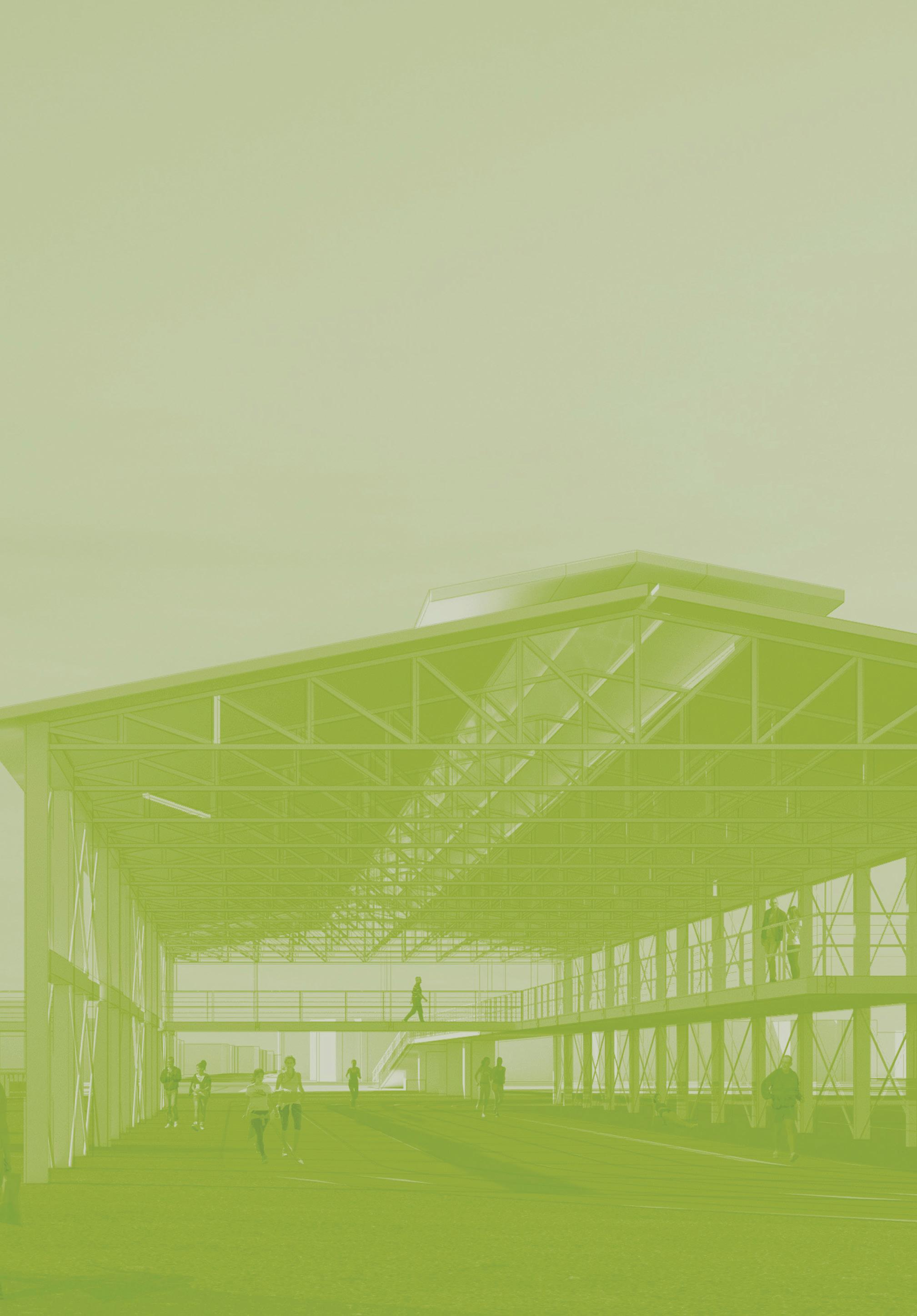
Our project anticipates and plans for substantial, yet uneven, reductions in fossil fuel and shipping activity along the Ship Channel. A phased series of interventions at the Turning Basin—the Channel’s terminus and nearest point to Houston’s urban core—will incrementally add healthy, productive uses to a trio of Port-owned sites as shipping and industrial activities realign. This project crafts a longterm vision of reciprocity between Port and community.
Dylan Culp Youngsoo YangThis project anticipates and plans for substantial (but not necessarily linear) reductions in fossil fuel and shipping activities along the Houston Ship Channel. By focusing the intervention on the Turning Basin, the Ship Channel’s terminus and its nearest point to Houston’s urban core, our proposal seeks to introduce multiple strategies of addressing heavy industrial uses of the current conditions and reimagining new possibilities of post-industrial landscape. The proposal envisions a substantial transformation of the site over time, implementing a series of acupunctural interventions that aim to trigger future incremental changes. This approach anticipates and imagines future rehabilitation by preparing the Turning Basin for a decarbonized future.
Houston’s port operations have shifted in response to economic and environmental concerns. Broadly speaking, they have moved eastward as shipping infrastructure consolidates east of Houston toward Galveston Bay. These movements have occurred gradually in response to changing economic, political, and environmental conditions. As such, our project also considers three major trends that are likely to alter the nature of land use along the Channel: the energy transition, shipping industry alignments, and development pressures from downtown. As a result, the proposal introduces a phased approach to address the challenge of reimagining the site, with each subsequent phase dependent upon the success of the preceding phase.
Port operations have gradually moved eastward, opening up post-industrial land for development.

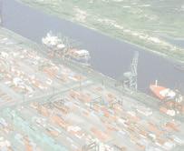



The proposal imagines a non-linear shift in land use along the Turning Basin.



The proposal is located in a three-part site bounded by the rail tracks and encircling the Turning Basin. Site A, to the south of the Channel, contains storage facilities, shipping docks, cement manufacturing plants and scrap yards. A network of industrial railways heavily occupies the area to accommodate industrial and shipping activities. Despite its concentration of heavy industrial uses, Site A is adjacent to a residential neighborhood, Magnolia Park, to the south, with Hidalgo Park abutting to the west. Site A essentially acts as an insular island; rail tracks disconnect the site from Magnolia Park, making Site A largely inaccessible. 75th Street acts as its sole connection. Site B lies across the Channel from Site A and is largely owned by Port of Houston for logistical purposes. Site C occupies the northwestern wedge of land, which currently houses a dock for a boat tour company along with a parking lot and a substantial amount of vacant land. Across these sites, the strategies incorporate three priorities: maximizing existing infrastructure; introducing spatial connections by way of public space; and giving back to nature. With each site introducing varying levels and strategies of interventions, altogether they seek to generate a meaningful catalyst for a substantial transformation not only of the site, but for the future of Houston Ship Channel.
The Port of Houston owns most of the land surrounding the Turning Basin.




EXISTING CONDITIONS






Public warehouses and a grain elevator are two key parts of the Turning Basin area.



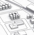
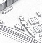





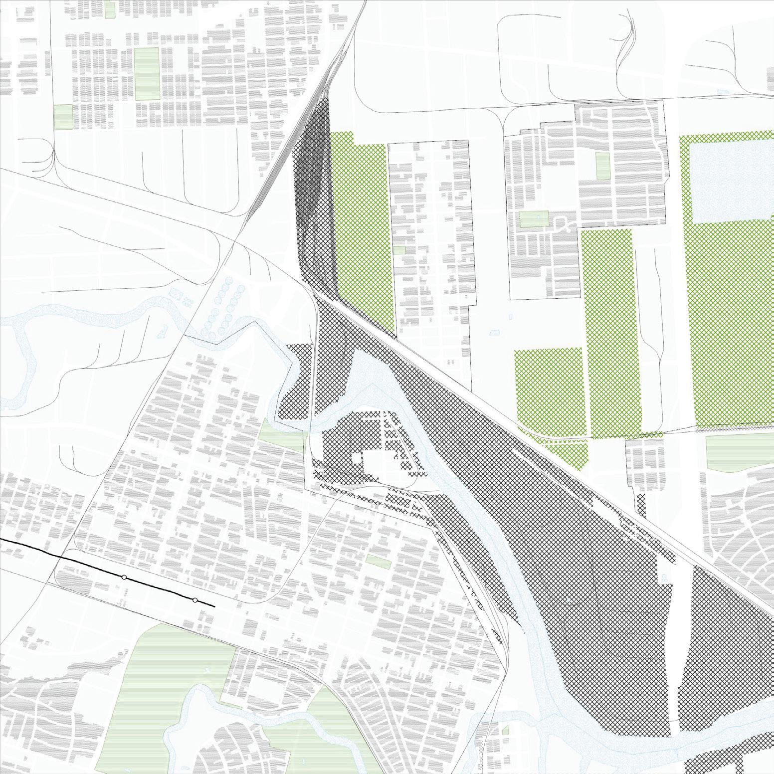
The first phase focuses on connecting Site A to its urban context. Since rail tracks separate Site A from the Magnolia Park neighborhood, the proposal provides a band of open spaces that initially act as a buffer zone between the industrial and residential areas but would eventually serve as a landscape bridge. These collective open spaces include programming such as athletic facilities and green spaces for the surrounding communities. The existing warehouse on the site becomes an outdoor shelter for a running track, with its roof hosting a solar panel installation that feeds power to light fixtures around the park. Another element of Phase 1 is the reconstruction of 75th Street as a primary axis that serves as Site A’s main connection to Magnolia Park. By introducing landscaping features and a public bus line that travels along the street, these elements serve as a catalyst for future development. Two programmatic anchors activate the street: the tour boat dock, relocated from across the channel, and an information center. These initial interventions serve as stepping stones, preparing the site for later, more significant transformations.















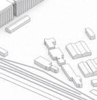



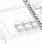
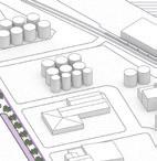
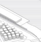


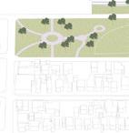
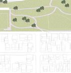
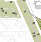
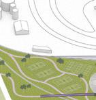
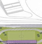

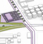


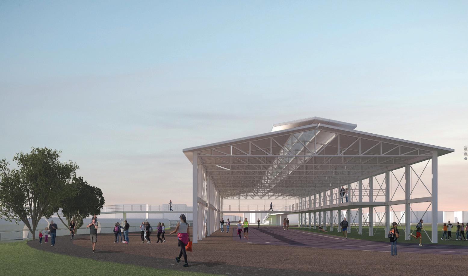
In Phase 2, parts of the site’s freight rail network begin to be decommissioned as the area’s industrial activities are interrupted. This allows for the expansion of the site’s sports park: an area currently occupied by storage tanks is repurposed into recreational facilities, including playgrounds and a rock-climbing gym. Other industrial infrastructure begins to accommodate new programming, creating space for indoor food farming and art galleries. This phase introduces a transit stop along 75th Street, serving the extension of the light rail line originating from downtown. Phase 2 also includes the development of an education center across the street from the transit stop. Finally, it calls for constructing a pedestrian bridge that links Site A to Site B. At this stage, however, the bridge is only half-complete and serves as an overlook to avoid disrupting ongoing shipping activities around the Turning Basin.





Phase 2 adds an extensive amount of public open space and builds capacity for public programming.
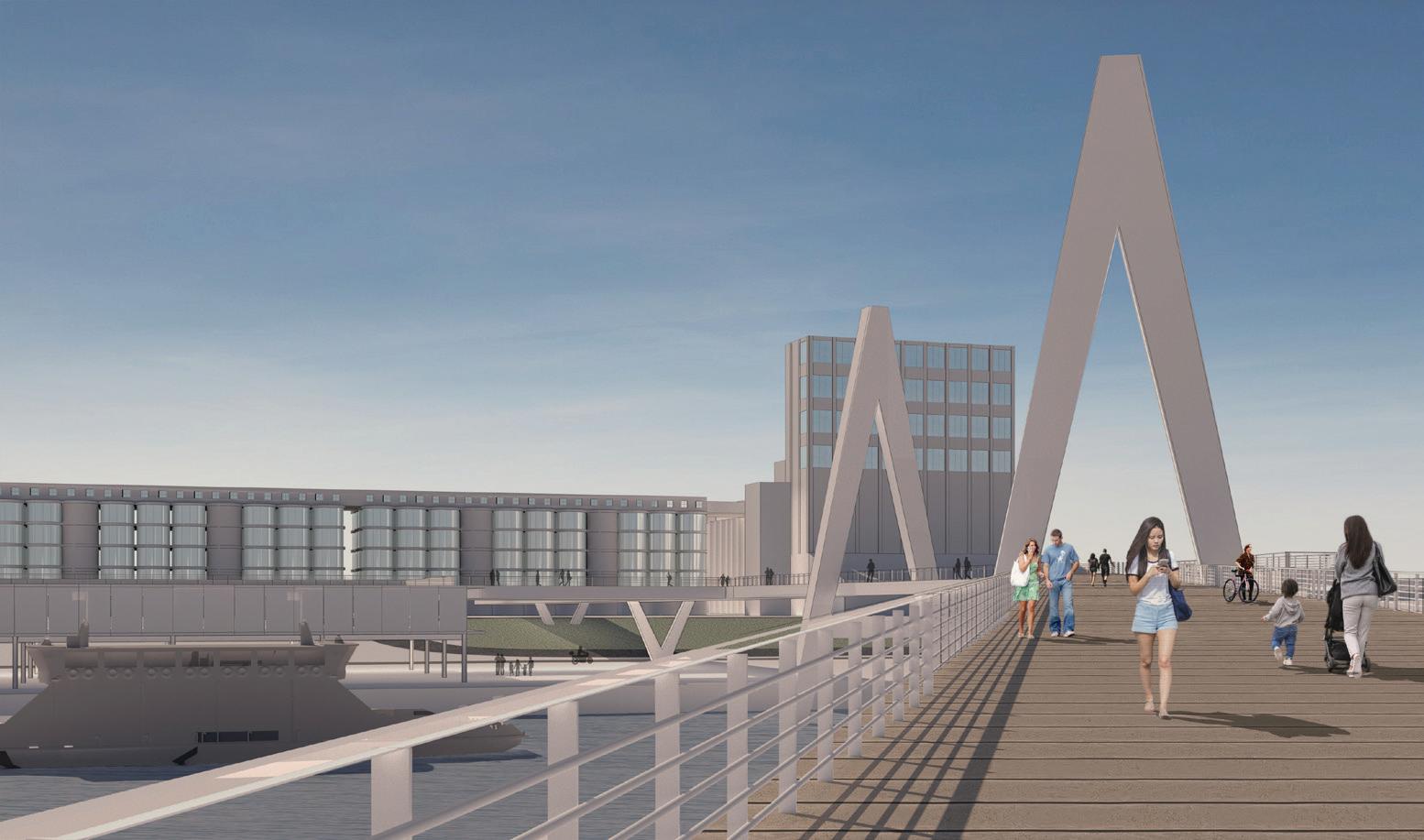


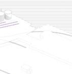
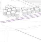

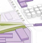
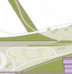
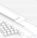
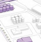
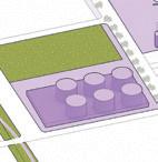


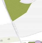









During Phase 3, the interventions completely overtake the industrial activities and infrastructure around the Turning Basin, putting an end to the Basin’s function as the Channel’s terminus. As a result, the Turning Basin is relocated to a point further east along the channel. The existing industrial infrastructure on the site now caters to new technologies, including facilities such as a data center and lab spaces. Notably, this phase introduces housing development, aiming to convert the formerly transient site to a neighborhood that is connected to the surrounding communities. The overlook bridge, fully completed, links the two parts of the site, creating an important physical and symbolic connection: the Channel is now for people, rather than industry. Another bridge accommodating the extension of the light rail line leads to a mixed-use redevelopment of the grain elevators, including further active and social spaces. Site C becomes home to an elevated, artificial landscape developed using dredged materials. This proposal seeks to leverage the potential of the Houston Ship Channel and its associated industrial infrastructure. In response to the studio’s core themes, the project attempts to address the complex issues of climate justice, energy transition, and post-industrial landscape by placing the Channel at the center of the conversation.
Industrial land use is phased out and the pedestrian bridge is completed.
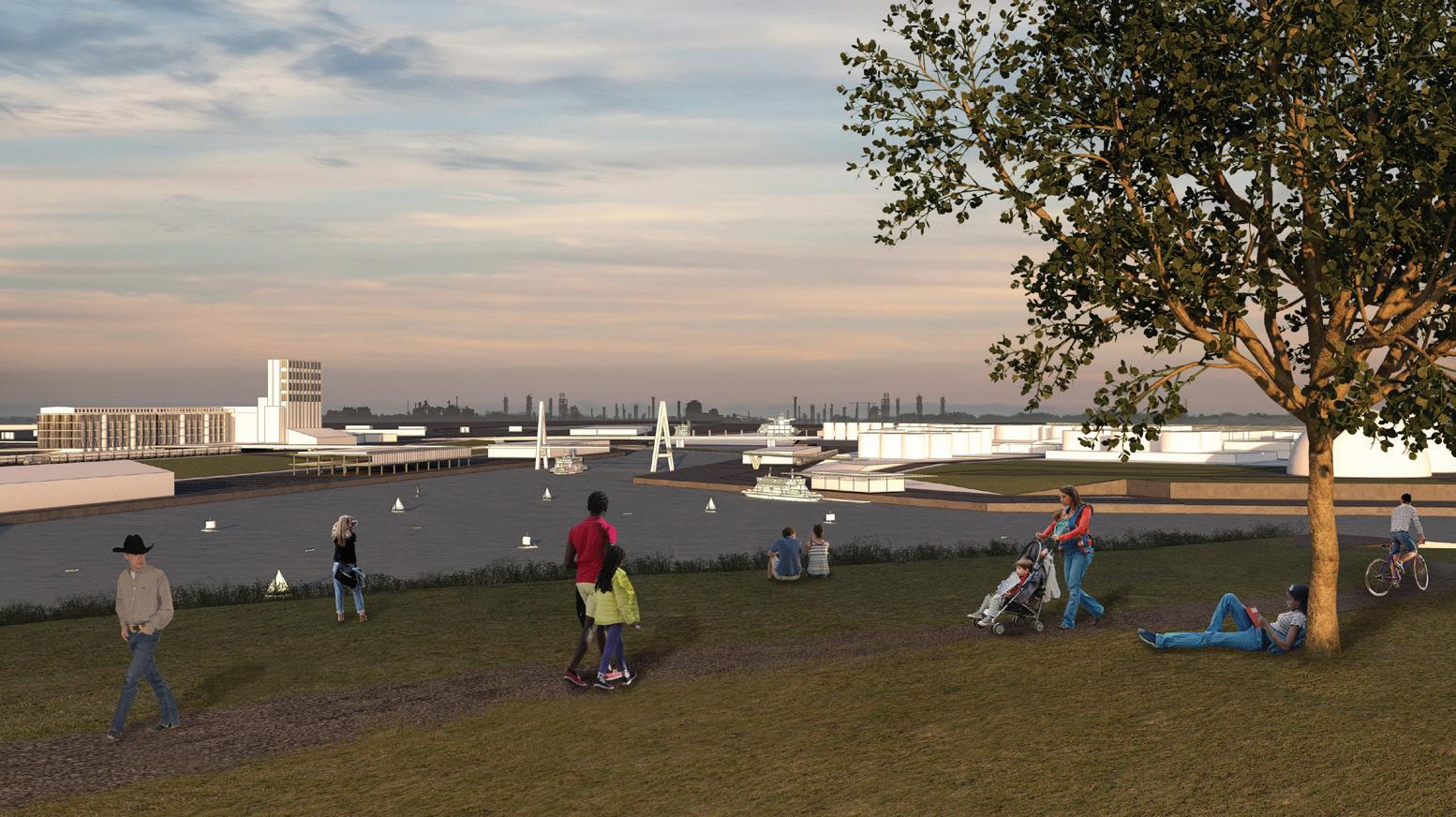


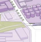
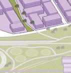
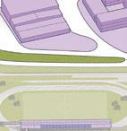
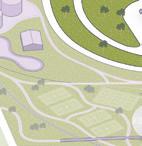
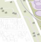
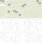
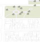

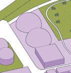
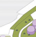
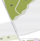


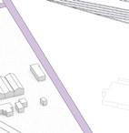
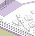
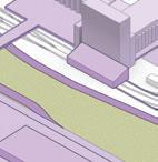


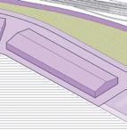


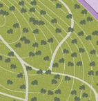



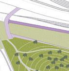
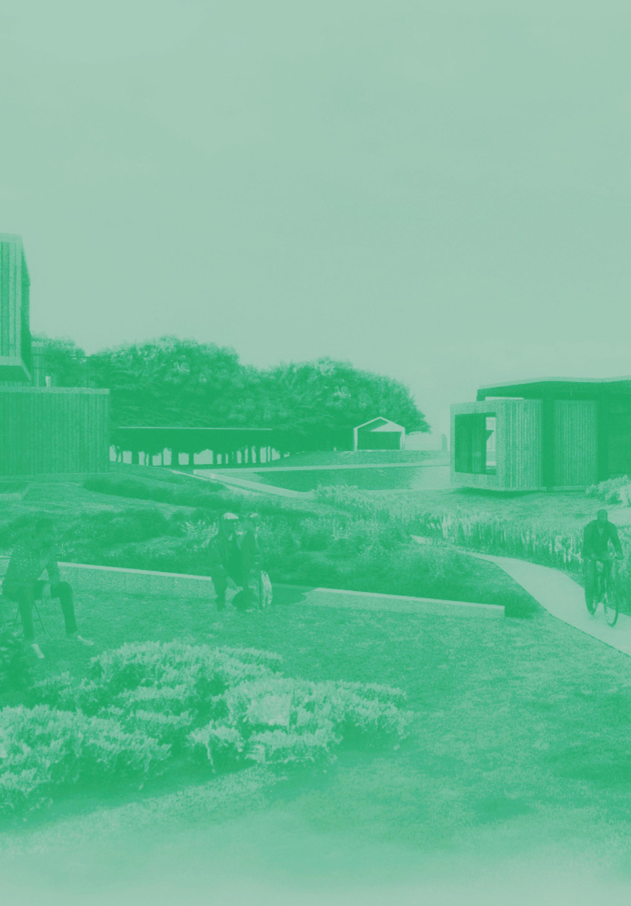
Water is a core part of Houston’s identity. But events like Hurricane Harvey are brutal reminders of water’s power when it isn’t given space in a landscape where land and water are deeply intertwined. What if Bayou City’s policy and design decisions more boldly embraced living with water? Our project proposes and tests the following design principles using Kashmere Gardens as the case study: first, water is a strength of the city; second, nature-based solutions are worth the upfront investment; third, pollution and flooding are public problems to be addressed with public infrastructure; fourth, communities should be kept together; and finally, responsibly experimenting with bold design and planning ideas is a city’s mandate.
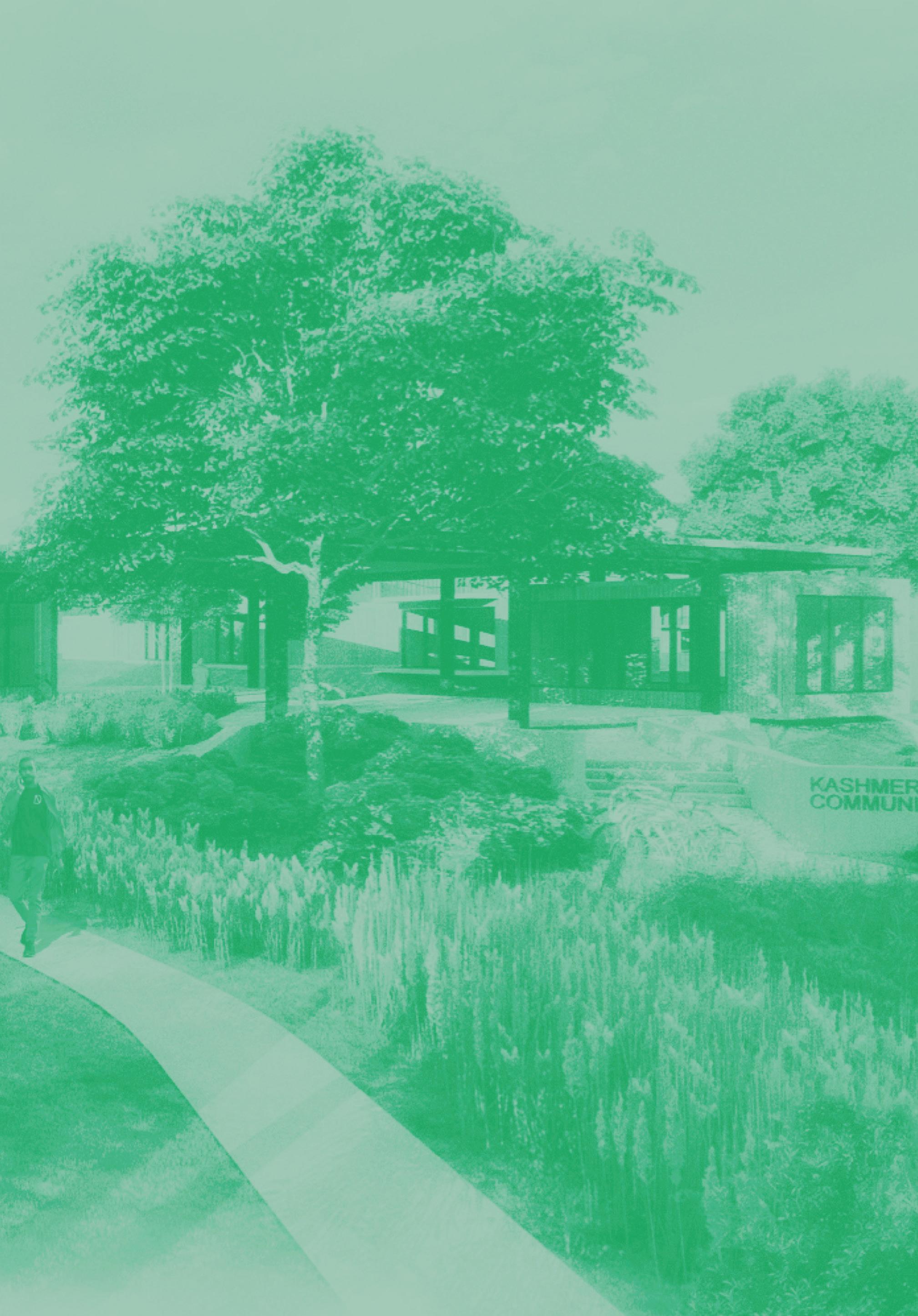
Houston, known as Bayou City, is literally and figuratively built on water. However, Hurricane Harvey and other storm events offer reminders of water’s destructive power in cities located on bayous, wetlands, deltas, and marshlands. Such events disproportionately affect communities, such as Kashmere Garden, that suffer from legacies of disinvestment in physical and social infrastructure.1
What if Bayou City’s planning and design decisions boldly embraced water, elevating pollution and flooding to public concerns as opposed to private burdens—especially within the most vulnerable neighborhoods? How might outcomes be different for people living in these communities? And how might the value created through planning and design interventions be monetized to directly benefit existing communities? Could communities emerge more resilient from these processes? Our project proposes an integrated landscape and planning approach that explores these questions in the context of the Kashmere Gardens neighborhood.
Our project proposes an integrated landscape and planning approach for living with water in Kashmere Gardens.
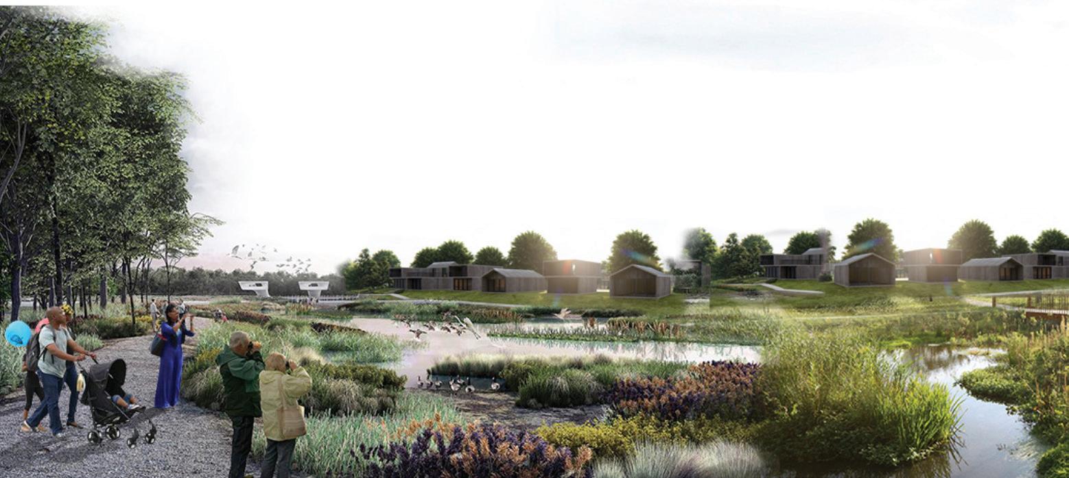
We imagine a future where water is a beneficial part of a neighborhood rather than a risk.
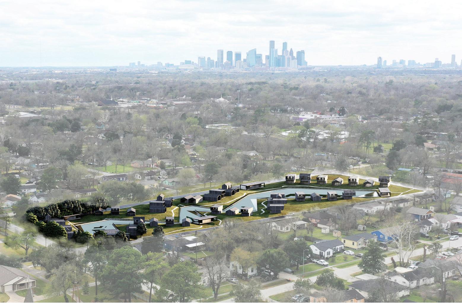
On the morning of Sunday, August 27, 2017, during Hurricane Harvey, Hunting Bayou began to overflow. Rainfall continued for two whole days, flooding Kashmere Gardens with over fifty inches of water. Approximately 3,700 (or 44%) of the neighborhood’s homes flooded, an outcome worsened by the location of the neighborhood within the floodplain.
The physical impacts of the flooding were exacerbated by socioeconomic inequalities decades in the making: high levels of poverty, healthcare disparities (including a cancer cluster linked to a creosote plum leaking from the nearby Union Pacific train yard), and cost-burdened renters and homeowners with low levels of property insurance.
The City of Houston aims to tackle these multi-layered issues using a systems approach, as outlined in its Complete Communities program.2 Since Hurricane Harvey, the city has put together several plans to address pluvial flooding and the socioeconomic and emotional toll it inflicts on communities such as Kashmere Gardens. Characteristic features of these plans include large-scale, hard infrastructure projects and community buyouts. However (following the city’s 2020 Living with Water plan) this may not be enough and indeed may only address up to fifty percent of the flooding risk.3
Drawing on social, spatial, and economic analysis, we propose an alternative neighborhood-scale approach that boldly embraces water as part of daily life and uses landscape architecture as a primary means of effecting change. The design proposal also incorporates planning and finance tools that directly link selected design elements to their effect on community resilience, as defined by health, environmental, economic, and infrastructural outcomes. By linking the two approaches, the proposal aims to unlock creative and sustainable solutions
in which landscape design and planning tools operate in a continuous feedback loop.
Kashmere Gardens is a neighborhood in the northeast of Houston, Texas, adjacent to the Fifth Ward Neighborhood. It is a part of the thirty-one-square-mile Hunting Bayou watershed in Harris County, which is within three city limits: Houston, Galena Park, and Jacinto City. All rainfall within this area drains through the bayou’s forty-five miles of open waterways and flows southeast until it meets the Houston Ship Channel, the central economic hub of Houston’s industrial sector. Over 80,000 people live within the watershed. Kashmere Gardens is bounded by the 610 and I-69 highways to the north, east, and west and by the Union-Pacific railyard to the south. The last of these acts as a levee during pluvial flooding events, trapping polluted water that would otherwise flow downstream to the water table.
Internally, the Kashmere Gardens neighborhood is characterized by large lots dotted with single-family homes, some tree cover, and largely impervious clay soil. There is a small commercial corridor and several light industrial zones located on the eastern and western edges. The neighborhood also includes approximately nineteen acres of public green space spread across five parks, resulting in a twenty-nine-acre park deficit from recommended guidelines. These physical conditions exacerbate flooding and amplify air, groundwater, and soil pollution.
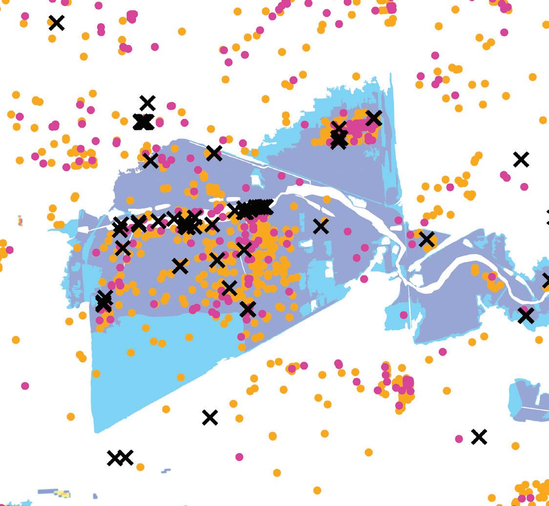

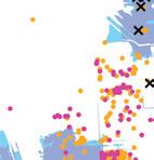
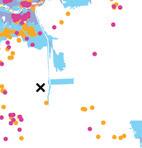
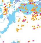
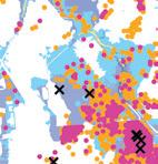
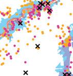
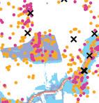


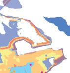
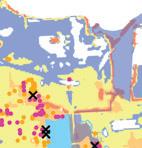
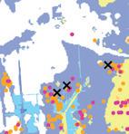
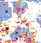
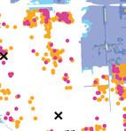

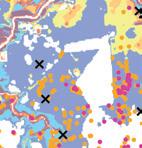
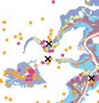
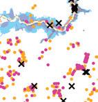
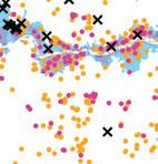
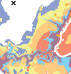
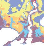

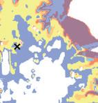
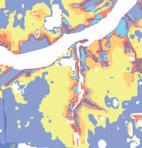
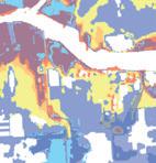
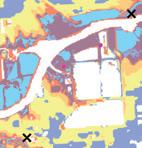
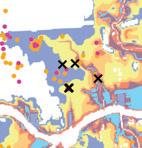
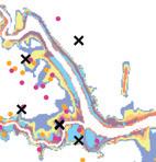
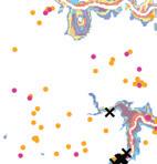
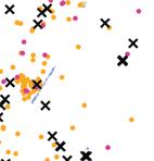
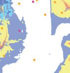
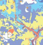
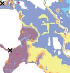

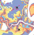
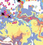
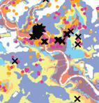
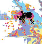
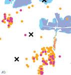
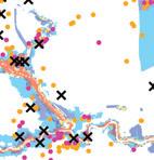
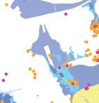
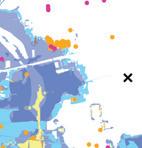
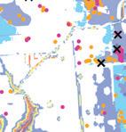
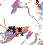
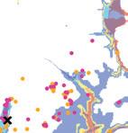

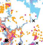
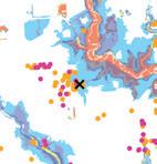
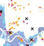
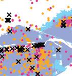
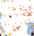
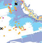
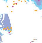


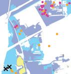
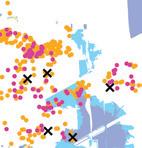
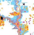
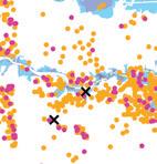
A typical detention pond would need to be almost a mile wide to manage the two-billion gallons of water that is expected during a Harvey-level event.
We propose distributing water management throughout the neighborhood, rather than building a centralized detention pond.
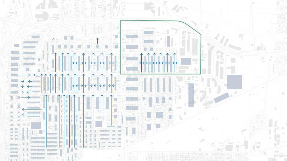
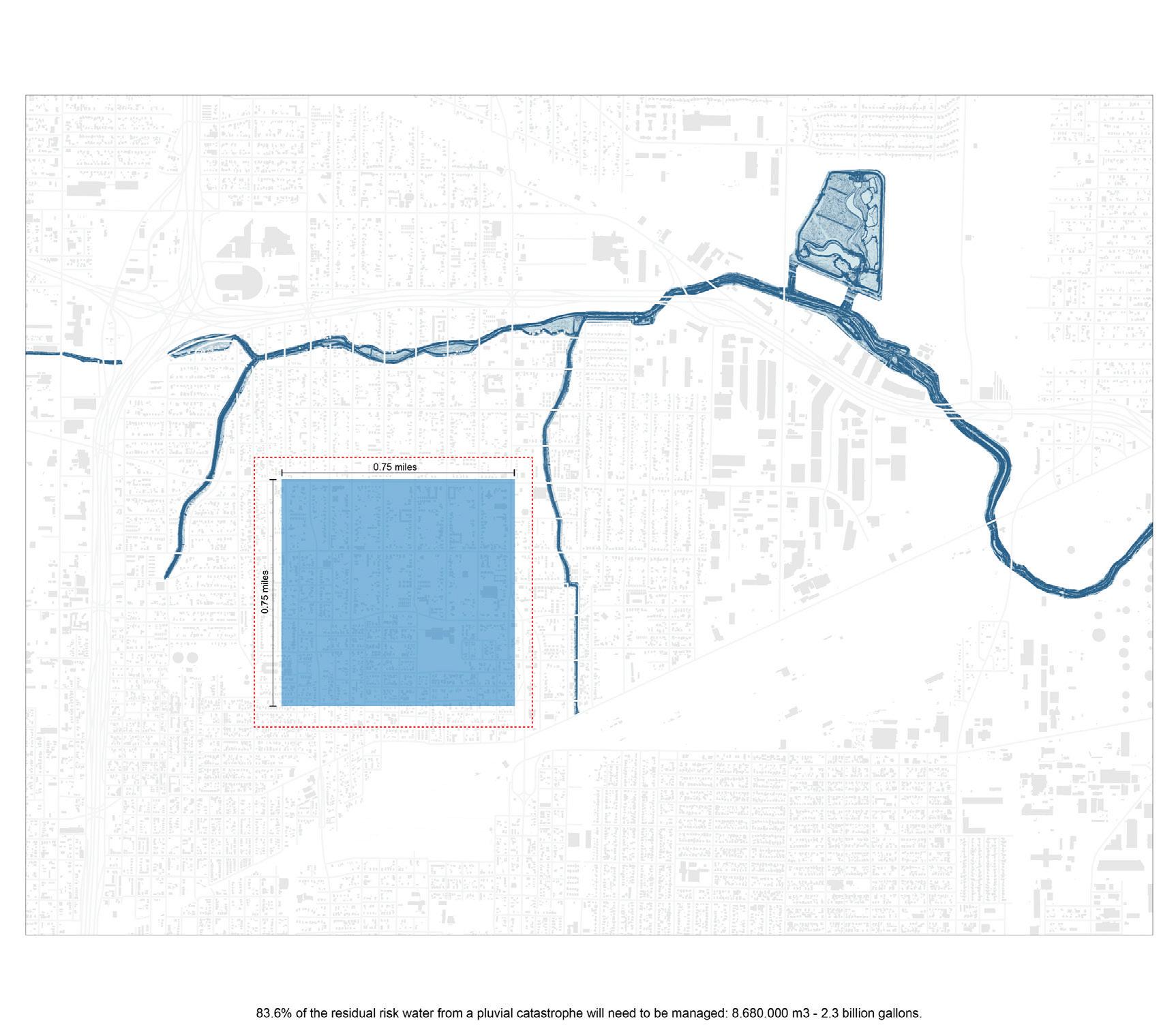
Using existing hard infrastructure strategies to mitigate flooding would mean creating a large detention pond (almost a mile wide) to manage the over two billion gallons of water that could become trapped in Kashmere Gardens during a Harvey-level flooding event.
However, what if the necessary carrying capacity was distributed via detention ponds located throughout the neighborhood? And what if the financing and implementation of this water-detention strategy was tied to the millions of dollars saved by reducing insurance premiums and limiting or eliminating potential damage to downstream businesses and infrastructure?
The centerpiece of our planning proposal is an innovative Finance by Design framework based on the following three principles. First, the problems of floodwater management and environmental remediation are intertwined; second, that social and health benefits should be monetized to benefit the Kashmere Gardens community; and third, that public infrastructure investments must be linked to sustainable outcomes.
Our approach to landscape design is equally important by affirming above all that water can be Houston’s strength. In addition, our approach holds that flooding and pollution are public issues that require public solutions across scales. In addressing these issues, we prioritize ecologically-driven, sustainable solutions and aim to keep communities together and in place wherever possible. Finally, we believe that any value creation from implemented solutions should directly benefit community members.
1. EXISITING CONDITIONS
2. INDIVIDUAL HOME ELEVATION FOR FLOOD MITIGATION
Resilience by Design
3. LEADS TO ISOLATION DURING CATASTROPHIC FLOODING
4. PROPOSAL TO CARVE SOIL FROM BLOCK INTERIOR TO COLLECT WATER
5. USE THE MATERIAL AS FILL TO CREATE MOUNDS FOR FLOOD MITIGATION
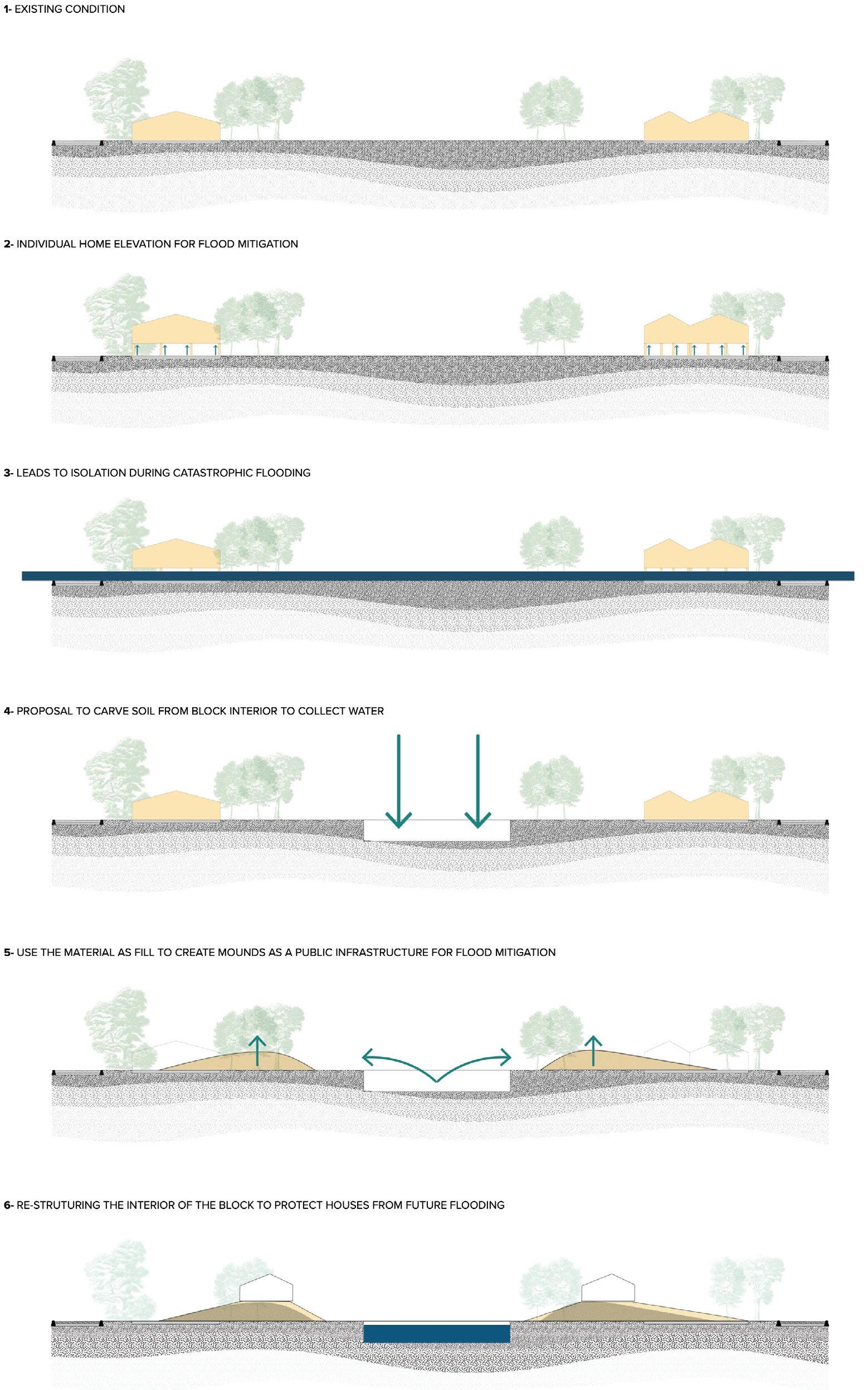
6. RESTRUCTURE THE INTERIOR OF THE BLOCK TO PROTECT HOMES
Raising home elevations with fill from the network of detention basins would remove many homes from the flood plain.
Through our two systems of intervention, we attempt to directly connect resilience outcomes for the neighborhood (i.e. health, environmental, economic, and infrastructural outcomes) to specific planning and finance inputs and design activities. Our planning process includes a variety of intertwined approaches. Community engagement helps to build community understanding and buy-in of the problems at hand and what bold, design tools and features are available. Simultaneously, it engages private sector and financial institutions in the process of designing the financial approaches required to fill the gap in funding, incorporating tools such as environmental impact bonds and resilience bonds. It also convenes city officials and neighborhood residents in creating a new governance structure equipped to manage and operate new infrastructures, ownership structures, and financial resources. A pilot program showcases proposed physical design elements, including new housing typologies, neighborhood detention ponds, and phytoremediation processes on undeveloped lots for community input. Lastly, the plan uses an implementation strategy that includes temporarily re-housing residents on the pilot blocks within the neighborhood (which are currently empty). This block-by-block design implementation strategy reduces neighborhood interruption and creates gradual familiarity with the neighborhood’s new physical and social infrastructures.
The City of Houston determined they need $25B to make the city more resilient. Through federal grants and allocation as well as local govt bonds, they raised $6.4B leaving them $18.6B short of their target amount.














MIT’s Cityscope ESG+C framework attempts to connect existing frameworks to communities by adding critical indicators on how investments shape community resilience. The additional lens could provide cities like Houston with access to more private funding by incentivizing investors looking to boost the sustainability of their portfolios.

















Many of Houston’s largest employers and polluters are committed to emissions reductions. Using the ESG+C framework, the companies could invest in local resilience projects via philanthropy or investment agreements with a social benefit rider.












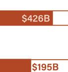





































































































To address the neighborhood’s wider industrial pollution hazards, we propose an evergreen buffer between the neighborhood and highway as well as remediating detention ponds in place of an underutilized railyard. The detention ponds feature pools at different elevations to catch and clean polluted water using phytoremediation, microfiltration, and microorganisms.
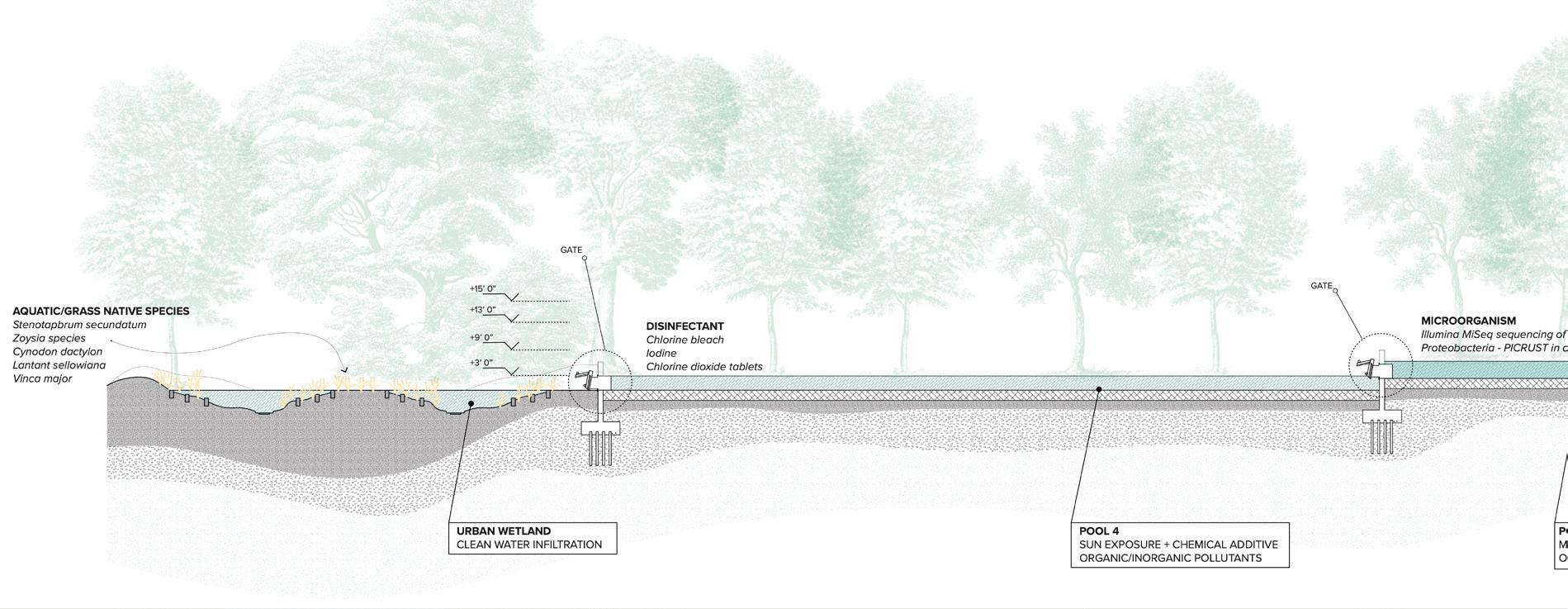
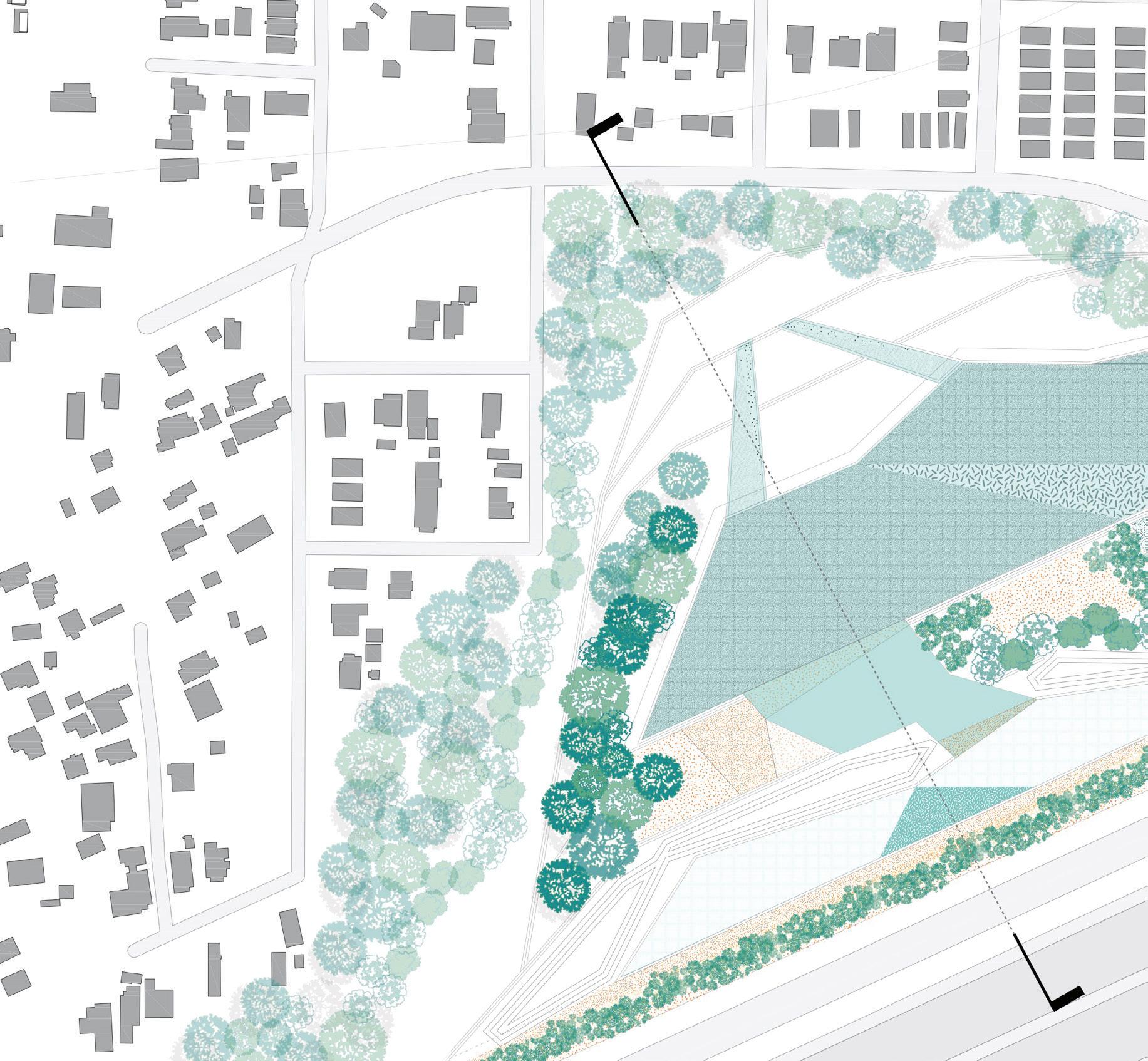
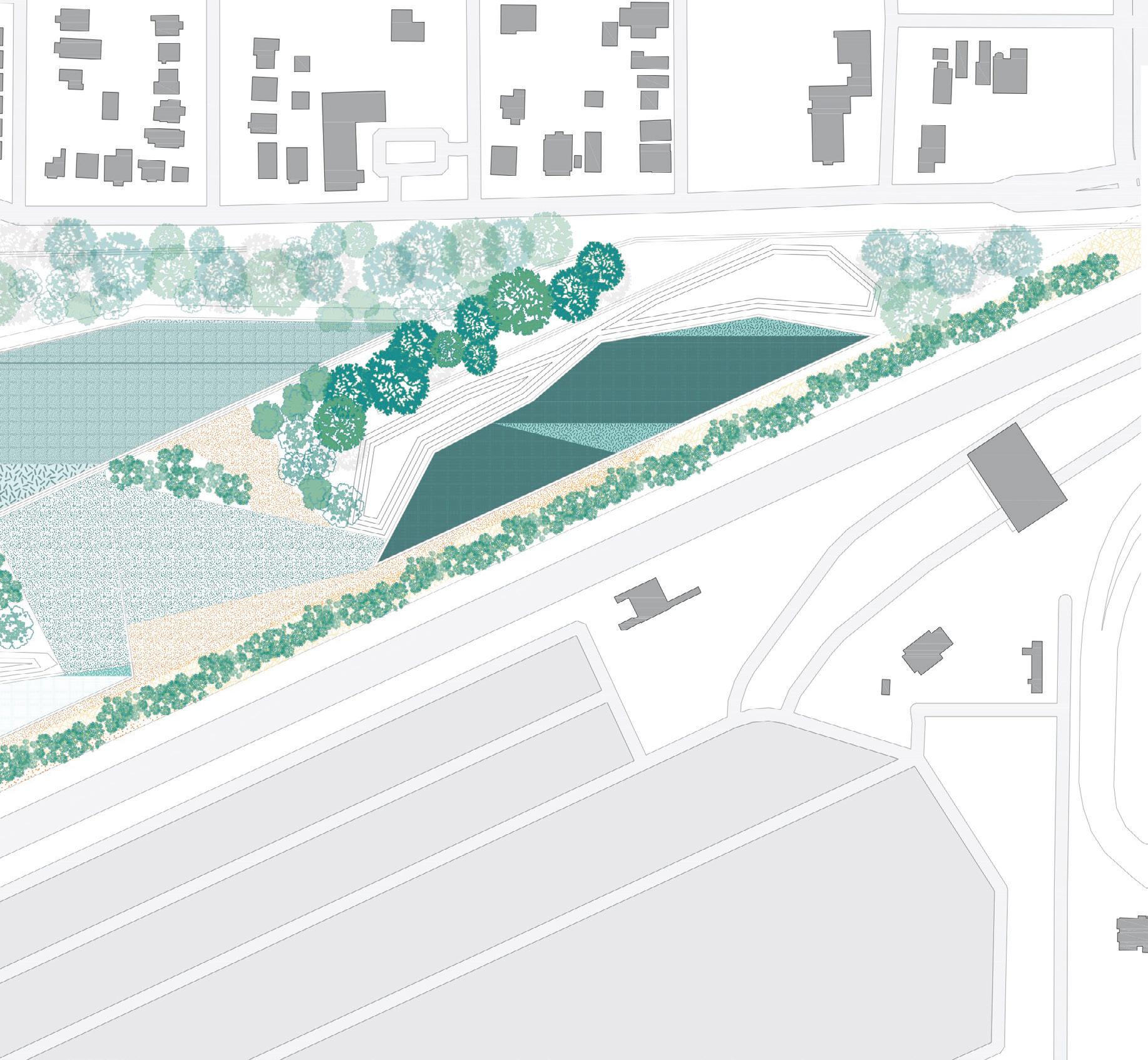
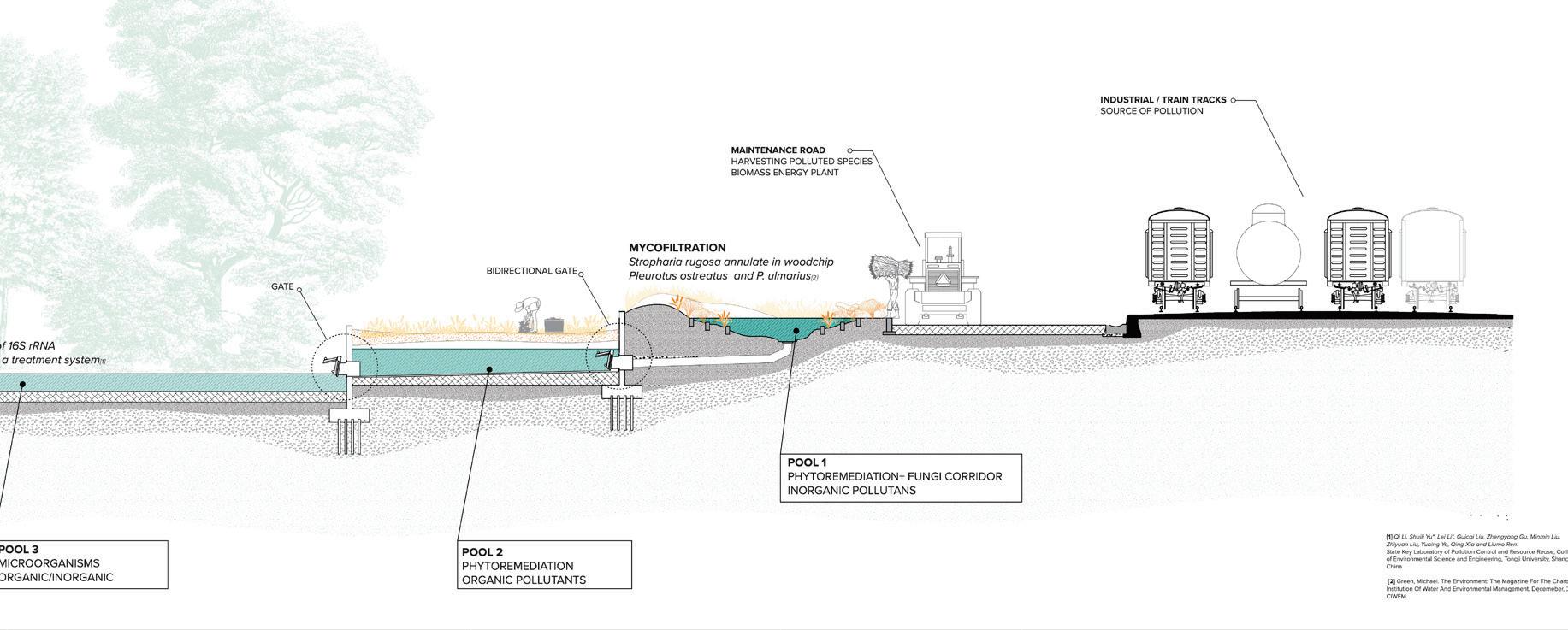
Our design proposes redistributing the water that could accumulate during a Hurricane Harvey-level storm into each of the neighborhood’s blocks and re-wilding parts of Kashmere Gardens as a pollution remediation strategy. The new neighborhood block structure centralizes water detention, uses in situ cut-and-fill processes to build mounds as public flood mitigation infrastructure, and increases public green and shared spaces.
As a macro-scale intervention, we propose a one-hundredfoot evergreen buffer along both highways to control noise and air pollution as well as a densified interior commercial corridor that creates new space for tree coverage. To address Kashmere Gardens’ industrial soil pollution hazards, we propose detention ponds with pools at different elevations to catch and clean polluted water using phytoremediation, microfiltration, and microorganisms. Once the water has been cleaned, it is directed to an urban wetland designed for public use and eventually filters back into the aquifer.
These landscape design proposals were derived from spatial analysis. By using Satellite Digital Elevation Modeling and GIS data of the existing topographic situation and street edges, we were able to identify the points where water accumulates during a storm. We joined those points with diagonals connecting the blocks’ interiors to create a novel collection system composed of eight-foot-deep ponds.
The soil removed to create these ponds is placed on the ponds’ edges to create mounds that support the foundations of new and adaptively re-used homes. These mounds comprise a new public infrastructure and a low-carbon home elevation strategy that addresses flooding as a public problem. This approach contrasts with existing infrastructural strategies, including elevation on stilts (at the level of the individual home) and the addition of pavement and other impervious surfaces (at the lot level).
A typical block design. Remodeled and new homes placed on mounds surround an ecologically diverse network of ponds.
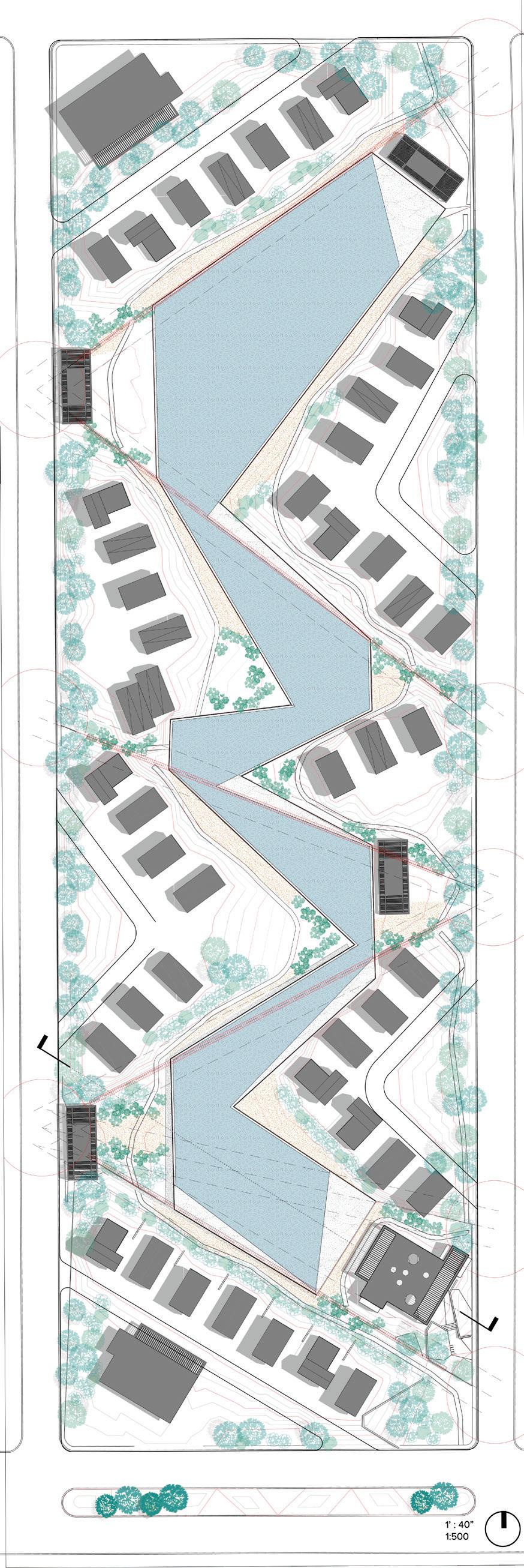
The pond network serves as a habitat and open space for human and nonhuman inhabitants. The Community Center welcomes and educates visitors and residents.
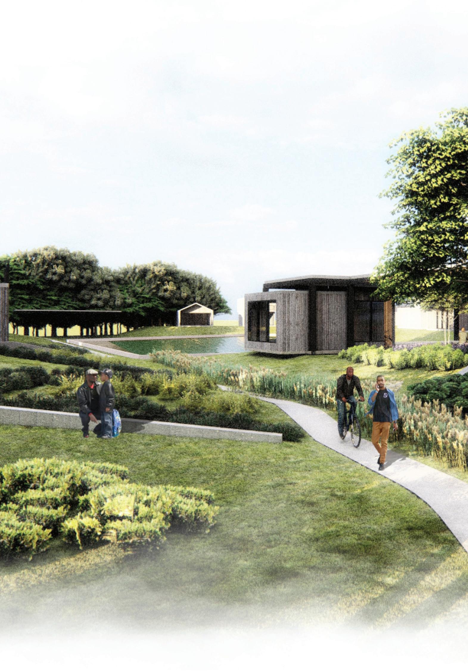
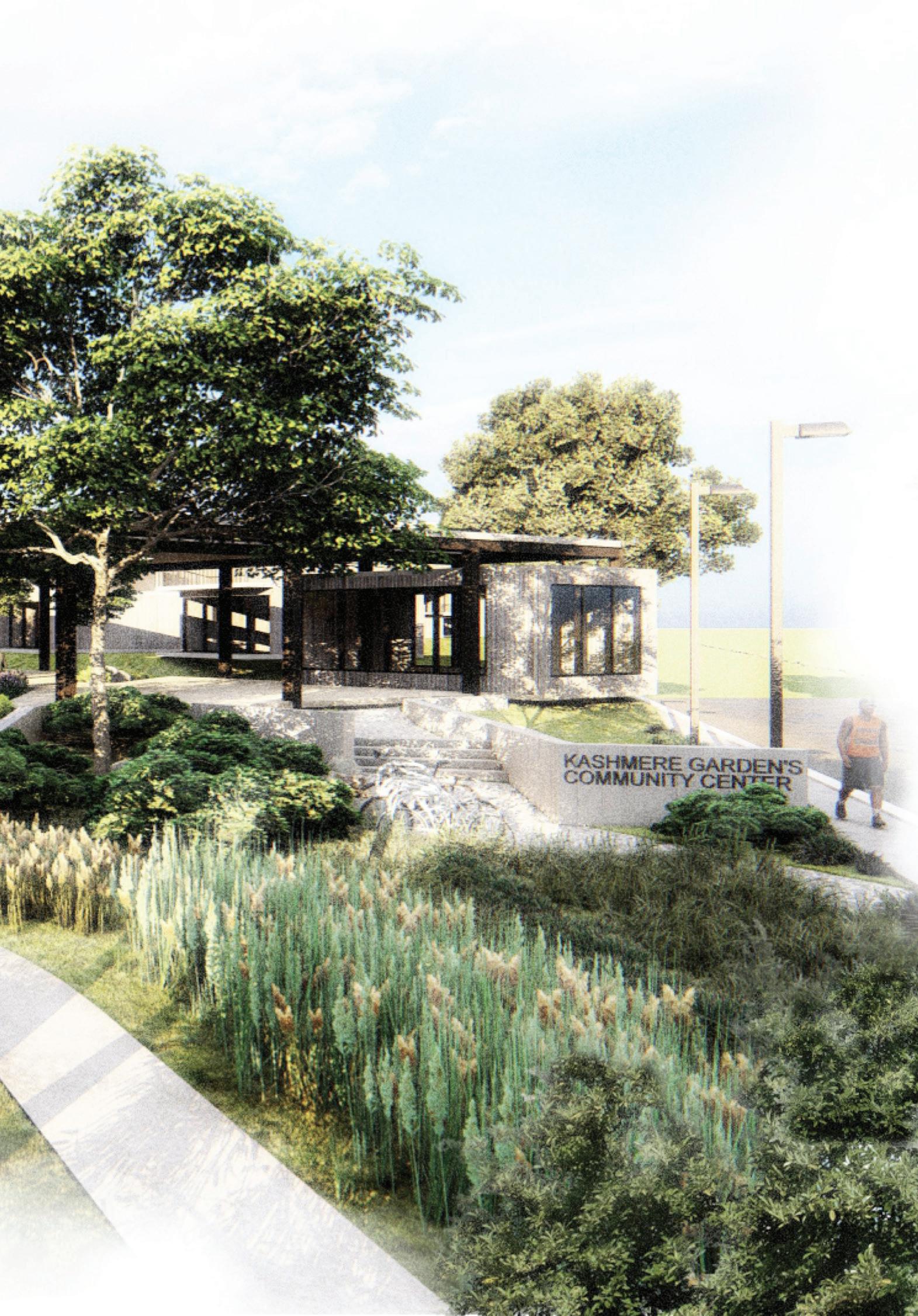
The model demonstrates the holistic relationship between water management, ecological health, and housing.

The Boldly Living with Water Plan is an innovative, urban-landscape intervention system that aims to protect the Kashmere Gardens community by reshaping physical and social infrastructure to increase the neighborhood’s resilience.
The urban planning approach aligns costs, benefits, and outcomes for residents, the city, and industry stakeholders. By collecting water upstream in Kashmere Gardens during possibly catastrophic pluvial events, sites downstream with robust insurance policies and high risk of contamination can be protected, and the neighborhood can be rewarded for this key service using innovative finance and community ownership models.
Landscape architecture is a core strategy to address climate risk and environmental justice issues using green infrastructure. The result is a new relationship and way of living with water for the neighborhood. This includes a clear set of design tools to carve the interior of each block to collect large amounts of water and slowly release it into an updated stormwater management system. This ultimately creates a new holistic system to cleanse the air of harmful pollutants, reduce soil contamination and runoff, as well as building new public infrastructure for flooding, mitigating future flooding catastrophes and their associated trauma.

For decades, the people and land of Houston have experienced air, water, and soil pollution stemming from its biggest industries. They have also suffered from extreme weather events related to climate change. Our project serves as a toolkit for neighborhoods in Houston to develop their own mechanisms and tools to adapt to climate change, the energy transition, and housing demands, resulting in a better quality of life. We selected three representative neighborhoods whose problems build on one another—Third Ward, Manchester, and the La Porte area—as our pilot sites for establishing new urban amenities, improving the neighborhood environment, and mitigating the negative effects of pollution, flooding, and sea level rise.

 Yijia Duan Kai Guo Percy Long
For decades, Houston’s biggest industries have driven harmful environmental impacts, particularly air, water, and soil pollution. The city’s residents and surrounding environment have also suffered from repeated extreme weather events, and the risks posed by storm surge and severe flooding are only accelerating due to climate change and sea level rise. Such impacts and risks threaten Houston’s prosperity and future. The city needs a more sustainable path forward.

We began our project by creating a toolkit to help neighborhoods in Houston imagine how they might develop strategies to create a better quality of life in the face of climate change, the energy transition, and the housing affordability crisis. The toolkit is structured according to varying contexts



The three selected neighborhoods for study. and proximitiesurban, industrial, or naturalto provide sixteen scenarios for possible interventions, including landscape buffers between the industrial and residential areas, eco-filters to mitigate flooding and pollution, and mixed-use compact communities. Combined with incremental versus large-scale development mechanisms, the toolkit can be flexibly deployed over decades as the city evolves.

Our framework guided the development of guidelines, tools, and mechanisms to help Houston adapt to various challenges
After developing this toolkit, we selected the neighborhoods of La Porte, Manchester, and the Third Ward as representative pilot sites for increasing urban amenities, improving the neighborhood environment, and reducing the harmful effects of pollution, flooding, and sea level rise. We chose these sites because they address different and compounding issues, starting from the Galveston Bay and working inland up the Ship Channel and towards downtown. Storm surge risk plagues the La Porte area and threatens the entirety of Houston fronting Galveston Bay; Manchester suffers from severe pollution and environmental contamination due to the Valero refinery that surrounds it; and the Third Ward, a low-income neighborhood near downtown, faces disinvestment and housing affordability issues. Together, the projects build on one another to envision a resilient future for Houston.
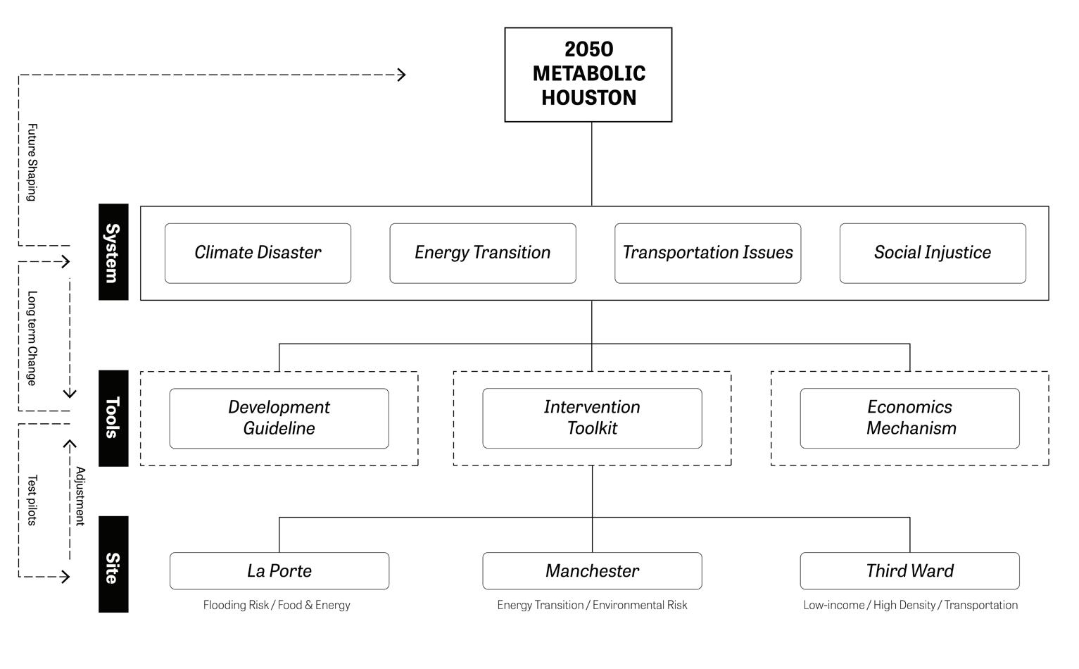
Each component of the toolkit works together to propose a robust framework for adaptation.
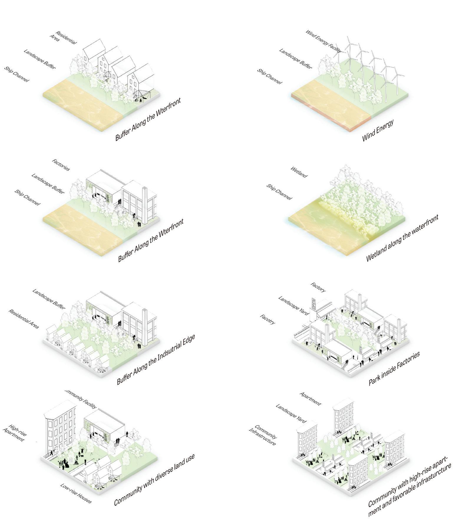
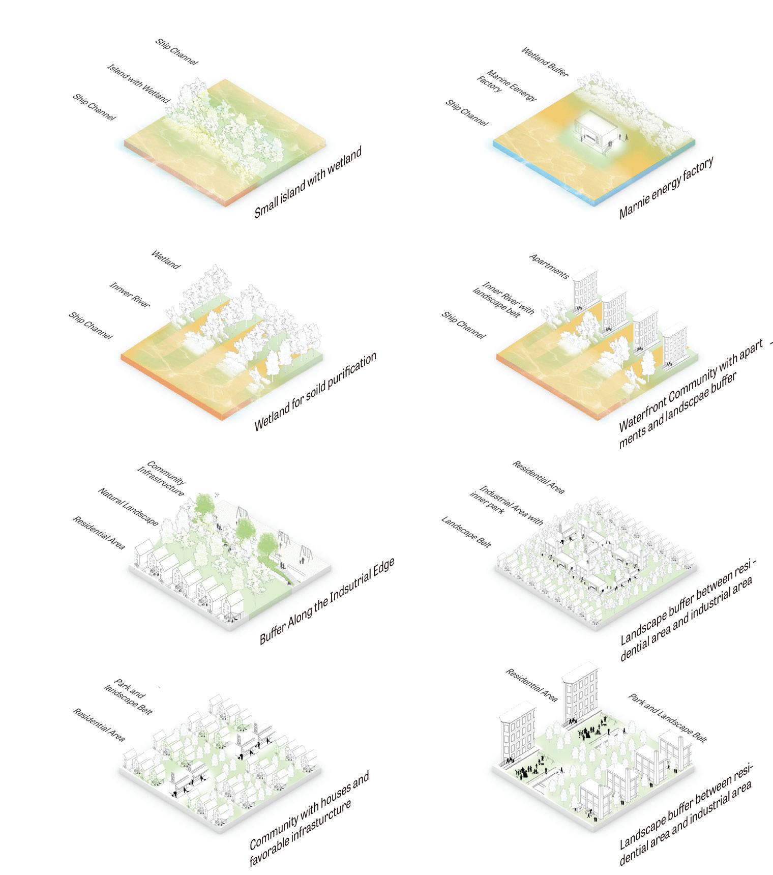
Demographic and urban fabric analysis shows that flooding and food security are of primary concern in La Porte. It occupies a uniquely vulnerable coastal location: a powerful hurricane, in conjunction with future sea level rise, could conceivably destroy nearly all the buildings in this area. Moreover, the region’s industrial zones also pose a high risk for chemical release and environmental contamination in the event of storm surge. Needless to say, such an event would disastrously compound La Porte’s food security problem.
We began by analyzing the site’s current landform section to better understand storm surge and flood risk. The inland La Porte area sits at around six meters above sea level, with the vulnerable coastal area at just four meters. The “Ike Dike,” a coastal barrier plan for Galveston Bay developed after 2008’s Hurricane Ike, is approximately 4.3 meters high. This might not protect the region from a severe one-hundred-year storm: some scenarios have projected a storm surge reaching nearly ten meters1. Additionally, according to the IPCC2, by 2100, the sea level will rise by 1.55 meters. The level of coastal protection clearly needs to be higher.
Our project proposes a multi-curve barrier system to protect against extreme storm surges while accounting for sea level rise. The system includes multiple levels of protection so that, for example, minor storms only require use of the outer barriers. This multi-curve system also interacts with the current coastal area in different ways. To address habitat loss related to industrial development, the tidal space between curves, in conjunction with a connected path system, incorporates both recreational and ecological benefits. A wind turbine
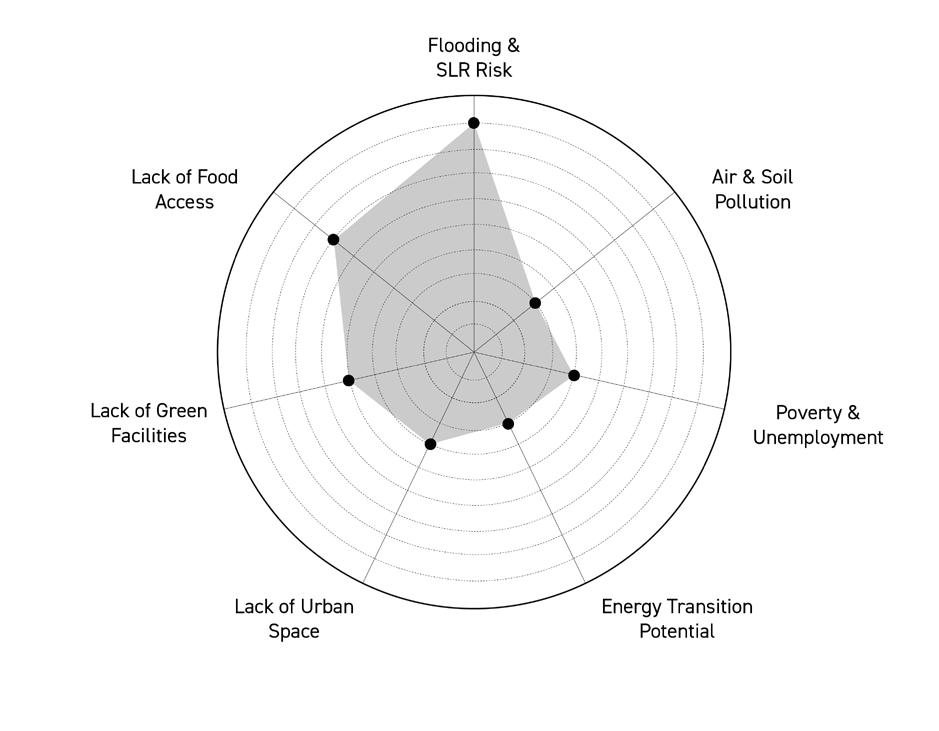








The map above demonstrates the outsized risk La Porte faces from sea level rise, storm surge and urban flooding. The proposed Coastal Spine, or Ike Dike, will not be sufficient alone to adapt to these risks.
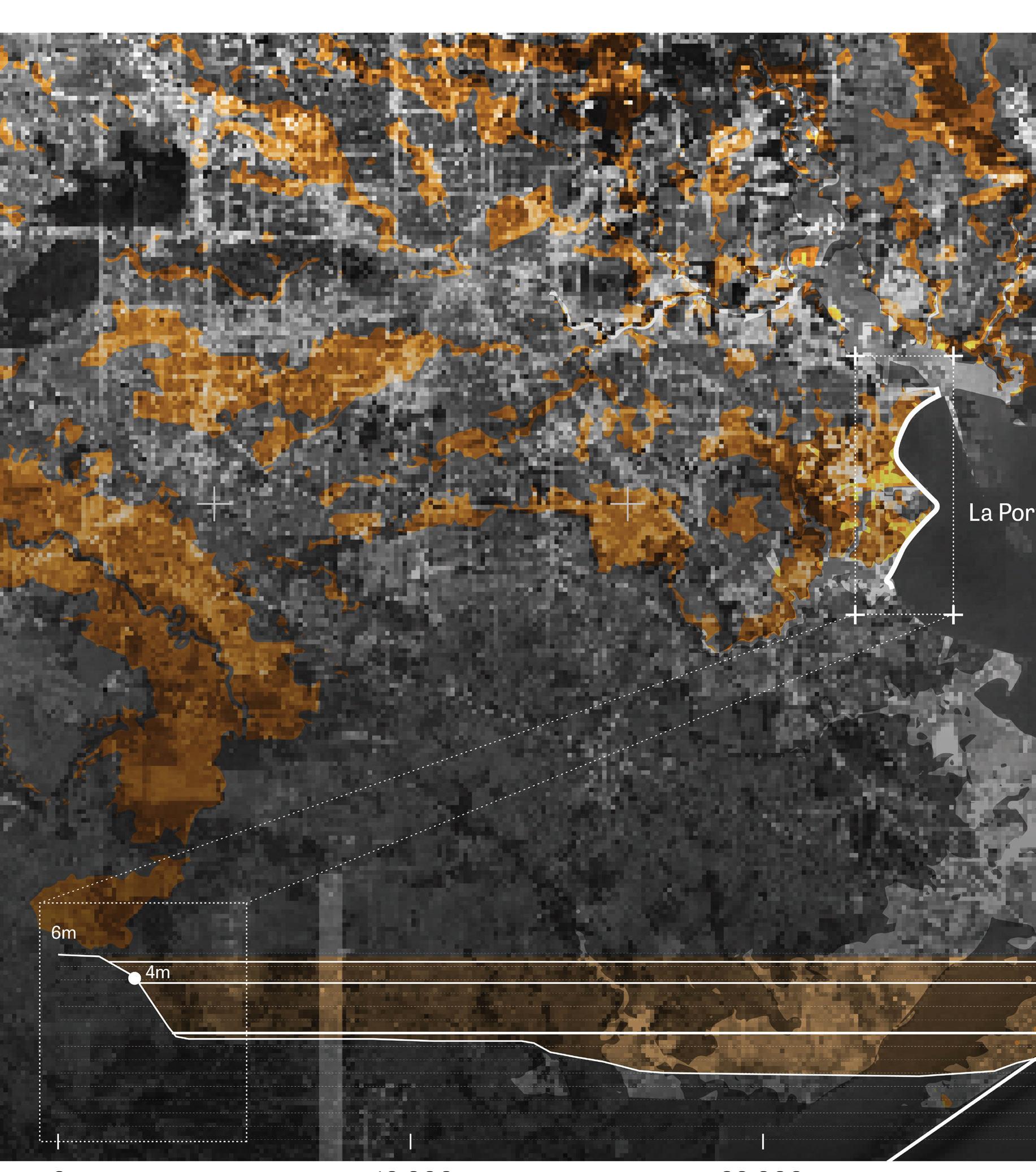
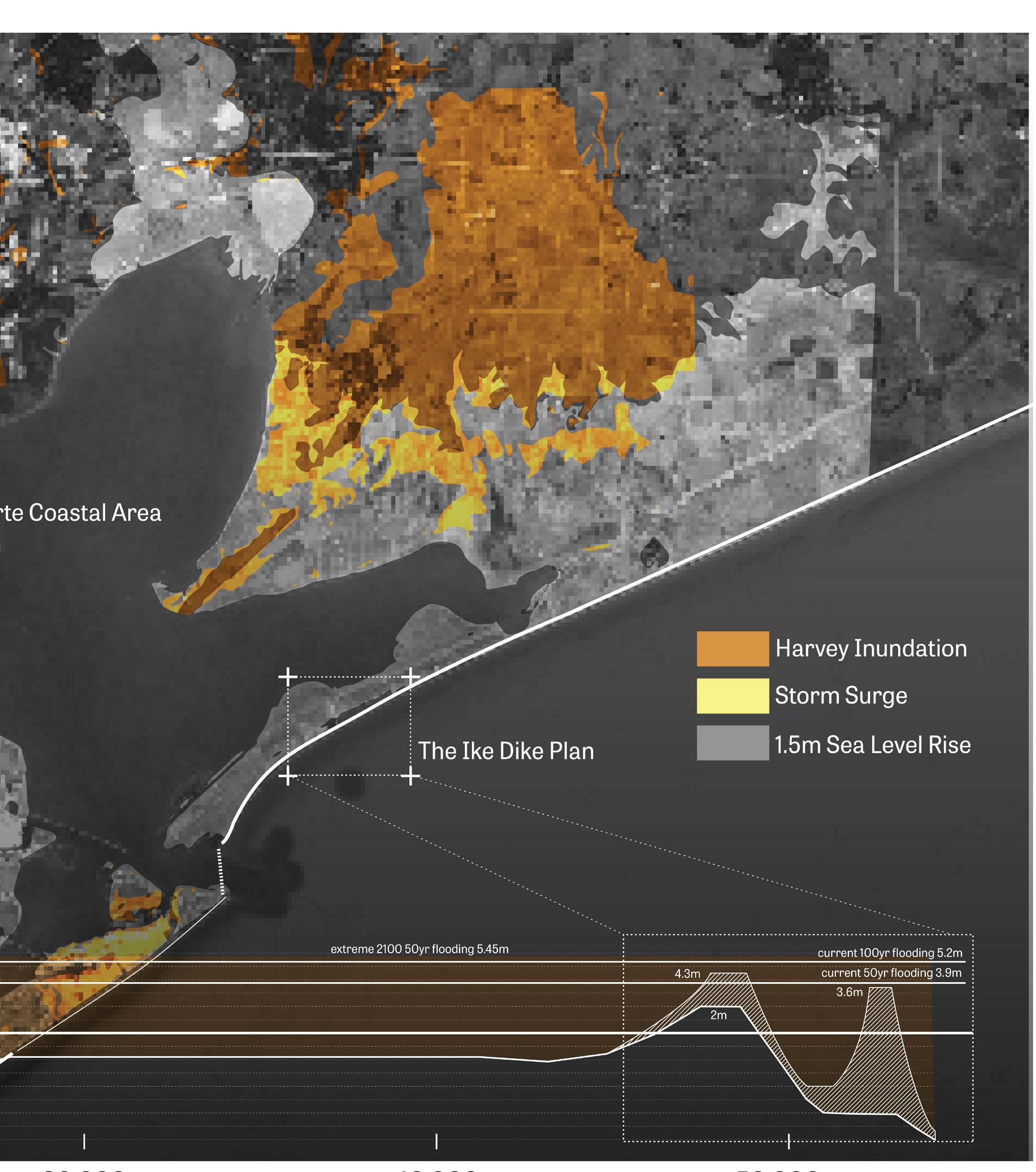
grid leverages the barrier system for energy generation. Coastal land behind the barriers, now protected, can be used for solar generation and community agriculture to build resilient and self-sufficient communities. The multi-curves will be built in several phases and completed by 2050. This process aims to protect the La Porte area from the worst of storm surges and sea level rise in the coming decades.
Due to this robust storm surge barrier, the community inland is no longer at risk of severe flooding. It can, therefore, be built more compactly, enabling a transition from the current industrial zone into a denser, more resilient, and multi-functional living environment, as our interventions demonstrate.
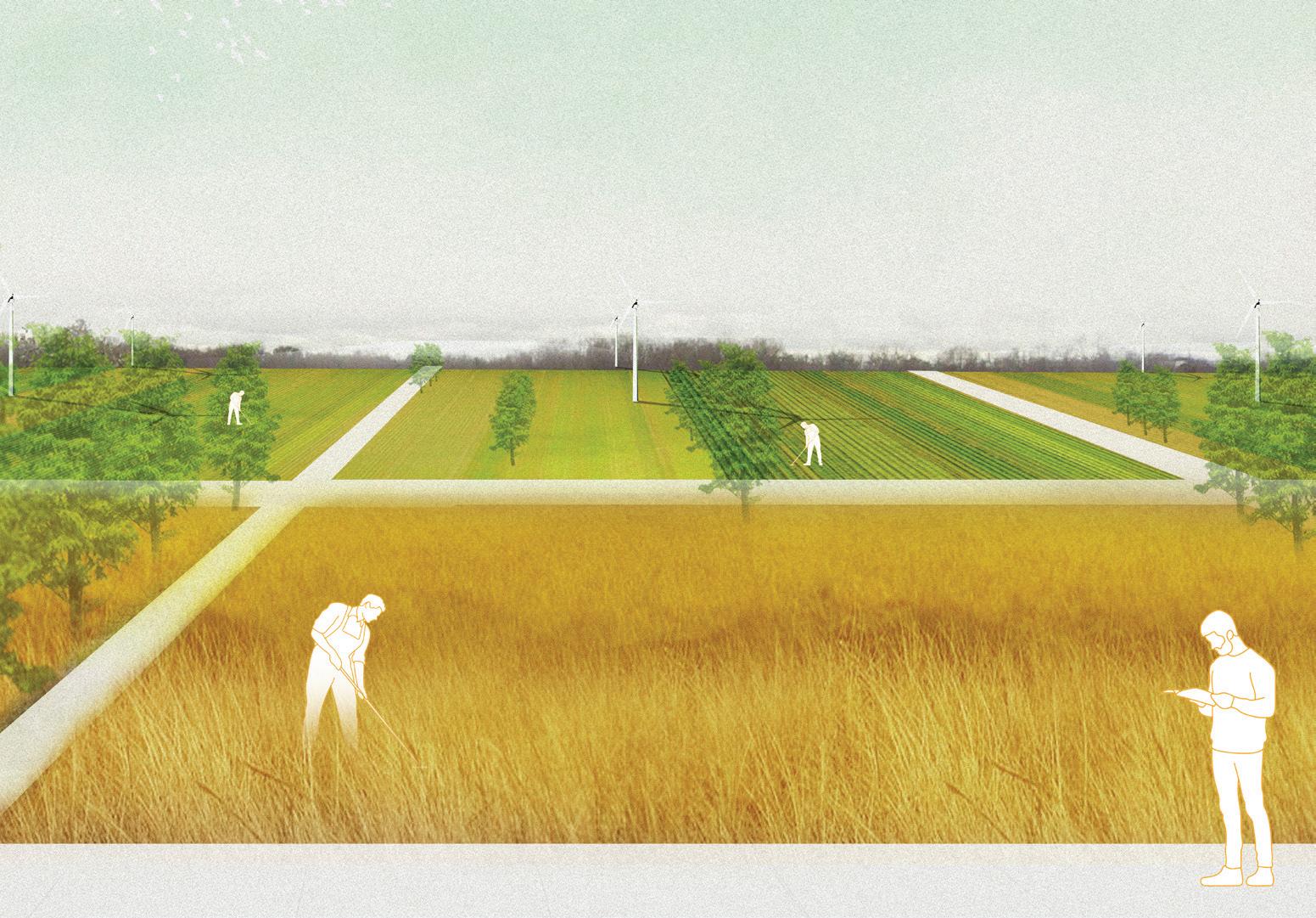




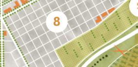


14.


La Porte site plan with relevant adaptation toolkit methods applied. The multi-curve barrier system accounts for sea level rise and storm surge while providing important public space.

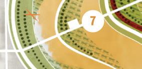


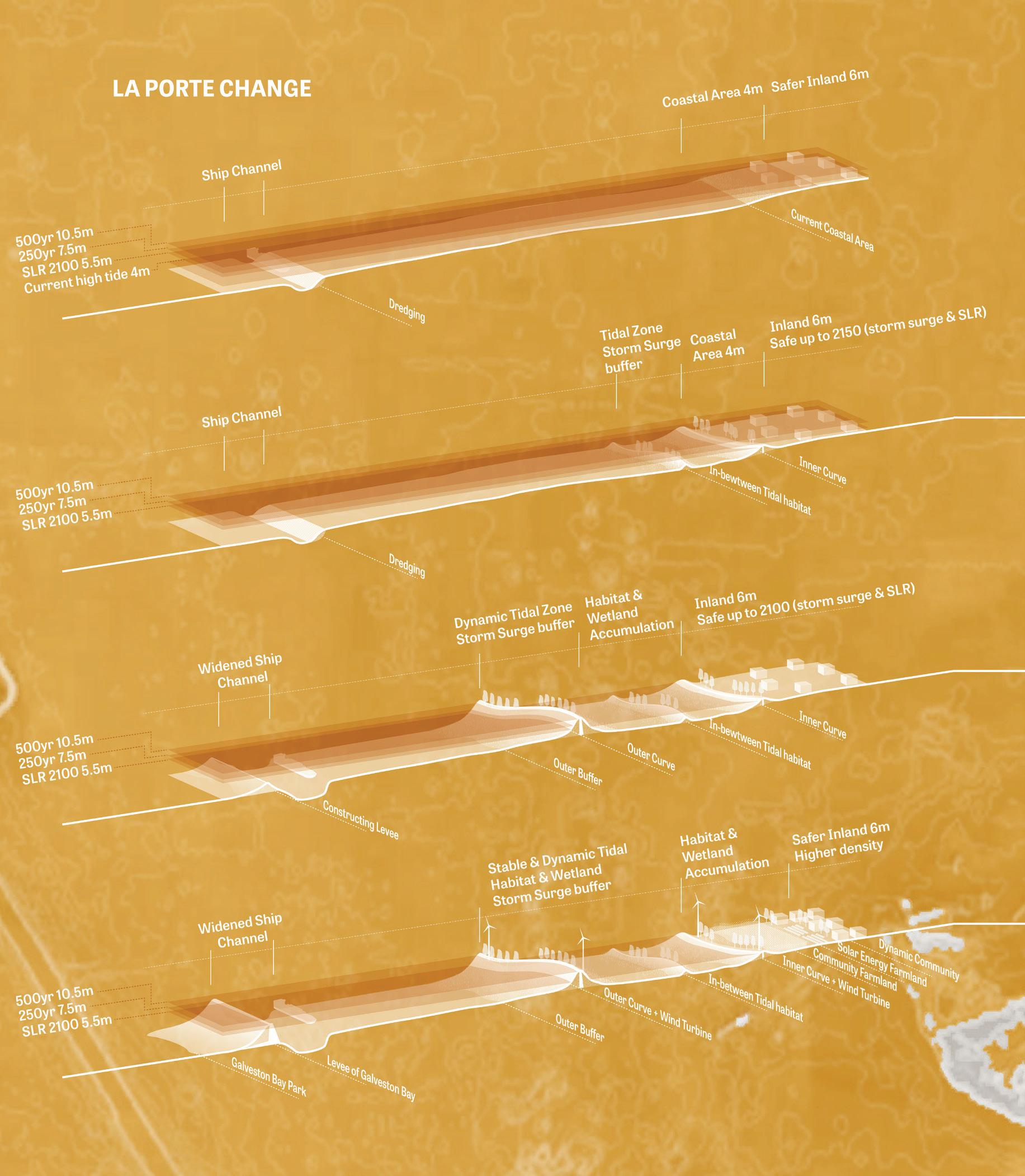
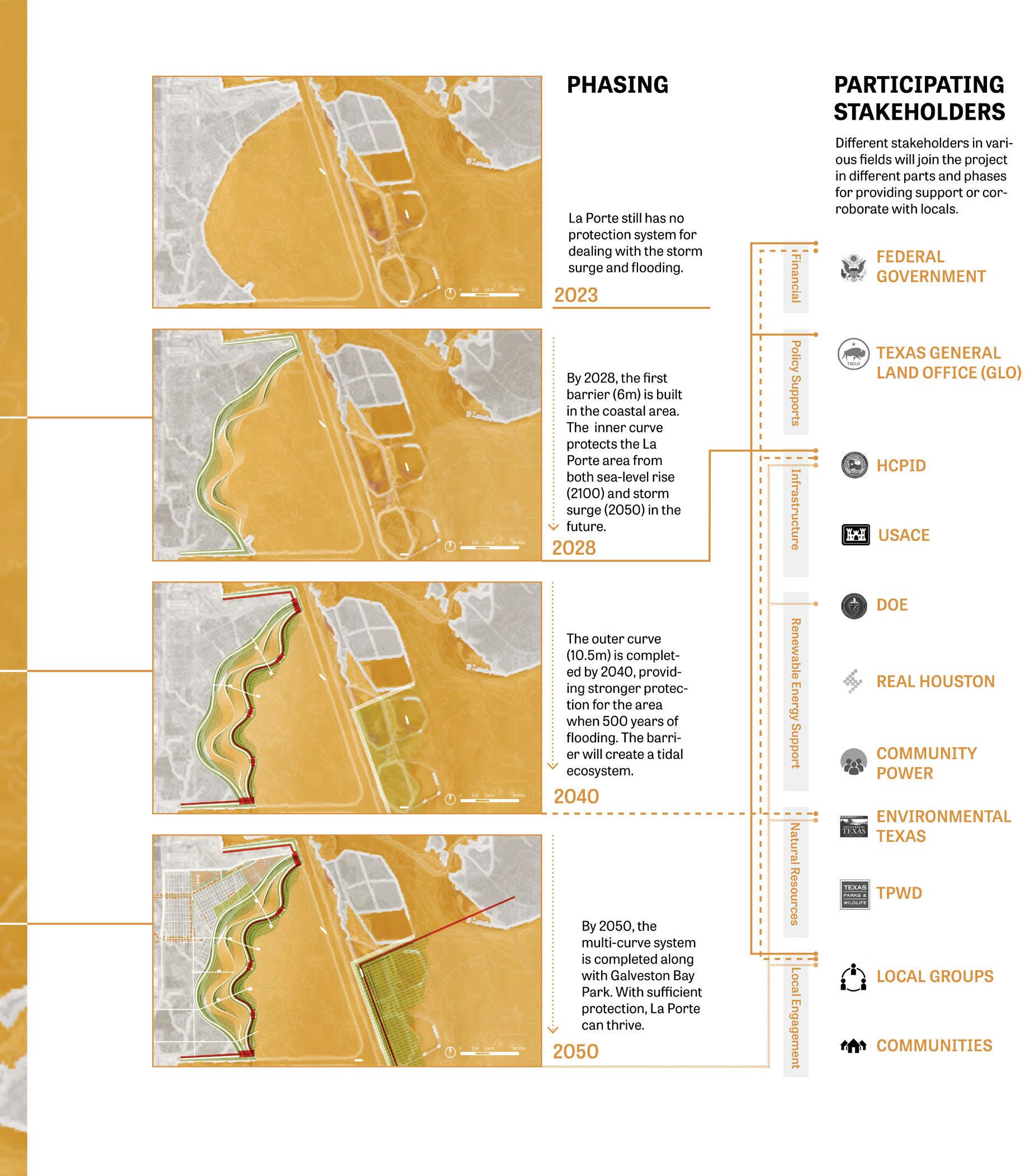
 The multi-curve system protects from storm surge and serves as public open space.

Transforming the industrial riverfront is critical for securing Houston’s future. In our demographic and environmental analysis, we found serious environmental inequities present in Houston’s Manchester neighborhood. Over ninety percent of the neighborhood’s residents are minority groups with relatively low incomes and educational attainment who, moreover, face high levels of exposure to air and water pollution3. A geographically small neighborhood, Manchester is completely cut off from neighboring residential areas by oil refineries, railyards, and other industrial infrastructure, including twenty-one surrounding toxic release facilities. As the neighborhood comprises a small pocket of residents in the middle of an active industrial area, it is very difficult to completely mitigate the worst effects of pollution.
Manchester’s air quality is some of the worst in the Houston Metro.
Manchester is a minority-majority neighborhood and considered low-income.




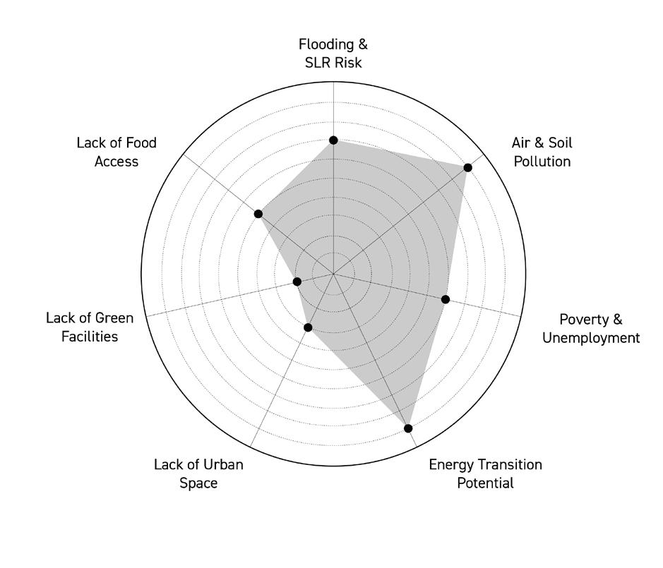
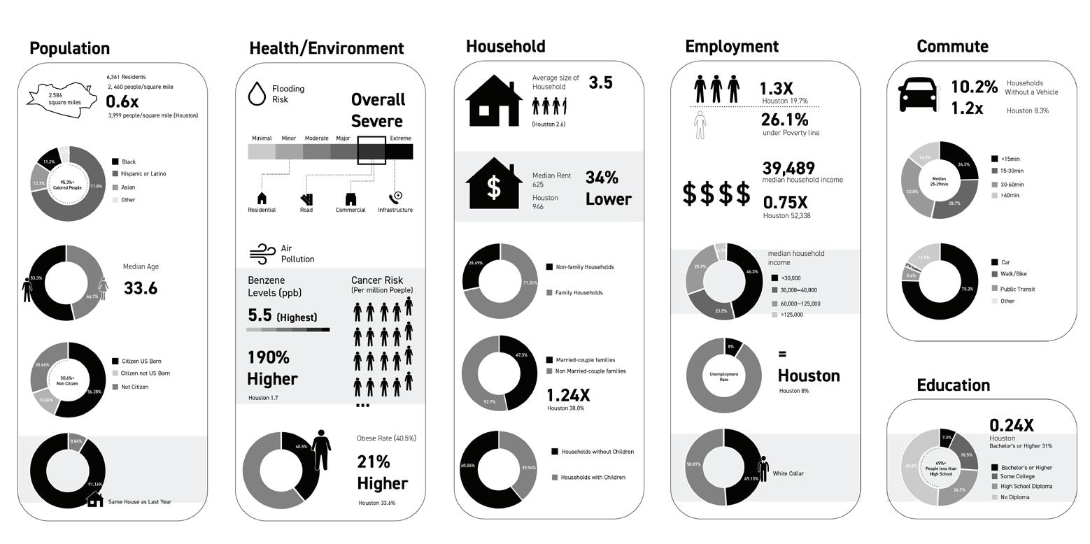
To achieve our goal of environmental justice and accelerate the energy transition, we propose the following policies:
1. Residents in Manchester are progressively relocated to the Third Ward through a community buy-out and land-swap program. More affordable housing and other facilities are built in the Third Ward to accommodate the new residents and build a more dynamic community.
2. An environmentally-sensitive hydrogen production plant is established in the existing residential area to aid in the region’s transition to clean energy.
3. The existing fossil-fuel refinery is transformed into a clean energy facility that provides new jobs for the region. A netzero industrial hub of Hydrogen and Clean Electricity is established.
4. A continuous landscape belt, park, and buffer remediate the soil and protect the environment.
Manchester’s new land use plan will include plants that produce clean electricity and hydrogen. A new landscape system surrounds the clean-energy hub. A buffer between the riverfront and neighborhood helps to prevent flooding and remediate the soil, while another buffer between residential and industrial areas protects nearby neighborhoods from air and water pollution. These measures will contribute to the energy transition while rendering Manchester more ecologically and economically resilient.

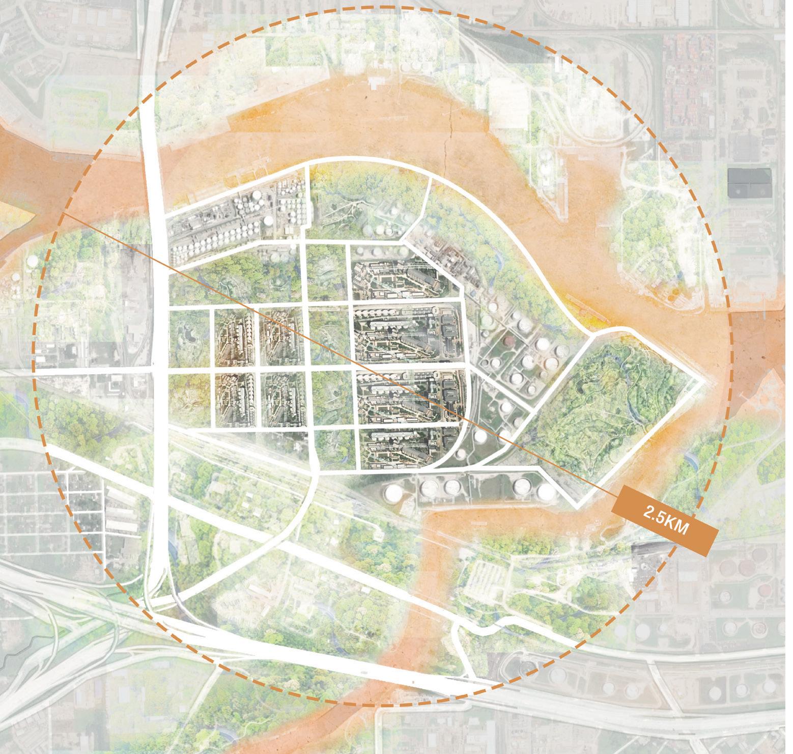


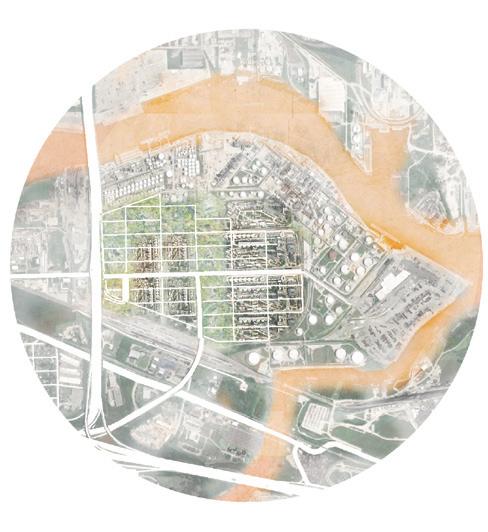

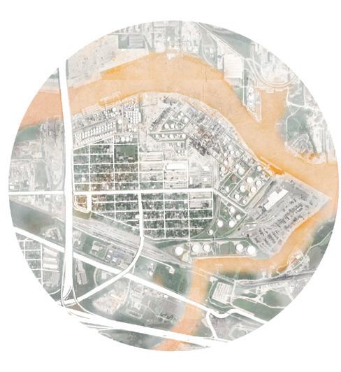
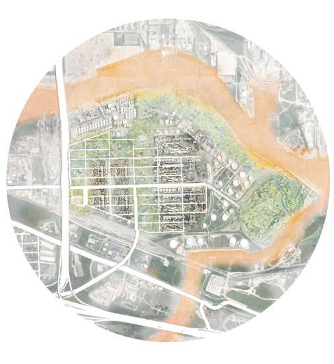
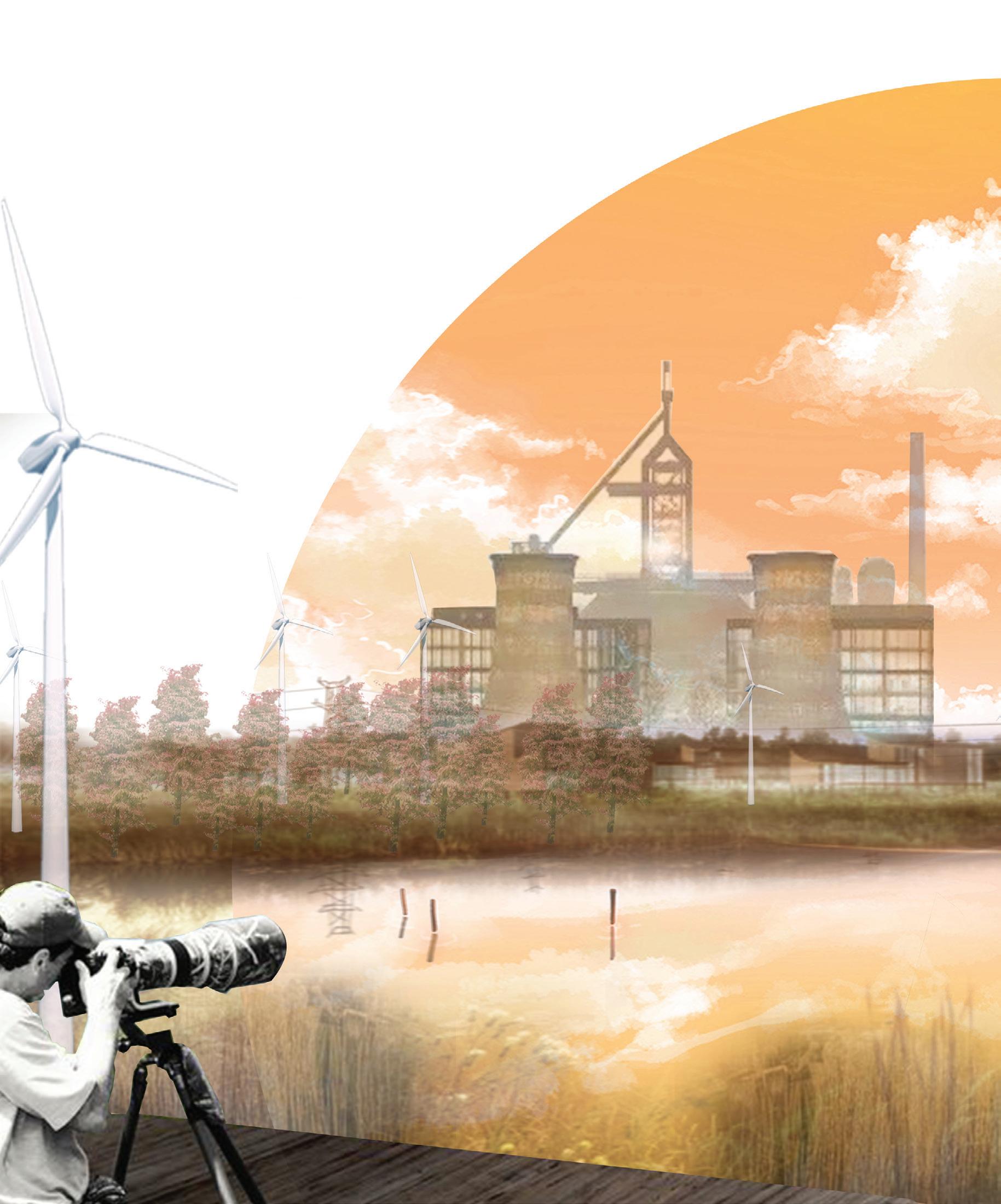
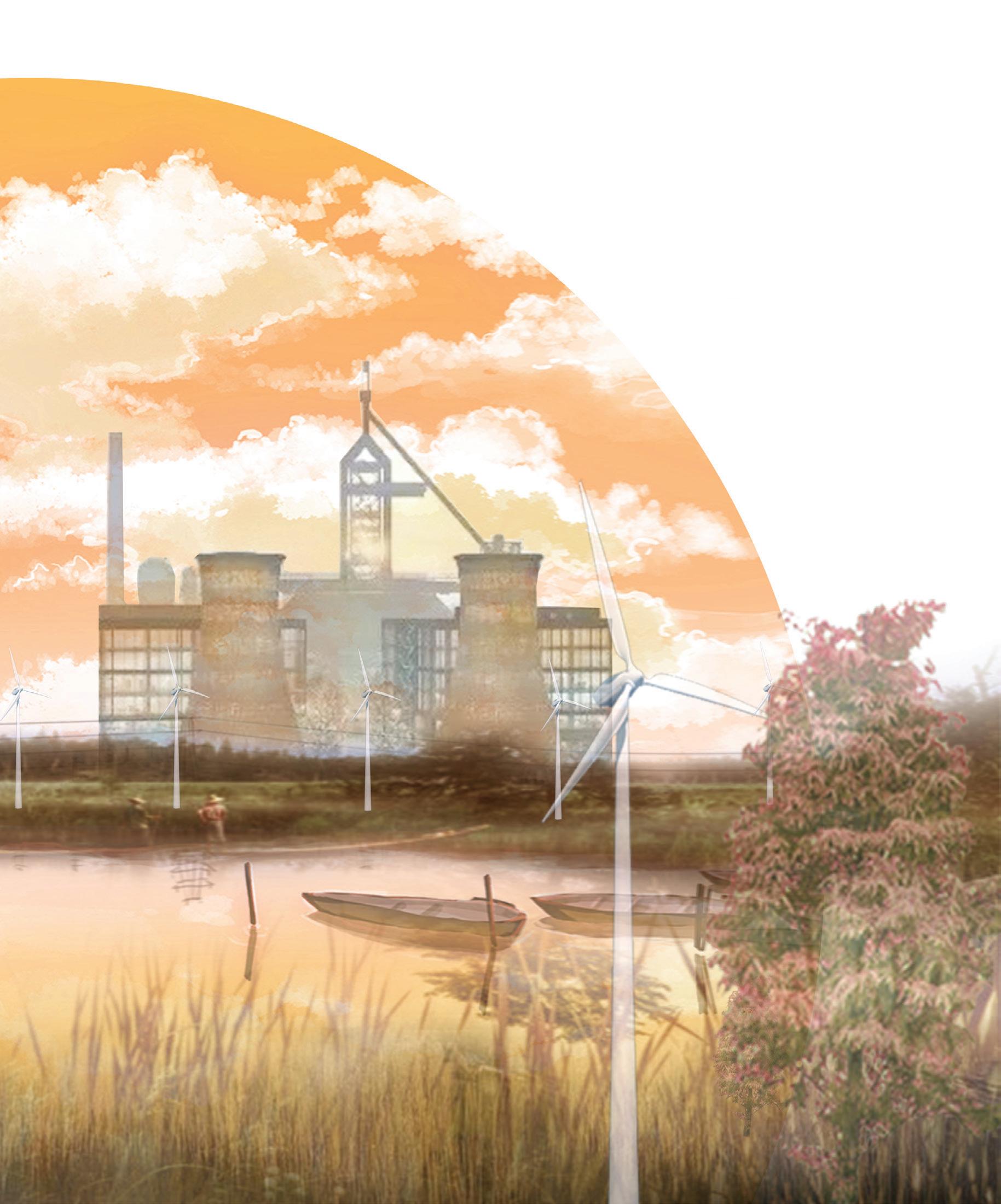
With Manchester thus reimagined to focus on clean energy generation through a city-run buyout program, the Third Ward, in turn, can densify to accommodate the Manchester community. Our proposal for the Third Ward explores how this densification could happen.
Our demographic analysis of the Third Ward reveals a community that is primarily African American with an average household income lower than Houston’s overall. Decades of disinvestment have left the neighborhood with many vacant lots. However, because of the Third Ward’s low land values and prime location near Houston’s downtown, recent years have seen a wave of new development and gentrification. The new developments consist mostly of infill homes on individual lots. Large single-family houses and townhouses with front-loading two-car garages comprise most of the development. By maximizing the lot coverage and prioritizing cars, these developments kill the potential for street life or public activities and leave little room for green infrastructure or community open space. In addition, these new homes are not affordable for Third Ward residents or the relocated Manchester community.
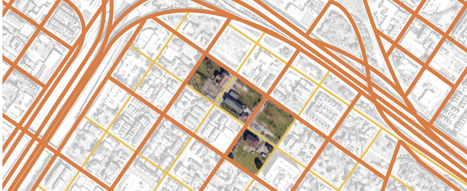
Decades of disinvestment have left the neighborhood with many vacant lots, but it now faces gentrification.
The Third Ward is primarily African American with a lower household income than Houston overall.


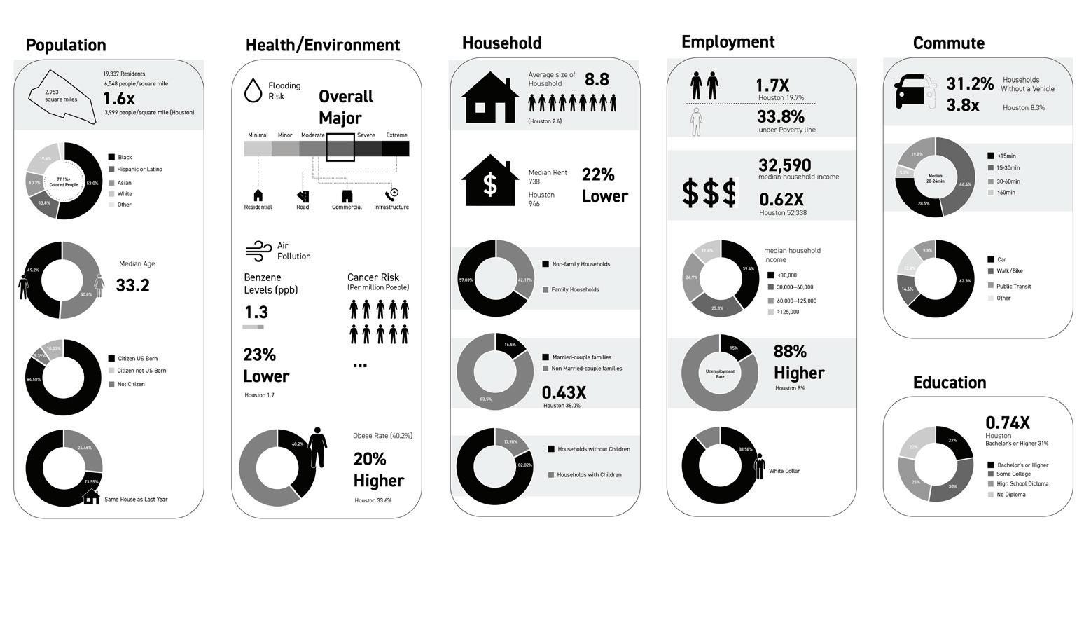
Our project explores alternative building models to densify the Third Ward in order to provide affordable housing and build a vibrant community. The first step is to differentiate between streets and break down the neighborhood’s blocks. Currently, all the streets within the Third Ward are wide roadways that encourage high-speed car travel. However, the Third Ward, with its proximity to downtown, has the potential to be less car-dependent. Some of the neighborhood’s streets can be reimagined as walkable pedestrian streets that feature green corridors between blocks, providing recreational spaces for the community and retain rainwater to prevent flooding. The second step is to insert development into vacant lots. It is currently difficult for a single family to afford an entire empty lot and self-develop their property. However, under a community landtrust model, several families can pool resources and develop housing together on one or several empty lots. The parcels fit together like puzzles to make up a reimagined block, providing variety and adaptability within the urban grid. The land trust builds small houses on each parcel, while residents can share in-between open spaces for recreational activities. By developing these affordable building groups, the community land trust profits from developing community retail. It also provides other (currently absent) public urban amenities, such as playgrounds, kids’ parks, community agriculture, a farmers’ market, an outdoor theater, and a dog park.
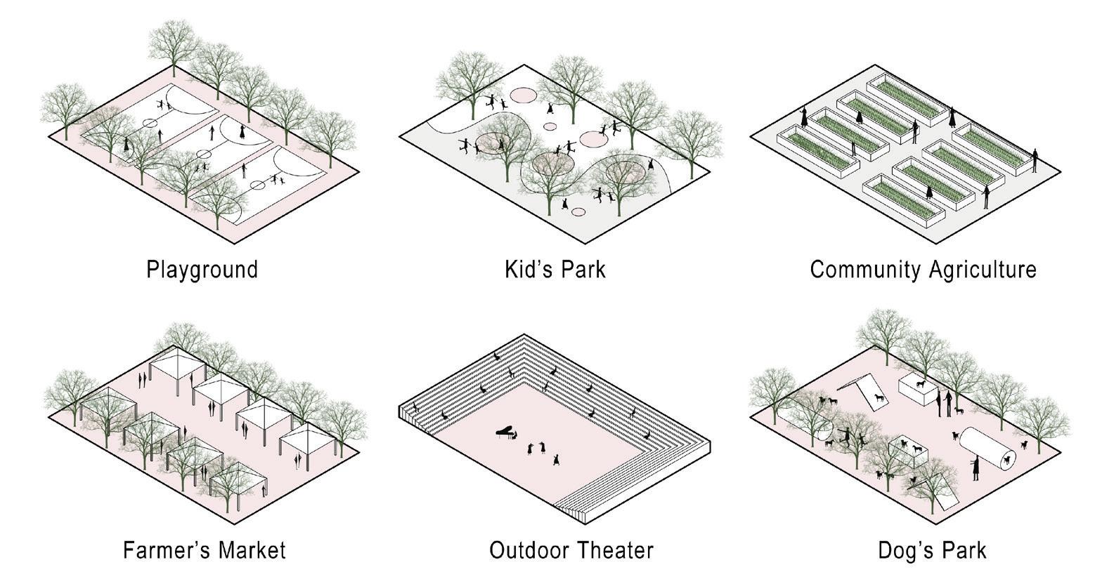
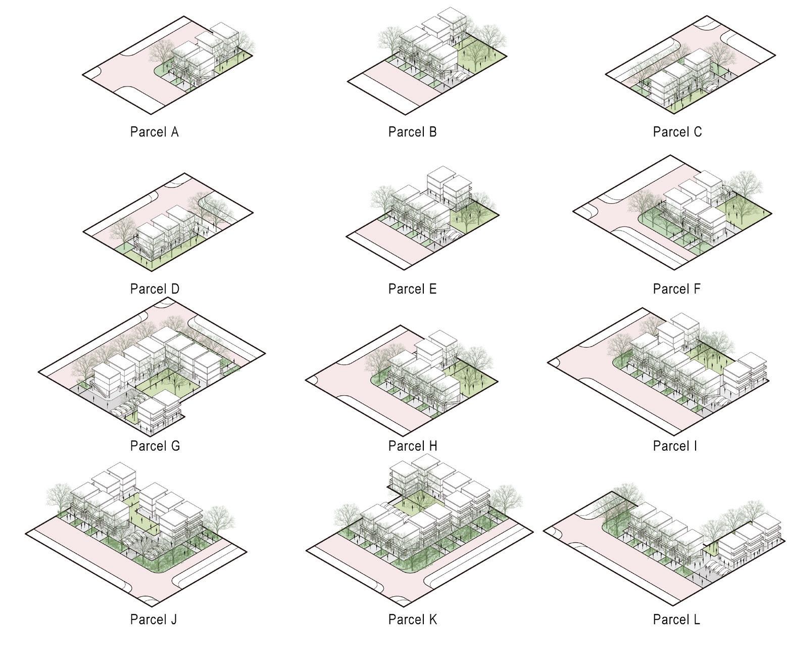
1. Sebastian, Antonia, Nick Irza, Jason Christian, and Philip Bedient. 2014. Review of Galveston County Residential Storm Surge Damage Model User Manual. Austin, TX: The Texas General Land Office.
2. “NASA Sea Level Change Portal.” n.d. NASA Sea Level Change Portal. https://sealevel.nasa.gov/data_tools/17. org/10.1289/ehp.11593.
3. “Air Toxics and Health in Manchester | Union of Concerned Scientists.” n.d. Www. ucsusa.org. https://www.ucsusa.org/resources/ air-toxics-and-health-manchester.
Our proposal envisions a new model for sustainable development in Houston, identifying three pilot sites to which we apply our toolkit. The strategies used across these sites deploy architectural, ecological, and economic tools to improve Houston’s ecosystem and living environment. While there is a long way to go, we hope our design provides a starting point for discussion and helps in collectively imagining a healthier, cleaner, more equitable, and more sustainable Houston.

Houston is on the cusp of an important moment. For decades, much of Houston’s identity and material wealth have been based on petrochemical extraction. Simultaneously, climate-change-induced extreme weather and unchecked industrial growth leave neighborhoods on the brink of environmental disaster. Our project argues that the energy transition in Houston will only succeed if it changes the story Houston tells about itself to one of decarbonization and environmental justice. Four hybrid infrastructure interventions leverage energy systems intersections to catalyze neighborhood change. In the process, they build towards a decarbonized Ship Channel region with community equity at its core.
 Christopher Ball
Grant Fahlgren
Houston is on the cusp of an important moment. A Category-3 or greater hurricane makes landfall on the Houston-Galveston area roughly every twenty-five years. The last such storm was Hurricane Alicia in 1982. Houston is overdue.
Hurricane Harvey made clear that the communities and infrastructure within Houston’s one-hundred- and five-hundred-year floodplains are very vulnerable to flooding. This vulnerability is compounded by the legacy of the vast petrochemical complexes that occupy low-lying areas of the Ship Channel, creating the potential for environmental disaster. Even absent extreme storm events, residents remain at risk.
Houstonians who live adjacent to petrochemical facilities in the Ship Channel—where concentrations of airborne carcinogen 1,3-butadiene are extremely elevated—are twenty-four percent more likely than west-side Houstonians to develop cancer or respiratory illness.1 Such impacts are largely felt by BIPOC communities. It is no surprise, therefore, that Houston is the birthplace of the environmental justice movement. Climate change will amplify the severity and frequency of storms in the future. To avoid devastating sea level rise, decarbonization will need to happen more rapidly than current COP26 targets. Both Texas’s critical role in energy production and Houston’s role in energy distribution will be challenged as competitors adapt in anticipation of a post-carbon future. Houston, however, has natural advantages in energy beyond oil. Solar, wind, and geothermal in and around Texas have tremendous potential to fuel the energy transition. These sources are now competitive with fossil fuel-based generation, and the business case for fossil fuel manufacturing has shown vulnerability, as shown by the recent closing of the Lyondell Basell refinery along the Ship Channel.
Given these environmental and economic pressures, what steps will allow Houston to transition from a petrochemical energy leader to a renewable energy leader?
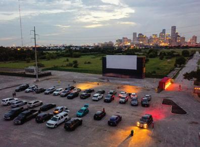

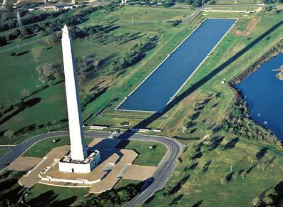
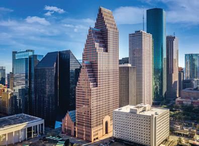
While Houston’s lack of zoning has allowed the petrochemical industry to situate itself next to residential areas, producing many of the aforementioned problems, this same flexibility in planning has created vibrant neighborhoods with unique characteristics and opportunities. This flexibility can create a more innovative and rapid transition if guided by principles of equity and environmental justice.
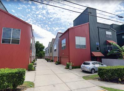
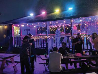
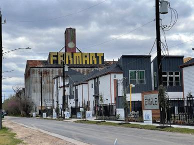
In addition to energy, the city of Houston is characterized by a culture of spectacle, as evidenced by its grand monuments and landmarks. This project takes the position that for Houstonians to embrace the energy transition, these existing characteristics will need to be embraced to engender a shift in the city’s self-conception. Our design centers on four sites moving outward from downtown along the Ship Channel towards a consolidated port. Each site represents a step in the energy transition process, incorporating community actors, a hybrid infrastructure intervention, and material and energy flows.
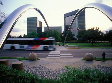

To avoid devastating sea level rise, decarbonization will need to happen more rapidly than current COP26 targets. Texas’s critical role in energy production will be challenged as competitors adapt in anticipation of a post-carbon future. Houston, however, has natural advantages in energy beyond oil. Given these environmental and economic pressures, what steps will allow Houston to transition from a petrochemical energy leader to a renewable energy leader?
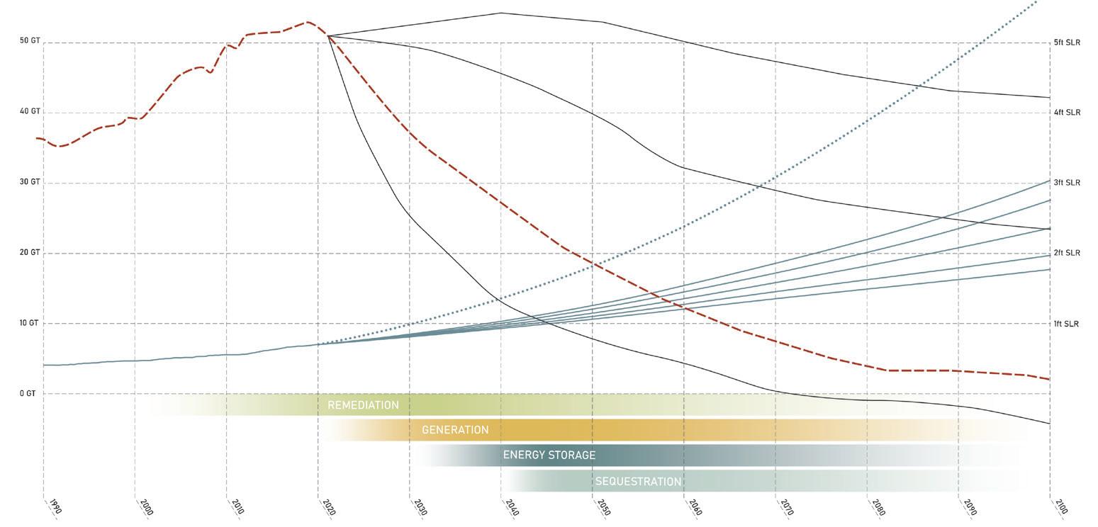
"AFTER THOROUGHLY ANALYZING OUR OPTIONS, WE HAVE DETERMINED THAT EXITING THE REFINING BUSINESS BY THE END OF NEXT YEAR IS THE BEST STRATEGIC AND FINANCIAL PATH FORWARD."
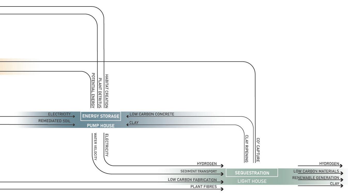
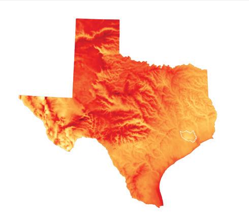
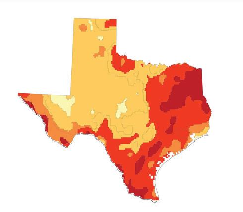
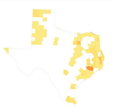
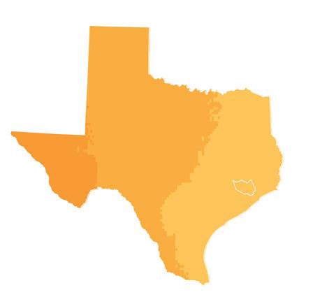


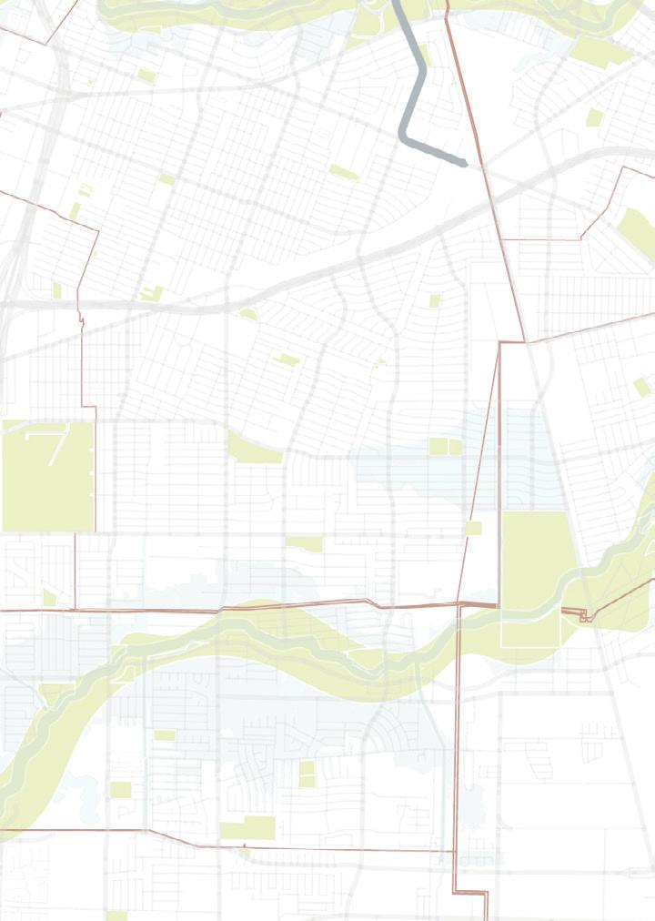
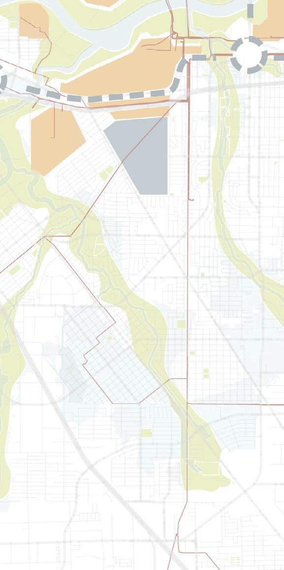

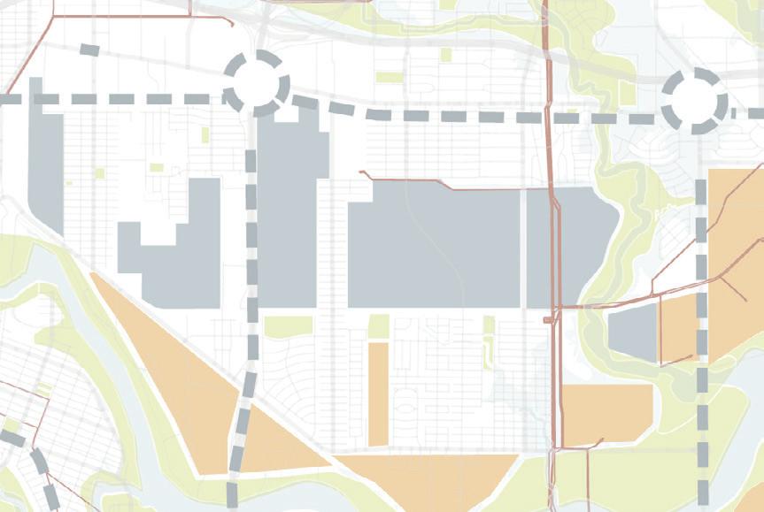

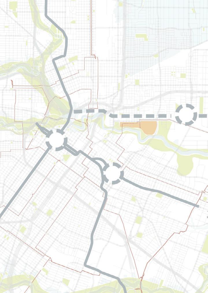
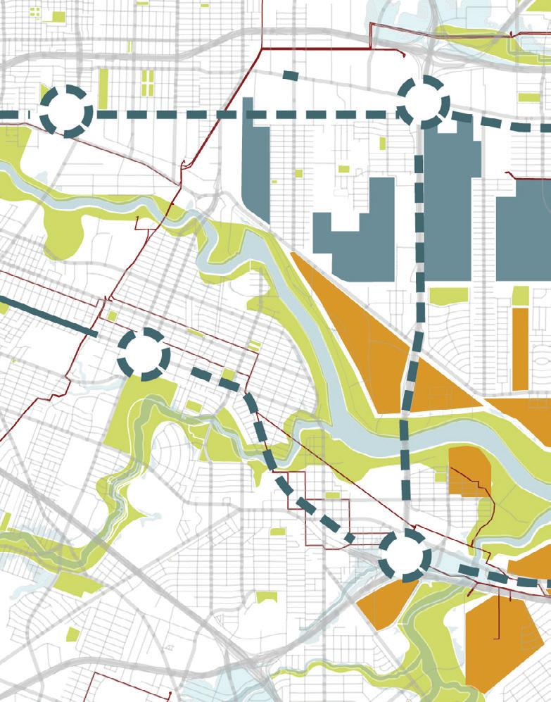
CHANNELVIEW,
HARRISBURG-MANCHESTER, 2040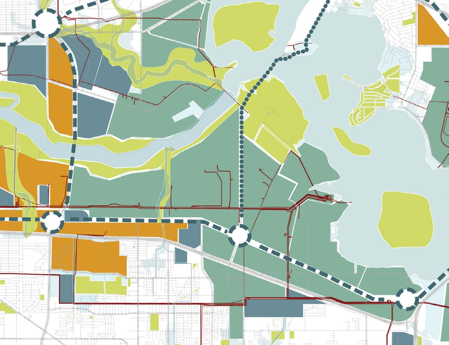

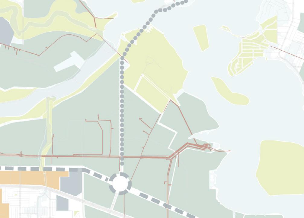


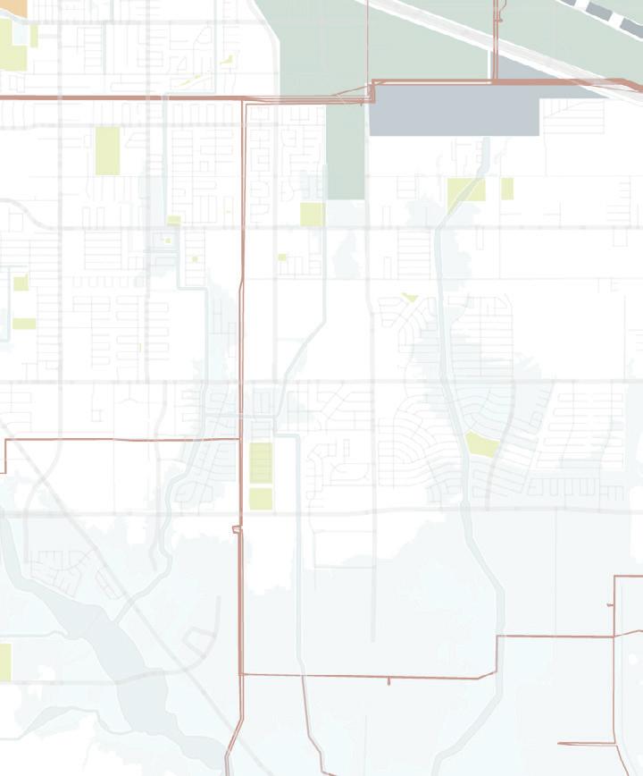
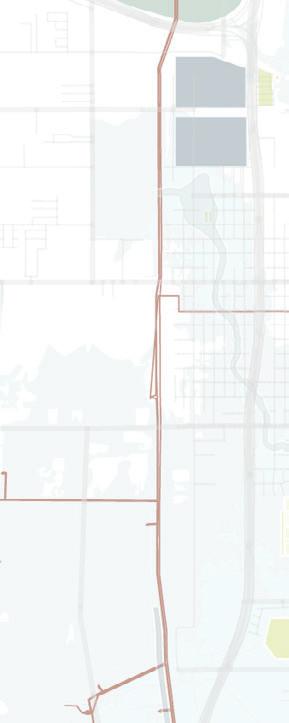

The historically black Fifth Ward has been negatively impacted by gentrification, soil contamination, lack of food access, and disinvestment. While community leaders, such as Cleo Johnson of the Black United Fund of Texas, work to create opportunities for Fifth Ward residents, there is still a tremendous need. Our intervention in the Fifth Ward, the Green House, is thus focused on remediation and food sovereignty.
The intervention serves as a platform for community voices. Its program includes an environmental justice magnet school and community offices, a wastewater treatment facility relocated out of the floodplain, indoor and outdoor remediating plant nurseries, and a community greenhouse. These changes help to remediate the adjacent scrap yard and builds community food security.
Waste flows from water treatment feed nutrients into community agriculture and the plant nursery, supporting remediation efforts further down the bayou. The park extends the building program outward, spanning school recreation, aquatic filtration gardens, and further remediation planting, helping to bridge the intervention with new development. Agricultural ribbons embed food sovereignty into the heart of the neighborhood. The project creates a direct link between citizens and the continually-evolving natural environment, seeding a culture shift through engagement with natural systems. The Green House aims to bring optimism and targeted investments that improve living conditions and provide opportunities for residents, both new and existing. Leveraging the remediation hub in the Fifth Ward, the bayou system is restored in phases to mitigate flooding, eliminate environmental contaminants (thereby allowing future development), and provide a connective park network.
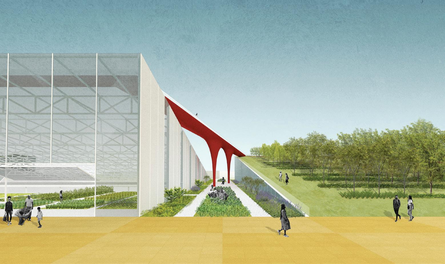

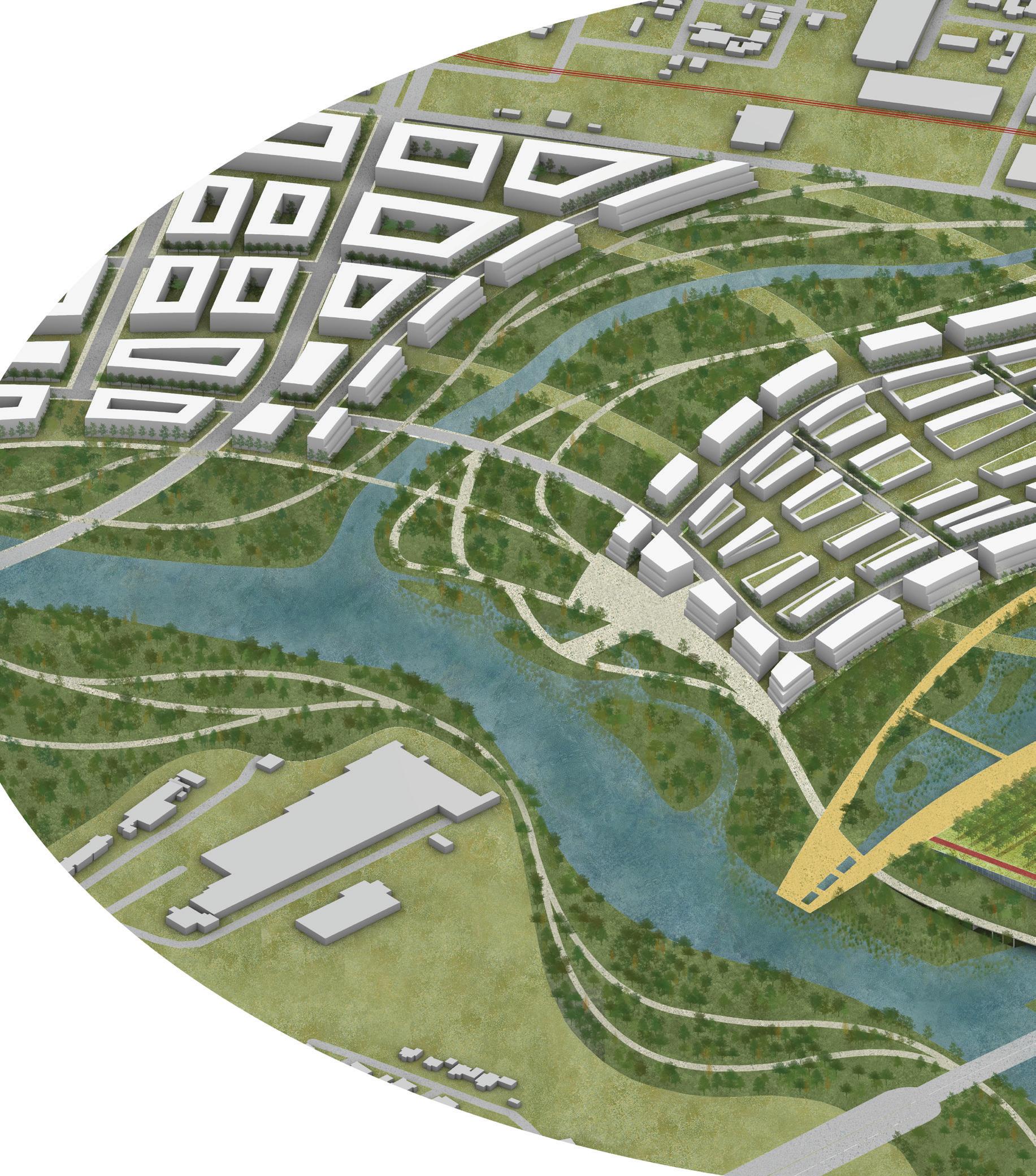
RAINWATER GARDENS
PLAYING FIELDS
GREEN HOUSE
REMEDIATION, 2030
PLAZA
COMMUNITY ORGANIZING SPACE
ENVIRONMENTAL JUSTICE MAGNET SCHOOL
LIGHT RAIL STATION
INDOOR AND ROOFTOP REMEDIATION NURSERY
INDOOR GREENHOUSE
WASTEWATER TREATMENT PLANT
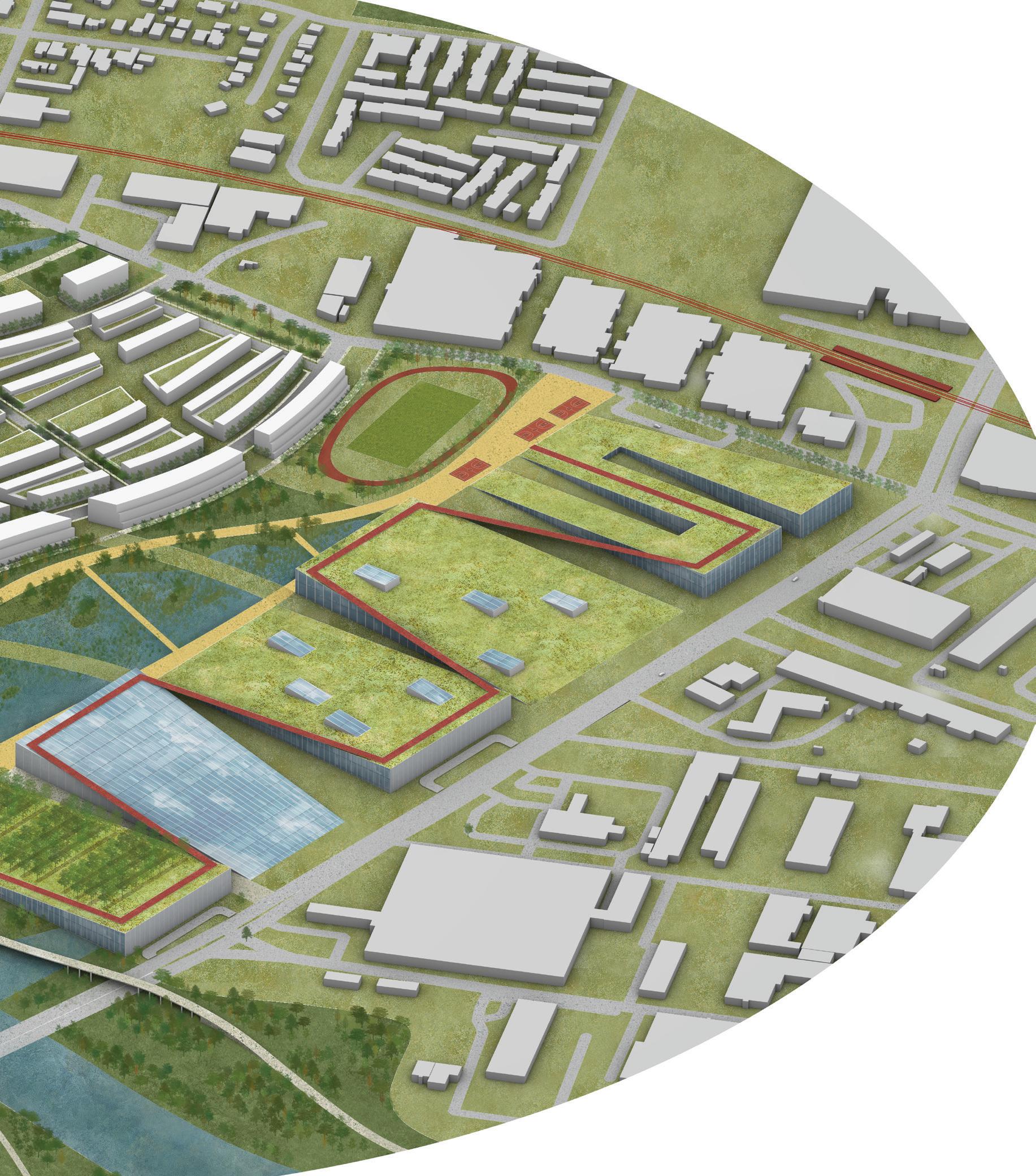
Harrisburg-Manchester is a economically vulnerable Latinx community whose residents have routinely fought against elevated cancer risk from direct proximity to petrochemical refineries. It exists in extreme isolation, as infrastructure has cleaved the community from its surroundings, the bayous, and the existing Charles Milby Park. Our intervention, the Power House, builds on the energy succession process with an emphasis on energy generation and community health.
The Power House, located at the intersection of Loop 610 and the La Porte Freeway, is a community hub that stitches together Harrisburg-Manchester with Pecan Park, Park Place, and Charles Milby Park via a freeway underpass park on Sims Bayou. Inside, a biomass generation plant is fueled by remediated plant material from Houston and its bayous. Waste heat is redirected towards heating pools, saunas, and baths, while a fitness center addresses the need for improved community health and wellness.
The synergy between bath and biomass generation materializes the energy production process, making it a tangible experiential event that fosters an understanding of alternative energy possibilities. The intervention connects the four adjoining neighborhoods with a new, emerging community that targets the primary, secondary and tertiary forms of illness prevention.2 Refinery closure and remediation removes the source of carcinogens, while a new community health center provides screening and routine care and neighborhood retail offers local food access. Finally, transit-oriented development around the extended light-rail Green Line, the underpass park, and expanded sports facilities improve connectivity to promote social and physical wellness. While the Power House serves as an important node in the emerging renewable energy network, it is connected to a broader energy landscape of former industrial sites that are to be converted to renewable generation over time.
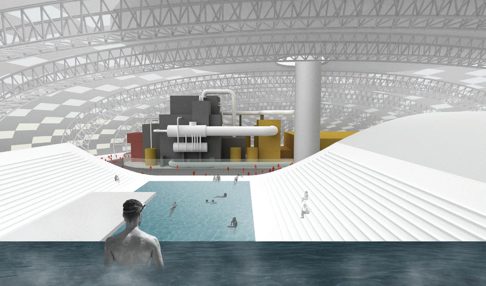
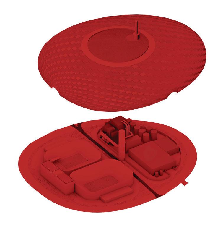
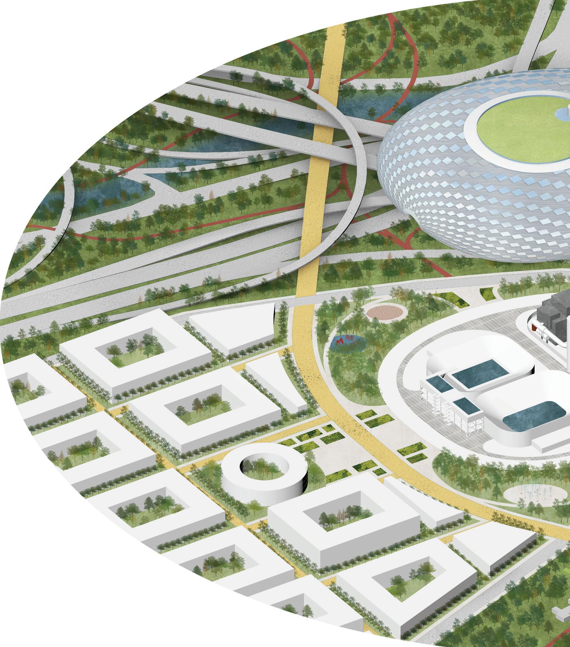
POWER HOUSE GENERATION, 2040
BIOMASS STORAGE
BIOMASS UNLOADING
SIMS BAYOU TO PARK PLACE

Channelview is a predominantly low-to-moderate income community critically underserved by parks, with only six acres out of the ninety total acres of parks recommended by Harris County.3 It is in need of affordable housing and improved recreational opportunities. Moreover, dredge deposits and petrochemical facilities block any actual view of the Channel. There is, therefore, an opportunity to shift the dredge deposition process in order to produce a more integrated relationship to the bayou. Long treated as a mere byproduct of channel operations, dredge in fact may be used to create pumped storage facilities that fill gaps in renewable energy generation.
These new landforms create elevated platforms that integrate affordable housing and recreational facilities. This approach leverages infrastructural systems to create opportunities for low-income residents to live in desirable waterfront locations. The design, attuned to the fluctuations of the local ecosystem, creates a marsh ecology that benefits from periodic inundation, an energy tide connected to generation and use.
The experience of this phenomena is intended to cultivate a more intimate understanding of the ebbs and flows of energy use and the need to relate infrastructural systems to the ecosystems in which they are situated. Rather than serving as barriers to community members’ access to the channel, the Pump Houses create an intertwined ecological energy landscape that offers views of the channel for residents of Channelview. These dredge sites, which occupy a much broader area than Channelview alone, represent a significant opportunity for energy storage, a major challenge in the transition to renewables.
The Pump House creates an intertwined ecological energy landscape that offers views of the channel for residents of Channelview, while providing energy storage and lake-side living.
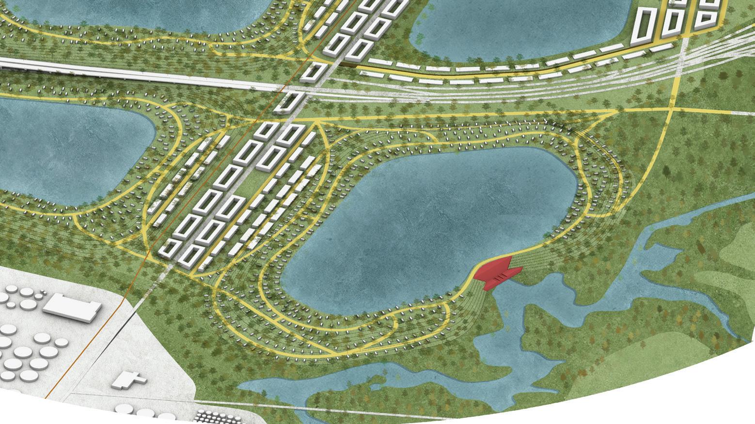
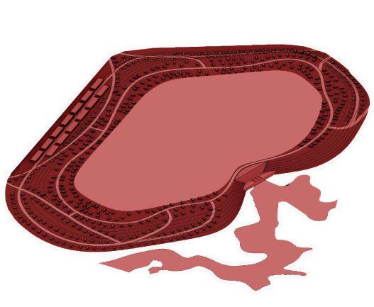
1. Double Jeopardy in Houston. n.d. Cambridge, MA: Center for Science and Democracy at the Union of Concerned Scientists.
2. Kisling, Lisa A, and Joe M Das. 2022. “Prevention Strategies.” Nih.gov. StatPearls Publishing. May 8, 2022. https://www.ncbi.nlm. nih.gov/books/NBK537222/.
3. Master Plan for Parks, Recreation and Open Space Phase Two Harris County, Texas. 2003. Houston, TX: Bricker + Cannady Architects.
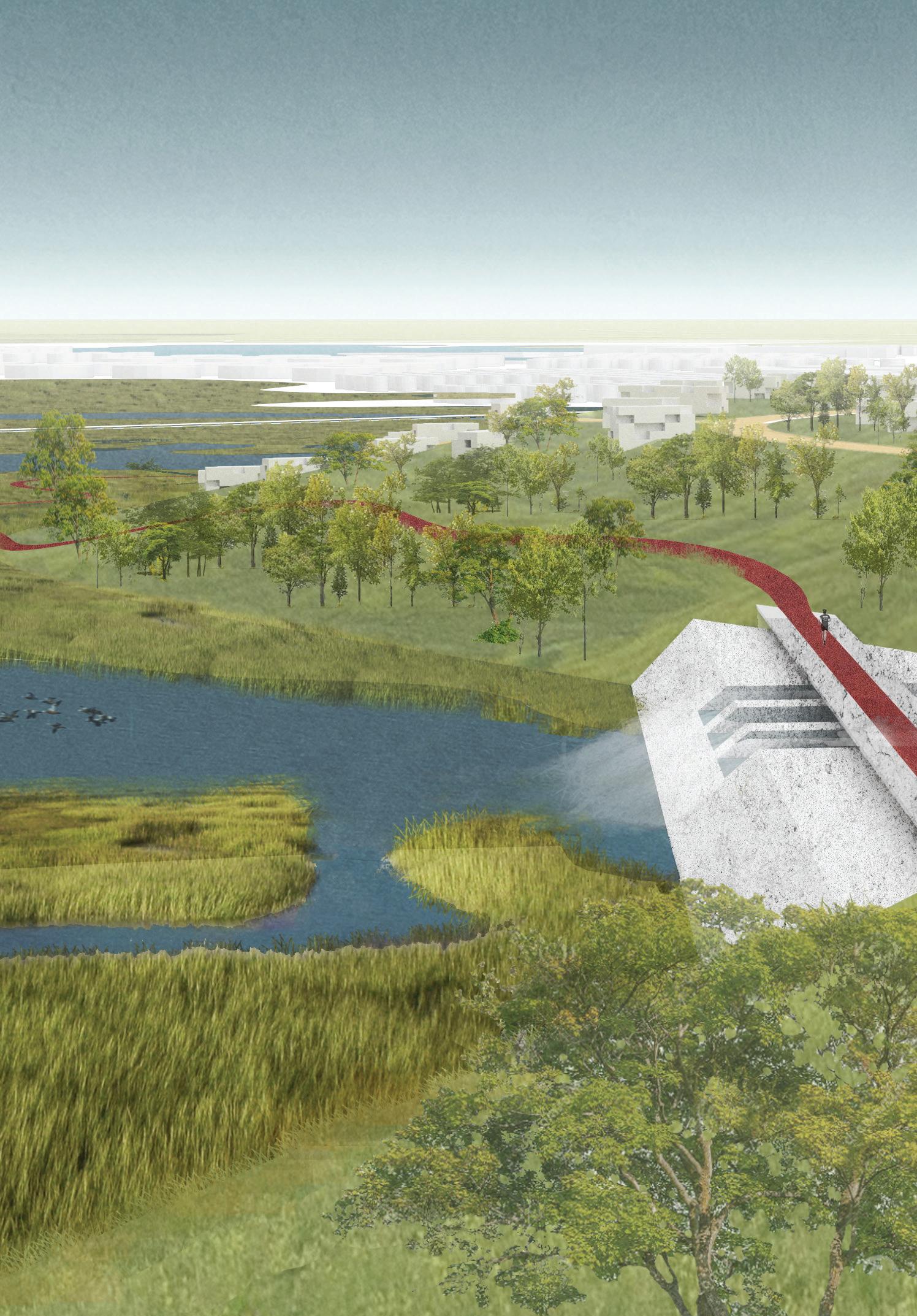
PUMP HOUSE STORAGE, 2050
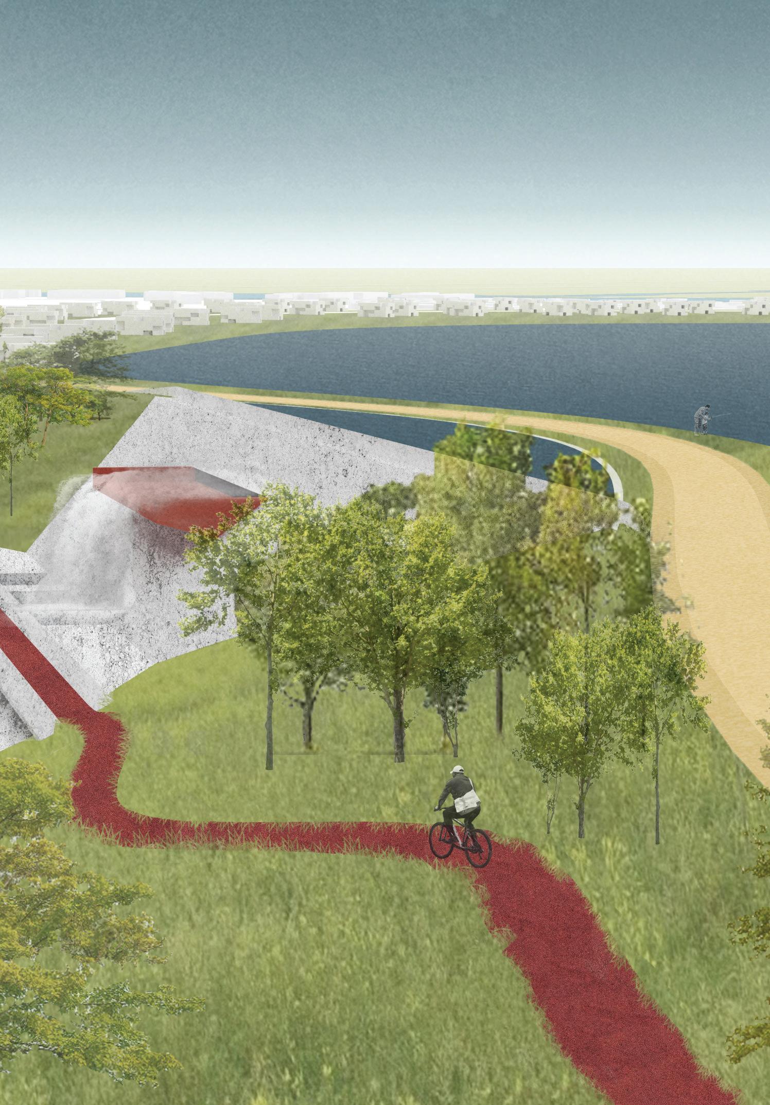
Finally, we move to La Porte, where the upstream transition culminates in a net carbon-negative manufacturing, logistics, and shipping hub that, through the processes of international trade, gives Houston’s local energy transition a global reach. The transition along the channel requires the consolidation of port facilities in areas that can accommodate wider lanes and larger ships (such as the waters around La Porte), where, in turn, more synergistic relationships can emerge. This new configuration allows the Port of Houston to become an accessible, public-facing, and ecologically-integrated port.
The Light House is a carbon sequestration incubator composed of three volumes and linked at its base to the Houston Maritime Museum. The lowest volume is an innovative carbon-sequestration startup incubator. The middle volume is a CO2 direct-air-capture tower that produces pressurized CO2. The tallest volume houses offices for the Port of Houston and spaces for venture capital investors looking to fund local innovation. The building is capped by the Museum’s public observation deck, which overlooks port activities, the Shipping Channel, and Galveston Bay. Once carbon sequestration infrastructure is expanded, the Light House startups scale up to the surrounding district, turning CO2 into a resource that offers new opportunities for entrepreneurship. These innovations feed into a broader low- and net-negative carbon manufacturing industry that can address the need for materials with a low embodied energy. Such materials are an essential component of a post-carbon future.
The Light House makes carbon tactile by expressing sequestration in architectural form and making visible carbon’s role in manufacturing. As an architectural monument, it symbolizes the city’s post-carbon transformation and future. Its rooftop vista reveals a transformed Ship Channel, one whose residents play a more active role in the broader, energy, material, and economic processes from which they have for too long been disconnected.
The Light House is a tripartite volume, linking startups, CO2 direct-air-capture technology, and Port of Houston and venture-capital offices. With a museum and public roof deck, the tower grounds the new climate-tech district and represents Houston’s post-carbon transformation.
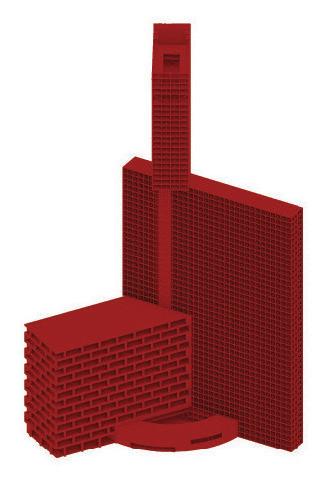

The Light House’s rooftop vista reveals a transformed Ship Channel, one whose residents play a more active role in the broader, energy, material, and economic processes from which they have for too long been disconnected.
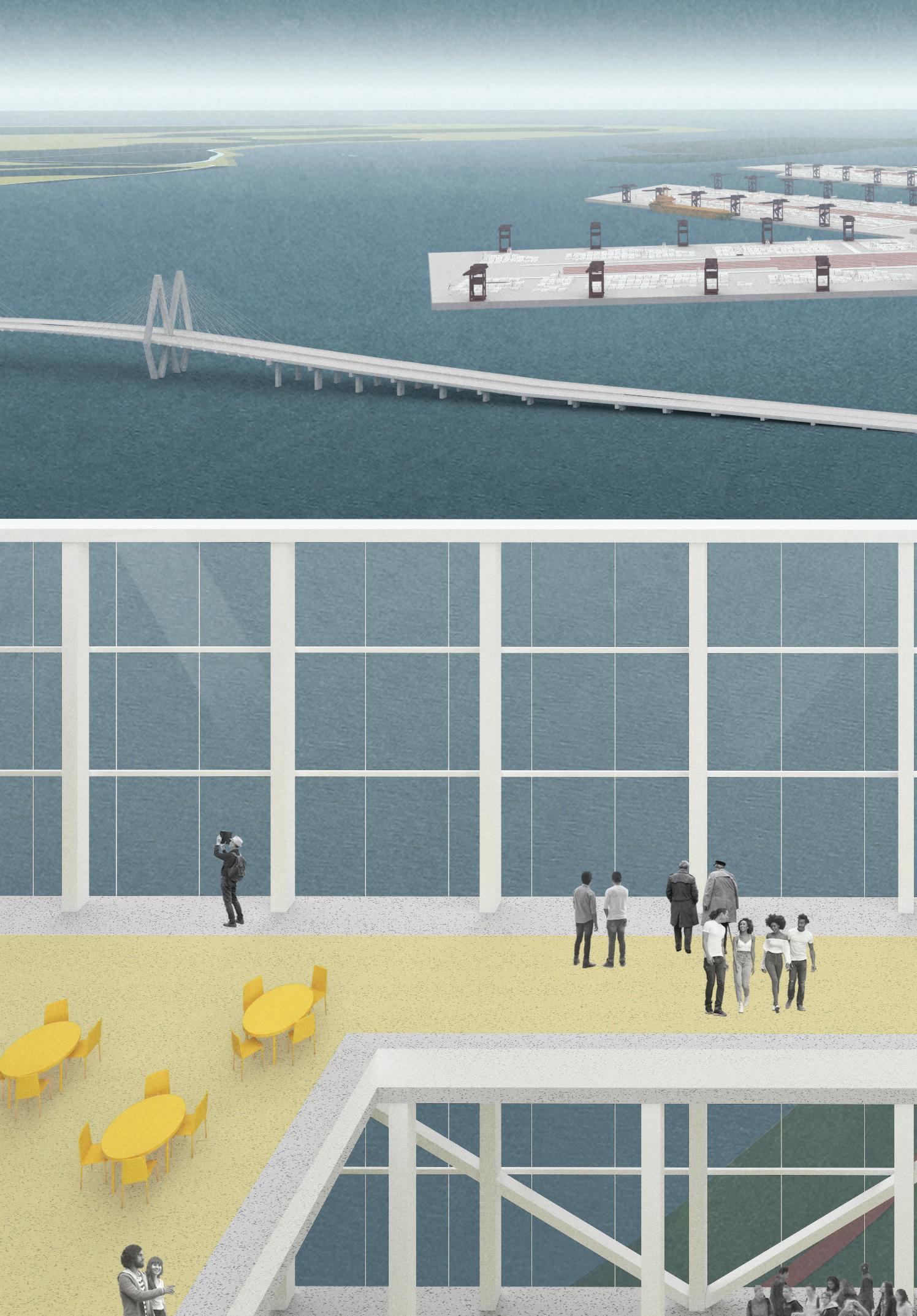
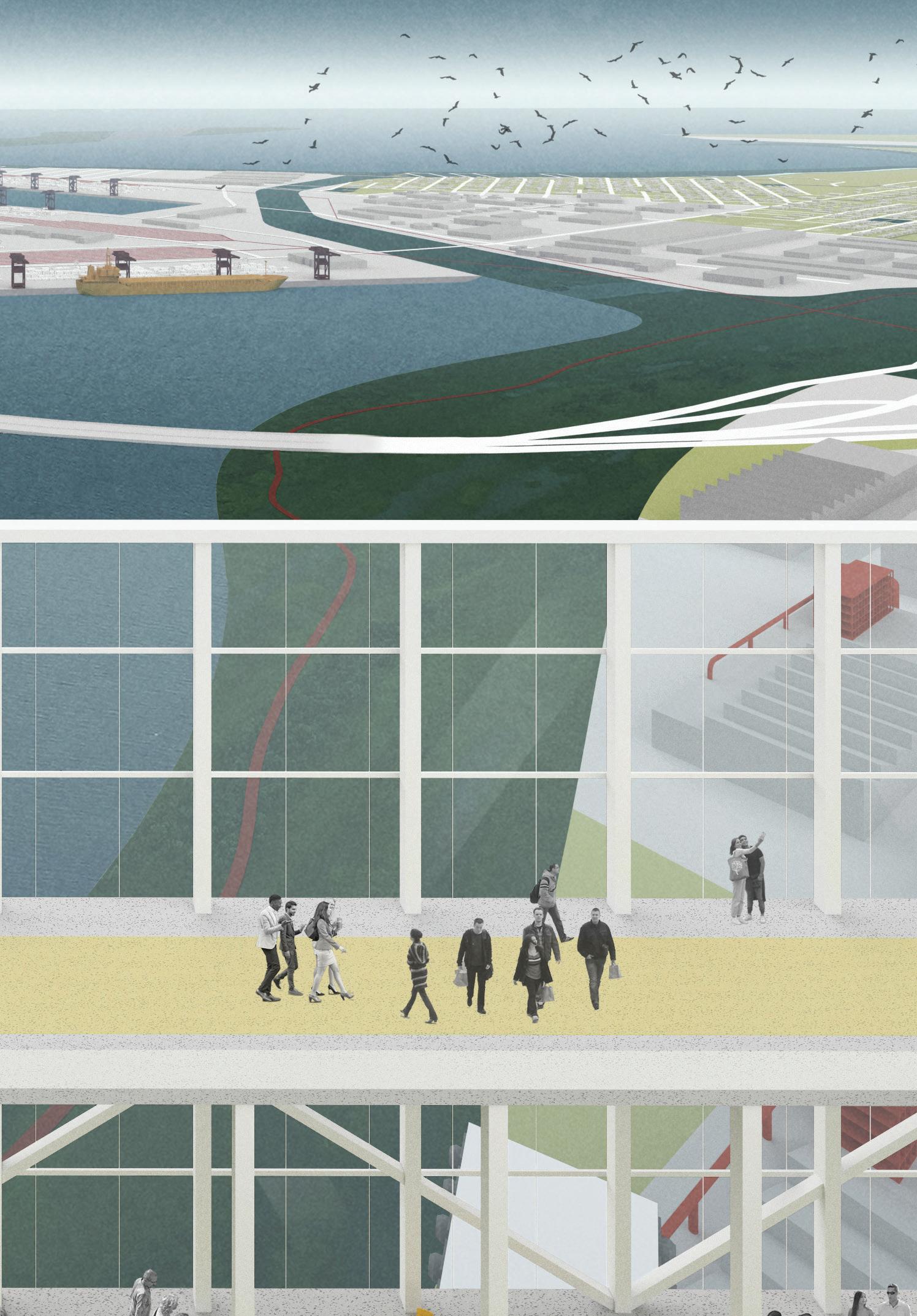

For complex topics such as urbanism, risk, and resiliency, design can play a powerful role as a convener and synthesizer. The aim of the studio was to use design to visualize challenges and opportunities, develop strategies, and innovate and envision the future environments (neighborhoods, landscapes, facilities, and buildings) that a just transition to a climate resilient city could bring, with feedback from local advocates, stakeholders, and experts.
The midterm review, held at the Rice University School of Architecture in Houston, Texas on March 14, 2022, was used for local validation of, and feedback on, initial design concepts and findings. Students presented research findings, “What If?” exercises, and preliminary design concepts to an interdisciplinary range of local and visiting guest critics, including Amna Ansari, founder of Houston-based urban design practice Associates UltraBarrio; Janice Barnes, founding partner of Climate Adaptation Partners, a global expert in resilience and adaption planning; Sean Chiao, FAIA, Fellow at AECOM and former Global Business Line Chief Executive of AECOM Buildings and Places; Steven Duong, Principal and lead of the Urbanism and Planning (U+P) practice for AECOM’s West Region; Dalia Munenzon, Associate at One Architecture and Urbanism; Albert Pope, Gus Sessions Wortham Professor of Architecture at Rice University; and Margaret Wallace Brown, Director of the City of Houston’s Planning and Development Department.
While in Houston, students took the opportunity to explore the city as well as the Ship Channel region and its component neighborhoods. They sailed down Buffalo Bayou from downtown to the Turning Basin and traversed the entire metropolitan area, from Bush Airport in the north, uptown and the Galleria, Montrose and Museum Park, the Texas Medical
Center, downtown, all the way along the Ship Channel from the Third Ward, Kashmere Gardens, through the Fifth Ward, Manchester, Pasadena, Deer Park, to the San Jacinto Monument, La Porte, and Baytown. This on-the-ground experience (between two trips in February and March of 2022), along with the review, bolstered the studio’s understanding of Houston as a place: namely, its unique local culture and the immensity of its scale, over ten thousand square miles (approximately 26,000 km2)—which, without visiting, would have been impossible to comprehend.
In this studio, we sought to explore the hypothesis that three pressing drivers—extreme weather, environmental justice, and the energy transition—could result in a wholesale reconfiguration of the Ship Channel area. We speculated that sites left empty by the drawdown of fossil fuel industries could be reimagined as sites not only of clean energy and logistics, but also natural systems, ecological environments, and new resilient neighborhoods for urban living. Taken together, the designs form a catalog of responses. In the final studio review, convened in the Piper Auditorium at the Harvard GSD on May 2, 2022, these responses stimulated a conversation about how to transform Houston into a climate-resilient and “just city” and the role of design pedagogy in exploring processes versus communicating through outputs.
Critics—some new, and others returning from the midterm review—included Lauren Alexander Augustine, Executive Director of the Gulf Research Program at the National Academies of Sciences, Engineering, and Medicine and expert in water, natural disasters, and resilience; Janice Barnes, founding partner of Climate Adaptation Partners, a global expert in resilience and adaption planning; Sean Chiao, FAIA, Fellow at AECOM and former Global Business Line Chief Executive of AECOM Buildings + Places; Gonzalo Cruz, Landscape Architecture & Urban Design Practice Lead at AECOM Buildings + Places; Steven Duong, Principal and lead of the Urbanism + Planning (U+P) practice for AECOM’s West Region; Gina Ford, a landscape architect and co-founder and principal of Agency Landscape + Planning; Cleo Glenn Johnson-Mclaughlin, community leader and President of the Houston-based Black United Fund of Texas; Reverend James McLaughlin, Houston community leader; Nancy Lin, Director of Operations at AECOM
Global Buildings + Places; Dalia Munenzon, Associate at One Architecture + Urbanism; Sarah Whiting, Dean and Josep Lluís Sert Professor of Architecture at the GSD; and Ross Wimer, FAIA, Architecture Lead, Americas and Senior Vice President at AECOM. Beyond discussing the specifics of the individual schemes and the particularities of Houston, concluding conversations centered on the power of articulating a vision to stakeholders and the nature of designing for crises. As guest critic and Houston community leader Reverend James McLaughlin concluded, based upon the projects presented, he “could see
the vision clearly” for a post-carbon Houston despite being nearly blind, and consequently, he could articulate it to his community to get members on board.
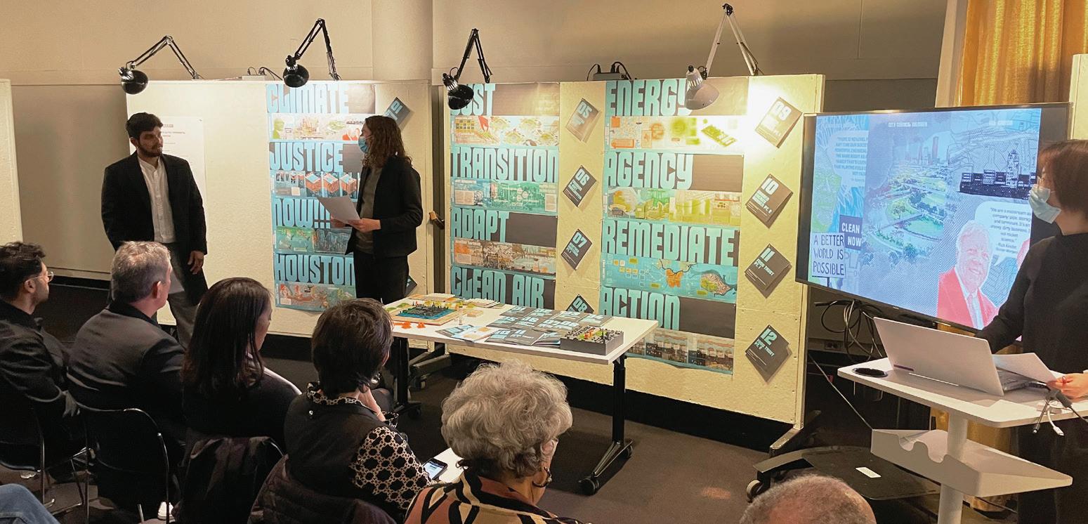
According to Studio Instructor Matthijs Bouw, lessons from the studio for designing for crisis are manifold. First, it’s important to distinguish between two types of crises: “There are slow-running crises that are eating away at people’s health and livelihoods, or coastal areas, or ecosystems, and then there are catastrophic crises that are—in the language of resilience— low probability and high impact.” As Bouw
 The students worked together to design the exhibition layout in Piper Auditorium.
 Wanjiku Ngare and Cristian Bas present their work.
explains, “During COVID, we have seen how public health is related more than ever to issues of structural racism, to our fossil fuel economy (because of pollution and respiratory issues), and so on.” This logic applies to other crises as well: “The climate crisis is intimately connected to the biodiversity crisis.” The complexity inherent to interrelated systems is the first problem found in crisis situations, he says. “There is a lot that we don’t know about these relationships, but we do know that many of these relationships play out on a systemic scale and bring with them a high level of uncertainty.”
Bouw advises that we should approach crisis through careful research and as part of a team. “Projects you do as a practitioner cannot stand on their own,” he says. “Any project is part of something much bigger.” This can be an uncomfortable situation for designers: “I was trained as a designer to stand in front of an audience and say, ‘This is the big idea,’ and then try to sell the idea,” Bouw says. “That’s an ethic of the past. You need to start thinking about yourself more as a participant in a much more complex process.” Design in face of crisis requires “the right mix of willfulness and humility.”
This doesn’t mean abandoning the triedand-true techniques of design. Bouw emphasizes the importance of “tools for communication— creating the material to make conversations easier—and the research tools through design exploration.” He says that design professionals play an important role as mediators: “Balancing
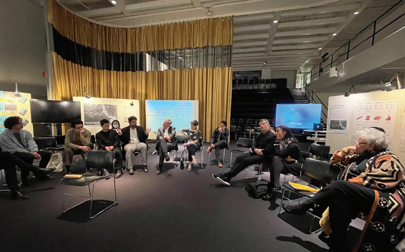
the systemic dimension with the hyper-local or the hyper-precise is what we do.” This is particularly important in large-scale crises, which are also largely invisible.
Asked about specific participatory design practices, Bouw notes that they vary around the world: “In planning in the Netherlands, we are employing design in a more integrated way to engage complex processes. Planning in the United States is relatively disassociated from design—the tools of planning are predominately things like texts, spreadsheets, and PowerPoints. It doesn’t tend to test things and try to see how things come together on the ground.” For Bouw, this tendency avoids the crucial questions of practical engagement: “What would it take to implement this? Where could it get funding from? How do we engage the powers that be in the set processes of delivering projects?” Without practical, on-the-ground participation, Bouw says, “the end is often either paralysis or business as usual, and we can’t do either.” Taken together, these lessons are particularly important as Houston, the United States, and the world each face the complex, interrelated, and multi-scalar problems posed by climate change.
Adapted from “Environmental Justice, Energy Infrastructure, Migration and War: What Role Does Design Play in Mitigating a Crisis?” by Matthew Allen, Harvard GSD, July 12, 2022
 Group photo of critics and students. Students not pictured: Percy Long, Tian Wei Li.
 Nancy Lin, MArch ’97 Global Business Line Director of Operations, Buildings and Places, AECOM
Questioning how to stay resilient and continuing to look for future-proof design solutions are critical not just to us as a company, but as an obligation to our industry.
The urban issues we are confronted with are becoming more complex and challenging. Providing advisory services as well as interdisciplinary design and engineering solutions to programs that our clients request are no longer the only ways to help mitigate climate risks. Partnering with academic institutions such as the Harvard Graduate School of Design enables us to define urgent matters, propose potential solutions, and engage critical stakeholders together. The pedagogy of the design studio offers an inclusive and safe environment that allows us to create a neutral platform to elevate important agendas for discussion without economic, political, and social constraints.
The Ship Channel in Houston is, in many ways, an ideal site for research and design. It stands to benefit from many different modes of intervention: addressing environmental and water contamination; dealing with vehicular and pedestrian accessibility, social equity, post-industrial re-adaptation, and housing shortages; and providing leisure, sport, and education opportunities for residents. Students with diverse backgrounds from architecture, landscape, urban design, and urban planning are also key to the success of the studio, as they provide inputs across various disciplines. Most importantly, working closely with local communities to understand the context and engaging with non-profit organizations and regional leaders demonstrates what is vital about interdisciplinary work.
We are very grateful to have the opportunity to make an impact on these important issues by working with the Graduate School of Design since 2012. Together, we hope to continually maximize our communication network throughout the industry to make a difference on such critical issues. It is only when we all take on these unavoidable urban and social issues as our own problems to solve that we will have a chance to tackle the climate challenges ahead of us.
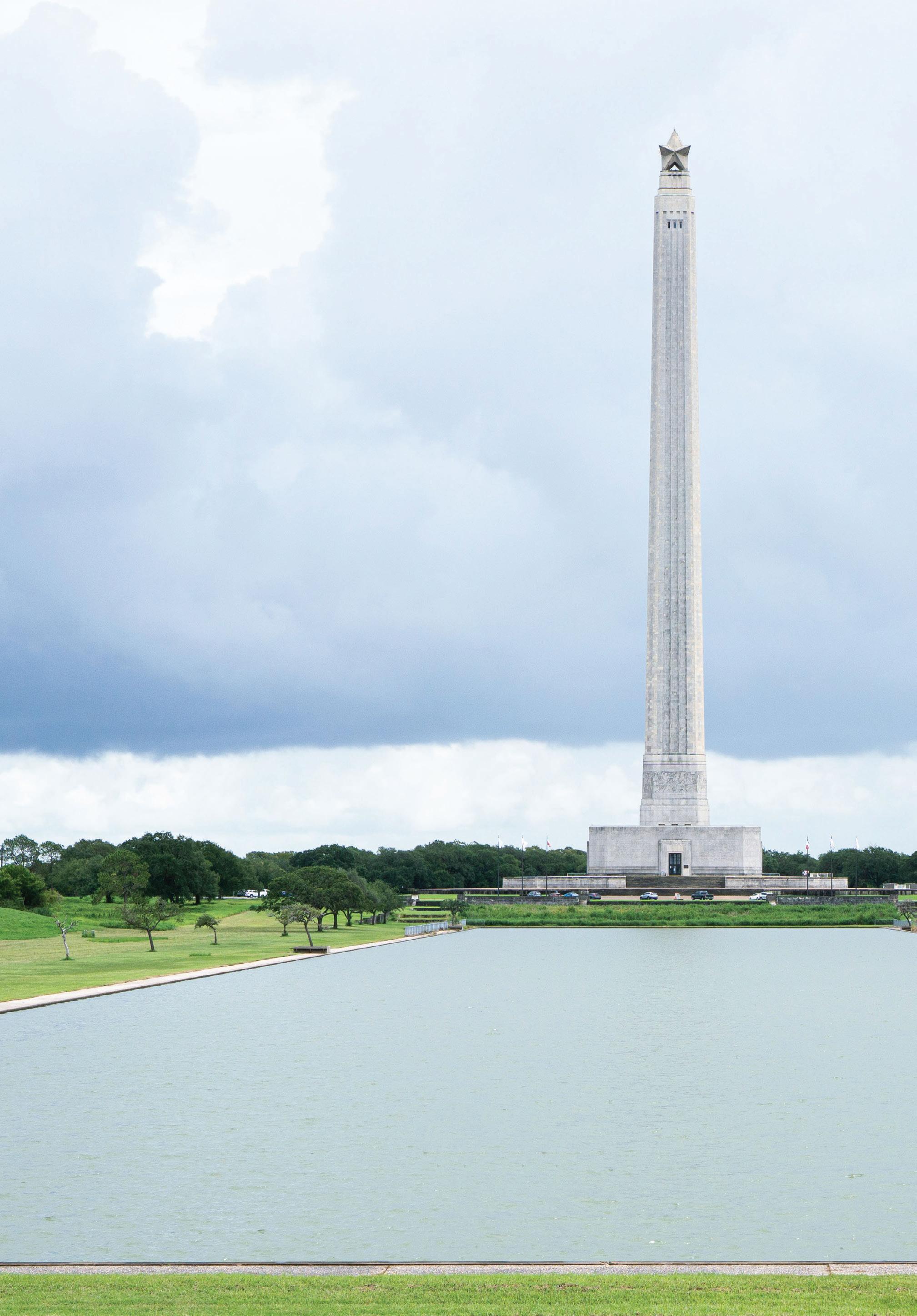
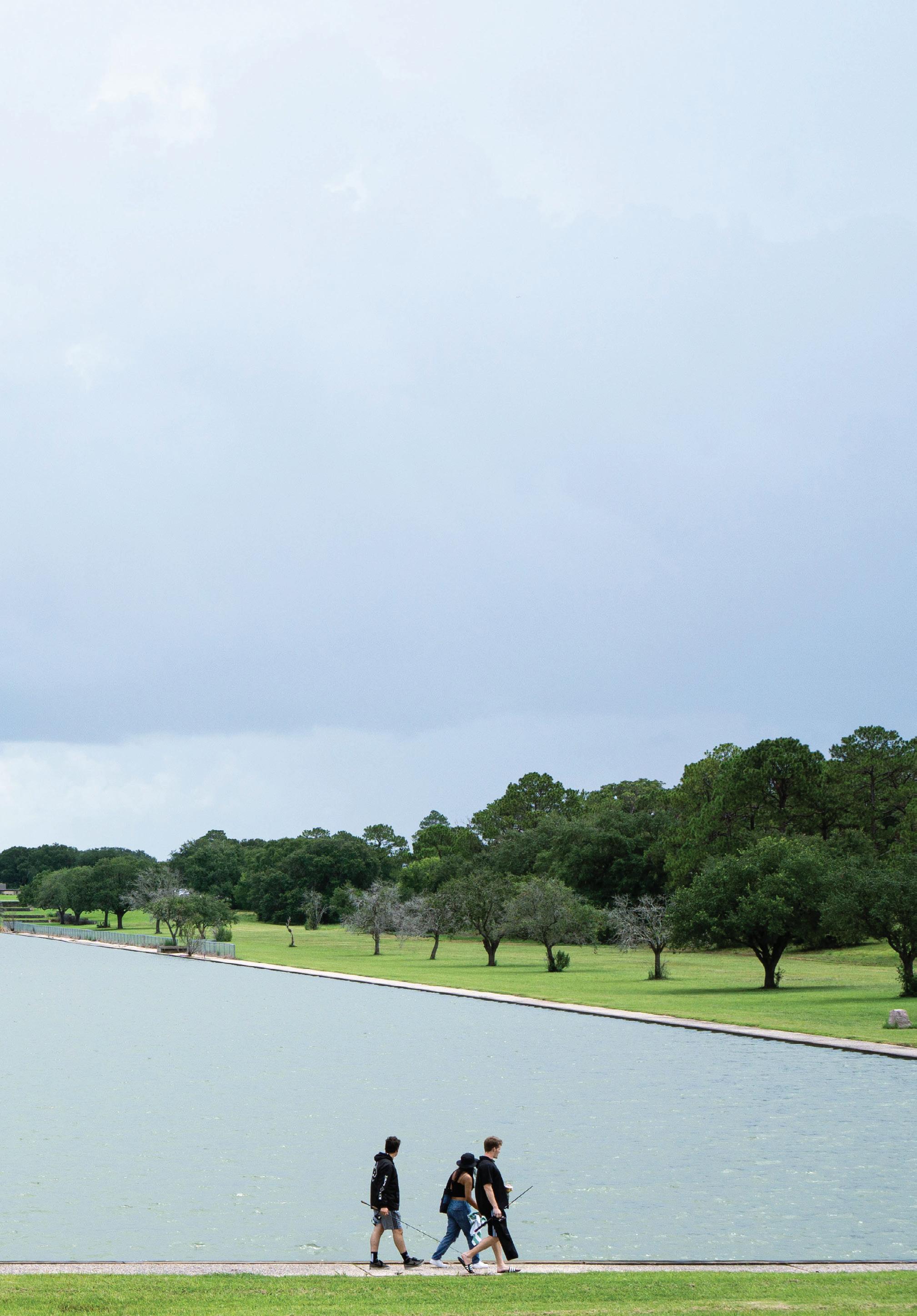
Matthijs Bouw
Matthijs Bouw is a Dutch architect, urbanist and founder of One Architecture and Urbanism (est. 1995), an award-winning Amsterdam and New York-based design and planning firm that is a global leader in the use of design for climate adaptation and mitigation.
Bouw is a Professor of Practice and McHarg Center Fellow for Risk and Resilience at the University of Pennsylvania Weitzman School of Design. Bouw’s work at Penn theorizes and positions design as an integrator and innovator among scales, disciplines, actors and issues in urban resilience, water management and energy transition projects. Additionally, he researches how to achieve and increase ‘resilience value’ in the implementation of complex projects.
Bouw’s practice is known for its unique approach in which programmatic, financial, technical and organizational issues are addressed, communicated and resolved through design. Bouw has been a pioneer in the use of design as a tool for collaboration, for instance through the development of ‘Design Studios’ as an instrument to support the Netherlands’ Ministry of Infrastructure and the Environment with its long-term planning.
In New York City, the office co-led the BIG Team that won the Rebuild by Design competition for the flood protection of Manhattan, and is currently part of the multidisciplinary teams executing the ESCR and BMCR projects, as well as planning the Lower Manhattan Coastal Protection project, including the recently presented FiDi/Seaport
Masterplan. Other North American projects include various Boston Climate Ready district plans, Houston’s Resilient Neighborhoods Planning and Vancouver’s Sea2City. In Asia, the office works on numerous “building with nature” and urban climate resilience projects for clients such as ADB, the World Bank and WWF. In the Amsterdam region, the office is laying the groundwork for two climate robust urban developments, Amsterdam-Havenstad and Almere-Pampus, each comprising of some 30.000 new houses.
Matthijs Bouw co-curated (with Kristin Feireiss) the 2000 Dutch pavilion at the Venice Biennale and has published articles and reviews in many architectural publications, such as Wiederhall, de Architect, Archis/Volume, Werk, Bauen + Wohnen, Bauwelt and MONU. In 2006, the Korean DD series published a monograph of One Architecture’s work. In addition to his practice and publications, Matthijs Bouw teaches and lectures internationally. He was a guest professor at TU Delft, Berlage Institute, TU Graz, University of Kentucky College of Design and Sci-Arc, and was professor i.V. of Gebaeudelehre und Grundlagen des Entwerfens at the RWTH Aachen.
In 2014, Matthew Stadler’s book on Bouw’s work, Deventer, was published by nai010publishers. Bouw’s most recent book, Building with Nature, focuses on naturebased solutions for climate change adaptation and mitigation. In 2022, the book Managing the Climate Crisis: Designing and Building for Floods, Heat, Drought, and Wildfire, co-authored with Jonathan Barnett, will be published by Island Press.
Christopher Ball
Christopher Ball is an American architect, urbanist, editor and researcher with interests at the intersection of architecture, ecological urbanism, climate adaptation and visual culture. Presently a Master of Architecture in Urban Design candidate at Harvard GSD, Christopher’s work, studies, and research have led to a diversity of collaborations around the world, including in France, Switzerland, China and across the United States, most recently in the New York office of Bernard Tschumi Architects.
Wanjiku Ngare
Wanjiku Ngare is a 2022 graduate of the Master of Urban Planning program at Harvard GSD. She has focused her career on social impact, working on projects across sectors (e.g. economic development, renewable energy, wearable health tech) and countries as a management consultant. She plans to continue harnessing her multi-disciplinary skillset in facilitating a more just transition to a low-carbon world.
Skyler Smith is a landscape designer pursuing their Master in Landscape Architecture II degree at Harvard GSD. They are interested in the unique context of communities in the Sun-Belt and the issues such regions face in the midst of the energy transition. They have worked in the Houston office of Design Workshop, an international landscape, planning and urban design firm and have a background in gardening and urban farming.
Cristian Bas
Dylan Culp
Yijia Duan
Grant Fahlgren
Kai Guo
Percy Long
TR Radhakrishnan
Tian Wei Li
Youngsoo Yang
Houston: Extreme Weather, Environmental Justice, and the Energy Transition
Studio Instructor
Matthijs Bouw
Publication Editors
Christopher Ball
Skyler Smith
Studio Teaching Assistant
Youngsoo Yang
Copyeditor
Charlie Gaillard
Proofreader
Alissa Serfozo
AECOM Buildings and Places

Dean and Josep Lluís Sert Professor of Architecture
Sarah Whiting
Chair of the Department of Landscape Architecture
Gary Hilderbrand
Chair of the Department of Urban Planning and Design
Rahul Mehrotra
Copyright © 2023 President and Fellows of Harvard College. All rights reserved. No part of this book may be reproduced in any form without prior written permission from the Harvard University Graduate School of Design.
Text and images © 2023 by their authors.
We would like to thank Sean Chiao and the AECOM Buildings and Places team for their generosity and support. Thank you to the Rice University School of Architecture and AECOM Houston for hosting us during our visits in February and March 2022. We would also like to thank Ms. Cleo Glenn Johnson-McLaughlin of the Black United Fund of Texas for welcoming us to Houston and her community.
Image Credits
Cover: Cristian Bas; Page 1: Skyler Smith; Page 4: Cristian Bas; Page 8: Cristian Bas; Page 10: Skyler Smith; Page 11: Cristian Bas; Page 12: Christopher Ball; Page 13: Dylan Culp (both); Page 14: Dylan Culp; Page 17: Cristian Bas; Page 18: Cristian Bas; Page 22: Dylan Culp; Page 23: Christopher Ball; Page 24: Skyler Smith; Page 26: Youngsoo Yang; Page 28: Dylan Culp; Page 41: Community Lattice; Page 44: Port of Houston; Page 59: Christopher Ball; Page 84: Dylan Culp; Page 94: Christopher Ball; Page 212: Christopher Ball; Page 215: Tian Wei Li, Christopher Ball; Page 217: Anita Kan, Christopher Ball; Page 218: Christopher Ball; Page 219: Kai Guo; Page 220: Christopher Ball; Page 221: Christopher Ball; Page 222: Anita Kan; Page 226: Skyler Smith.
The editors have attempted to acknowledge all sources of images used and apologize for any errors or omissions.
Harvard University Graduate School of Design
48 Quincy Street Cambridge, MA 02138
gsd.harvard.edu
ColophonSpring 2022
Harvard GSD
Department of Landscape Architecture
Department of Urban Planning and Design
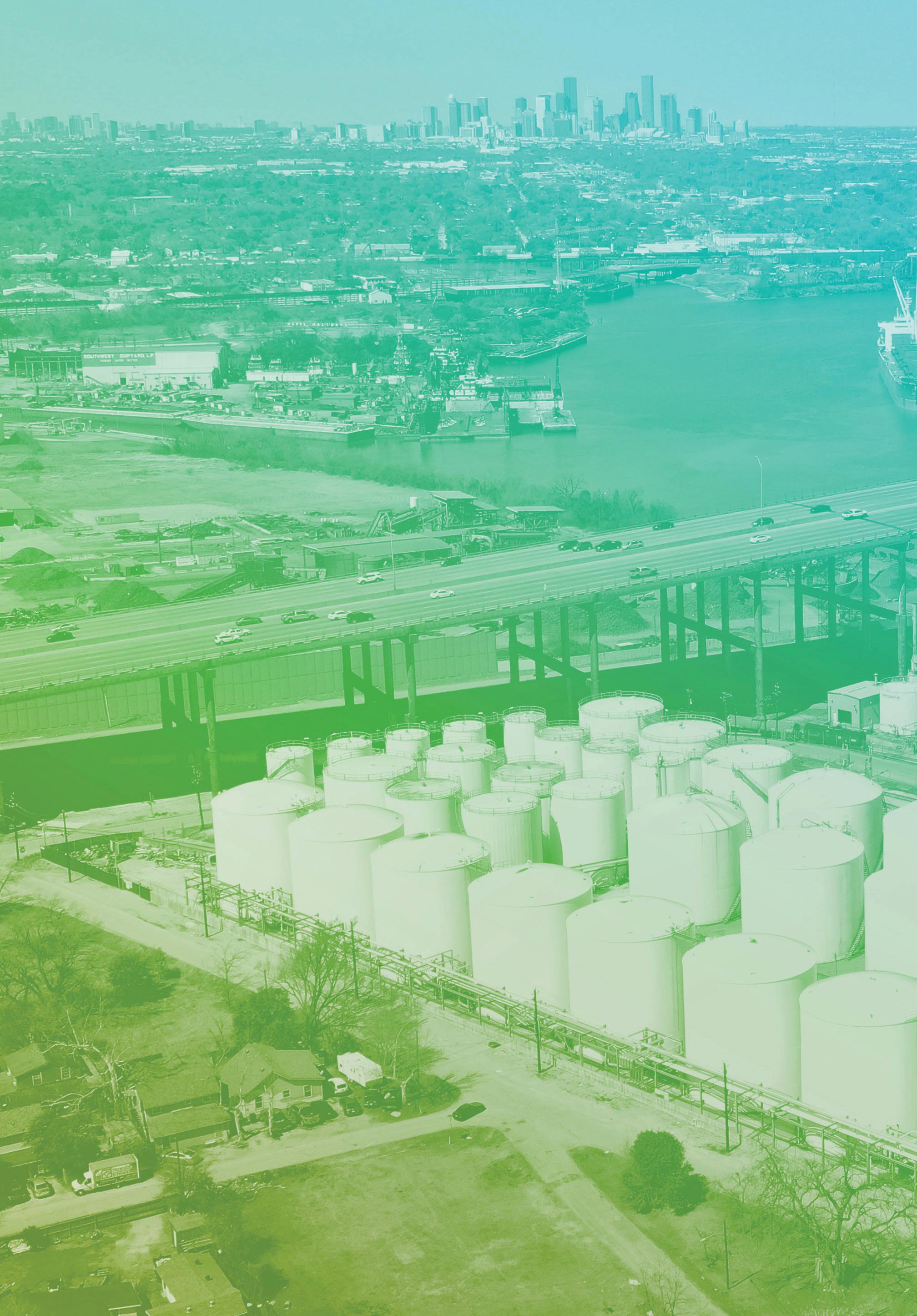
Students
Christopher Ball, Cristian Bas, Dylan Linares Culp, Yijia Duan, Grant Fahlgren, Kai Guo, Tian Wei Li, Percy Long, Wanjiku
Ngare, TR Radhakrishnan, Skyler Smith, Youngsoo Yang