3 minute read
PART ONE OF A RIVER JOURNEY THROUGH CENTRAL ARKANSAS.
Next Article
BY BRIAN C. HURLEY
“Do y’all have any cigarettes?”
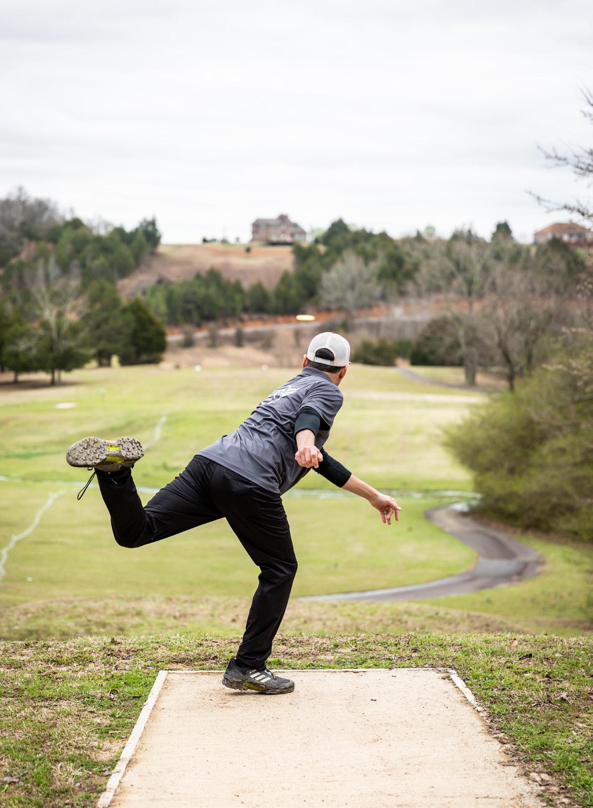
The drunken call came from a raft that was spinning in circles, heading for the next rapid. The water was high and the large waves knocked beer cans and life jackets from their craft, and regularly swamped our canoe, which was loaded with gear for our four-day, 115-mile trip down the Mulberry and Arkansas rivers.
Ana told them that we didn’t as we passed by, probably wishing she did so she could have one, too. Later, after we had pulled over to camp on a gravel bar near Turner Bend, we saw the same foursome float by in various states of undress and consciousness, one yelling, ‘Do y’all know what time it is?’ over the rapids, laughter and slight panic of his friends.
The uppermost stretch of the Mulberry was designated as a scenic river in 1992 under the Wild and Scenic Rivers Act of 1968. To achieve the official designation of scenic, it stipulated that a river must be free-flowing and relatively difficult to access, with the banks largely remaining in what the National Park system calls a “primitive state.”
Around the town of Oark (population 96), where we put in, the Mulberry’s official designation changes from “scenic” to “recreational.” Here, the water remains the same, but the shoreline changes.
There are still plenty of wooded hillsides and bluffs on this stretch, but those are increasingly interspersed with fields and RV campgrounds. In this narrow valley, the river and Arkansas Highway 215 are often just a few feet apart. The water itself, however, retains its wildness. As we made our way through the swollen Class II rapids, our canoe was swamped by waves. Ultimately, we avoided tipping, but had to stop every few miles to dump out the water that had splashed in.
The next morning, after stopping by the store at Turner Bend for flush toilets and gas station sandwiches, the second day continued on much as the first had. Twenty miles of larger-than-expected rapids had us dodging fallen trees (most of the rocks were covered by high water) and then scanning the shore for places to pull over and dump the canoe. Rope swings, Jolly Ranchers and access to endless skipping rocks helped ease our annoyance at having to stop so frequently.


Still in the recreational section of the river, with the Ozark National Forest on either side, there are few roads and only the occasional half-forgotten home. Apart from a few people fishing from kayaks, we saw no other people. Ana said she felt like explorers in our own right, charting new territory down the mighty Mulberry of Arkansas.
As the river bends towards the south, the landscape flattens. The water keeps flowing fast but the channel spreads, often passing through strainers of willow saplings growing in the river. School buses drove by on narrow local roads that ran parallel to the banks.

In the distance we could hear what sounded like another large rapid, but turned out to be the rumble of trucks on the Interstate 40 bridge. I’ve driven over that bridge probably hundreds of times and have always craned my neck to catch a glimpse of the view up and downstream. Passing underneath it now, we could see that the underside was covered with the mud nests of cliff swallows, which were darting in and out. Somehow they survive amid the constant noise pollution of the traffic overhead.
Beyond the bridge, the river flows past the town of Mulberry at the appropriately named Bluff Hole Park. One of the main features of the park is a swimming hole and a bluff from which to jump into it. Several teenagers were wading in the water, watching three of their friends who had climbed about 25 feet up with the intention of jumping and landing in the river.
Ana and I slowed to watch them. One would get ready to go, then walk back from the edge. Then another would do the same. Then another. And then again. All the while, their friends waded along, mocking and encouraging them from below. As we looked back before floating out of sight, the three were still there, neither able to jump nor give up.
To be continued.
A River Runs Through It
Landmarks to visit as you trace this route.
OARK (Johnson County)
Famous for its scenery, this tiny burg is also home to Oark General Store and Cafe, the oldest continuous-operation store in Arkansas, established in 1890. Long known by touring motorcyclists as a must-stop, you’ll find groceries, picnic and camping supplies and what some people consider the best food in the region.
TURNER BEND (Franklin County)
At the heart of The Pig Trail, arguably Arkansas’s most famous stretch of highway, resides Turner Bend Store, a landmark generations in the making. Motorists stop to get their land legs back and paddlers pull in for grub and Cokes. Smiles and expert river advice are always free; go there just to say you’ve been there.

MULBERRY (Crawford County)
Something’s going on in Mulberry, a sleepy riverside community of about 1,600. The quaint town sits amid scenic splendor and is experiencing a commercial rebirth, starting with its restaurants. Check out Beth Ann’s for breakfast or lunch home cooking. Or for a truly nostalgic experience, visit Dairy Dip Diner, in business since 1952.


